© Verein Mühlviertler Granitland


- Korte beschrijving
-
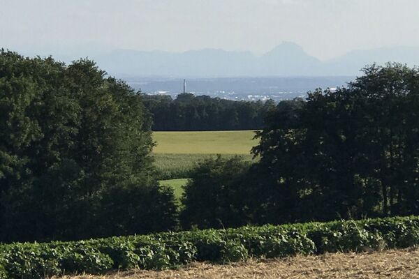
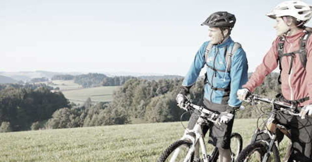
This route leads from the lowest to the highest point of the Granite Land South - from the Danube to the Gis.
- Waardering
-
- Route
-
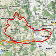
Ottensheim0,3 kmAmberg5,3 kmGramastetten8,2 kmGasthaus zur Gis15,9 kmLichtenberg19,6 kmLandgasthaus Holzpoldl20,7 kmNeulichtenberg20,7 kmKoglerauer Spitz (685 m)24,0 kmKöglerhof24,4 kmDürnberg27,9 kmGuckerstein28,2 kmGasthaus Dürnberg30,8 km
- Beste seizoen
-
janfebmrtaprmeijunjulaugsepoktnovdec
- Maximale hoogte
- 884 m
- Hoogteprofiel
-


- Auteur
-
De rondleiding MTB - Danube GIS circuit wordt gebruikt door outdooractive.com op.
GPS Downloads


Algemene info
Verfrissingsstop
Veelbelovend
Meer rondleidingen in de regio's
-
Mühlviertel
194
-
Linz & Region Linz
95
-
Eidenberg
39