© OÖ Tourismus Hochhauser - Christoph Steinweg

- Korte beschrijving
-
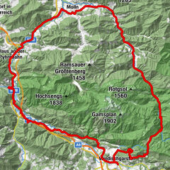
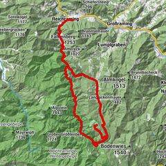
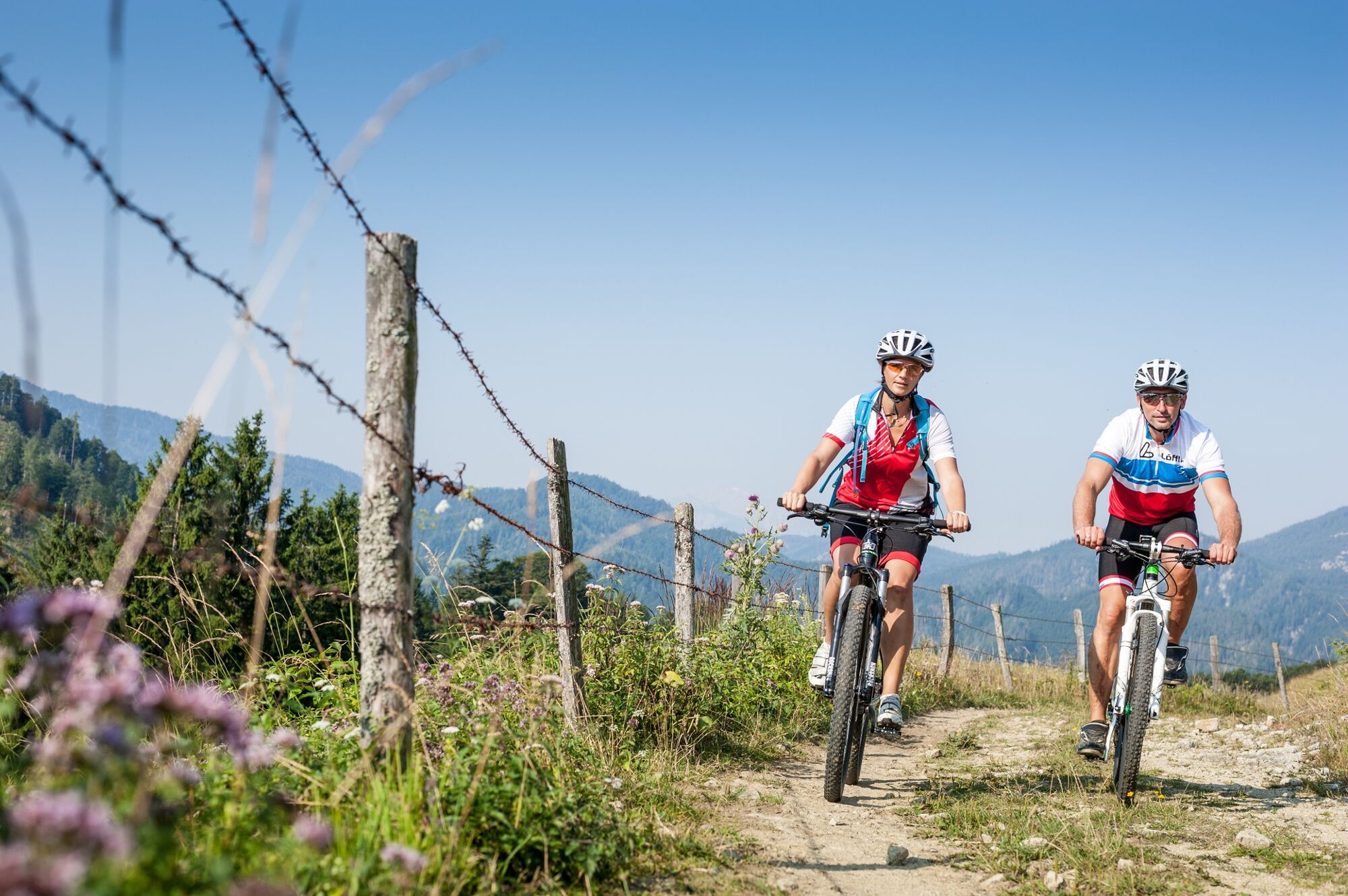
Impressive panoramic tour, which can be extended by the Kohlergrabenrunde and the Spadenbergrunde.
- Moeilijkheid
-
gemakkelijk
- Waardering
-
- Route
-
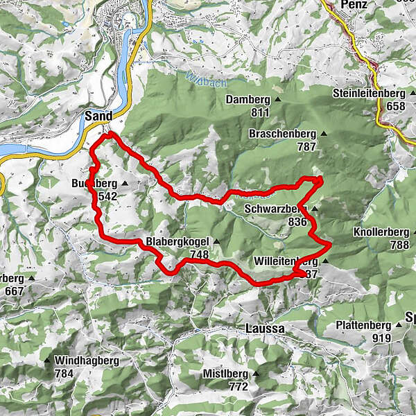
Dambach0,7 kmUnterdambach2,1 kmGasthaus Weidmann2,1 kmRumplhöhe12,9 kmUnterlaussa13,1 kmSand19,2 km
- Beste seizoen
-
janfebmrtaprmeijunjulaugsepoktnovdec
- Maximale hoogte
- 759 m
- Bestemming
-
Sand
- Hoogteprofiel
-

- Auteur
-
De rondleiding Große Dambachrunde wordt gebruikt door outdooractive.com op.
GPS Downloads


Meer rondleidingen in de regio's
-
Traunviertel
148
-
Steyr und die Nationalpark Region
116
-
Laussa
39