© TV Nationalpark Region Ennstal - Martin Weymayer - Christoph Steinweg

© TV Nationalpark Region Ennstal - Christoph Steinweg

© TV Nationalpark Region Ennstal - NAtionalpark Kalkalpen - Christoph Steinweg

- Korte beschrijving
-
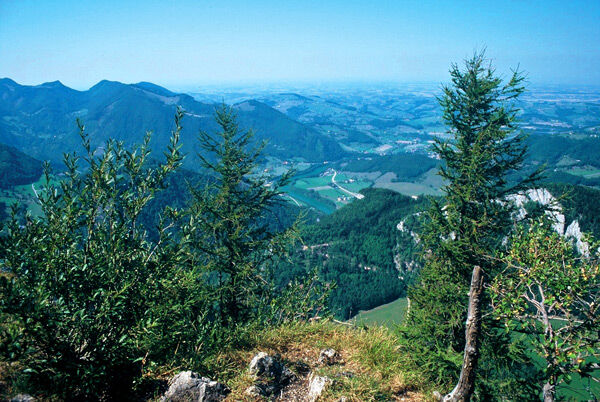
Sunny bike tour to a lookout pulpit above the Enns valley with a view over the Wendbach, to the Enns and the alpine foothills.
- Moeilijkheid
-
medium
- Waardering
-
- Route
-
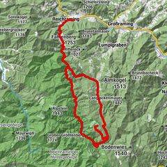
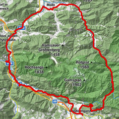
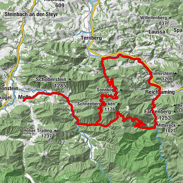
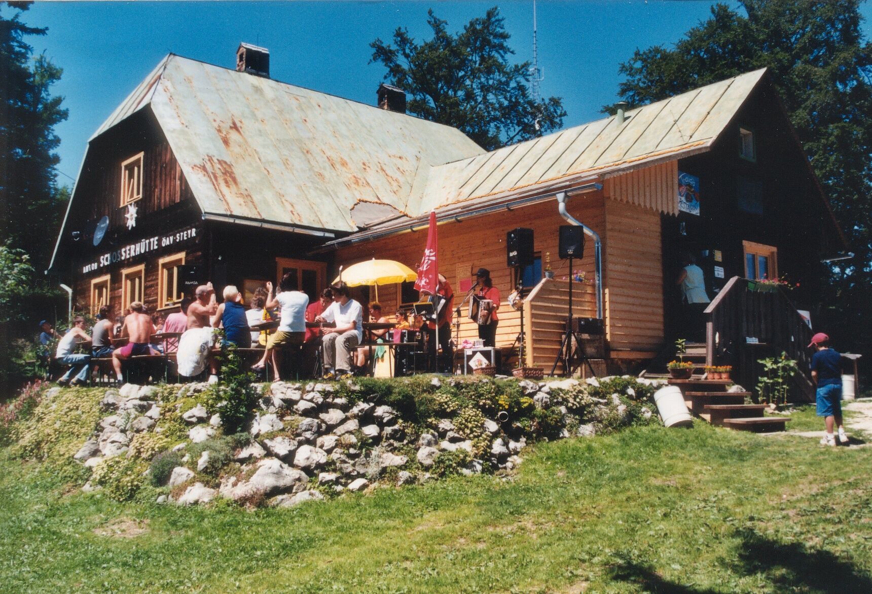
Pfarrkirche Molln0,2 kmMolln (442 m)0,3 kmristorante dal Siciliano0,3 kmBerggasthof Windhager-Kores5,9 kmBreitenau6,1 kmGeißhanslniedern (934 m)17,2 kmWeißenbachkapelle24,2 kmPfarrkirche Reichraming30,1 kmReichraming30,2 kmGasthaus Aglas30,2 kmLosenstein35,9 kmMösern50,2 kmBreitenau61,9 kmBerggasthof Windhager-Kores62,2 kmMolln (442 m)67,6 kmristorante dal Siciliano67,7 kmPfarrkirche Molln67,8 km
- Beste seizoen
-
janfebmrtaprmeijunjulaugsepoktnovdec
- Maximale hoogte
- 1.025 m
- Bestemming
-
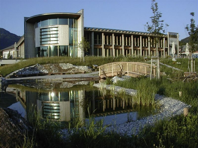
Nationalpark Zentrum Molln
- Hoogteprofiel
-

- Auteur
-
De rondleiding Around the Hohe Dirn wordt gebruikt door outdooractive.com op.
GPS Downloads


Algemene info
Veelbelovend
Meer rondleidingen in de regio's