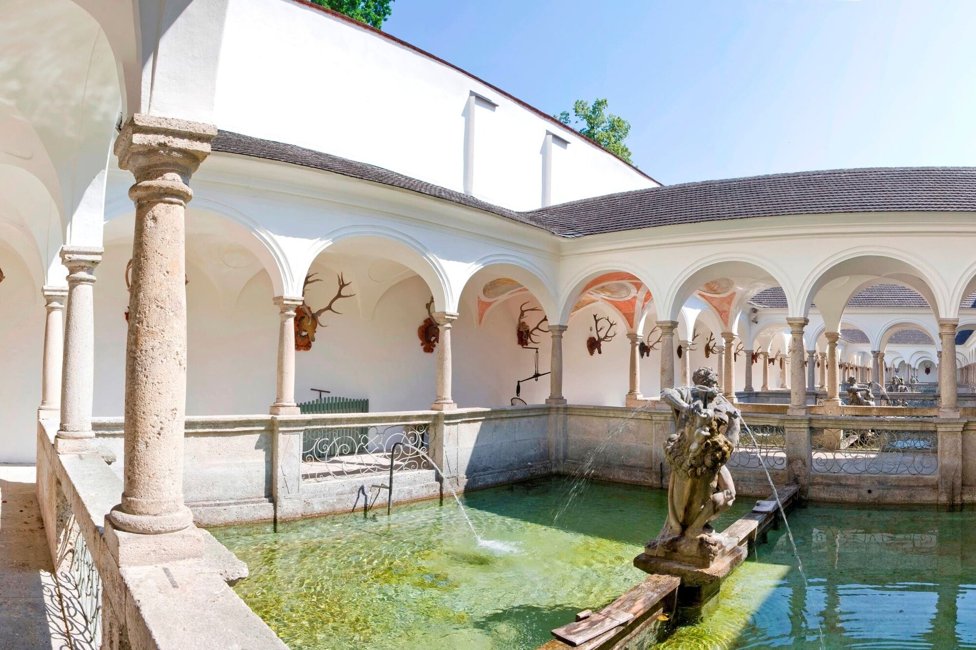
© Velontour - Dein genussvoller Radurlaub - © Erwin Haiden

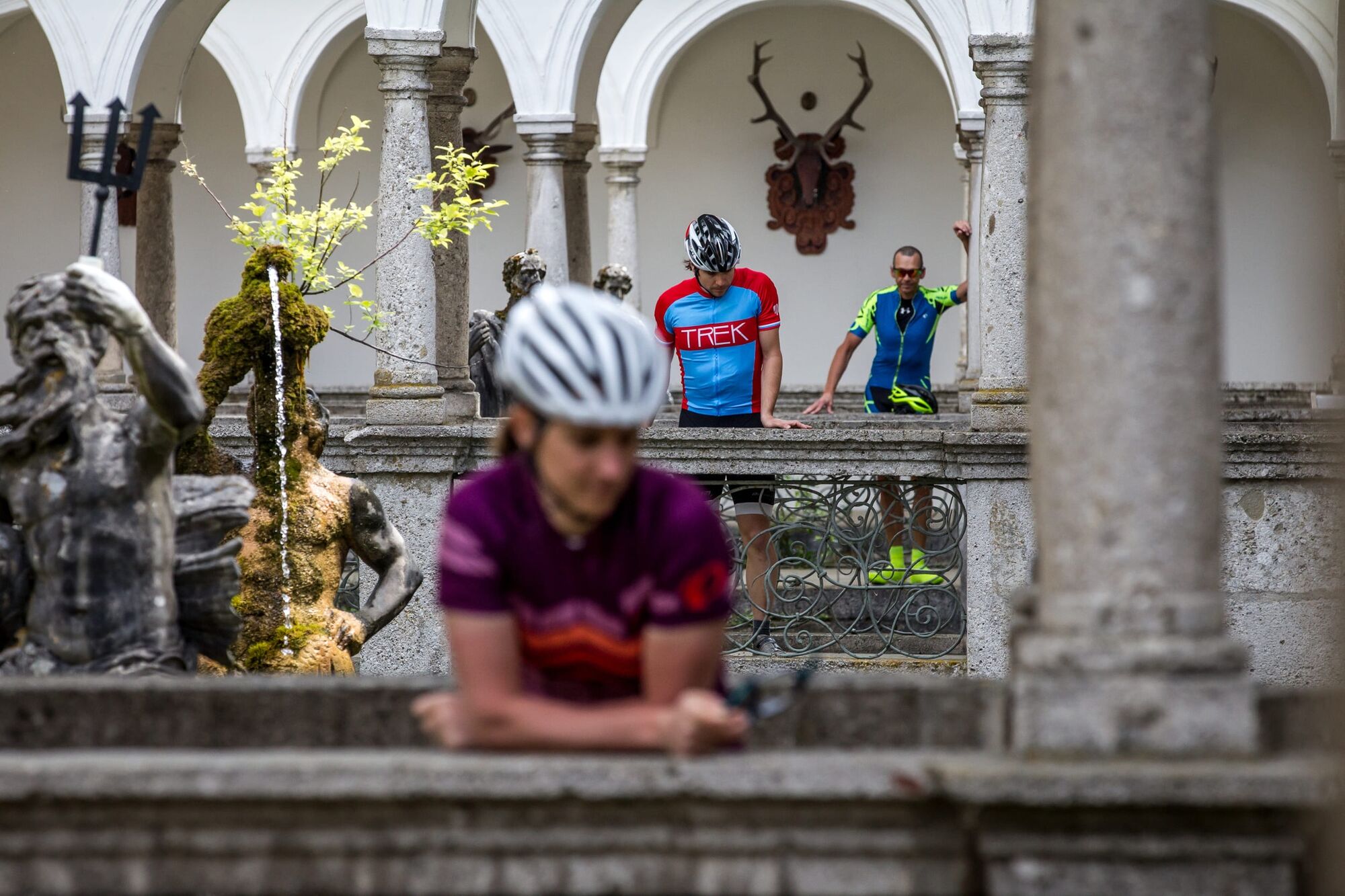
© Velontour - Dein genussvoller Radurlaub - © Reinhold Weissenbrunner

- Korte beschrijving
-
Cycle path on quiet side roads without significant slope, manageable even for the untrained.
- Moeilijkheid
-
gemakkelijk
- Waardering
-
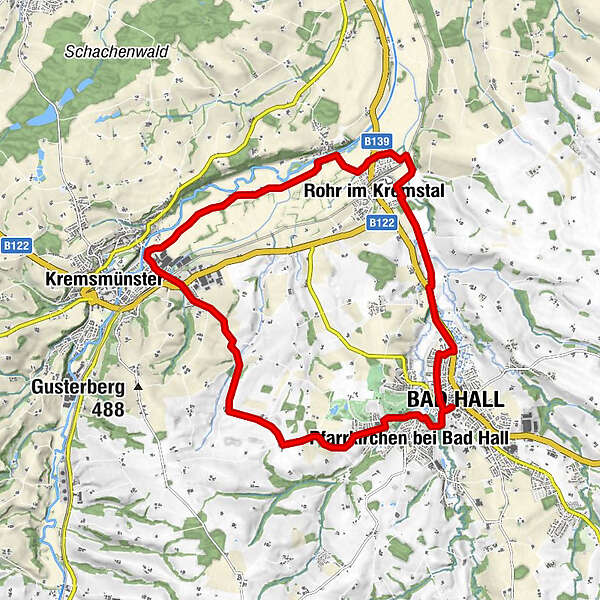
- Route
-
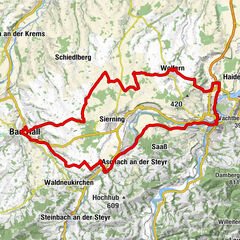
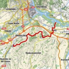
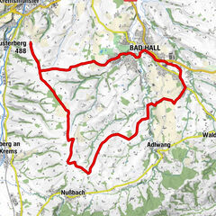
Bad HallPfarrkirchen bei Bad Hall1,1 kmFeyregg1,9 kmDehenwang4,2 kmAu8,5 kmRohr im Kremstal14,0 kmBad Hall18,2 kmPfarrkirche Bad Hall18,3 km
- Beste seizoen
-
janfebmrtaprmeijunjulaugsepoktnovdec
- Maximale hoogte
- 447 m
- Bestemming
-
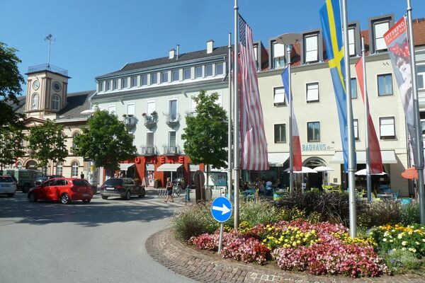
Bad Hall, Eduard-Bach-Straße (Forum Hall)
- Hoogteprofiel
-

-
-
AuteurDe rondleiding “Kultour” cycle tour wordt gebruikt door outdooractive.com op.
GPS Downloads


Meer rondleidingen in de regio's