© Erwin Haiden

© Oberösterreich Tourismus GmbH/Erwin Haiden

© Oberösterreich Tourismus GmbH/Erwin Haiden

© Oberösterreich Tourismus GmbH/Erwin Haiden

© Oberösterreich Tourismus GmbH/Erwin Haiden

© Oberösterreich Tourismus GmbH/Erwin Haiden

- Korte beschrijving
-
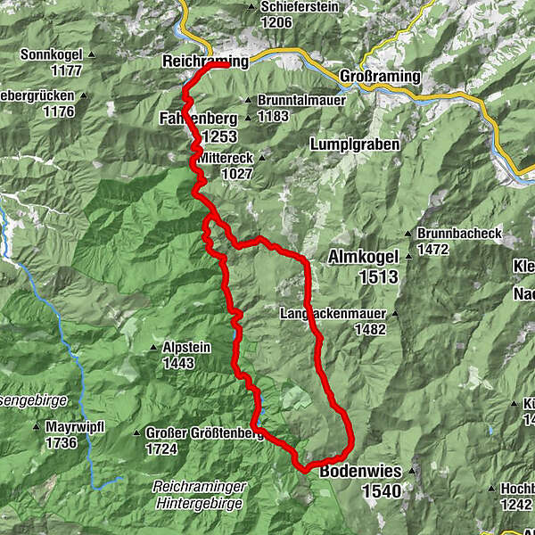
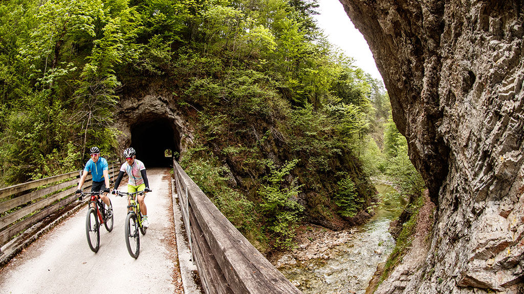
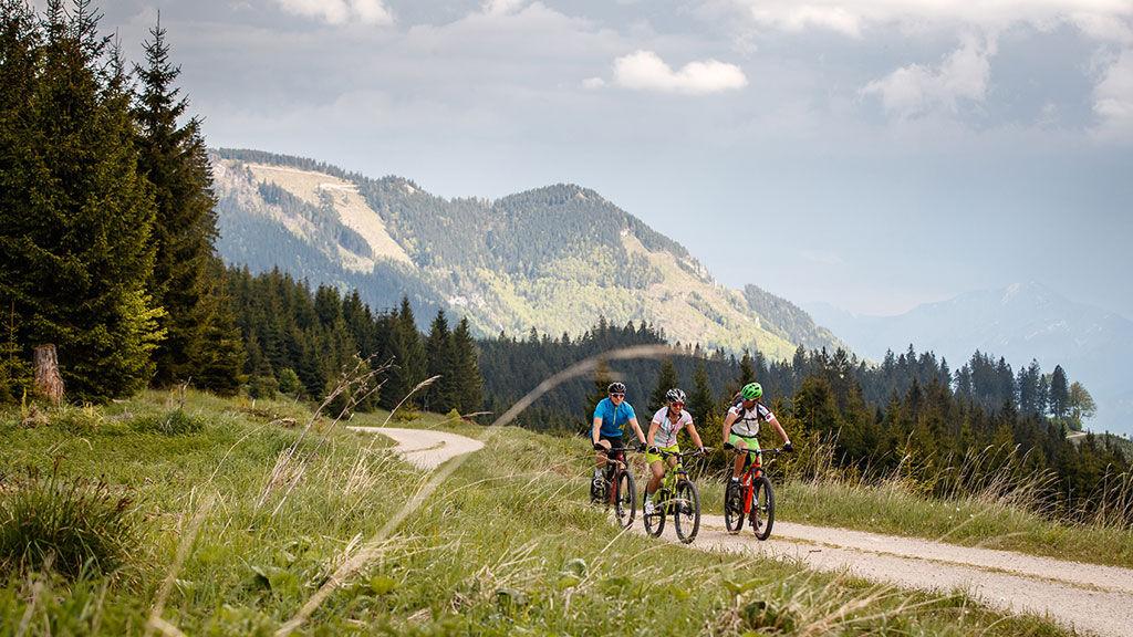
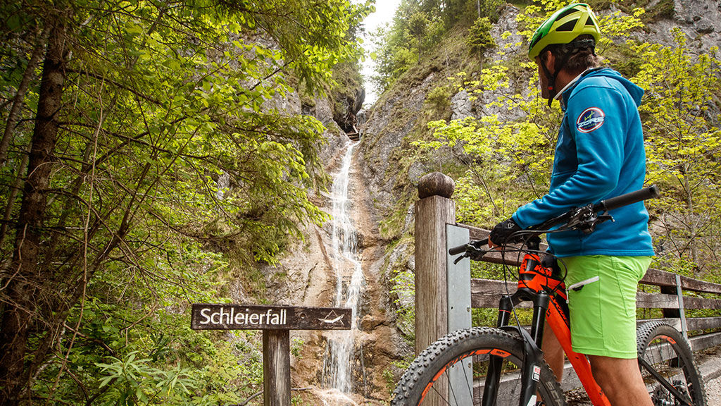
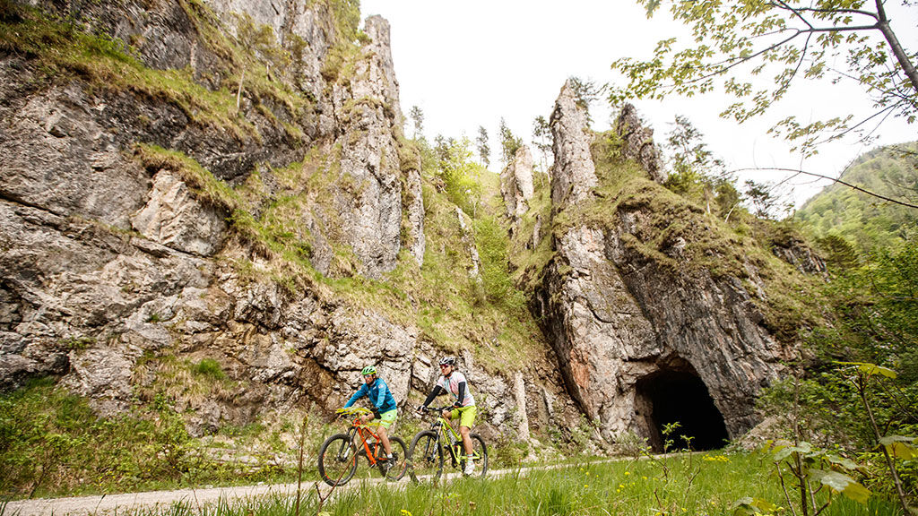
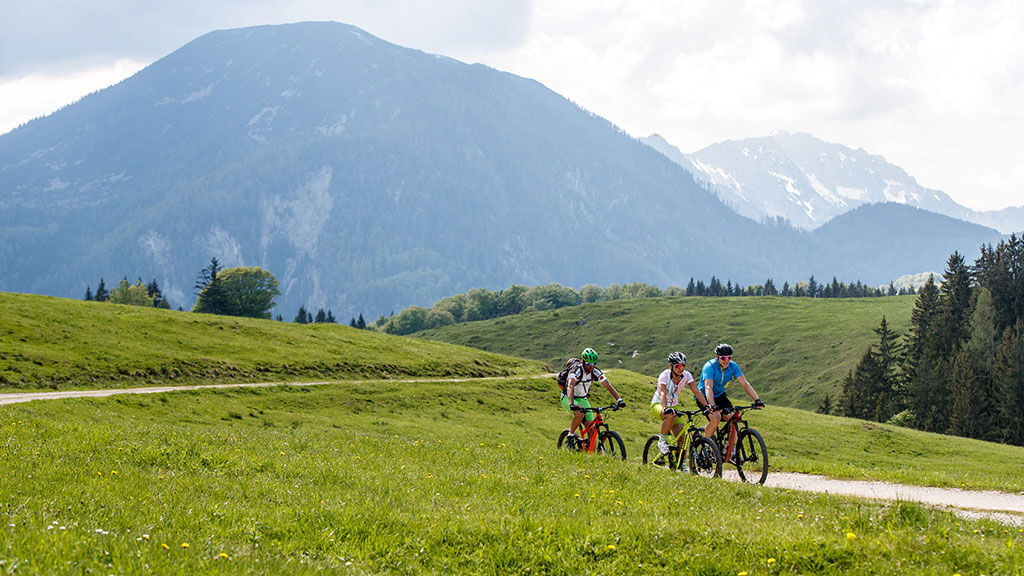
Without a doubt, the Hintergebirgsrunde is one of the most beautiful cycling routes in all of Europe. A large part of the route runs along the former route of the Waldbahn, which passed through the Hintergebirge for the last time in 1971. The flat gravel path along the Great Brook leads leisurely into the heart of the national park. From the parking lot Anzenbach to the Klaushütte, the route is also well suited for families with children because of the low gradient!
Translated with www.DeepL.com/Translator (free version)
- Moeilijkheid
-
gemakkelijk
- Waardering
-
- Route
-
ReichramingReichraming0,7 kmGroße Klause14,3 kmSchleierfall19,4 kmWeißwasser23,7 kmHirschkogelsattel (882 m)26,4 kmBrunnbachstadl31,9 kmBrunnbach (522 m)32,2 kmReichraming44,6 kmReichraming45,2 km
- Beste seizoen
-
janfebmrtaprmeijunjulaugsepoktnovdec
- Maximale hoogte
- 877 m
- Hoogteprofiel
-


- Auteur
-
De rondleiding Hintergebirgsrunde over the Hirschkogel mountain wordt gebruikt door outdooractive.com op.
GPS Downloads


Algemene info
Verfrissingsstop
Meer rondleidingen in de regio's