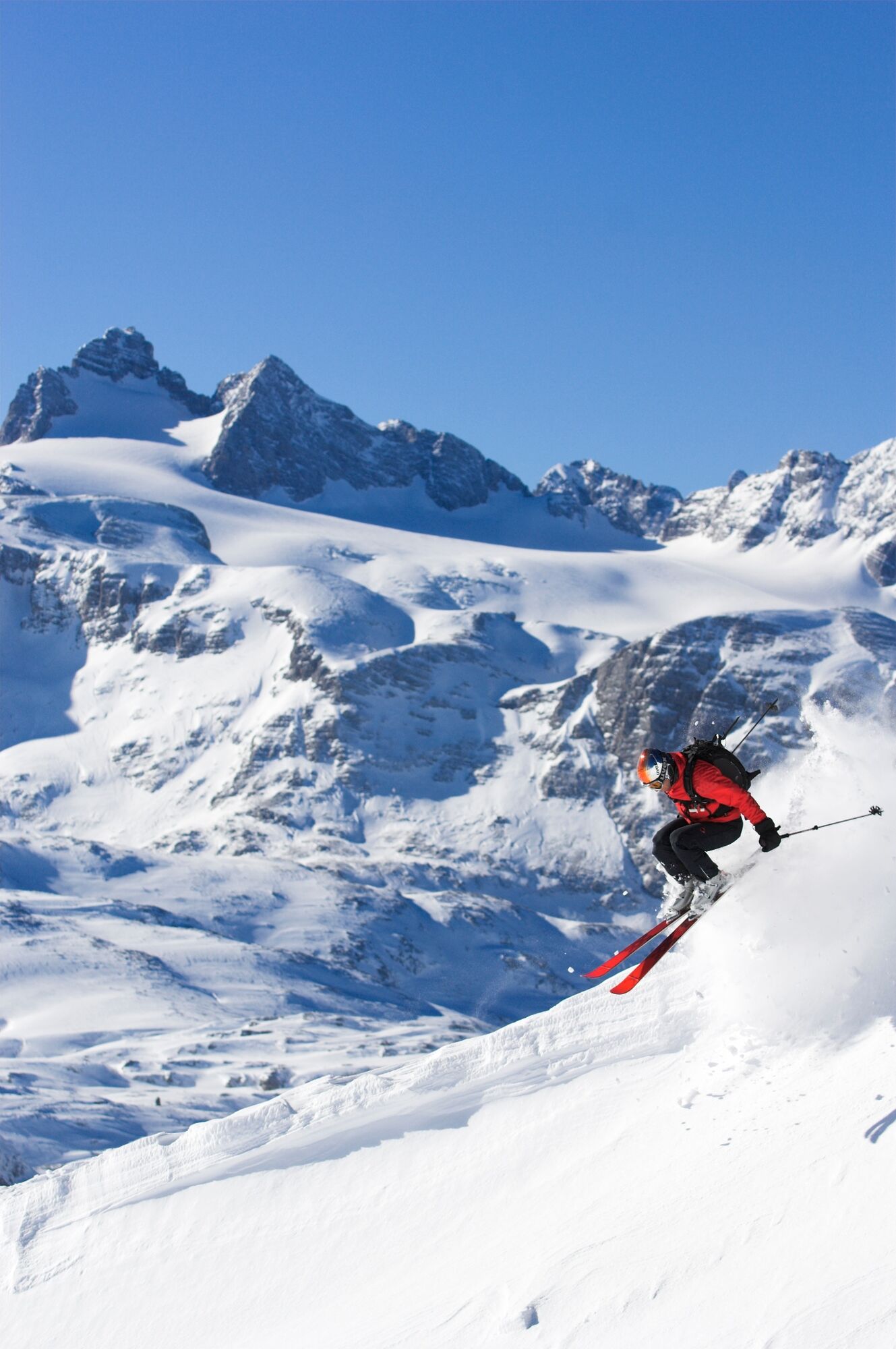
© OOE Tourismus-Himsl

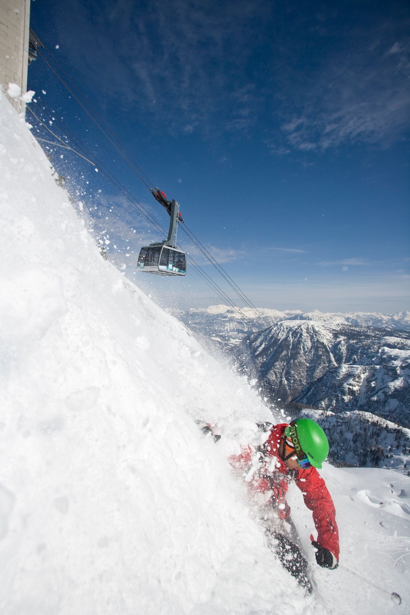
© OOE Tourismus-Erber

© OOE Tourismus-Himsl

- Korte beschrijving
-
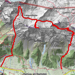
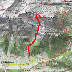
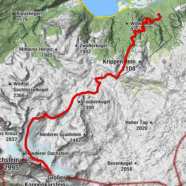
Dachstein crossing
A 25 km long route leads from the Dachstein summit region via the Simonyhütte and the Gjaidalm to Obertraun. - Moeilijkheid
-
zwaar
- Waardering
-
- Route
-
Gjaid Alm10,2 kmOlympiahütte (1.552 m)12,3 kmKrippenbrunn (1.552 m)12,4 kmHanzinger Hütte13,7 km
- Beste seizoen
-
augsepoktnovdecjanfebmrtaprmeijunjul
- Maximale hoogte
- 2.719 m
- Hoogteprofiel
-

- Auteur
-
De rondleiding Dachstein crossing wordt gebruikt door outdooractive.com op.
GPS Downloads


Meer rondleidingen in de regio's


")