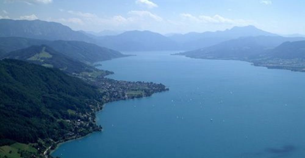
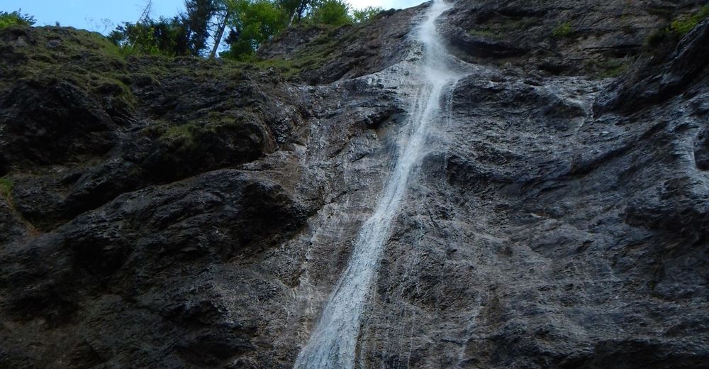
© Barbara Schachl
Toerdatums
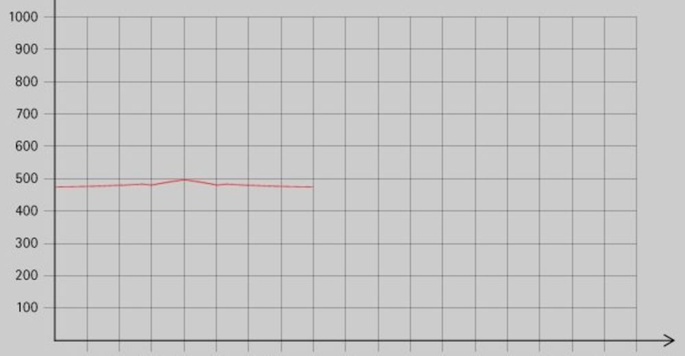
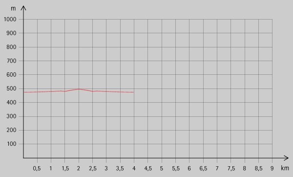
1,88km
475
- 610m
123hm
01:00h
- Korte beschrijving
-
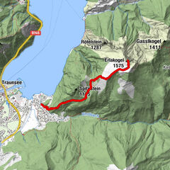
Wanderweg Nr. 10, 10b
- Waardering
-
- Startpunt
-
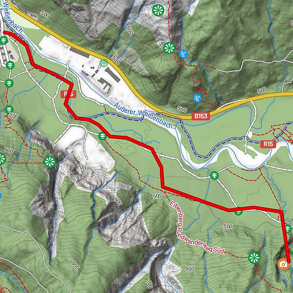
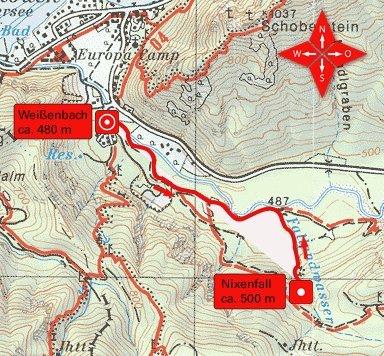
Fachbergbrücke, Weißenbach
- Route
-
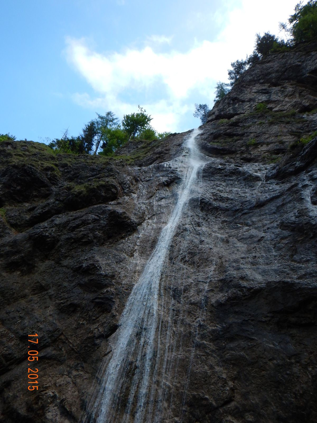
Waldsiedlung0,0 kmNixenfall1,8 km
- Maximale hoogte
- 610 m
- Rust/Retraite
-
KEINE - Proviant mitnehmen!
- Kaartmateriaal
GPS Downloads


Condities van het pad
Asfalt
Steenslag
Weide
Bos
Rots
Moeilijk
Meer rondleidingen in de regio's