

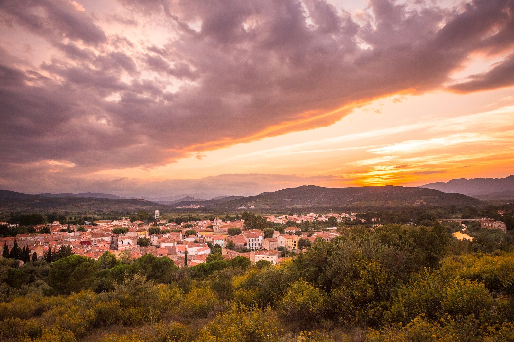
© Perpignan Méditerranée Tourisme - ©Lionel Moogin - Agly-Verdouble

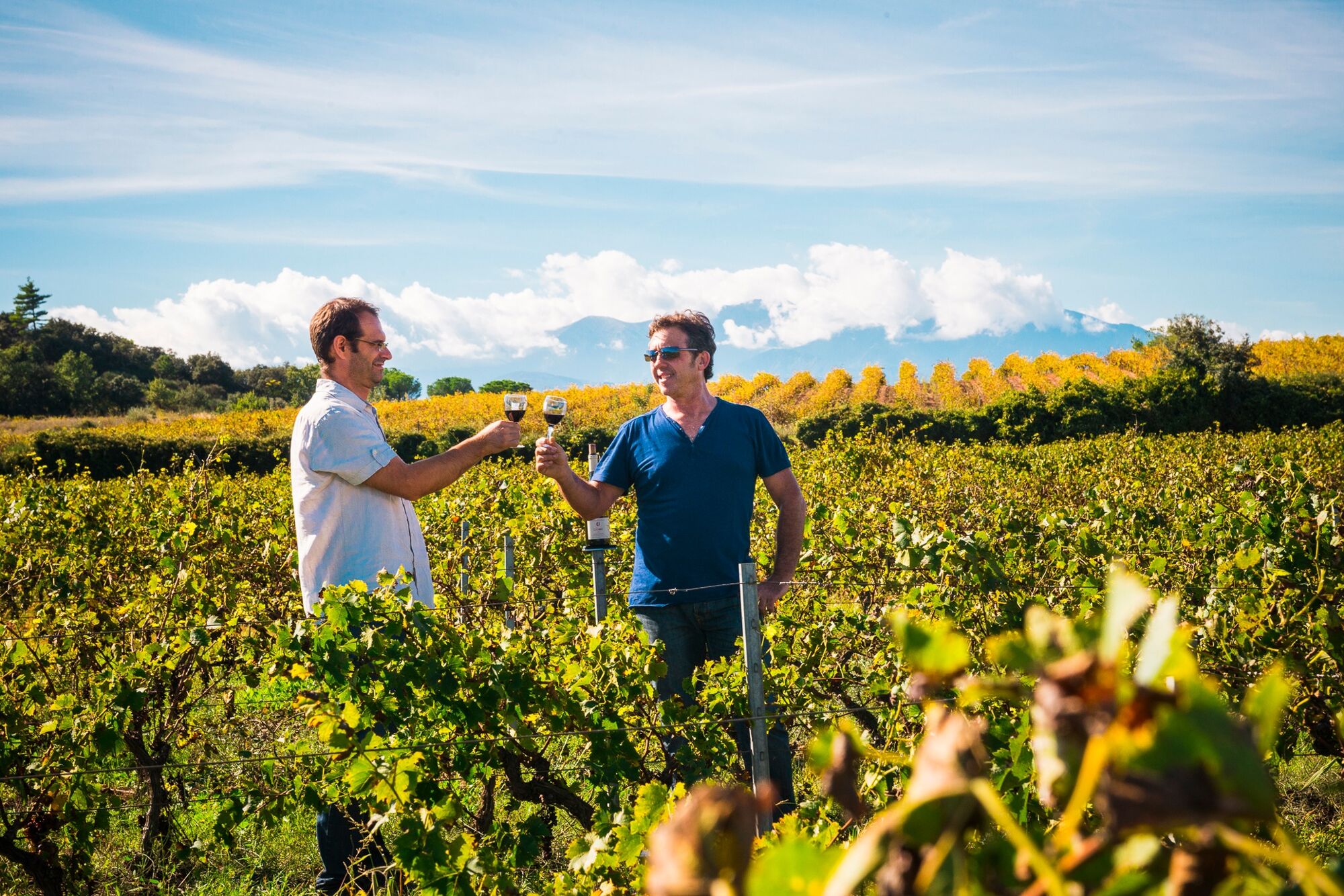
© Perpignan Méditerranée Tourisme - Lionel Moogin-www.pholio-m.com/Agly-Verdouble

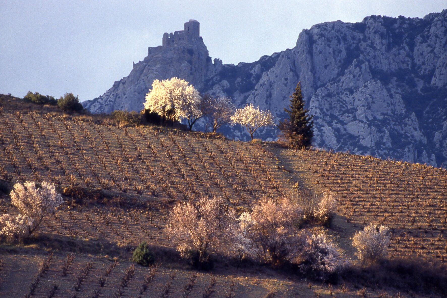
© Perpignan Méditerranée Tourisme - ©Maurice Ségiué

© Perpignan Méditerranée Tourisme - ©Lionel Moogin - Agly-Verdouble

© Unbekannt - Lionel Moogin www.pholio-m.com
- Korte beschrijving
-
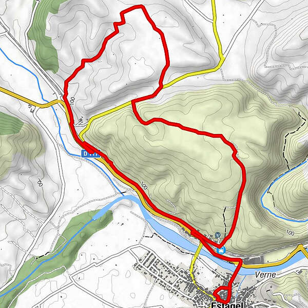
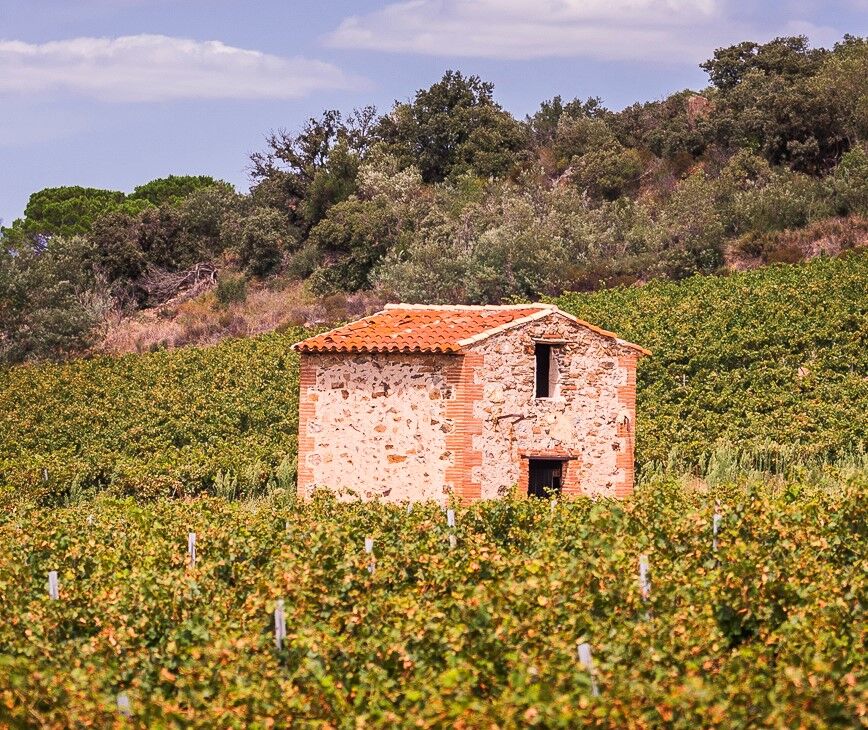
The village of Estagel is at the crossroads of two different regions, the threshold between the Corbières and the Fenouillèdes, the last high relief before going down into the Roussillon. The southern flank of the Monts d’Estagel are uncultivated land. These mountains overlook the Tautavel basin to the north. This trail is short tour of a dense garrigue (scrubland) and plots of vines.
- Moeilijkheid
-
medium
- Waardering
-
- Route
-
EstagelÉglise Saint-Étienne et Saint-Vincent0,0 kmEstagel7,6 kmEstagel8,7 kmLe Commerce8,8 km
- Beste seizoen
-
janfebmrtaprmeijunjulaugsepoktnovdec
- Maximale hoogte
- 183 m
- Bestemming
-
Estagel
- Hoogteprofiel
-
 © outdooractive.com

-

-
AuteurDe rondleiding Circuit VTT : Les Monts d’Estagel - ESTAGEL wordt gebruikt door outdooractive.com op.
GPS Downloads


Algemene info
Verfrissingsstop
Tip voor insiders
Flora
Fauna
Veelbelovend
Meer rondleidingen in de regio's