
- Korte beschrijving
-
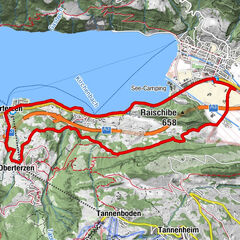
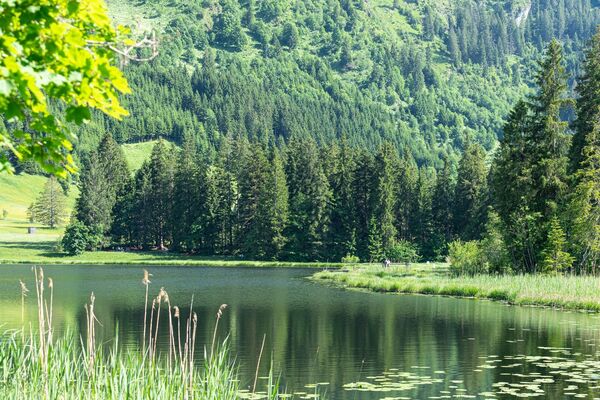
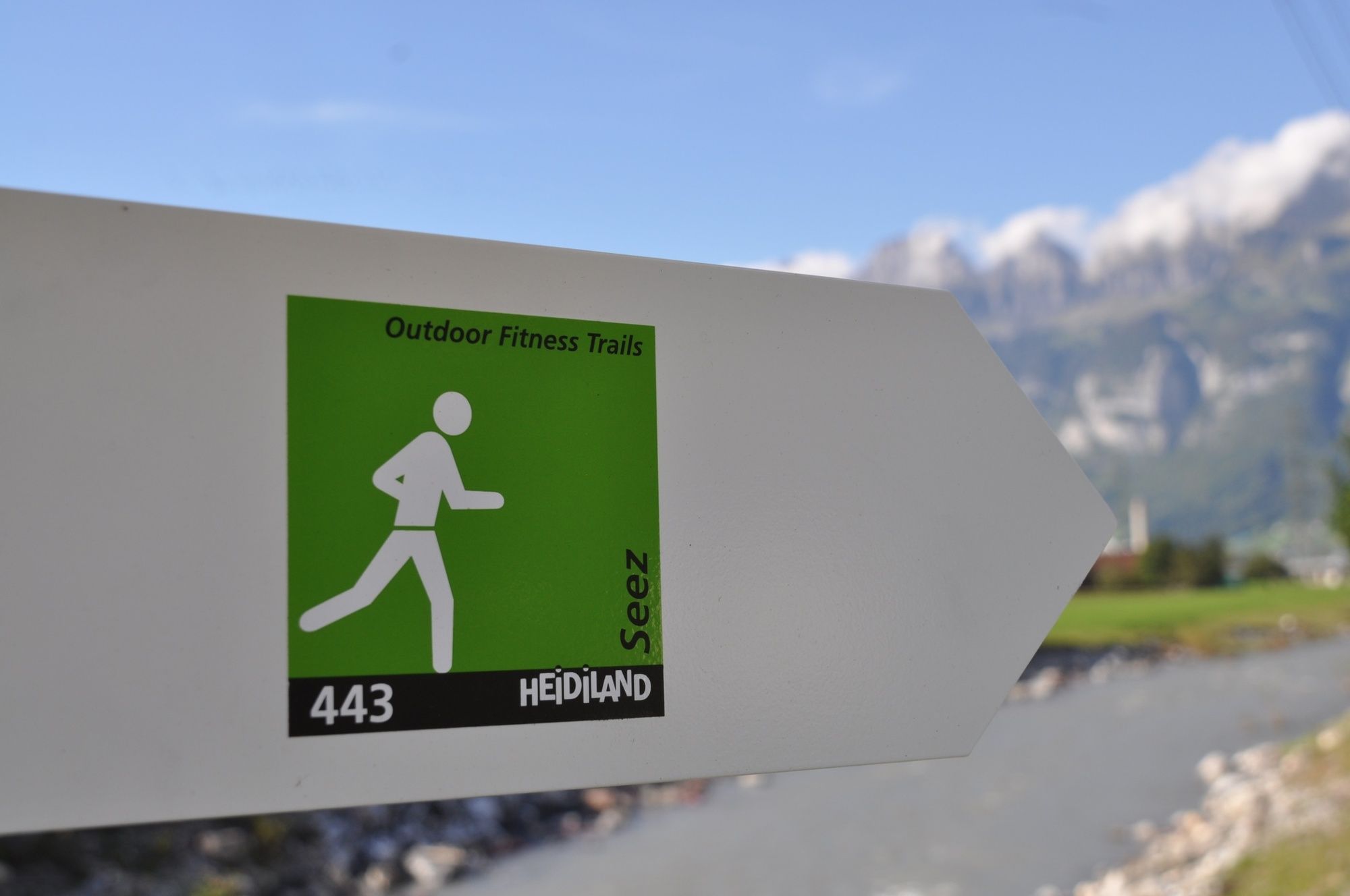
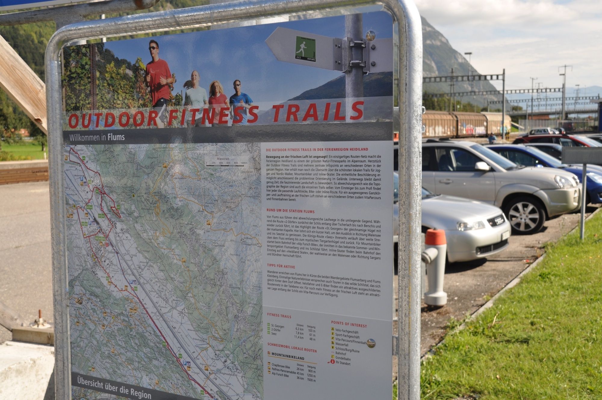
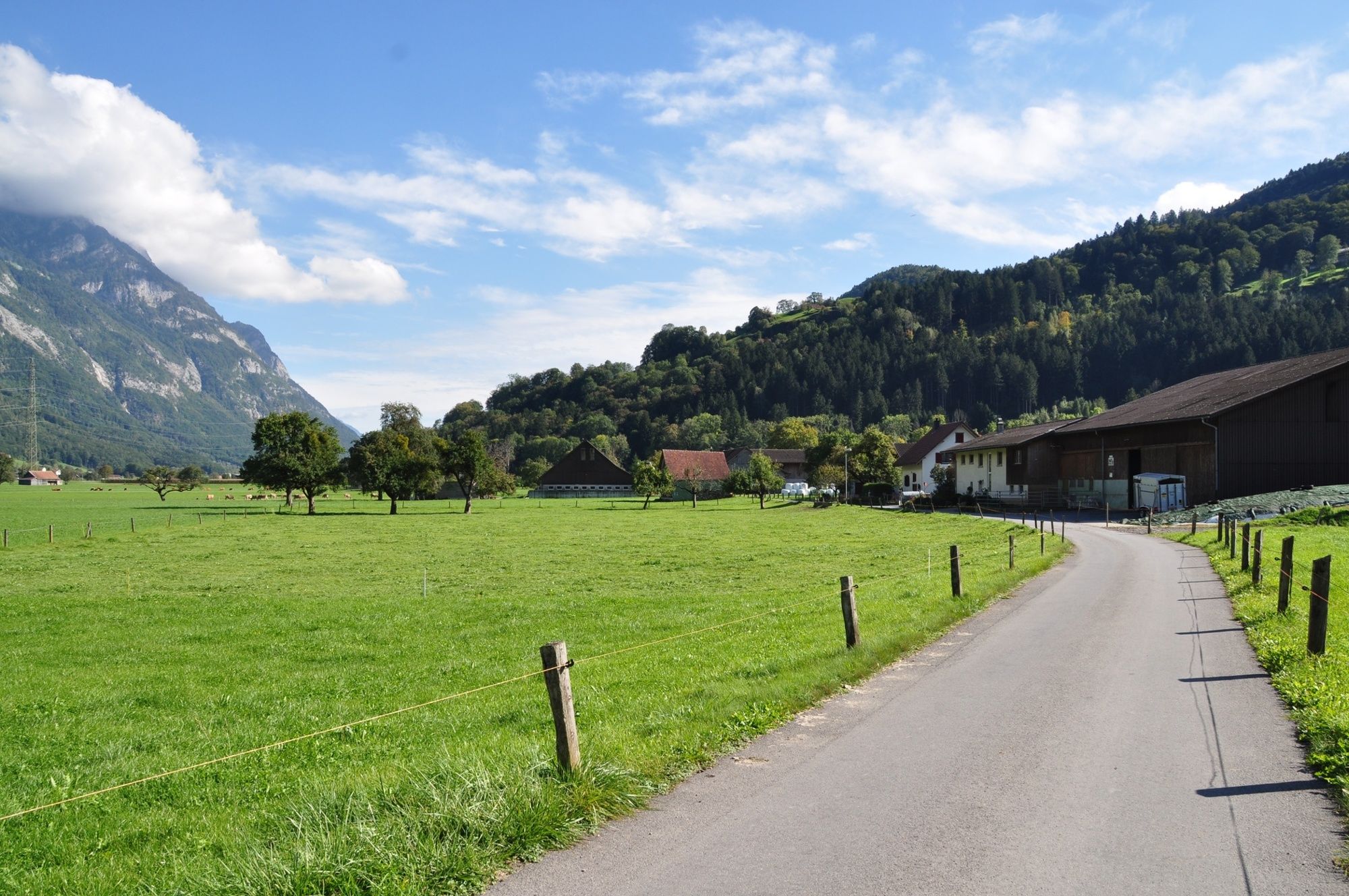
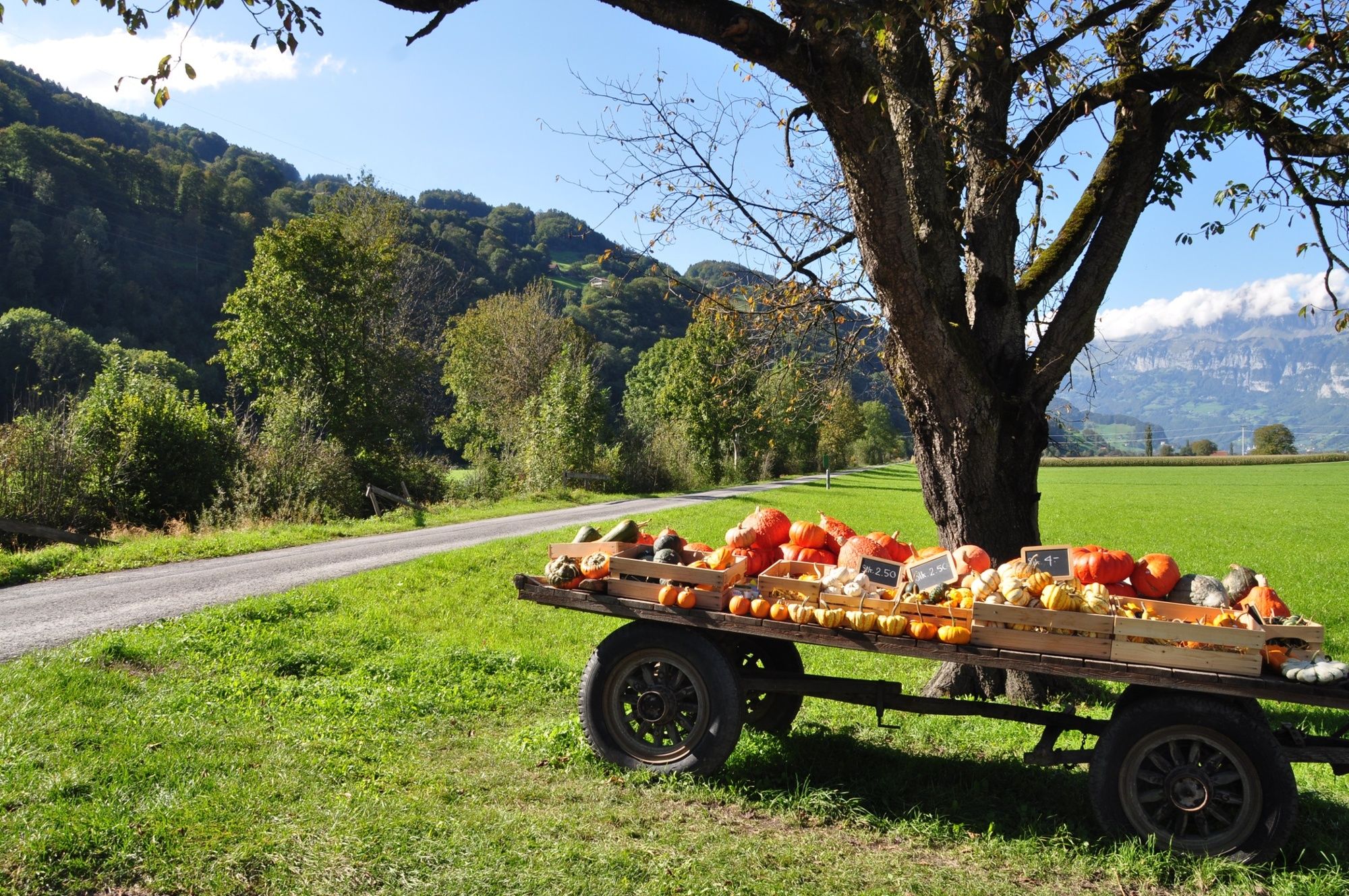
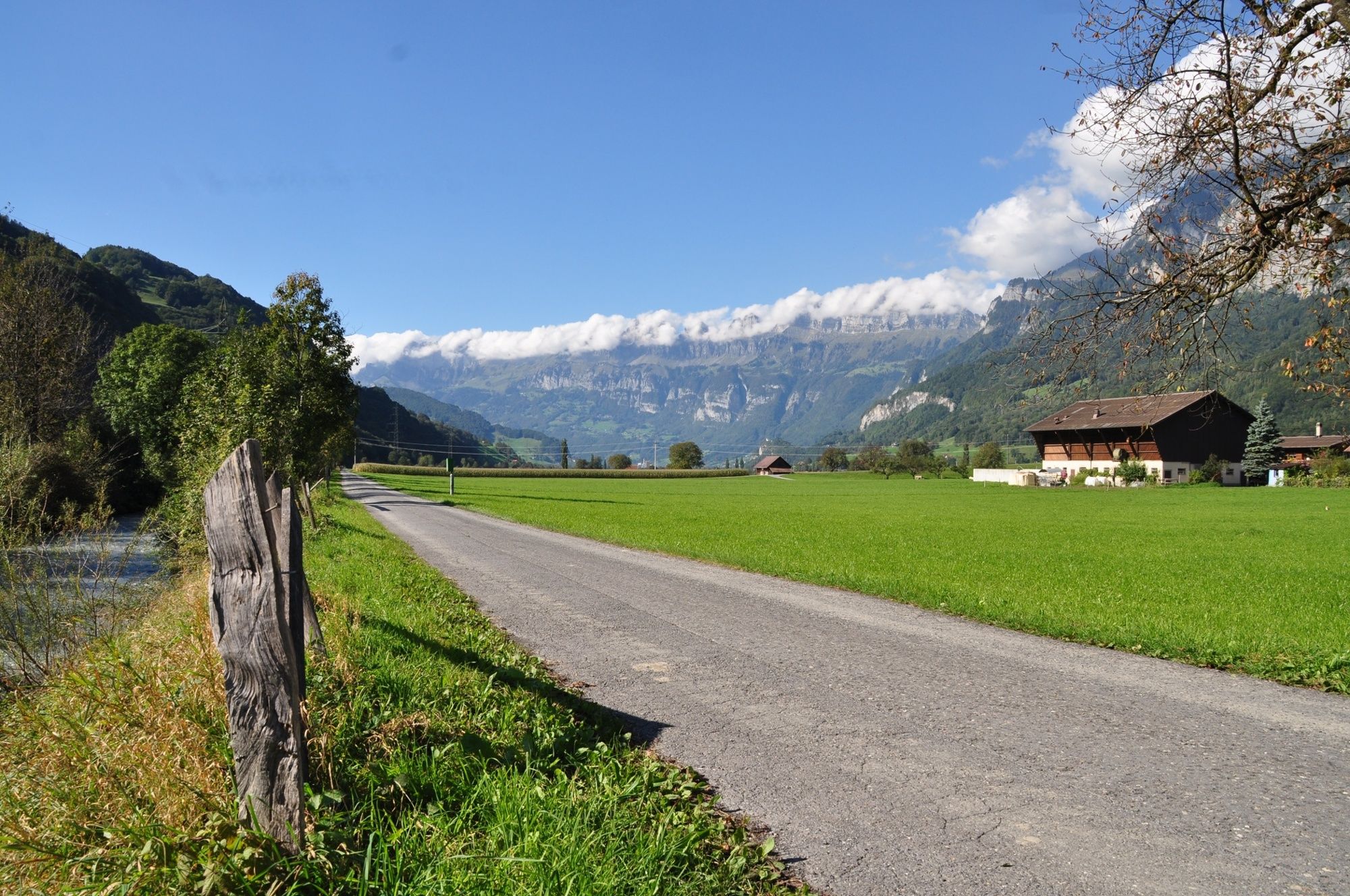
Up the Seez - down the Seez. This is the short version. But the Seez-Trail offers much more: a wonderful view of the Churfirsten, lush meadows and pastures and a lot of nature.
- Moeilijkheid
-
medium
- Waardering
-
- Route
-
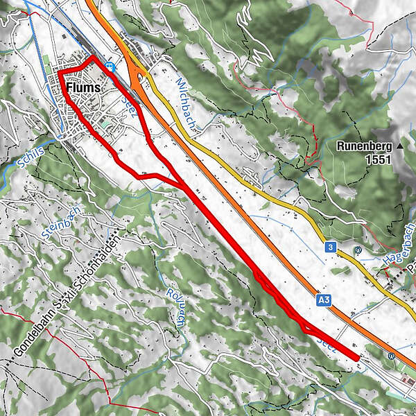
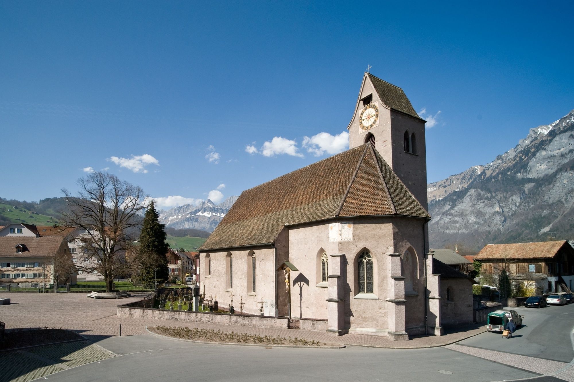
Rocki Docki Pub & Pizzeria0,0 kmBüntli0,1 kmFlums (456 m)1,1 kmKatholische Kirche St. Laurentius1,6 kmSt. Justuskapelle10,0 kmRocki Docki Pub & Pizzeria11,0 kmBüntli11,0 kmFlums (456 m)11,0 km
- Beste seizoen
-
janfebmrtaprmeijunjulaugsepoktnovdec
- Maximale hoogte
- 466 m
- Bestemming
-
Flums, Infopoint der Station Flums
- Hoogteprofiel
-
 © outdooractive.com


- Auteur
-
De rondleiding Seez trail 443 wordt gebruikt door outdooractive.com op.
GPS Downloads


Algemene info
Verfrissingsstop
Meer rondleidingen in de regio's
-
Heidiland
49
-
Heidiland / Graubünden
40
-
Flums
16