- Korte beschrijving
-
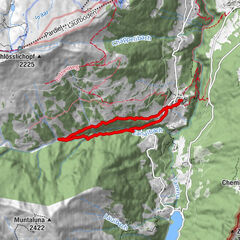
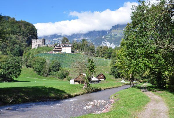
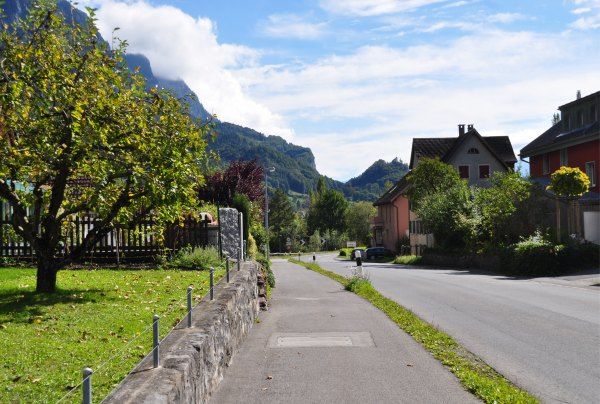
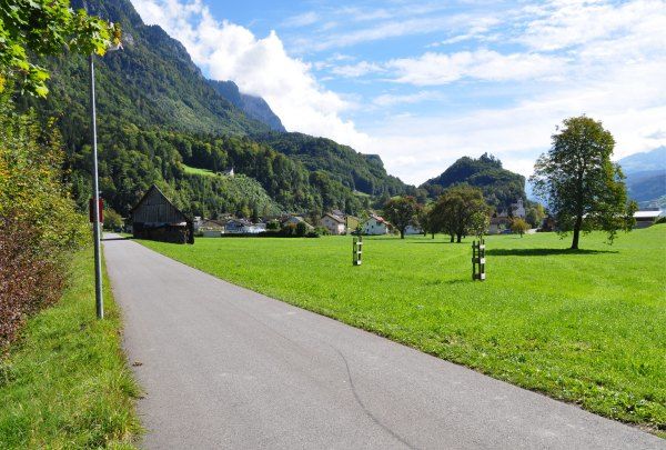
The Seez, the Schils and the Tscherlerbach: water is your constant companion on the 2 villages trail. Further companions on the tour are the impressive Churfirsten and the chapel of St. Georgen, enthroned high above Bersisch.
- Moeilijkheid
-
medium
- Waardering
-
- Route
-
Rocki Docki Pub & Pizzeria0,0 kmBüntli0,1 kmFlums (456 m)0,5 kmTscherlach4,1 kmBerschis6,0 kmLandgasthof Linde6,1 kmDorfkirche St. Eusebius6,2 kmFlums (441 m)7,5 kmRocki Docki Pub & Pizzeria7,5 kmBüntli7,6 km
- Beste seizoen
-
janfebmrtaprmeijunjulaugsepoktnovdec
- Maximale hoogte
- 452 m
- Bestemming
-
Flums, Infopoint der Station Flums
- Hoogteprofiel
-
 © outdooractive.com


- Auteur
-
De rondleiding 2 village trail 442 wordt gebruikt door outdooractive.com op.
GPS Downloads


Algemene info
Verfrissingsstop
Meer rondleidingen in de regio's
-
Heidiland
49
-
Flumserberg und Umgebung
40
-
Berschis
16