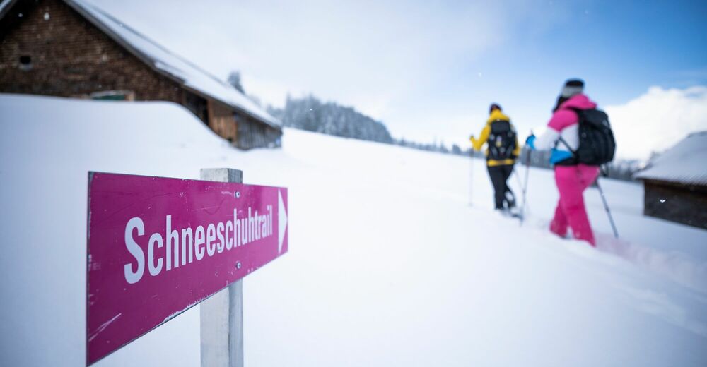
© Heidiland Tourismus - Thomas Kessler
© Heidiland Tourismus - Thomas Kessler
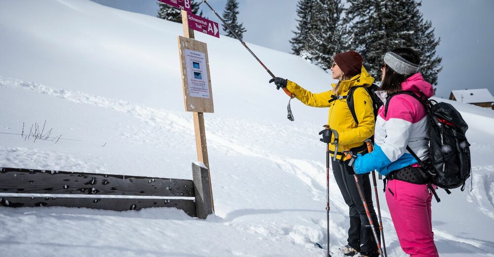
© Heidiland Tourismus - Berghotel Schönhalden
© Heidiland Tourismus - Thomas Kessler
© Heidiland Tourismus - Berghotel Schönhalden
© Heidiland Tourismus - Thomas Kessler
© Heidiland Tourismus - Berghotel Schönhalden
© Heidiland Tourismus - Berghotel Schönhalden
© Heidiland Tourismus - Thomas Kessler

- Korte beschrijving
-
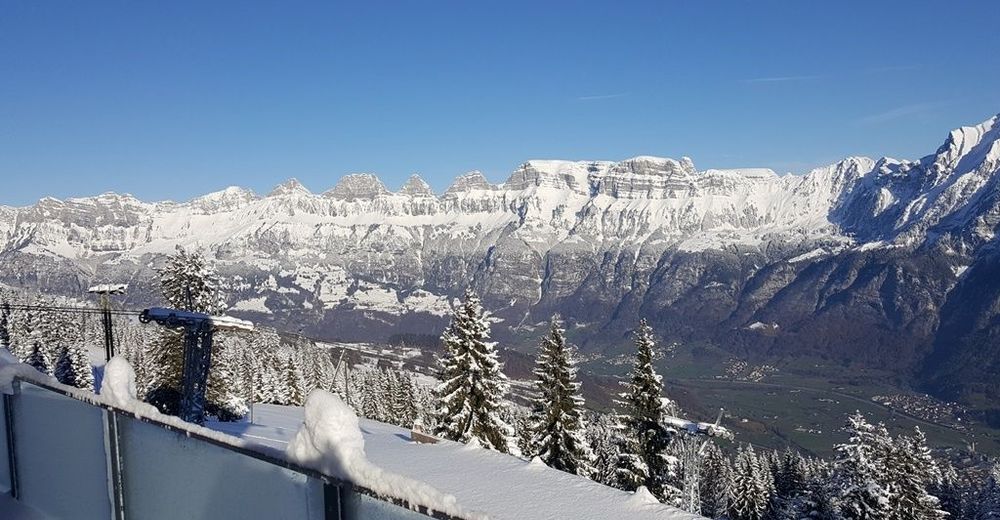
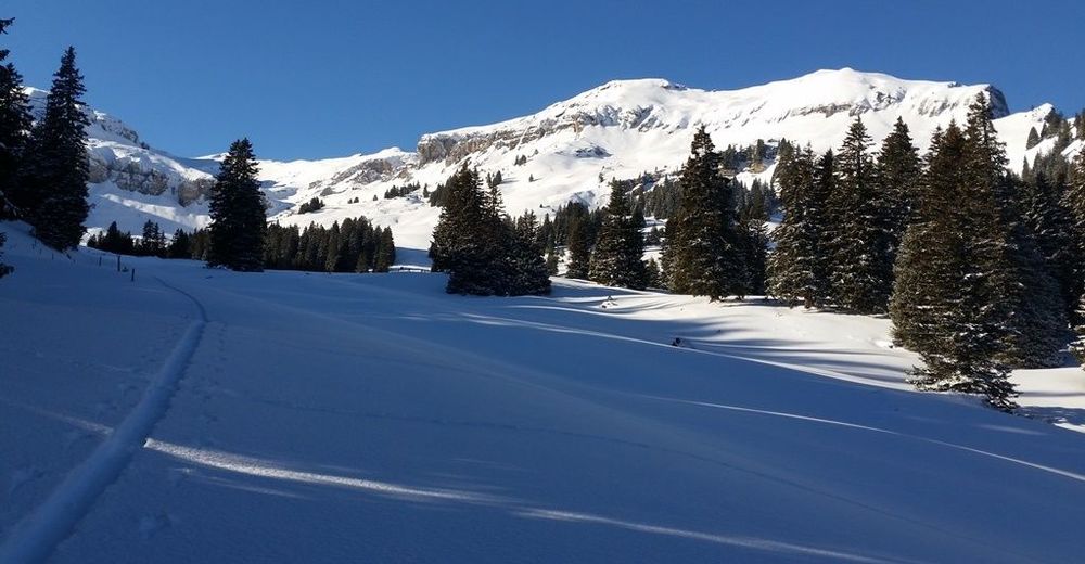
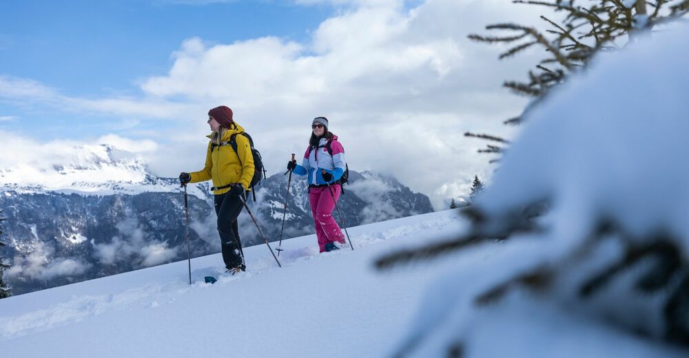
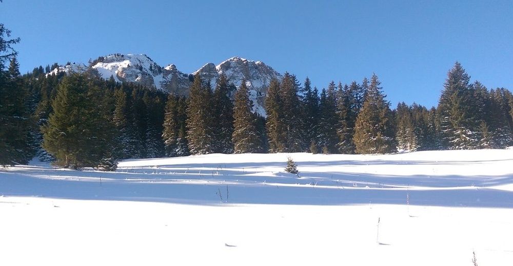
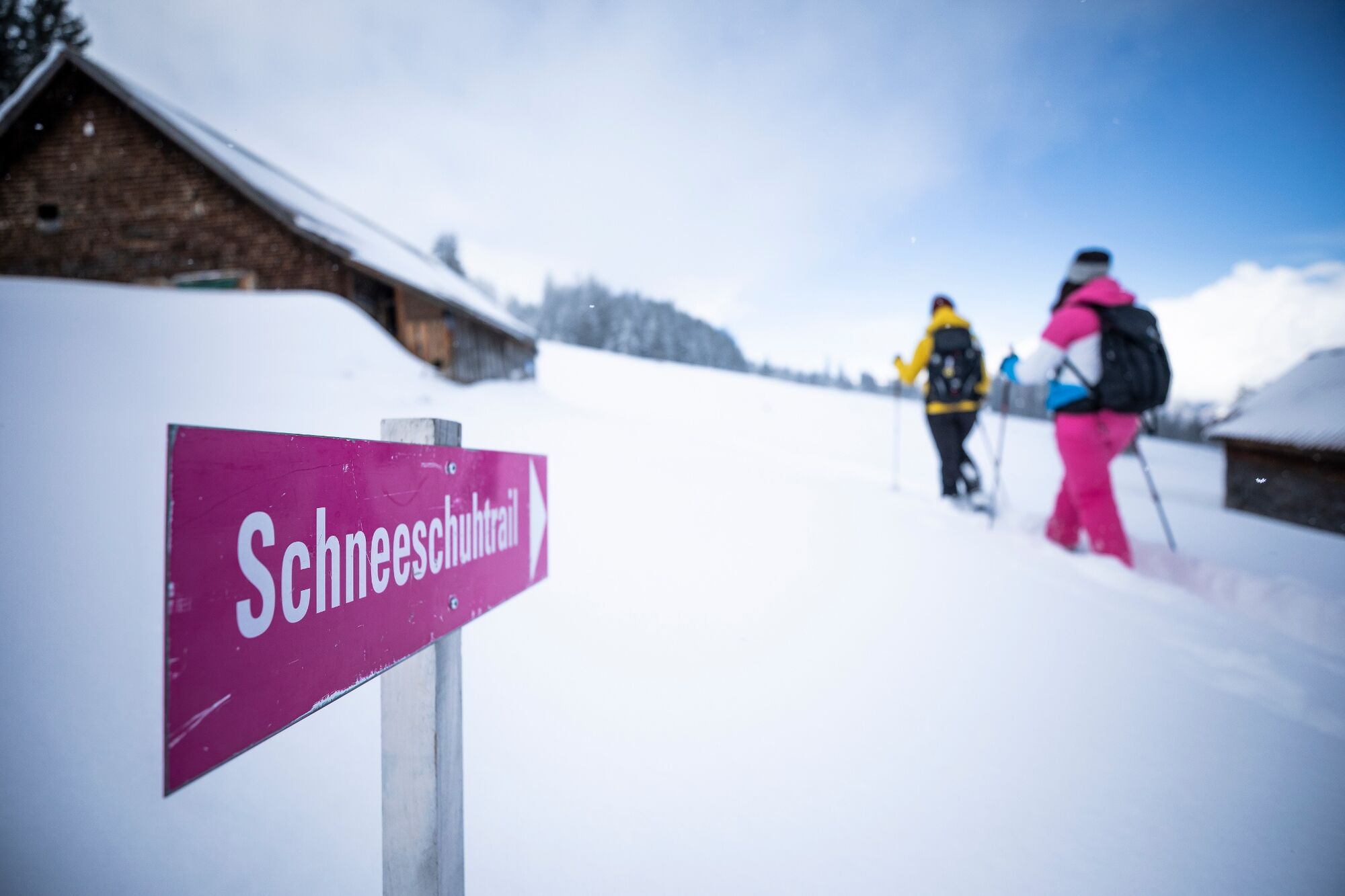
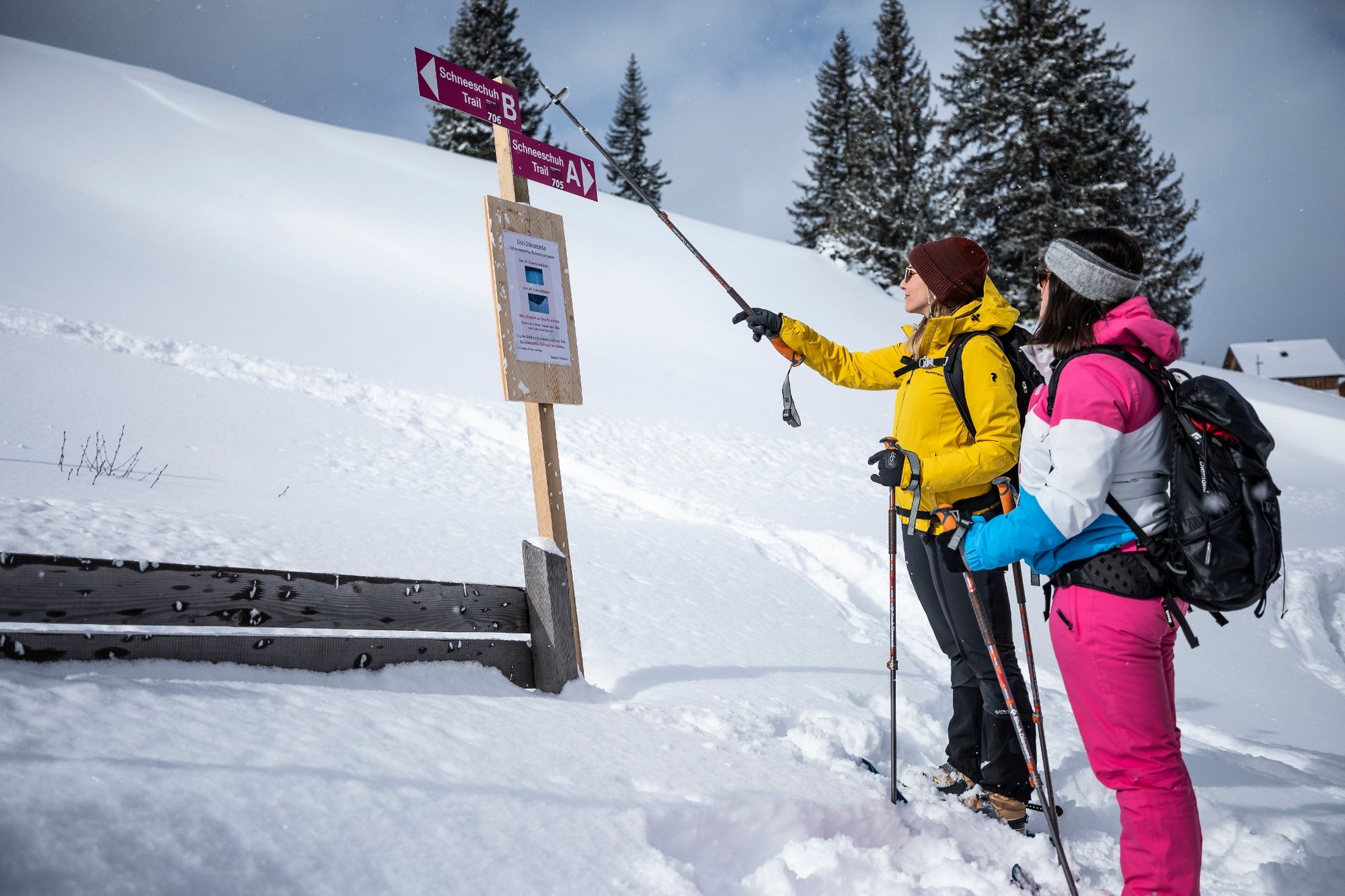
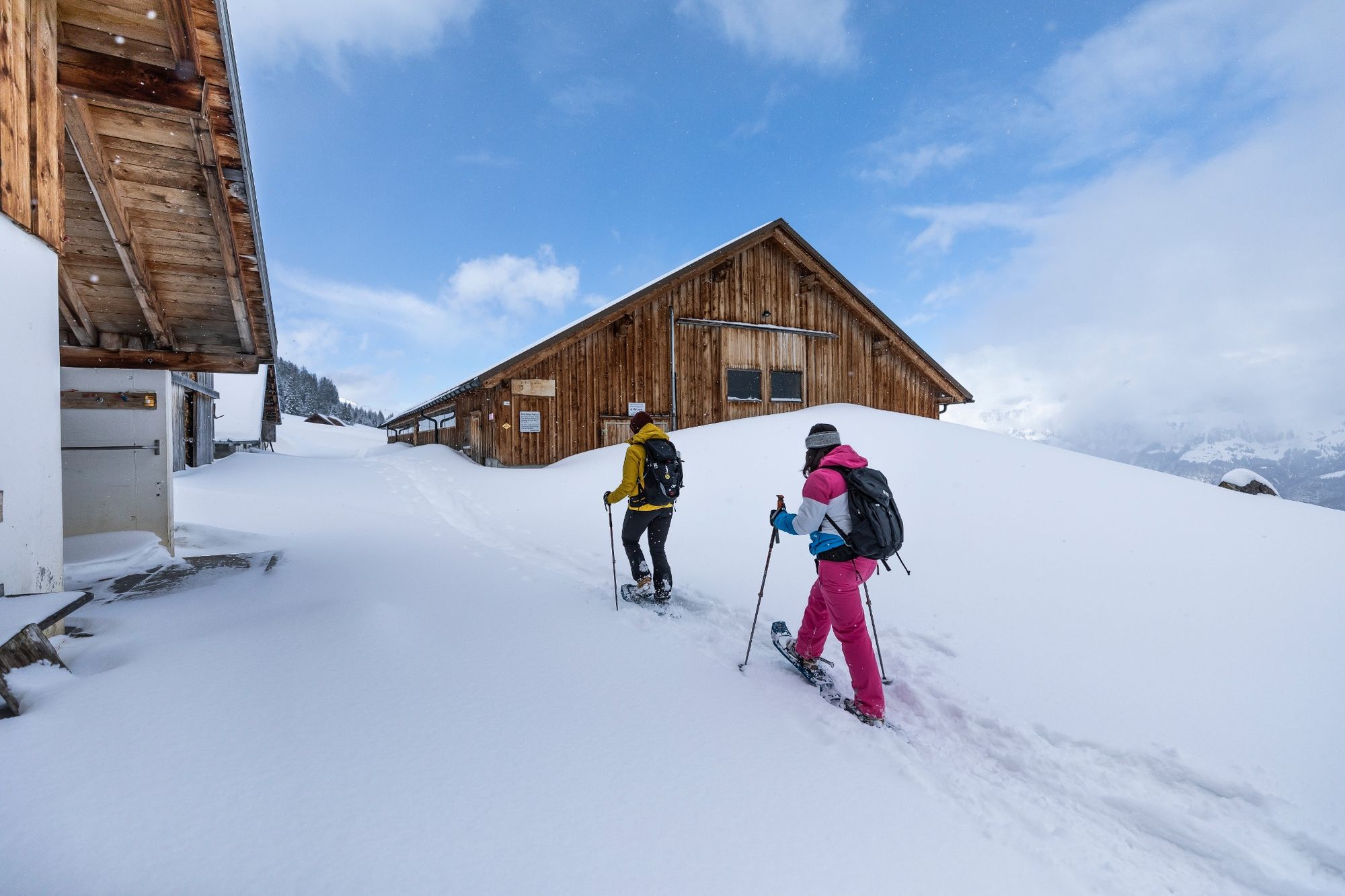
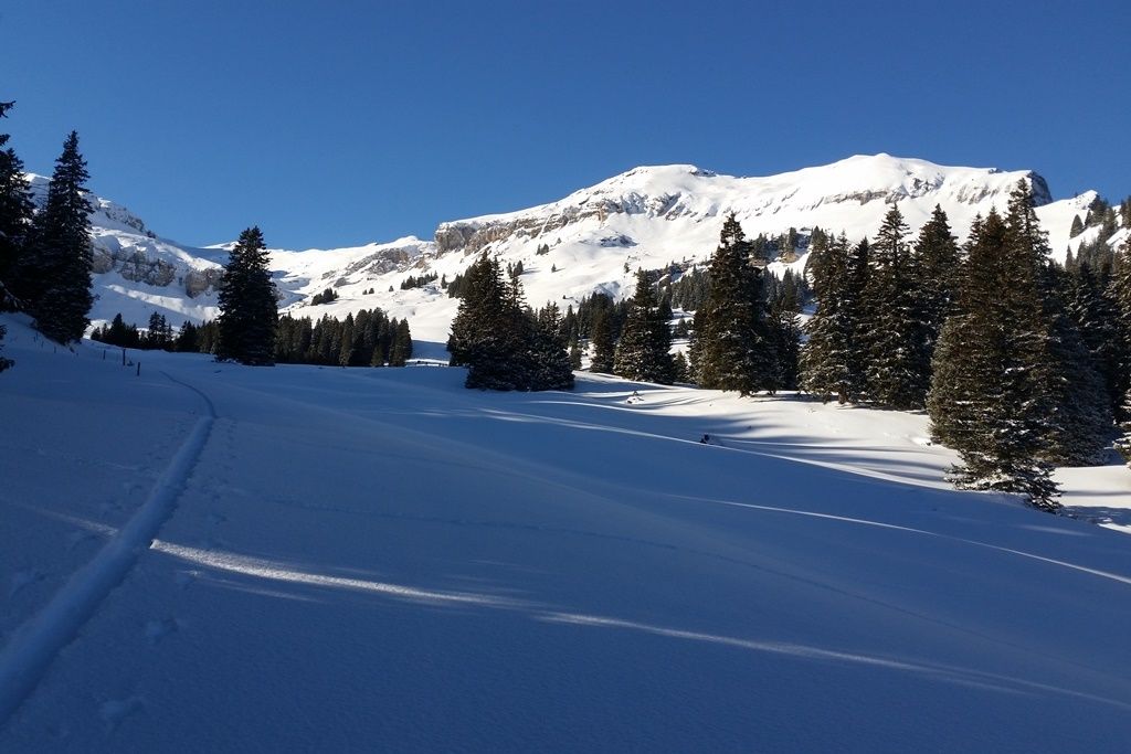
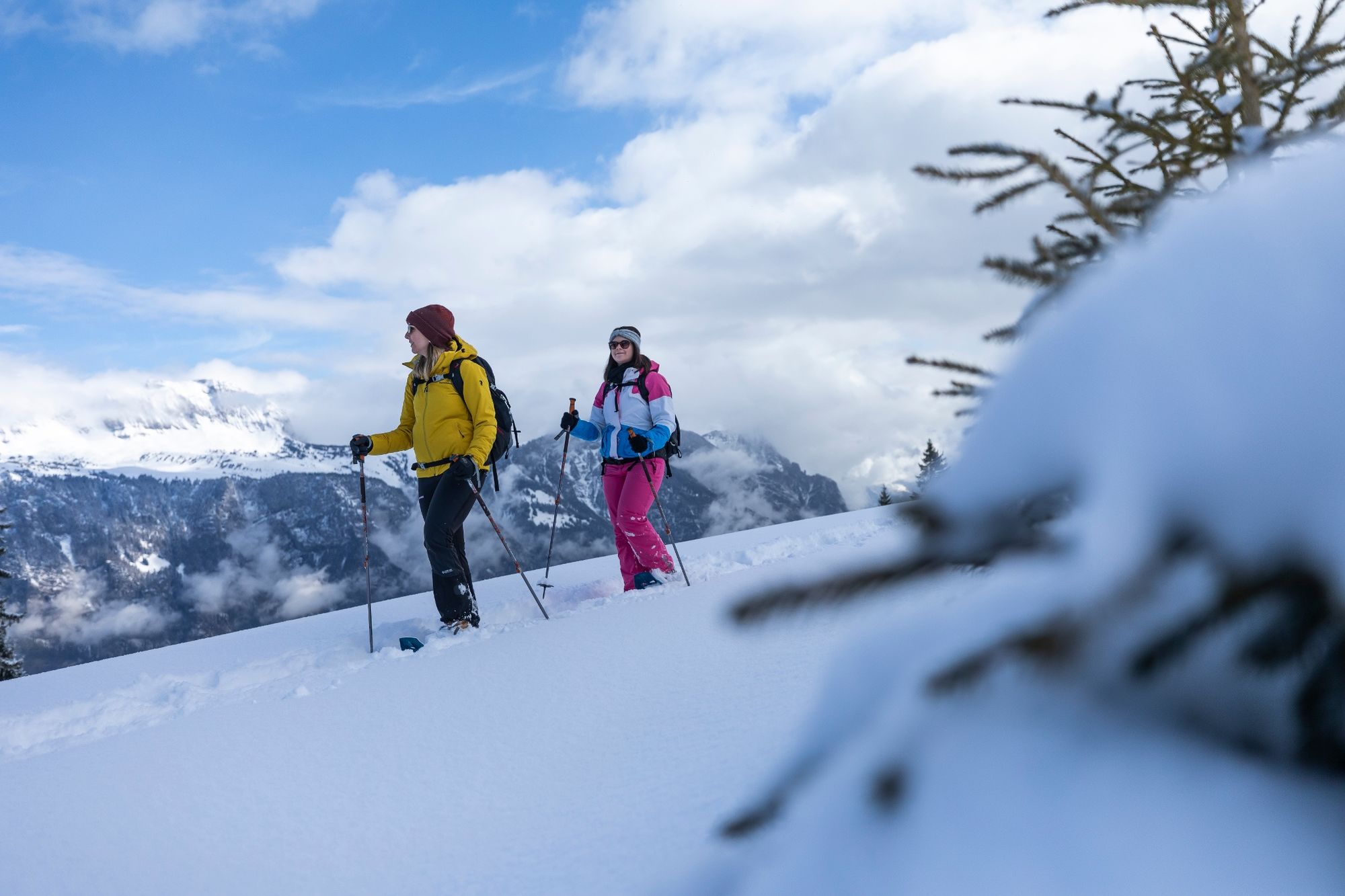
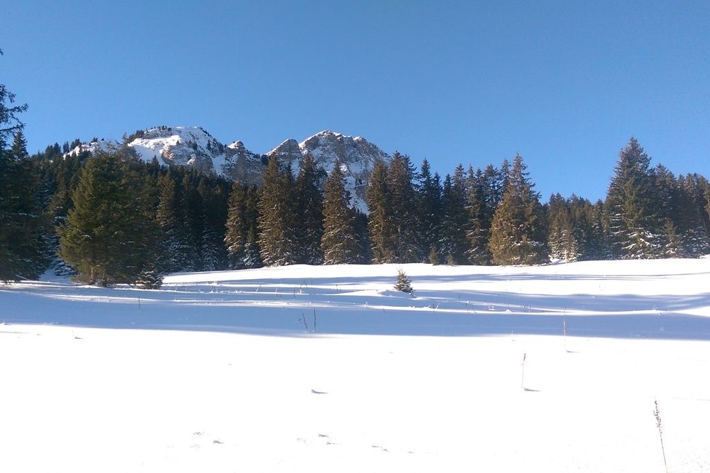
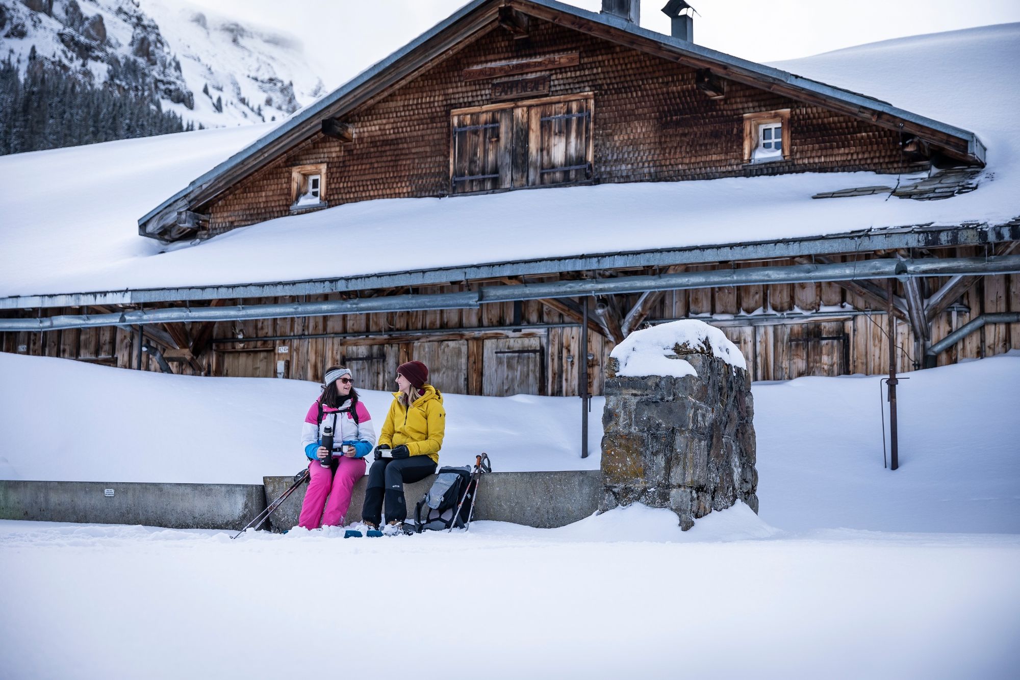
Far away from the Flumserberg bustle on the opposite side of the mountain, the trail leads up through open forest clearings into the basin of Mädems.
- Moeilijkheid
-
medium
- Waardering
-
- Beste seizoen
-
augsepoktnovdecjanfebmrtaprmeijunjul
- Maximale hoogte
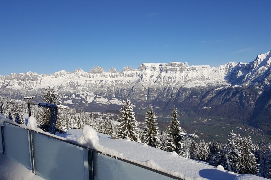
- 1.783 m
- Bestemming
-
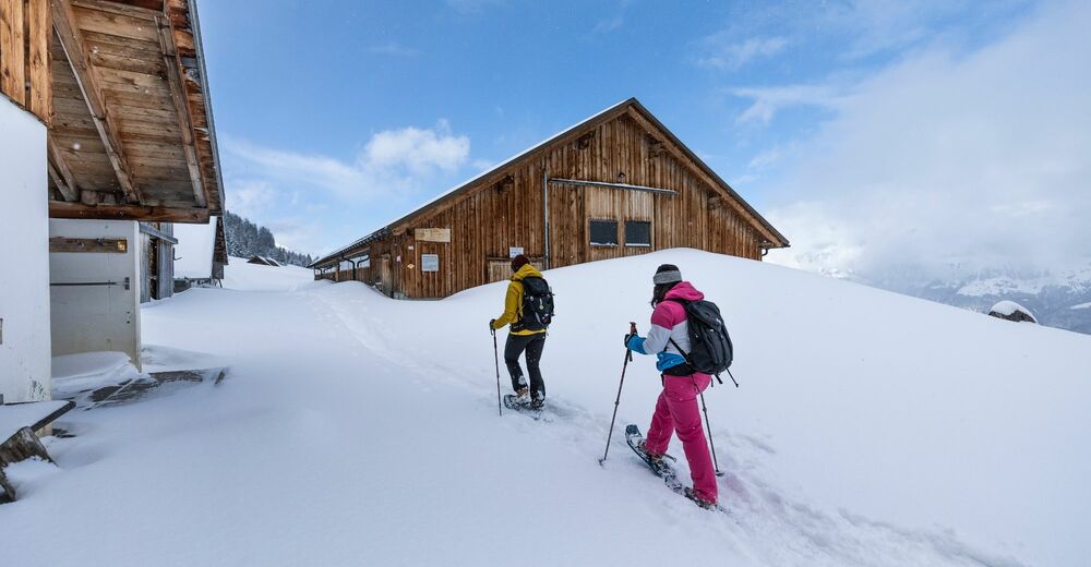
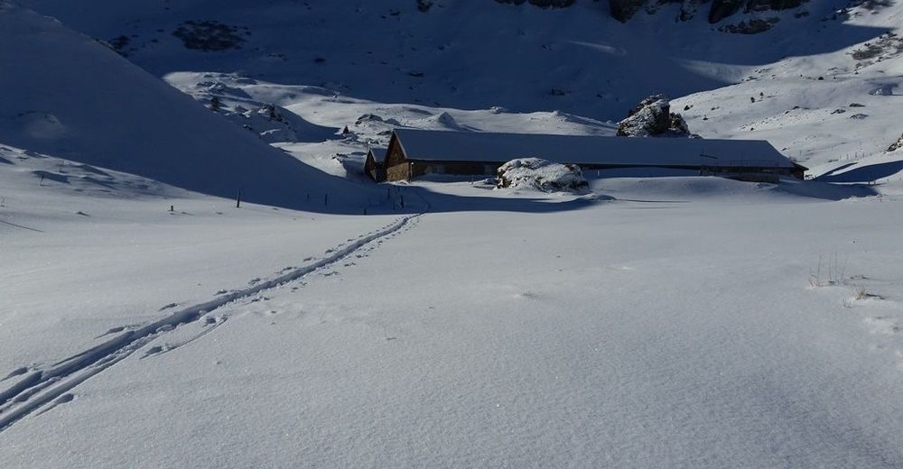
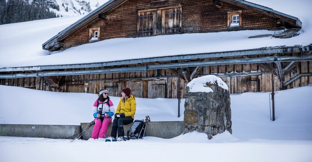
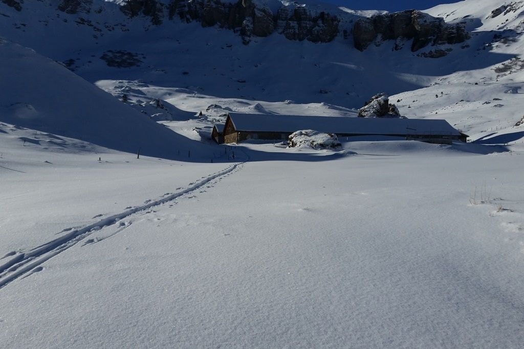
Berghotel Schönhalden
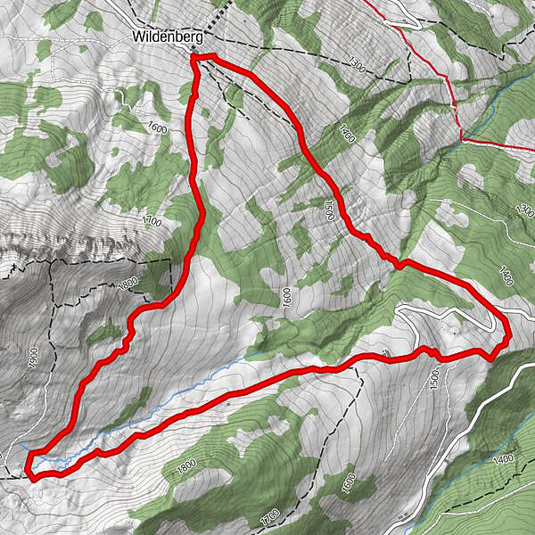
- Hoogteprofiel
-
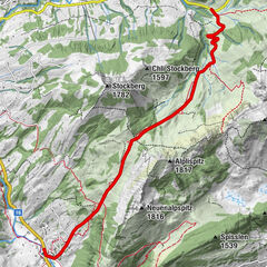
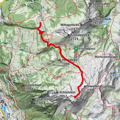
 © outdooractive.com
-

-
AuteurDe rondleiding Mädems Trail wordt gebruikt door outdooractive.com op.
GPS Downloads


Algemene info
Verfrissingsstop
Veelbelovend
Meer rondleidingen in de regio's
-
Heidiland
116
-
Flumserberg und Umgebung
42
-
Flums
18