© Appenzellerland Tourismus AR - Jolanda Spengler, Appenzeller Verlag

© Appenzellerland Tourismus AR - Jolanda Spengler, Appenzeller Verlag

© Appenzellerland Tourismus AR - Jolanda Spengler, Appenzeller Verlag
- Korte beschrijving
-
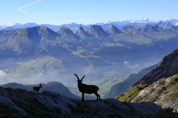
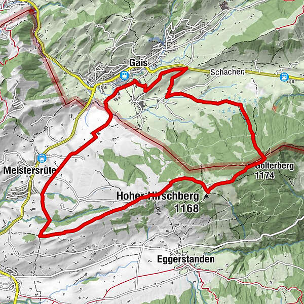
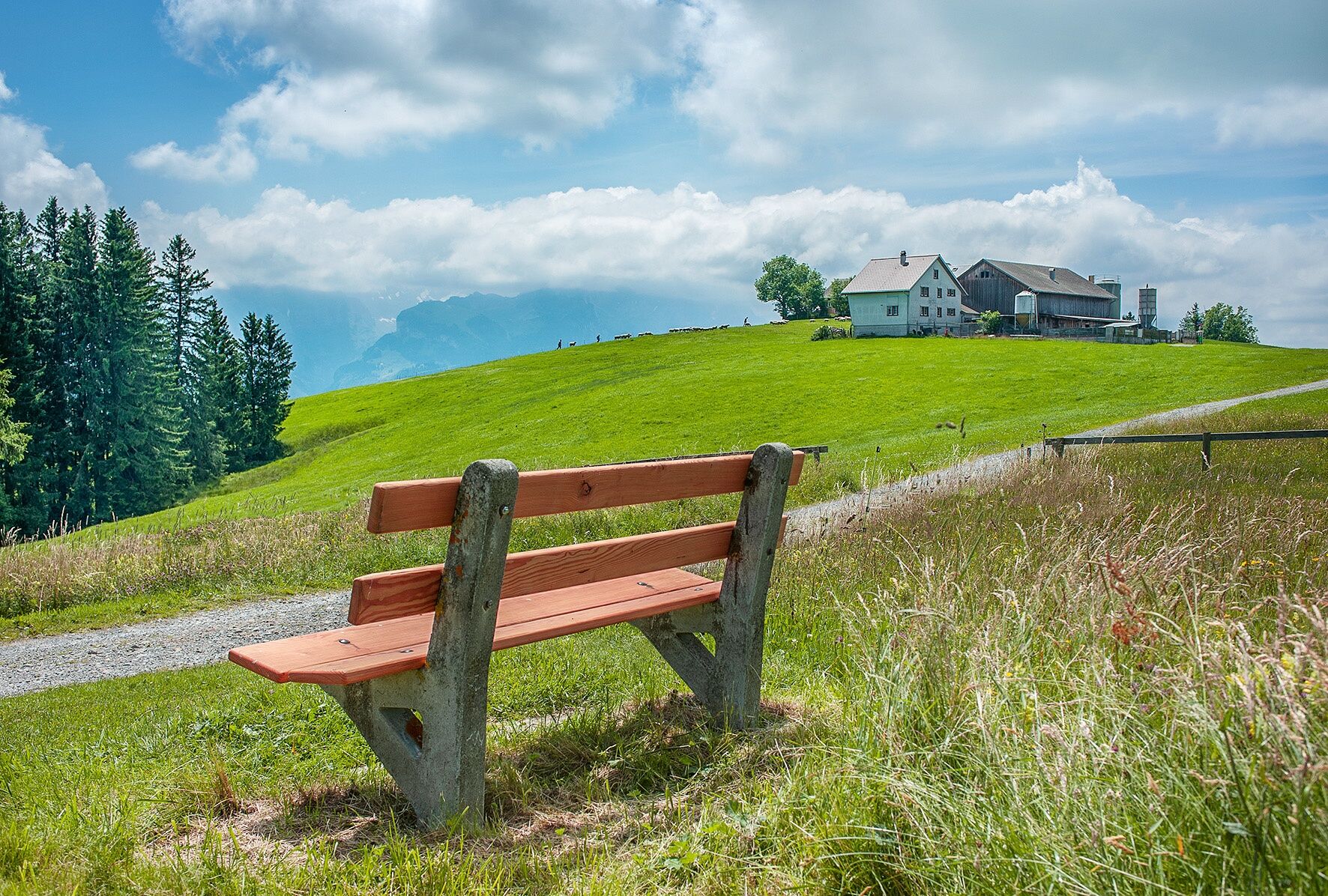
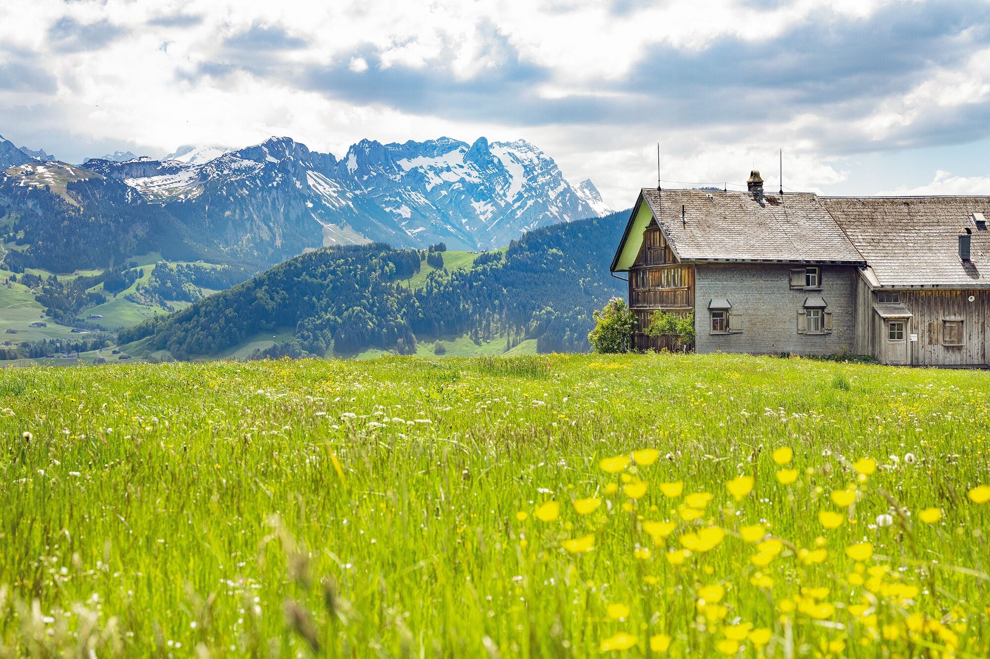
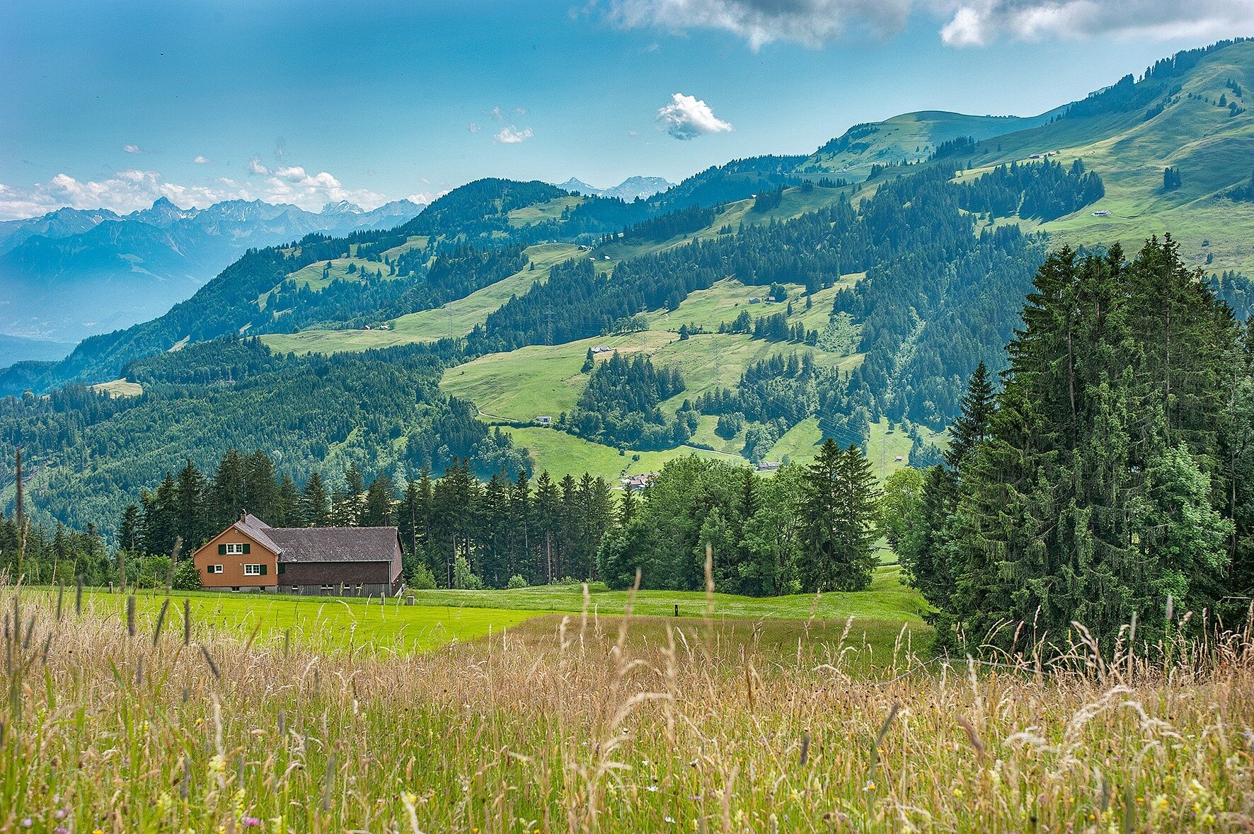
Scenic hike from Gais to the Hoher Hirschberg.
- Moeilijkheid
-
medium
- Waardering
-
- Route
-
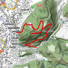
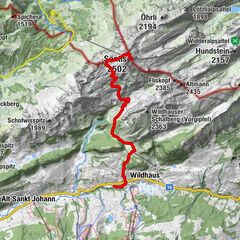
Gais (933 m)Golterberg (1.174 m)4,5 kmHoher Hirschberg5,5 kmHütten7,0 kmSt. Ottilia8,9 kmAppenzell Meistersrüte9,7 kmGais (933 m)12,3 km
- Beste seizoen
-
janfebmrtaprmeijunjulaugsepoktnovdec
- Maximale hoogte
- 1.167 m
- Bestemming
-
Gais railway station
- Hoogteprofiel
-
 © outdooractive.com
- Auteur
-
De rondleiding Panoramic views from the Hoher Hirschberg wordt gebruikt door outdooractive.com op.
GPS Downloads


Meer rondleidingen in de regio's
-
Appenzellerland
1957
-
Appenzell Innerrhoden
997
-
Gais
336