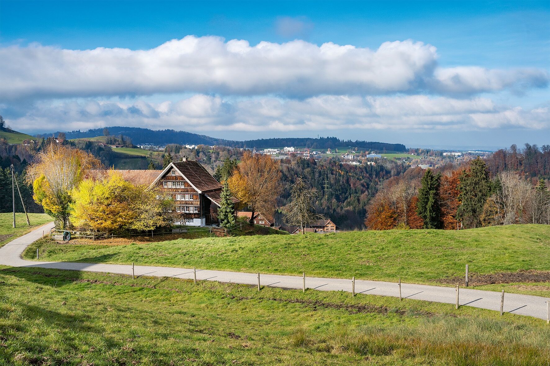
© Appenzeller Magazin - Jolanda Spengler

© Appenzeller Magazin - Jolanda Spengler

© Appenzeller Magazin - Jolanda Spengler
- Korte beschrijving
-
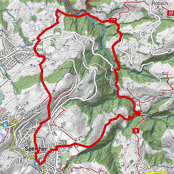
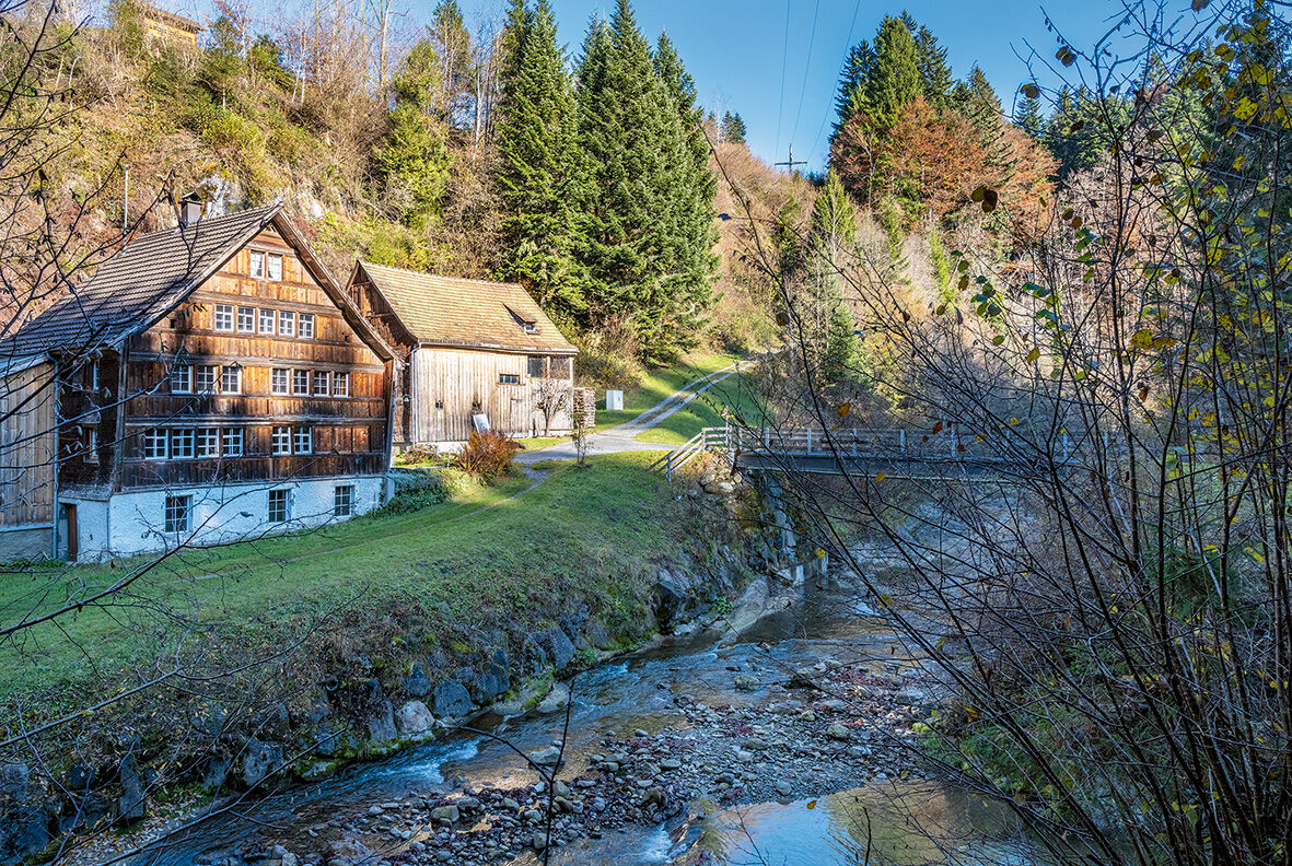
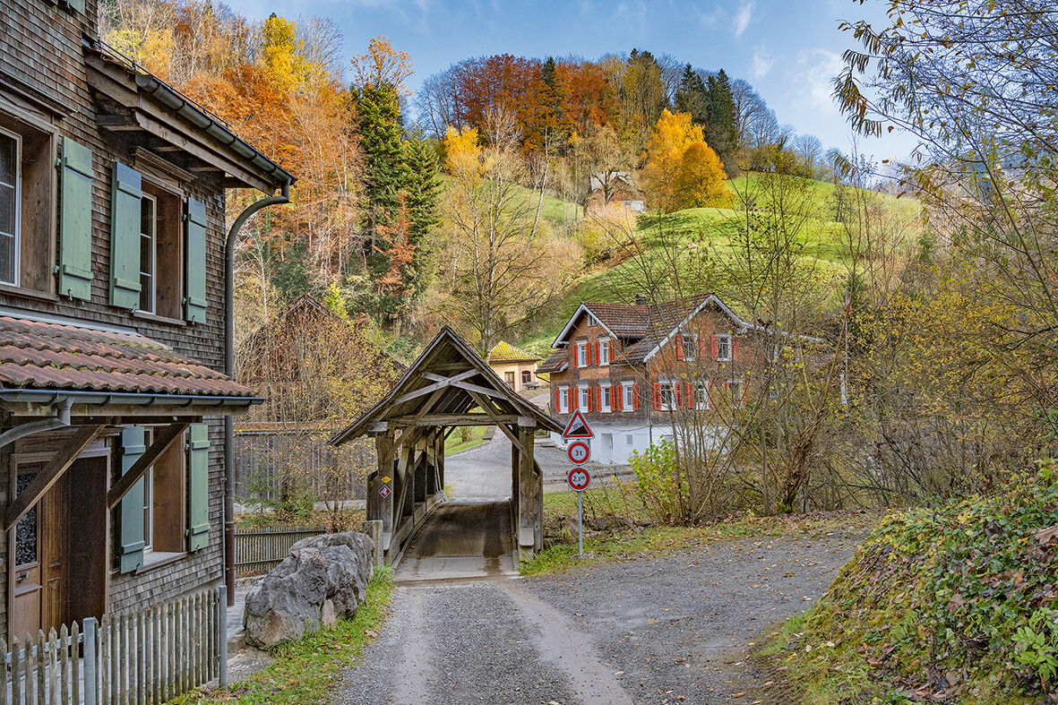
Circular hike from Speicher via the Chasteloch past impressive rocks and gorges.
- Moeilijkheid
-
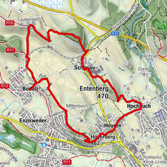
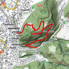
medium
- Waardering
-
- Route
-
Speicher (924 m)Speicher (924 m)0,2 kmChastenloch2,1 kmAchwis4,2 kmUnterach4,3 kmRestaurant Achmühle4,3 kmAchmüli4,4 kmSankt Gallen (675 m)5,7 kmReformierte Kirche7,3 kmSpeicher (924 m)7,4 kmSpeicher (924 m)7,7 km
- Beste seizoen
-
janfebmrtaprmeijunjulaugsepoktnovdec
- Maximale hoogte
- 933 m
- Bestemming
-
Speicher, Bahnhof
- Hoogteprofiel
-
 © outdooractive.com
- Auteur
-
De rondleiding The Goldach ravine from above and below wordt gebruikt door outdooractive.com op.
GPS Downloads


Meer rondleidingen in de regio's
-
St. Gallen - Bodensee
2067
-
St. Gallen und Umgebung
726
-
Speicher
229