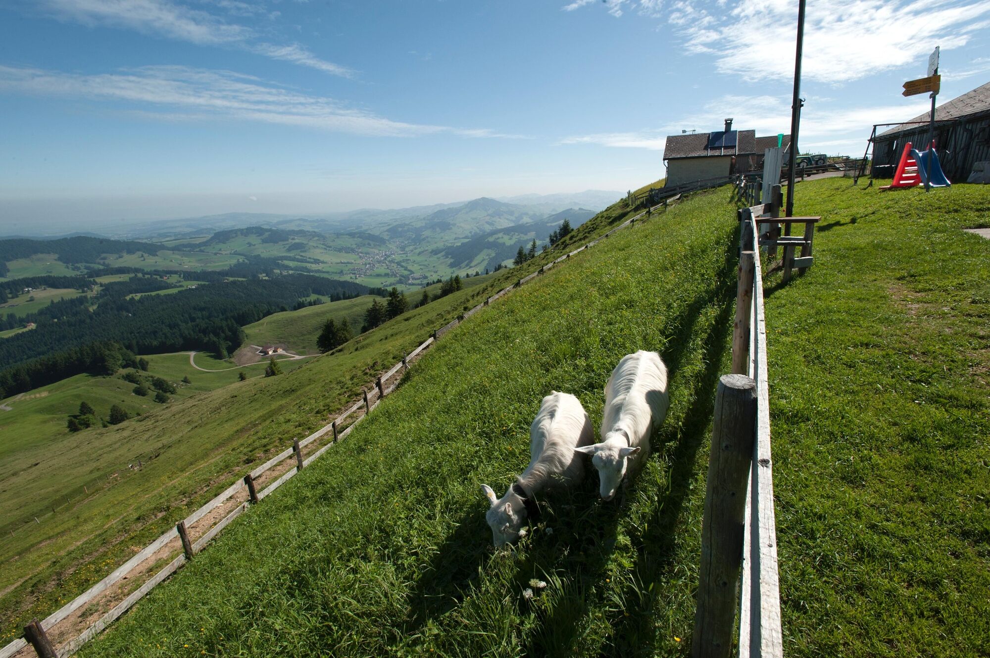
© Appenzellerland Tourismus AR - Marcel Steiner


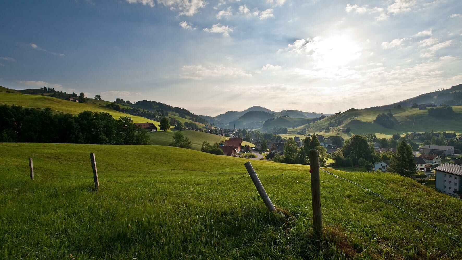
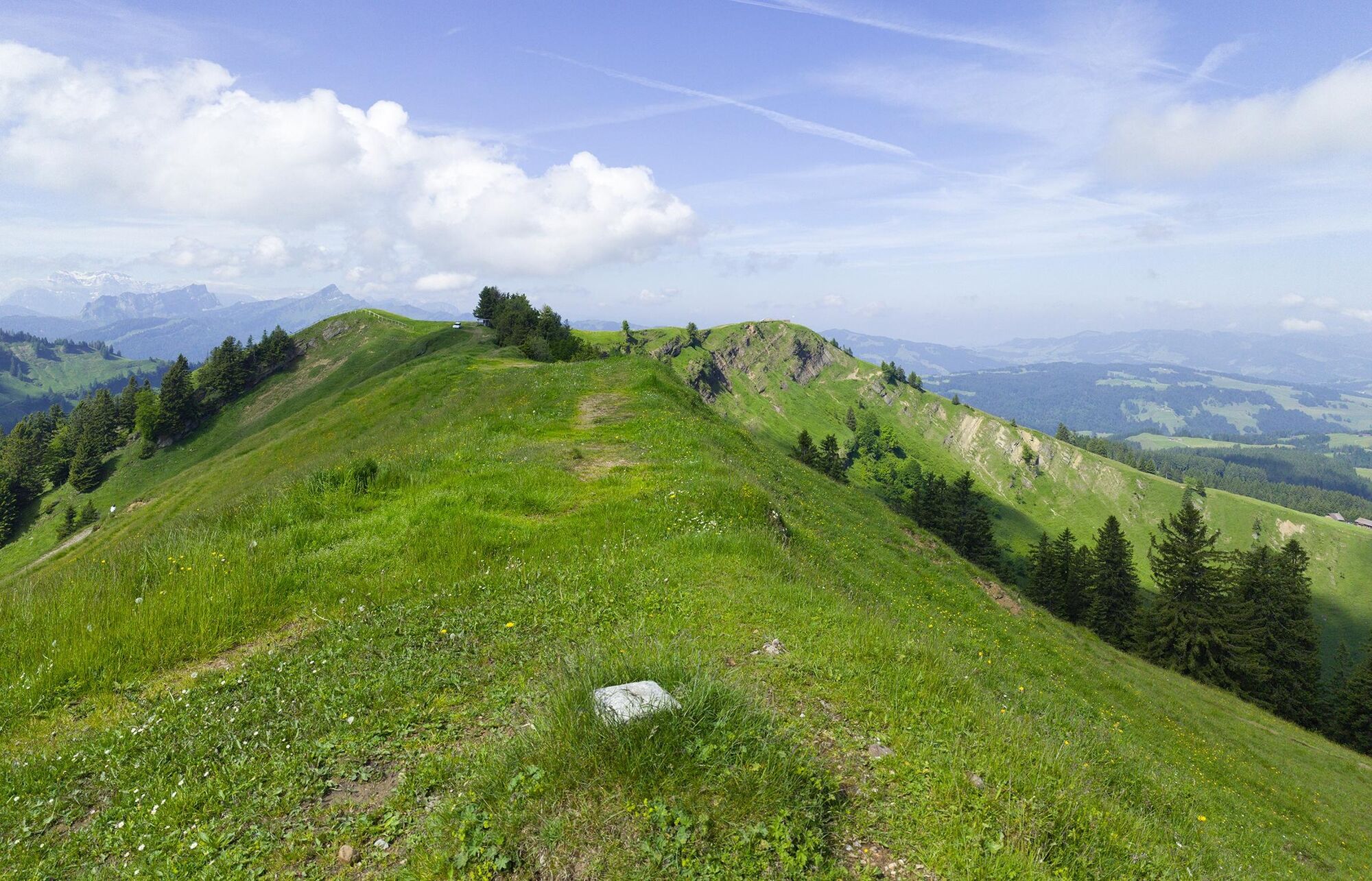
© Appenzellerland Tourismus AR - Marcel Steiner

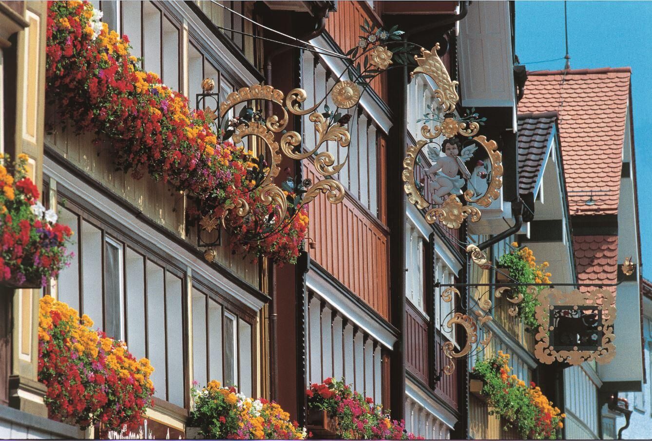
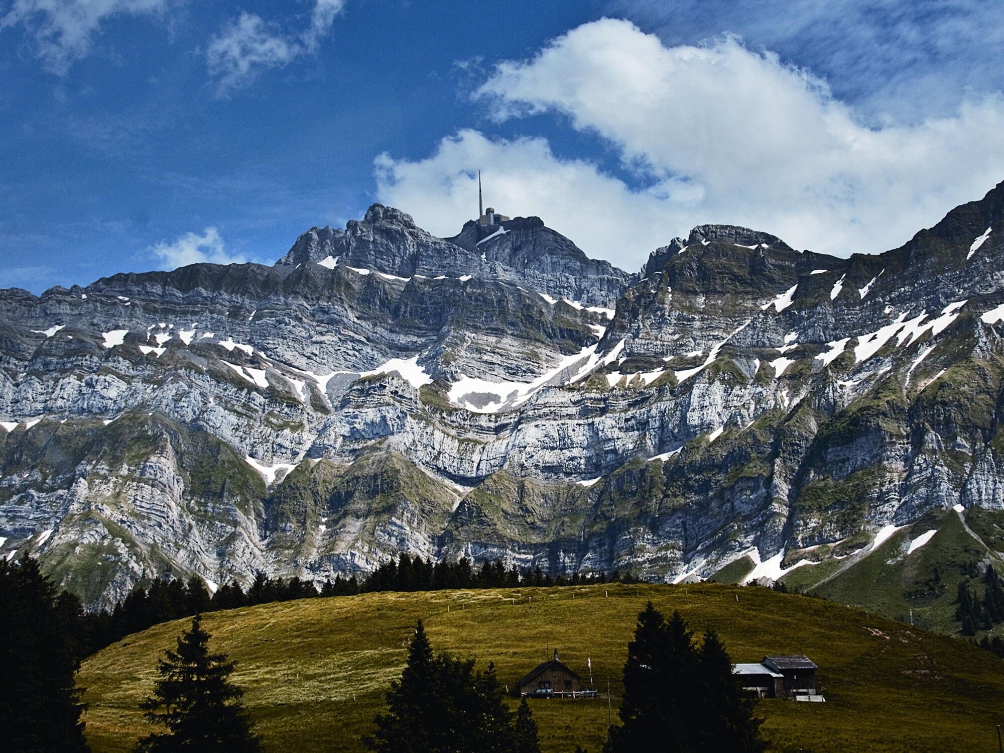
© Appenzellerland Tourismus AR - Marcel Steiner

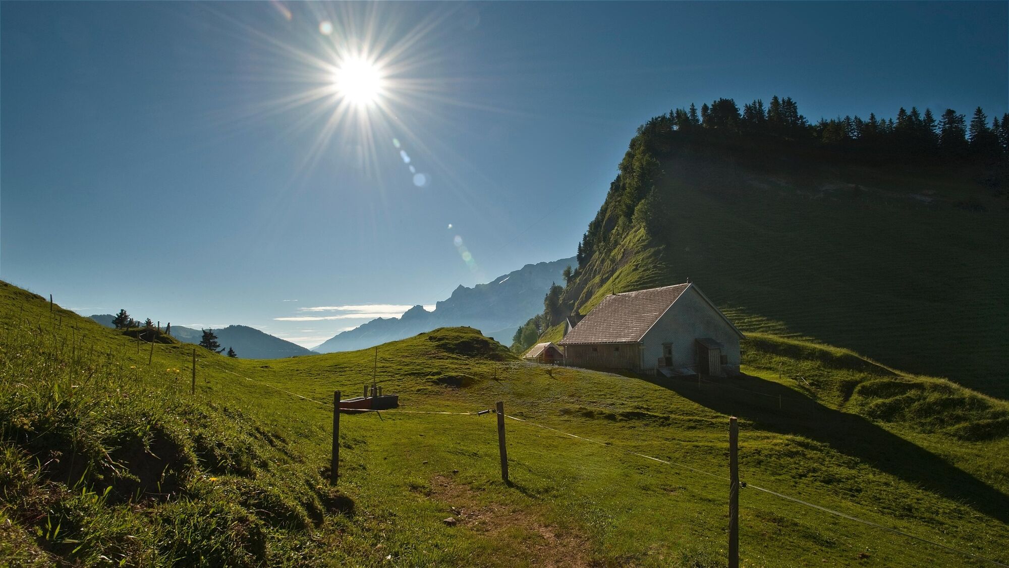
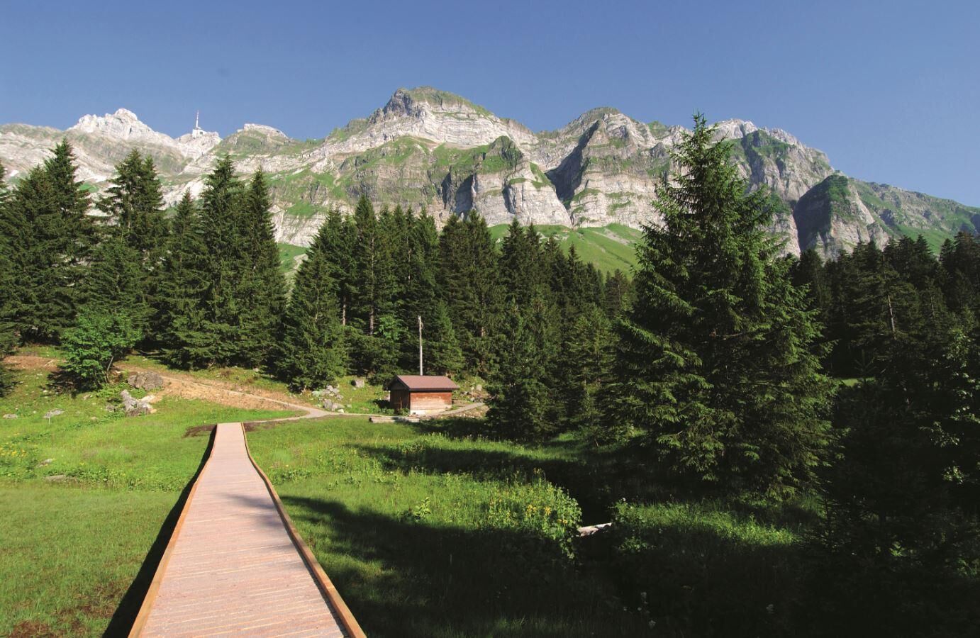
© Appenzellerland Tourismus AR - Marcel Steiner

© Säntis Schwebebahn - Alan Meier Fotograf

© Appenzellerland Tourismus AR - Säntis Schwebebahn

© Appenzellerland Tourismus AR - Säntis Schwebebahn

© Appenzellerland Tourismus AR - Säntis Schwebebahn
- Korte beschrijving
-
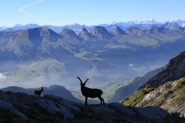
Take two days and discover the Appenzellerland in all its many facets. You will walk through the Appenzell Alps and sleep at the foot of Mount Säntis with breathtaking views of the summit
- Moeilijkheid
-
zwaar
- Waardering
-
- Route
-
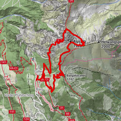
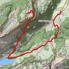
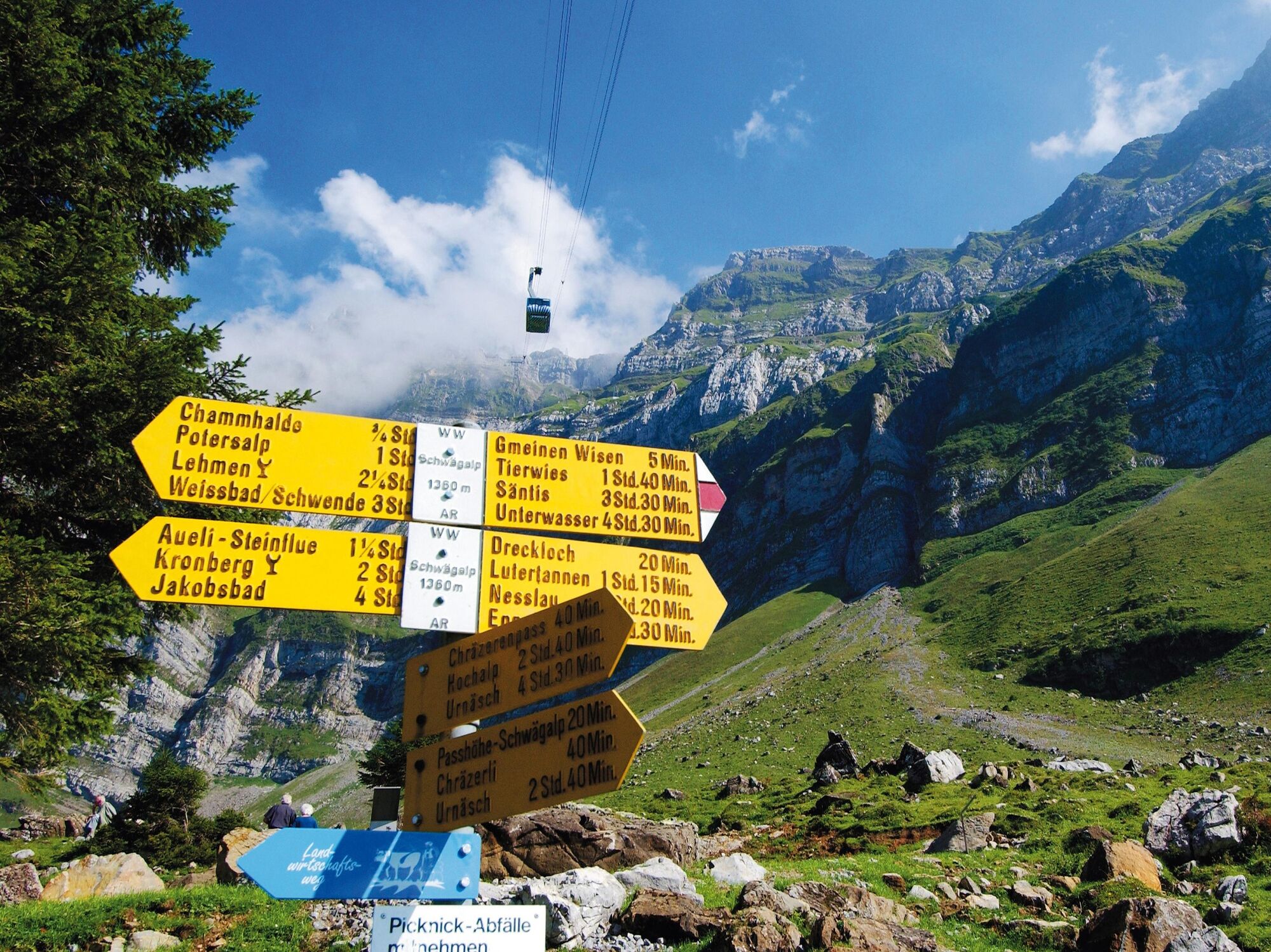
Urnäschref. Kirche0,1 kmHochalp6,7 kmHochalp (1.529 m)7,1 kmOberer Chenner7,7 kmAelpli (1.360 m)9,0 kmAlp Spicher (1.510 m)10,2 kmBeieregg13,8 kmSchwarzegg14,0 kmSchwägalp15,4 kmSiebenhütten16,3 kmChammhaldenhütte17,4 kmBruggerwald18,2 kmSchutzenälpli18,7 kmNusshalde (1.497 m)20,2 kmGrossbetten21,0 kmBergwirtschaft Blattendürren24,6 kmUrnäsch28,0 km
- Beste seizoen
-
janfebmrtaprmeijunjulaugsepoktnovdec
- Maximale hoogte
- 1.557 m
- Bestemming
-
Urnäsch
- Hoogteprofiel
-
 © outdooractive.com
- Auteur
-
De rondleiding Appenzell Alp Trail wordt gebruikt door outdooractive.com op.
GPS Downloads


Algemene info
Verfrissingsstop
Veelbelovend
Meer rondleidingen in de regio's
-
Appenzellerland
1963
-
Ferienregion Toggenburg
903
-
Urnäsch
293