© Appenzellerland Tourismus AR - Jolanda Spengler, Appenzeller Verlag

© Appenzellerland Tourismus AR - Jolanda Spengler, Appenzeller Verlag
© Appenzellerland Tourismus AR - Jolanda Spengler, Appenzeller Verlag
© Appenzellerland Tourismus AR - Jolanda Spengler, Appenzeller Verlag
- Korte beschrijving
-
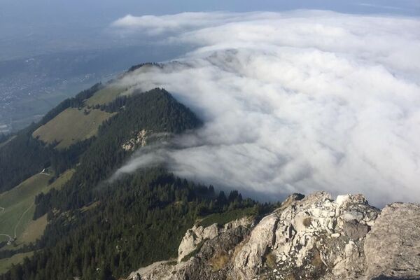
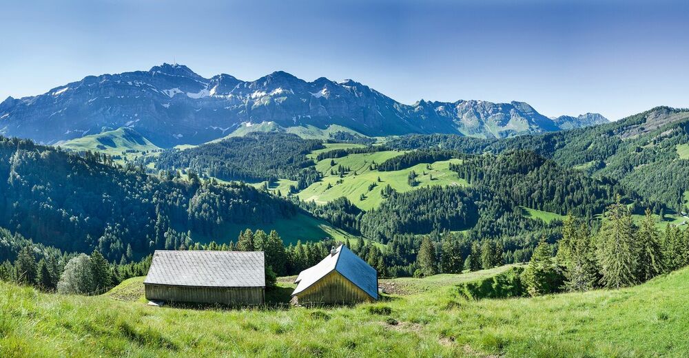
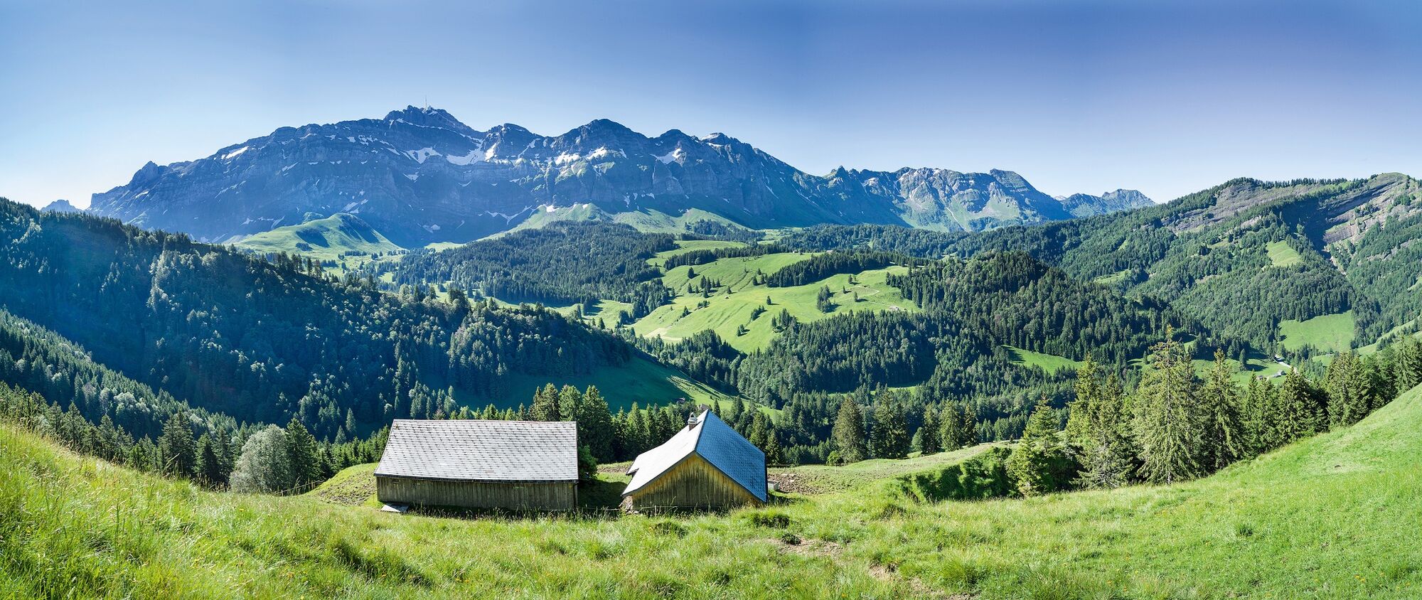
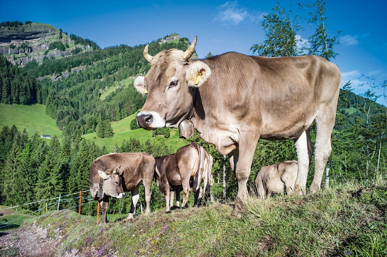
Even though Spitzli and Hoch Petersalp do not look as impressive as the Alpstein massif in the background, the ascent is quite challenging.
- Moeilijkheid
-
medium
- Waardering
-
- Route
-
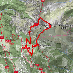
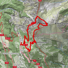
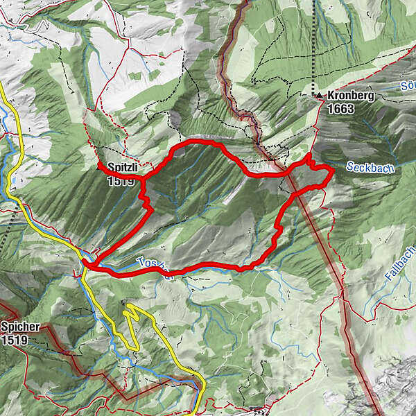
Spitzli2,4 kmGrossbetten4,6 kmNusshalde (1.497 m)5,4 kmLangälpli (1.366 m)6,7 kmRiglen8,4 km
- Beste seizoen
-
janfebmrtaprmeijunjulaugsepoktnovdec
- Maximale hoogte
- 1.572 m
- Bestemming
-
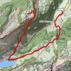
Urnäsch Steinflue
- Hoogteprofiel
-
 © outdooractive.com
- Auteur
-
De rondleiding Up and down with mount Säntis as backdrop wordt gebruikt door outdooractive.com op.
GPS Downloads


Algemene info
Veelbelovend
Meer rondleidingen in de regio's
-
Appenzellerland
1956
-
Ebenalp
1094
-
Säntis / Schwägalp
333