


Toerdatums
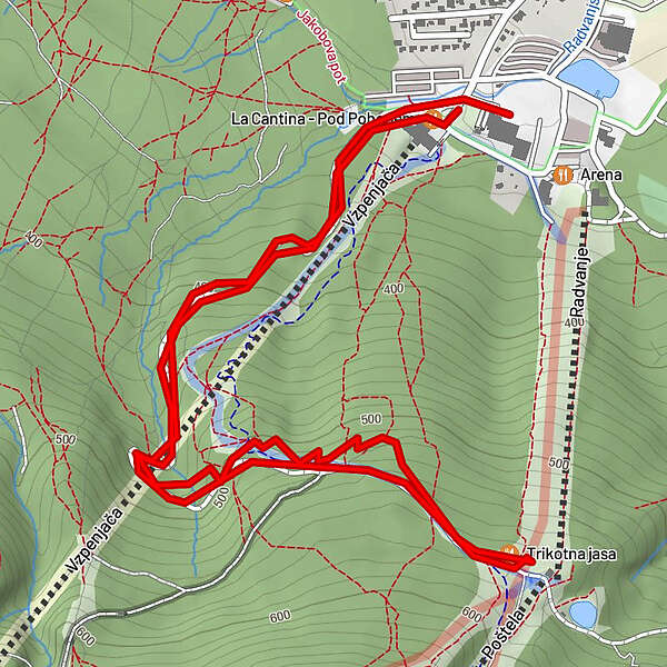
4,45km
319
- 568m
245hm
242hm
01:00h
- Waardering
-
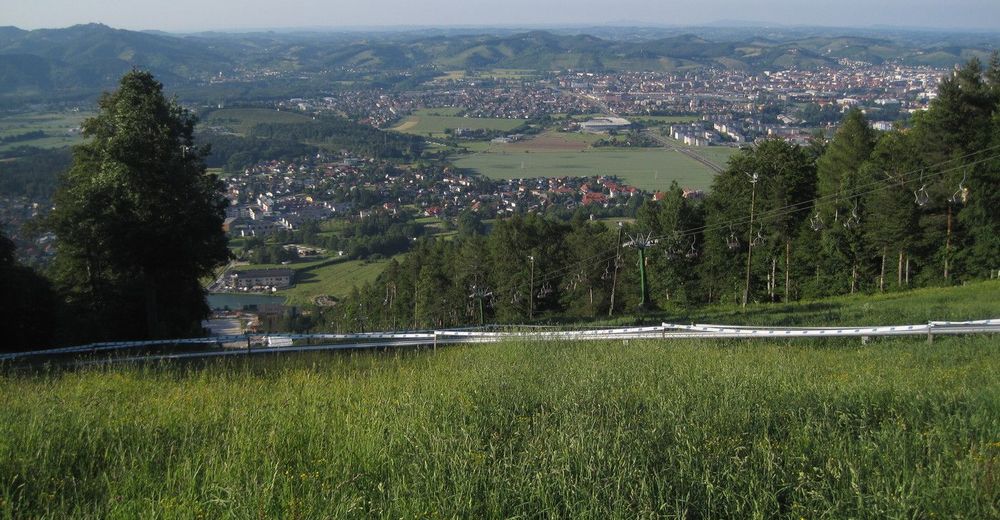
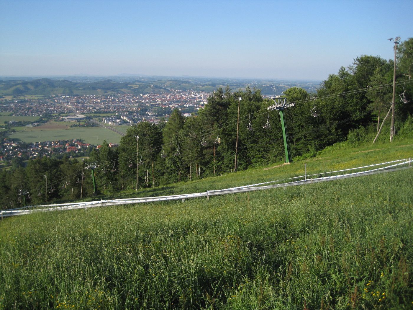
- Startpunt
-
Gondelstation Mariborsko Pohorje
- Route
-
Trikotna jasa2,3 km
- Maximale hoogte
- 568 m


GPS Downloads


Rijbanen
Asfalt
Steenslag
Bergwegen
Single trails
Trial
Verkeer
Meer rondleidingen in de regio's
-
Südsteiermark
138
-
Maribor-Pohorje
46
-
Maribor
8