Mountainbikeroute n°57 - Het plateau van Caseneuve

Mountainbike

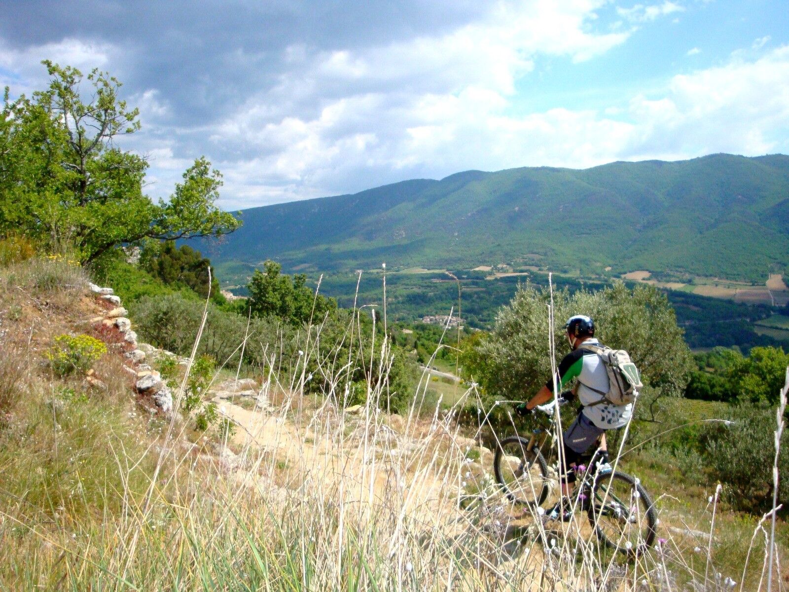
© © Maison du Parc du Luberon

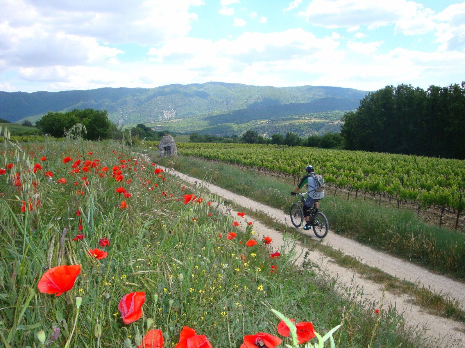
© © Maison du Parc du Luberon

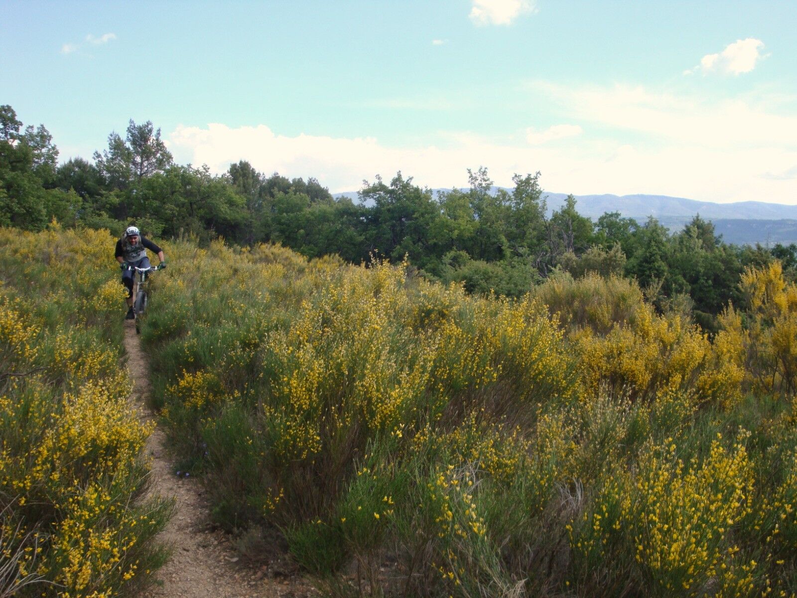
© © Maison du Parc du Luberon

© © Maison du Parc du Luberon

© © Maison du Parc du Luberon


- Korte beschrijving
-
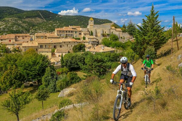
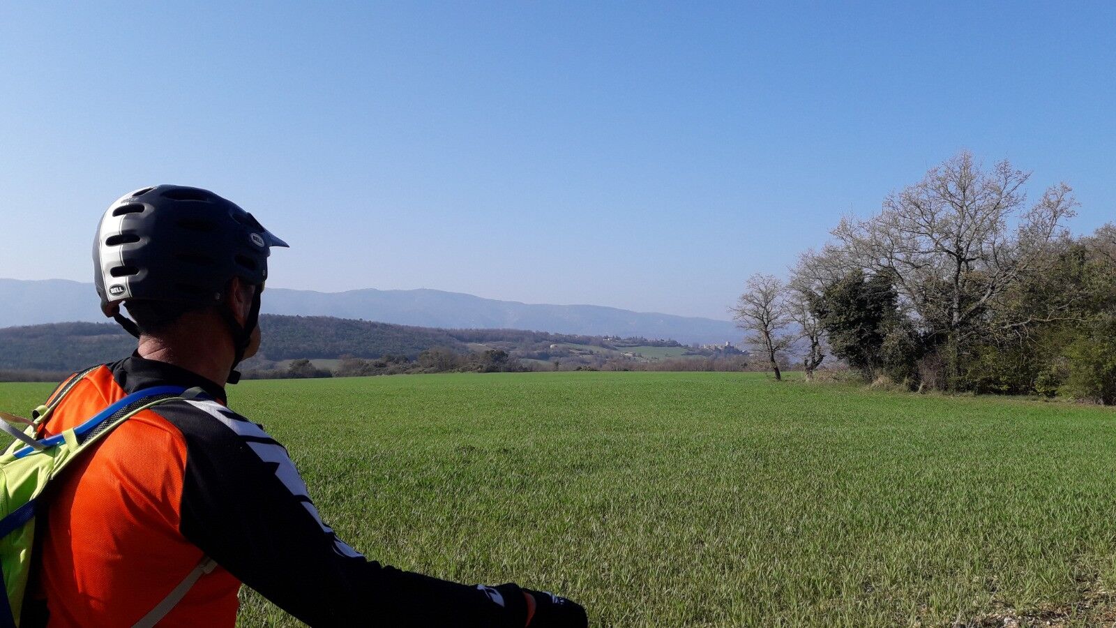
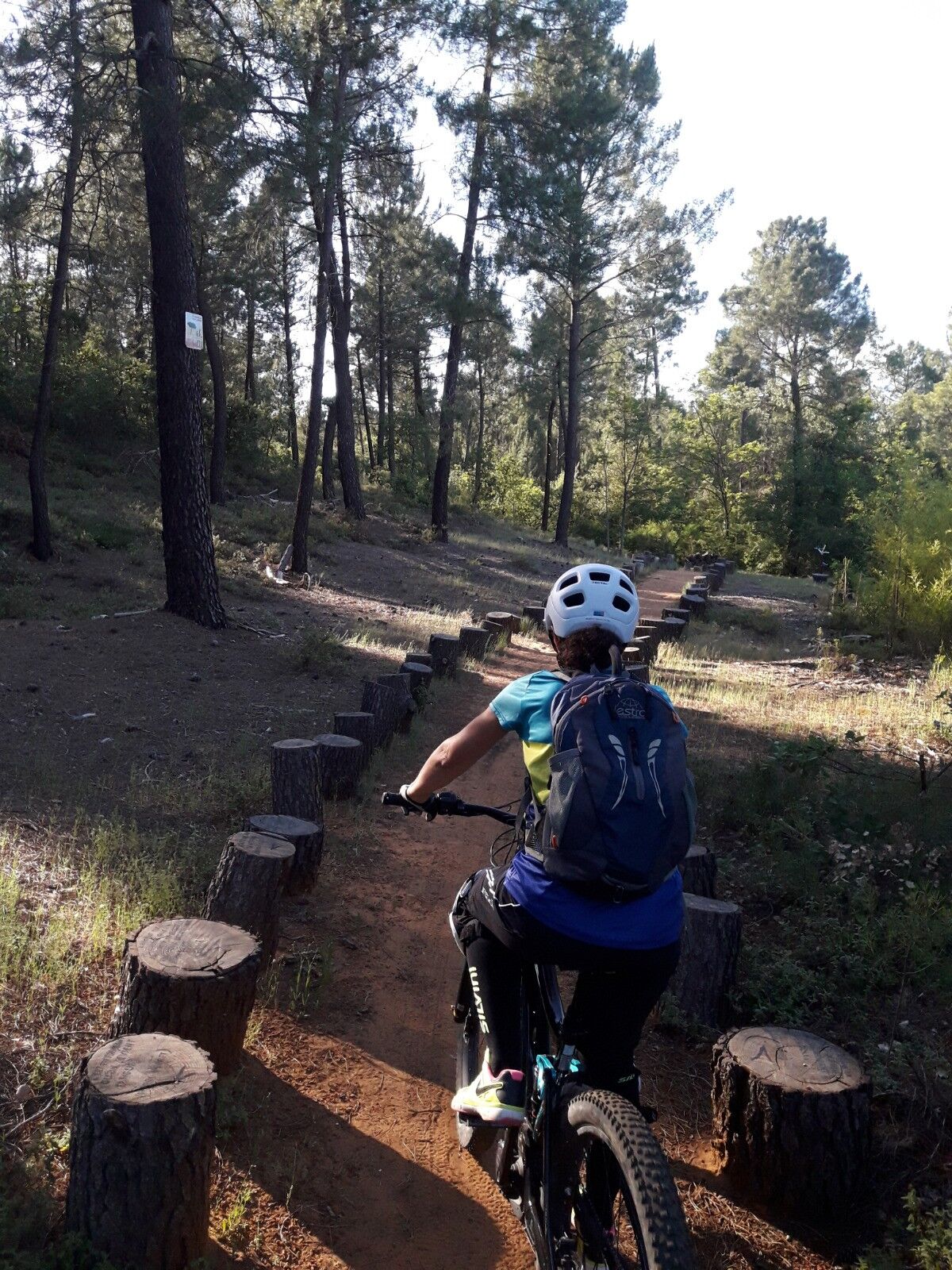
A fairly rolling mountain bike route linking two beautiful Luberon hilltop villages.
- Moeilijkheid
-
zwaar
- Waardering
-
- Route
-
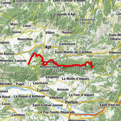
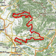
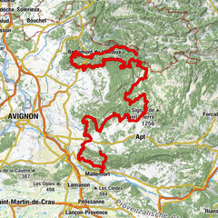
Église Notre-Dame-des-Aumades5,9 kmSaint-Martin-de-Castillon10,6 kmCaseneuve22,1 kmLe Sanglier Paresseux22,1 km
- Beste seizoen
-
janfebmrtaprmeijunjulaugsepoktnovdec
- Maximale hoogte
- 573 m
- Bestemming
-
Parking du Fangas - Saignon
- Hoogteprofiel
-
 © outdooractive.com
- Auteur
-
De rondleiding Mountainbikeroute n°57 - Het plateau van Caseneuve wordt gebruikt door outdooractive.com op.
GPS Downloads


Meer rondleidingen in de regio's
-
Vaucluse
99
-
Pays d'Apt-Luberon
69