Route des Grandes Alpes - Variante by Col de la Bonette

Racefiets

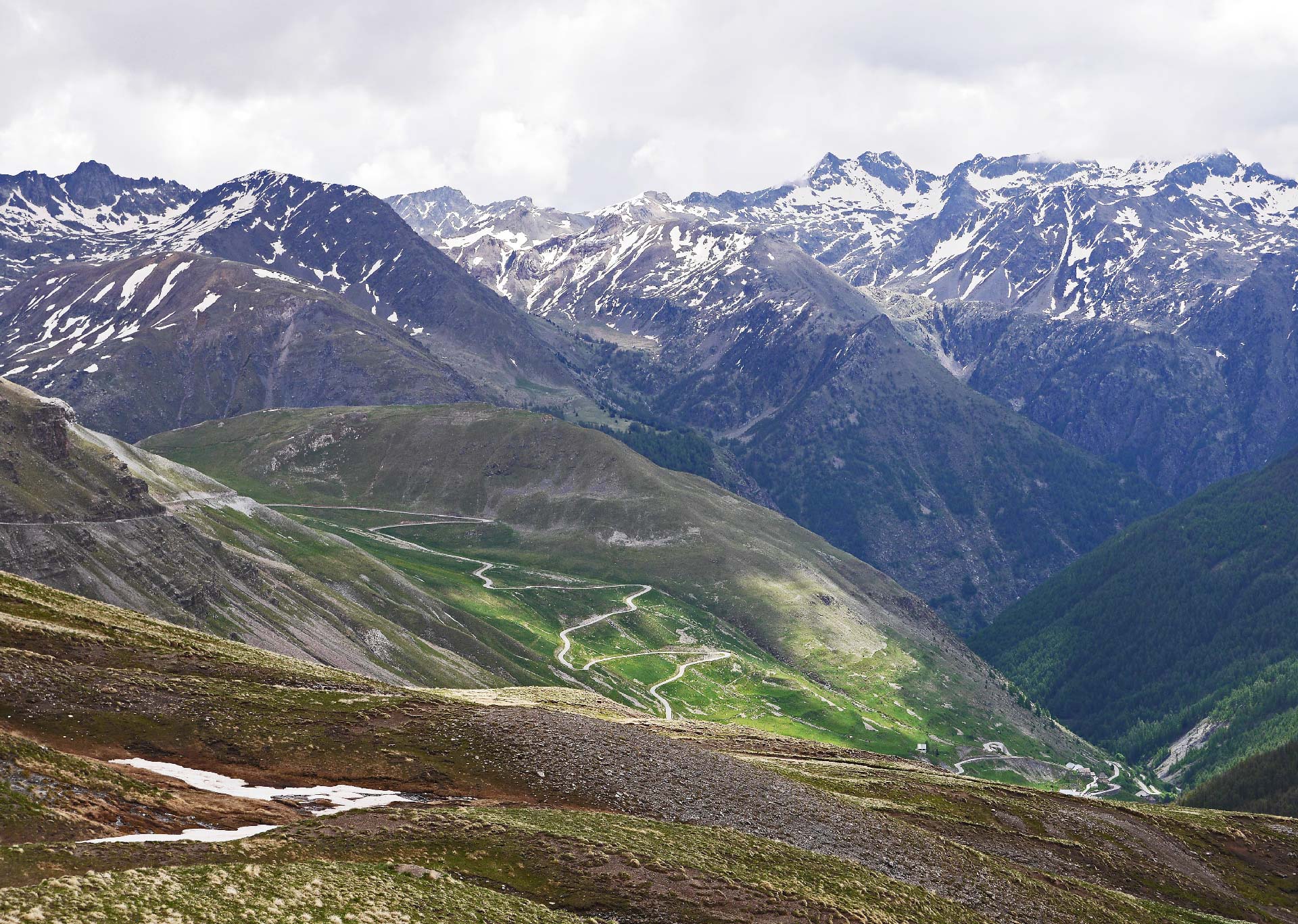
© TILT COM’SEIL - Philippe Lemonnier

© PXHere
Toerdatums
74,8km
525
- 2.704m
1.508hm
2.170hm
06:37h

TILT COM’SEIL
- Korte beschrijving
-
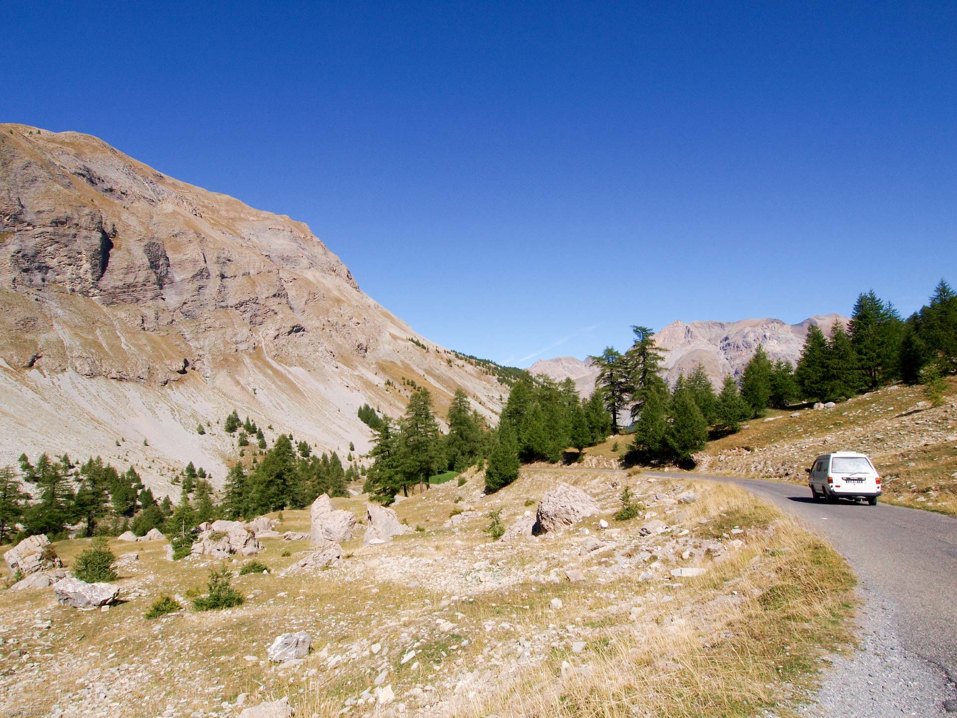
Last variant of the Route des Grandes Alpes to the borders of the Italian border, the route will take you to the highest road in Europe, at nearly 2800 meters above sea level.
- Moeilijkheid
-
zwaar
- Waardering
-
- Route
-
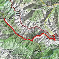
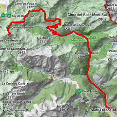
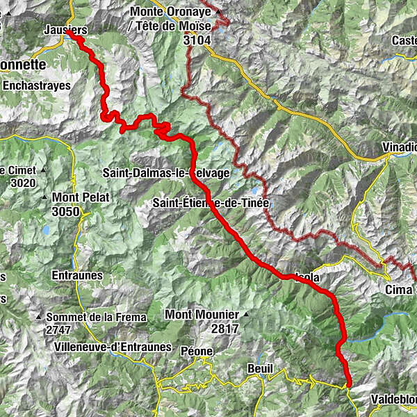
JausiersLe Canton0,3 kmLes Magnans0,6 kmLes Bellarots0,7 kmLe Moulin0,7 kmChalet de Cocody1,6 kmLes Buissons3,2 kmLans4,3 kmLe Pis10,2 kmHalte 200010,8 kmCamp des Fourches (2.271 m)28,9 kmGîte communal de Bousieyas34,2 kmLe Pra36,9 kmCascades du Chaudan37,8 kmChapelle Saint-Michel46,9 kmSanto Stefano di Tinea46,9 kmChapelle Saint-Sébastien47,2 kmChapelle Saint-Sébastien47,4 kmLe Bourguet51,7 kmCialancier54,1 kmIsola61,0 kmSan Salvatore74,7 km
- Beste seizoen
-
janfebmrtaprmeijunjulaugsepoktnovdec
- Maximale hoogte
- 2.704 m
- Hoogteprofiel
-
 © outdooractive.com
- Auteur
-
TILT COM’SEILDe rondleiding Route des Grandes Alpes - Variante by Col de la Bonette wordt gebruikt door outdooractive.com op.
GPS Downloads


Meer rondleidingen in de regio's