© Métropole Nice Côte d'Azur - Frédéric Aguilhon

© Métropole Nice Côte d'Azur - Métropole Nice Côte d'Azur - vélo

- Korte beschrijving
-
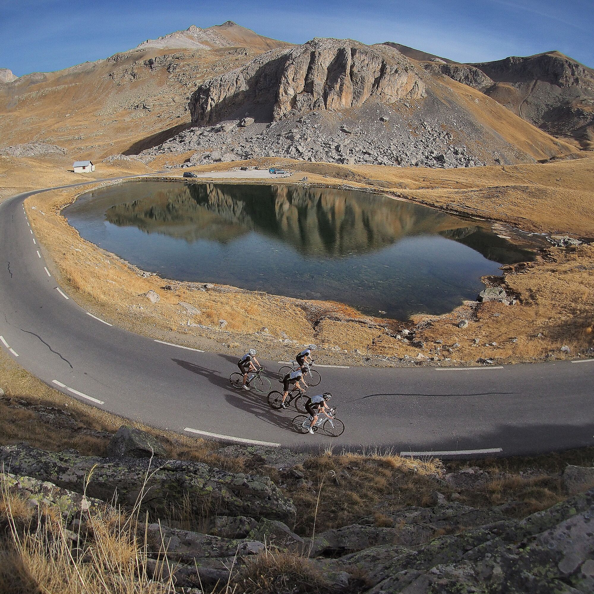
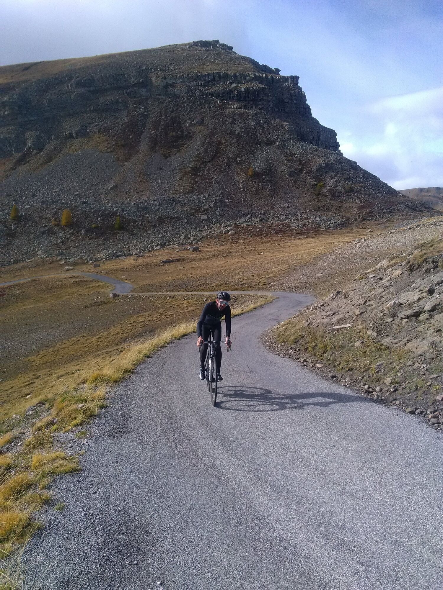
This version offers the advantage of discovering a new ascent of La Bonette, almost without a car and somewhat unknown to cyclists.
- Moeilijkheid
-
zwaar
- Waardering
-
- Route
-
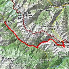
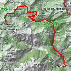
Santo Stefano di TineaÉglise Saint-Dalmas7,1 kmSan Dalmazzo Selvatico7,2 kmSaveurs de Montagne7,2 kmLes 3 marmottes7,2 kmSestrière Basse13,9 kmCime de la Bonette (2.860 m)25,4 kmCime de Vermillon (2.579 m)28,8 kmCamp des Fourches (2.271 m)33,3 kmGîte communal de Bousieyas38,6 kmLe Pra41,4 kmCascades du Chaudan42,0 kmSanto Stefano di Tinea51,0 km
- Beste seizoen
-
janfebmrtaprmeijunjulaugsepoktnovdec
- Maximale hoogte
- 2.802 m
- Bestemming
-
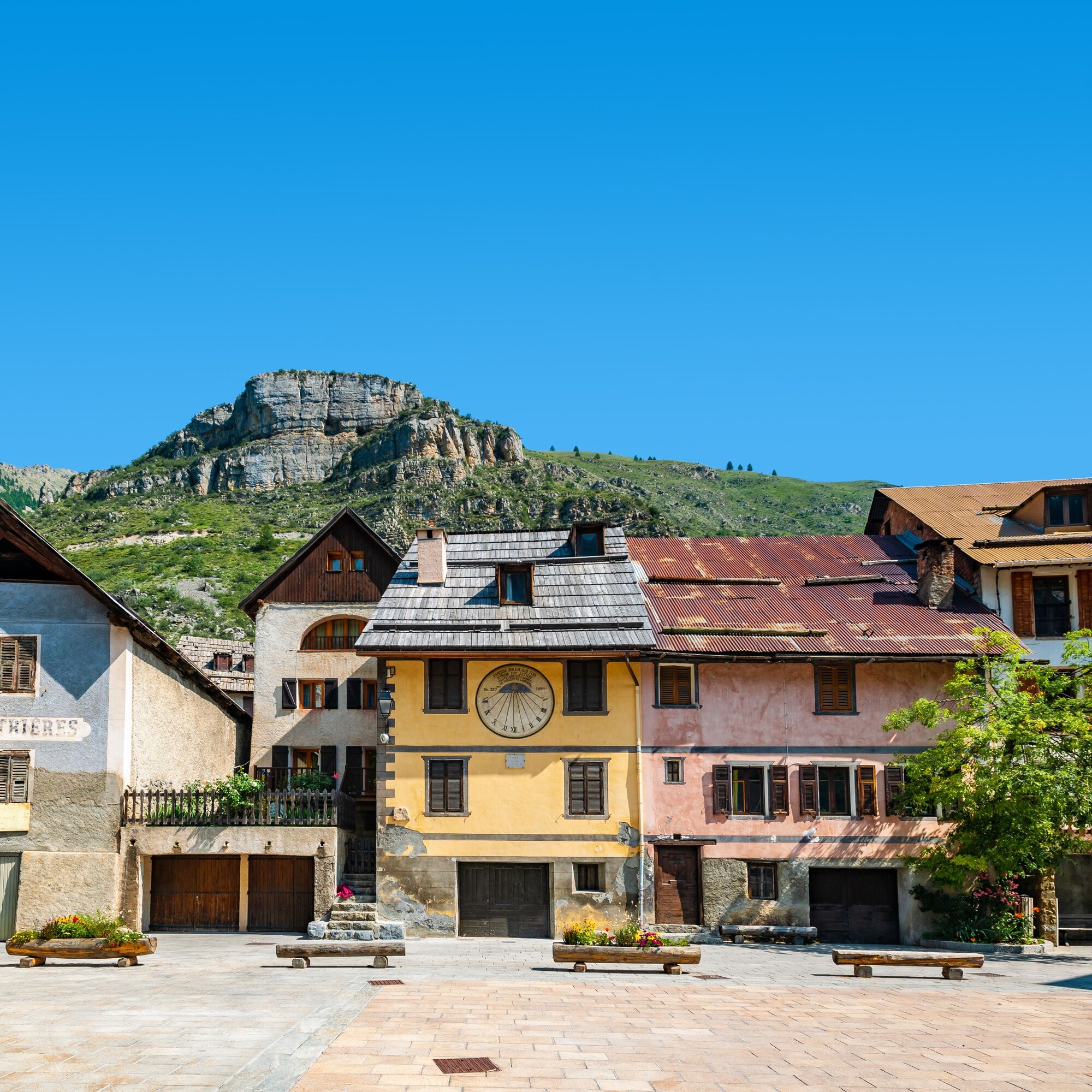
Saint-Etienne-de-Tinée
- Hoogteprofiel
-
 © outdooractive.com

-

-
AuteurDe rondleiding Bicycle loop la Bonette by la Moutière wordt gebruikt door outdooractive.com op.
GPS Downloads


Algemene info
Verfrissingsstop
Flora
Veelbelovend
Meer rondleidingen in de regio's