© Terra Dinarica - planinarenje .ba
© Terra Dinarica - planinarenje .ba
© Terra Dinarica - planinarenje .ba

© Terra Dinarica - planinarenje .ba

© Terra Dinarica - planinarenje .ba

- Korte beschrijving
-
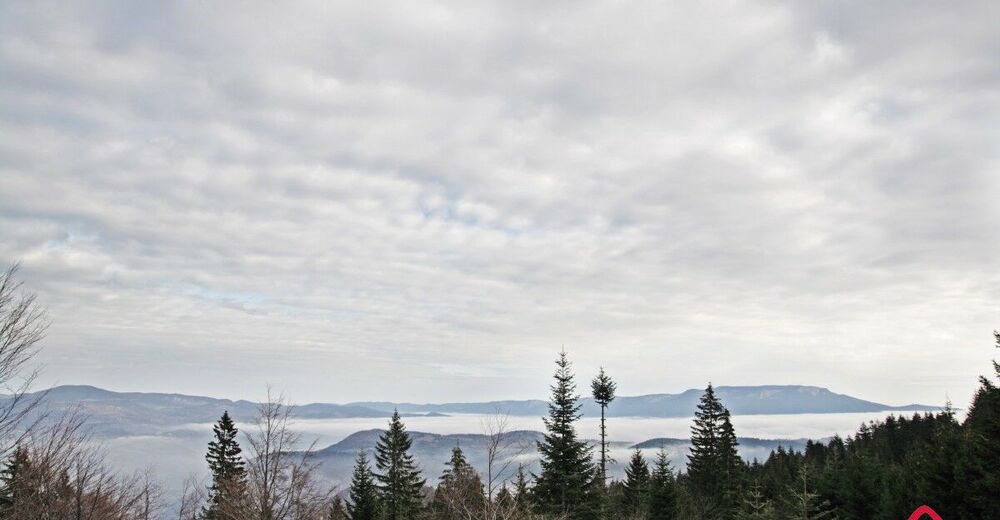
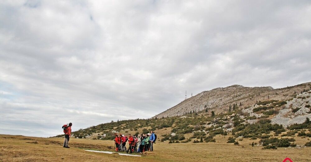
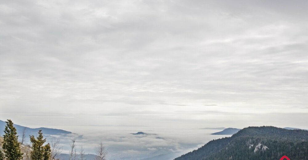
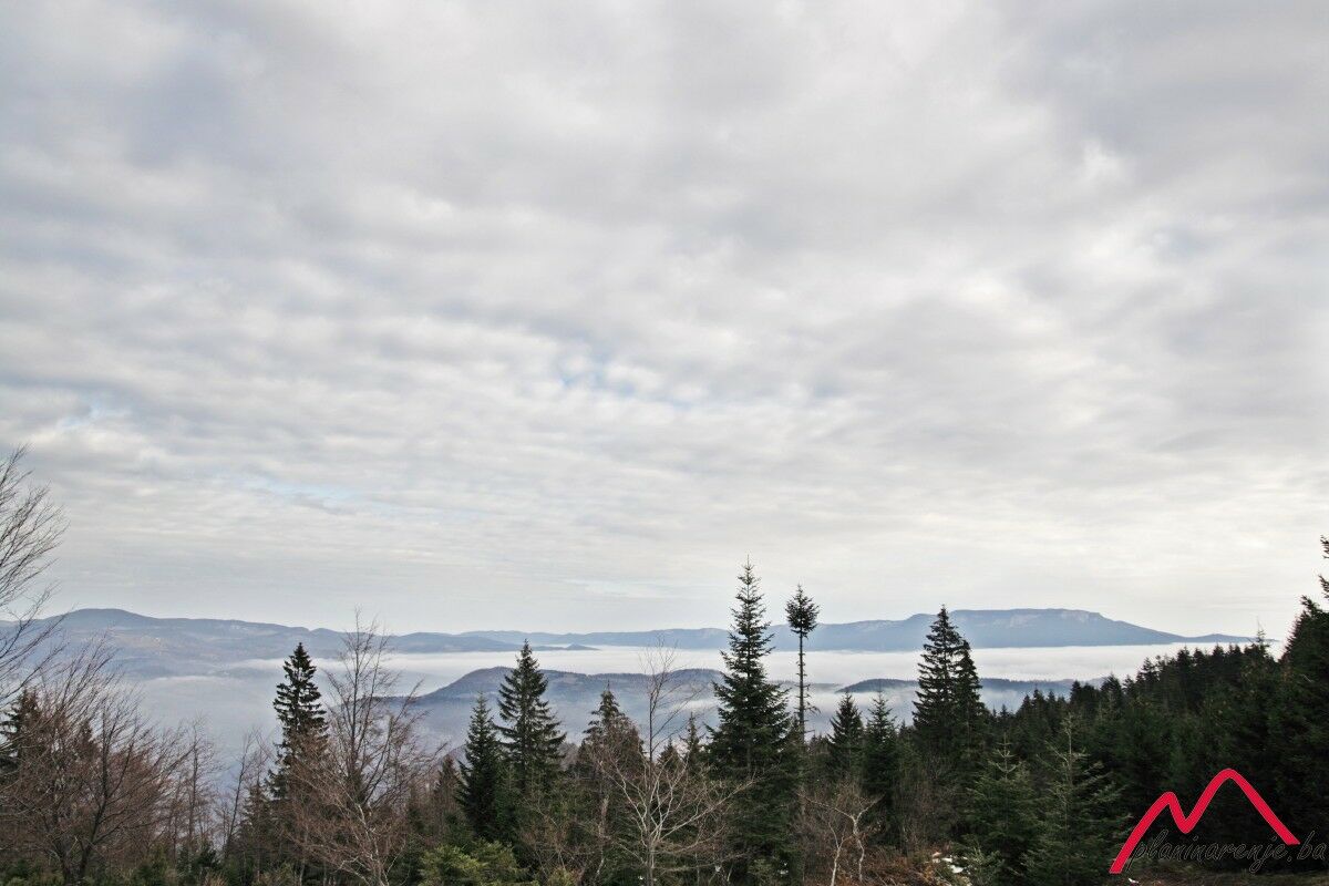
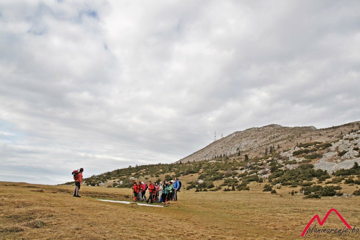
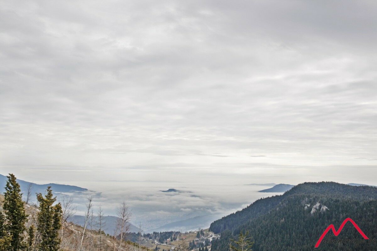
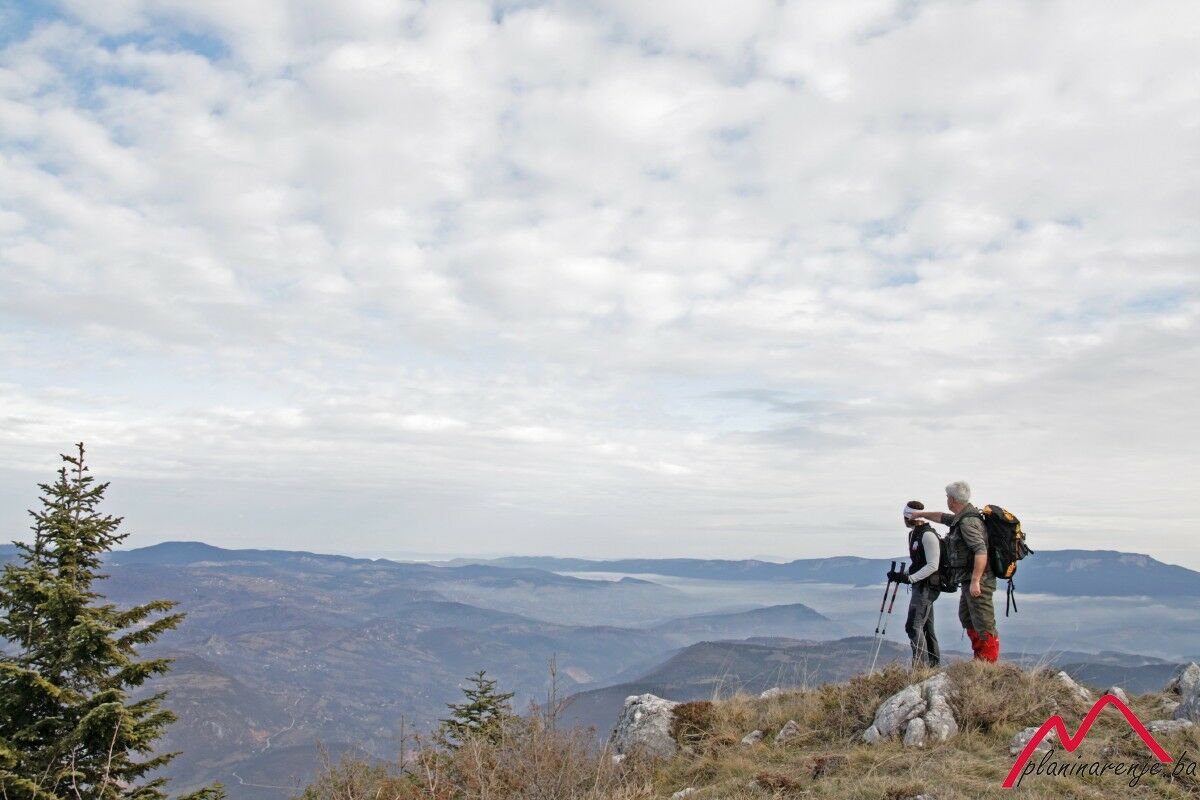
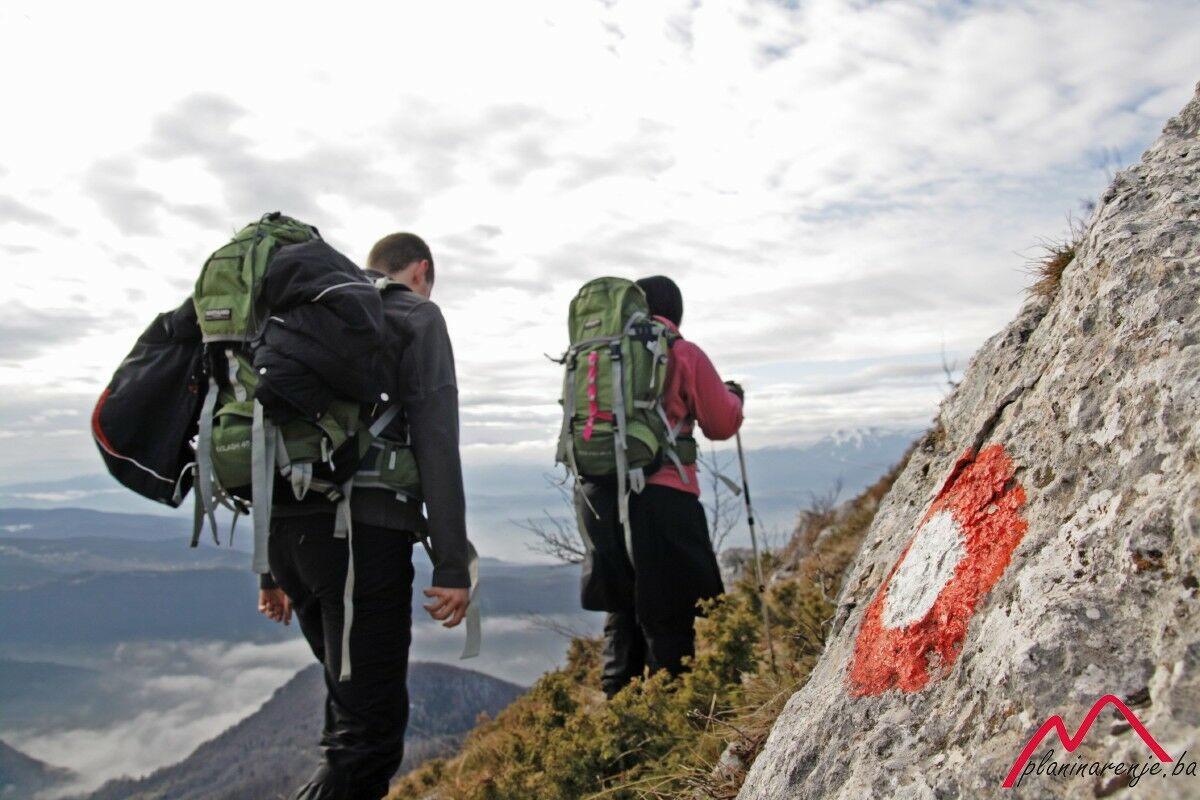
Easy walk, technically undemanding terrain. Wonderful view of the surrounding mountains along the way: Romanija, Jahorina, Treskavica, Visočica and Bjelašnica.
- Route
-
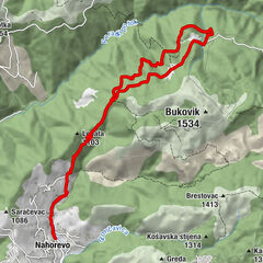
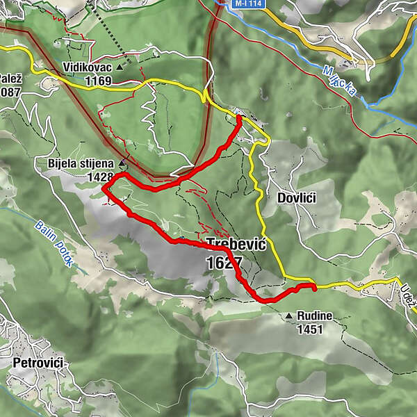
Trebević-Sofe (1.627 m)2,1 kmPD Dobre vode4,9 kmBrus6,2 km
- Maximale hoogte
- 1.604 m
- Bestemming
-
Sofe
- Hoogteprofiel
-
 © outdooractive.com
-

-
AuteurDe rondleiding Čelina-Sofe wordt gebruikt door outdooractive.com op.
GPS Downloads


Algemene info
Veelbelovend