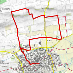
Circuit through wine and forest: Weisenheim am Sand - Sandhasenweg 3

Wandelen

© Zum Wohl. Die Pfalz. - Marika Henninger Urlaubsregion Freinsheim

© Zum Wohl. Die Pfalz. - Christa Knabe

© Zum Wohl. Die Pfalz. - Marika Henninger Urlaubsregion Freinsheim

© Zum Wohl. Die Pfalz. - Marika Henninger Urlaubsregion Freinsheim

- Korte beschrijving
-
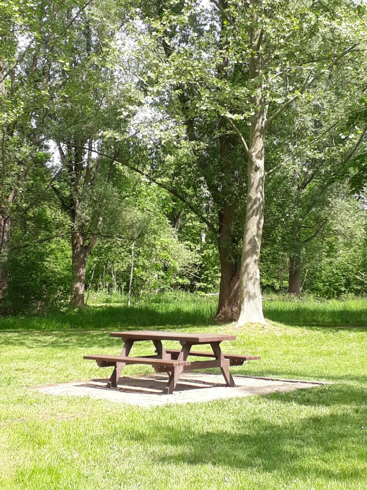
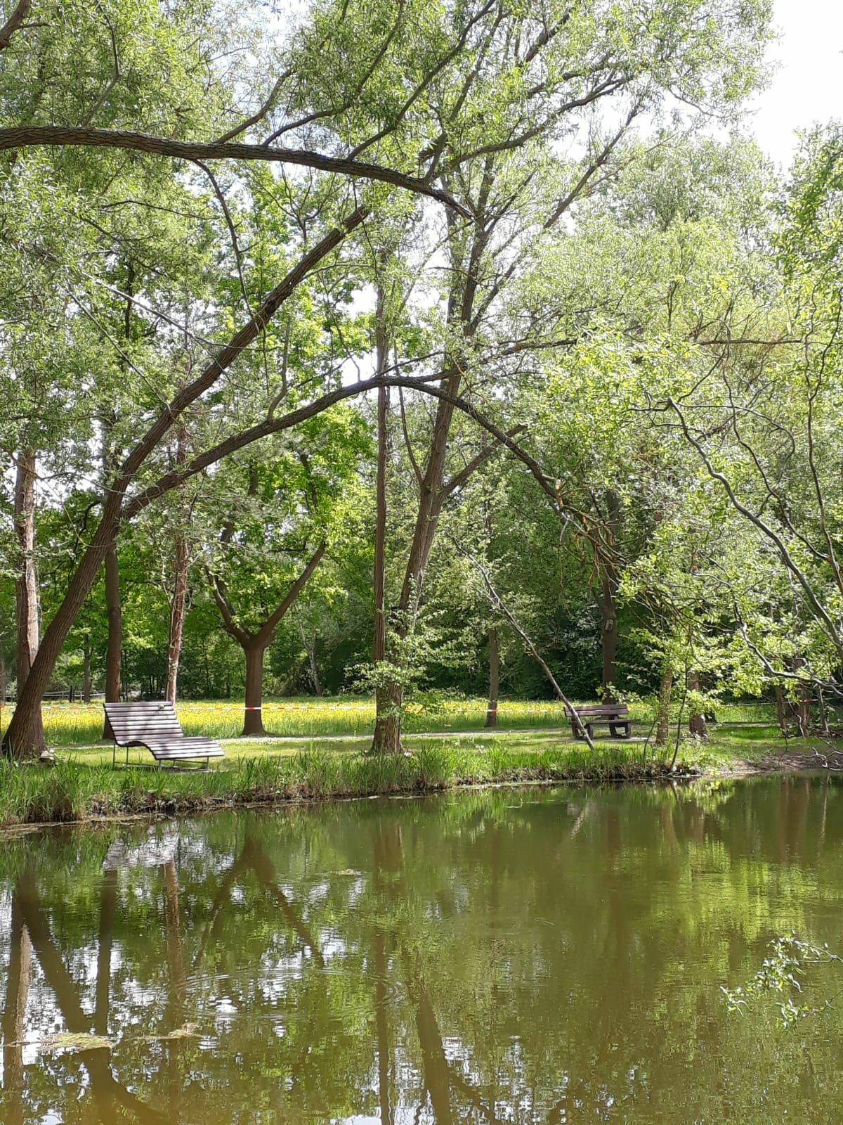
Path in the south of the village through forest and vineyards.
Attention: Due to land consolidation works, the signposting and landscape do not correspond to the listed description at the moment.
- Moeilijkheid
-
gemakkelijk
- Waardering
-
- Route
-
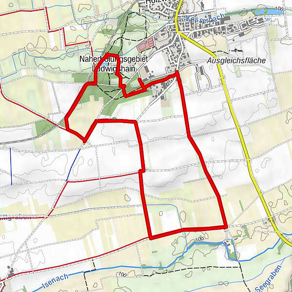
Naherholungsgebiet Ludwigshain5,3 km
- Beste seizoen
-
janfebmrtaprmeijunjulaugsepoktnovdec
- Maximale hoogte
- 129 m
- Bestemming
-
Car park Reitverein am Keschdeberg, Riedweg
- Hoogteprofiel
-
 © outdooractive.com


- Auteur
-
De rondleiding Circuit through wine and forest: Weisenheim am Sand - Sandhasenweg 3 wordt gebruikt door outdooractive.com op.
GPS Downloads


Algemene info
Veelbelovend
Meer rondleidingen in de regio's
-
Pfalz
1515
-
Deutsche Weinstraße
603
-
Freinsheim
195