Toerdatums
9,03km
495
- 678m
214hm
223hm
02:15h
- Korte beschrijving
-
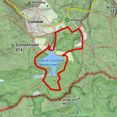
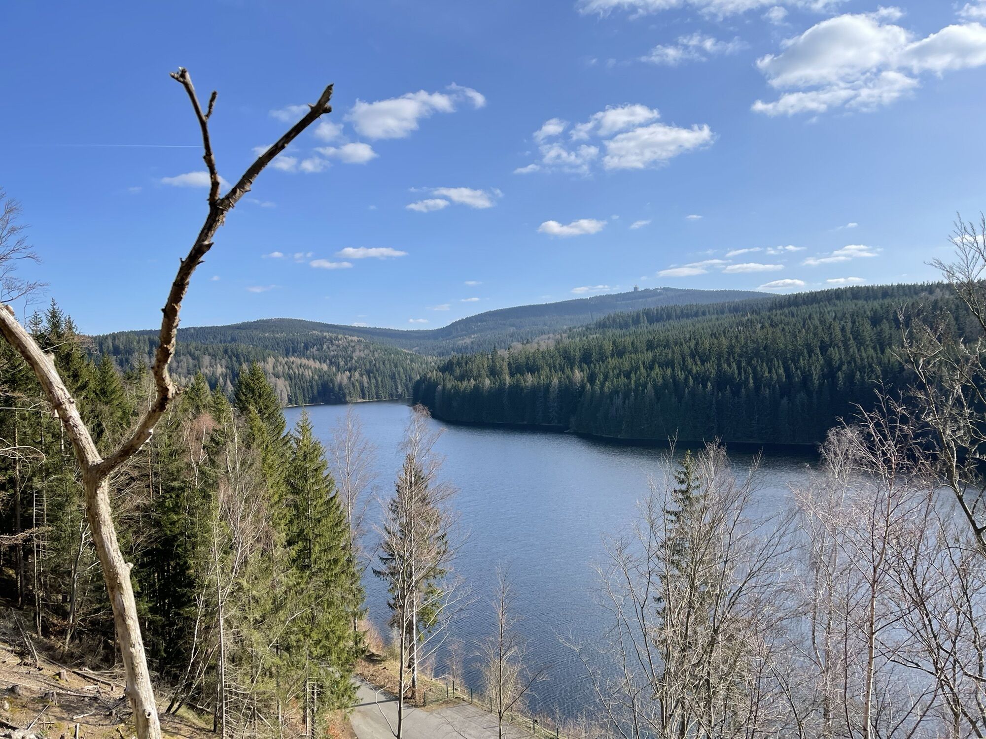
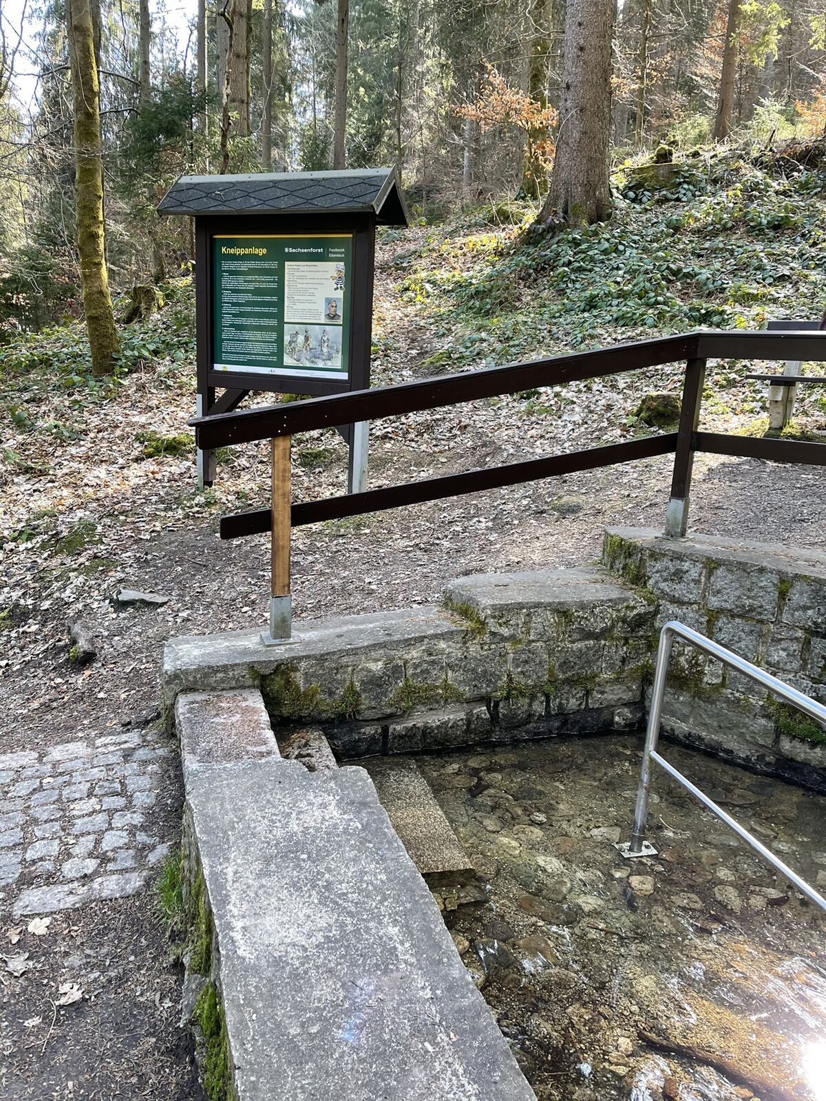
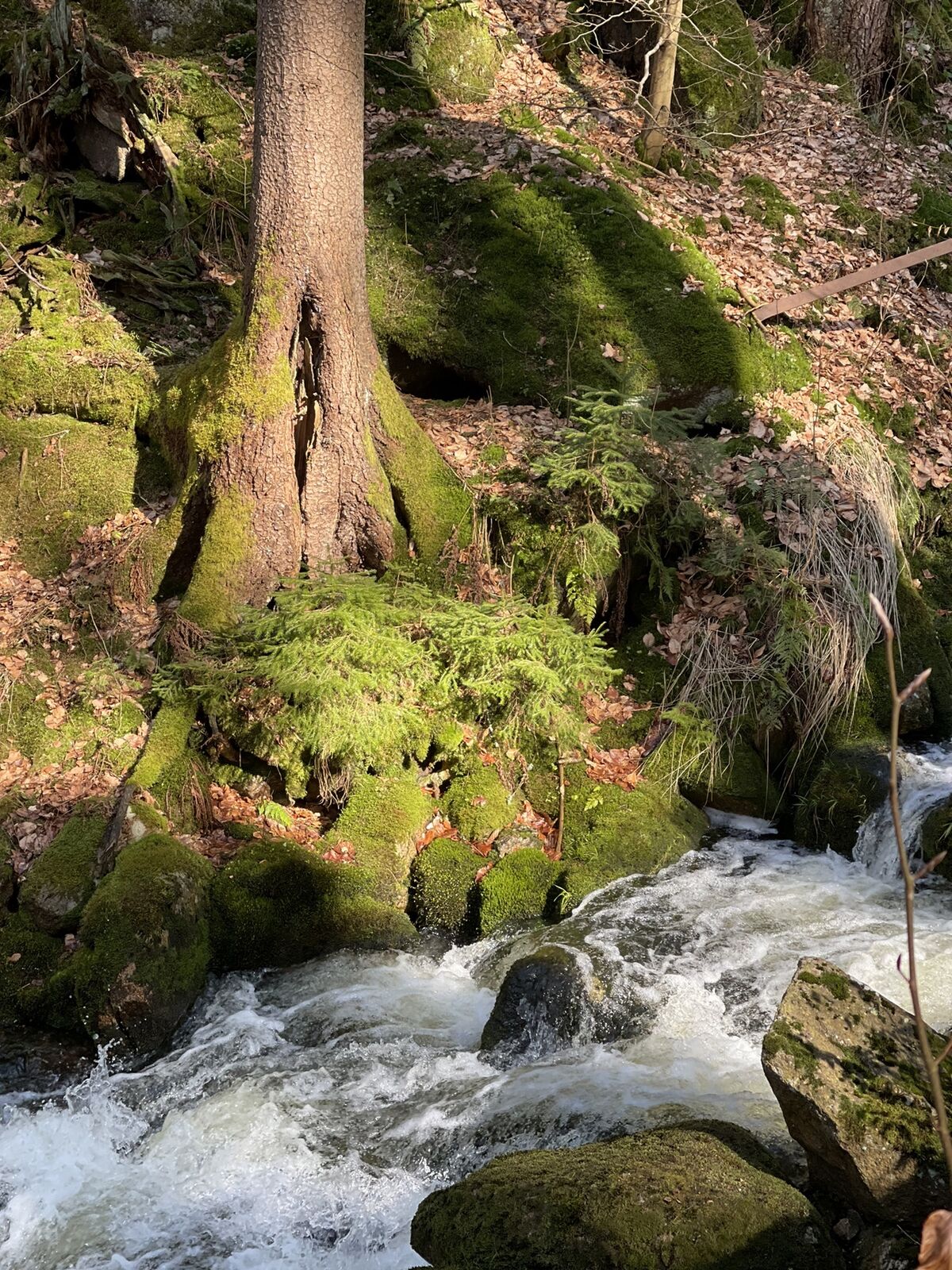
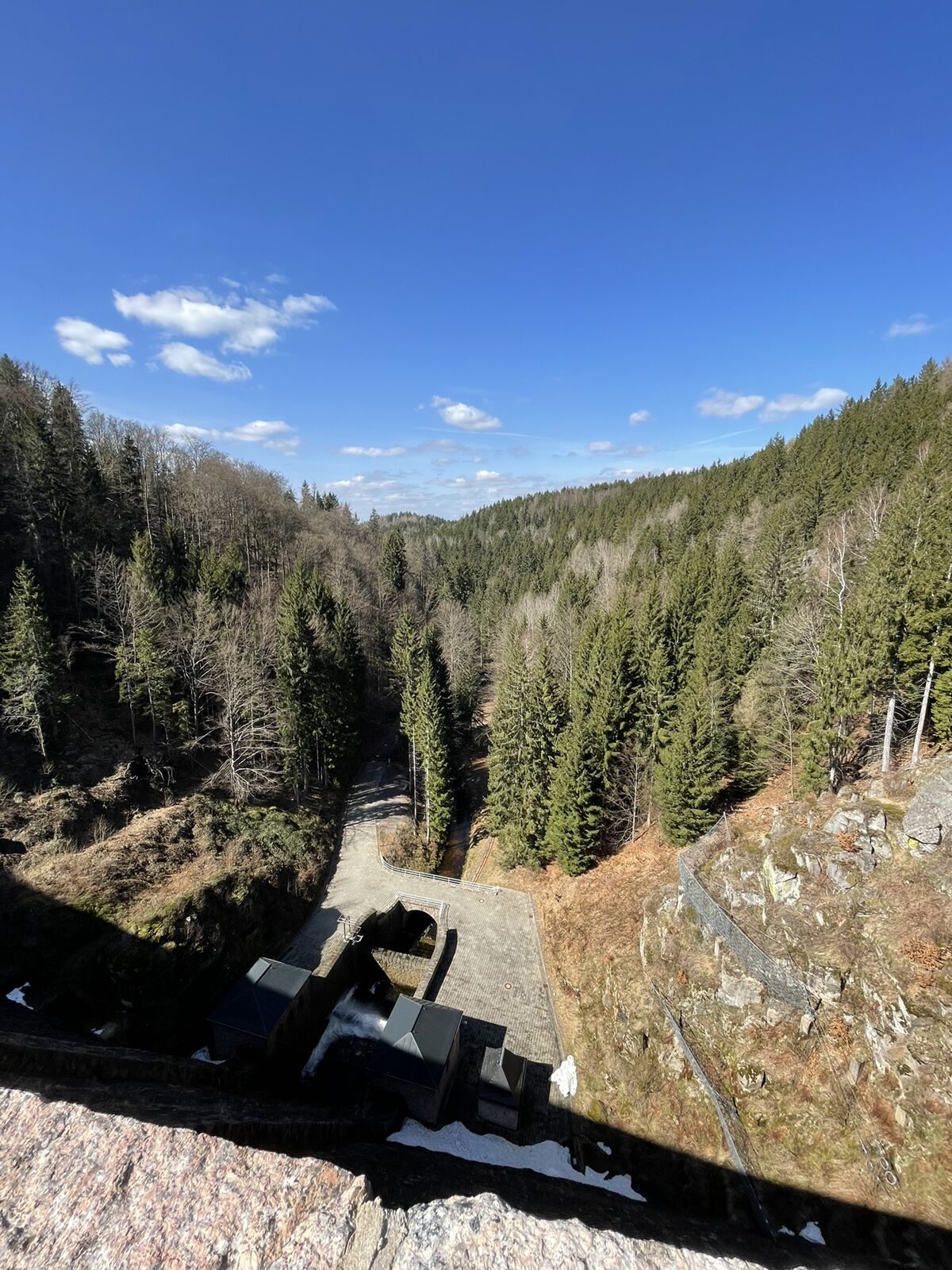
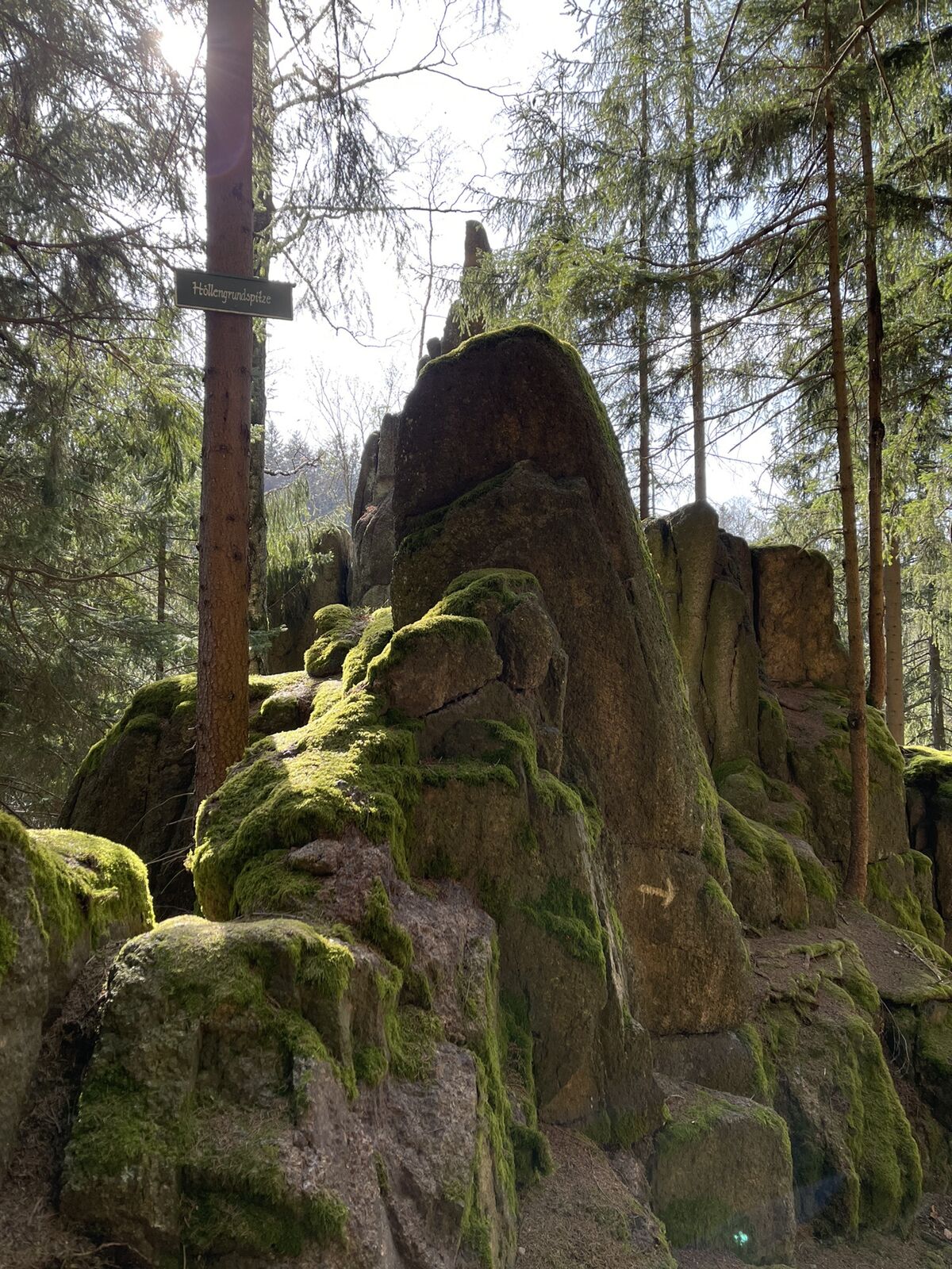
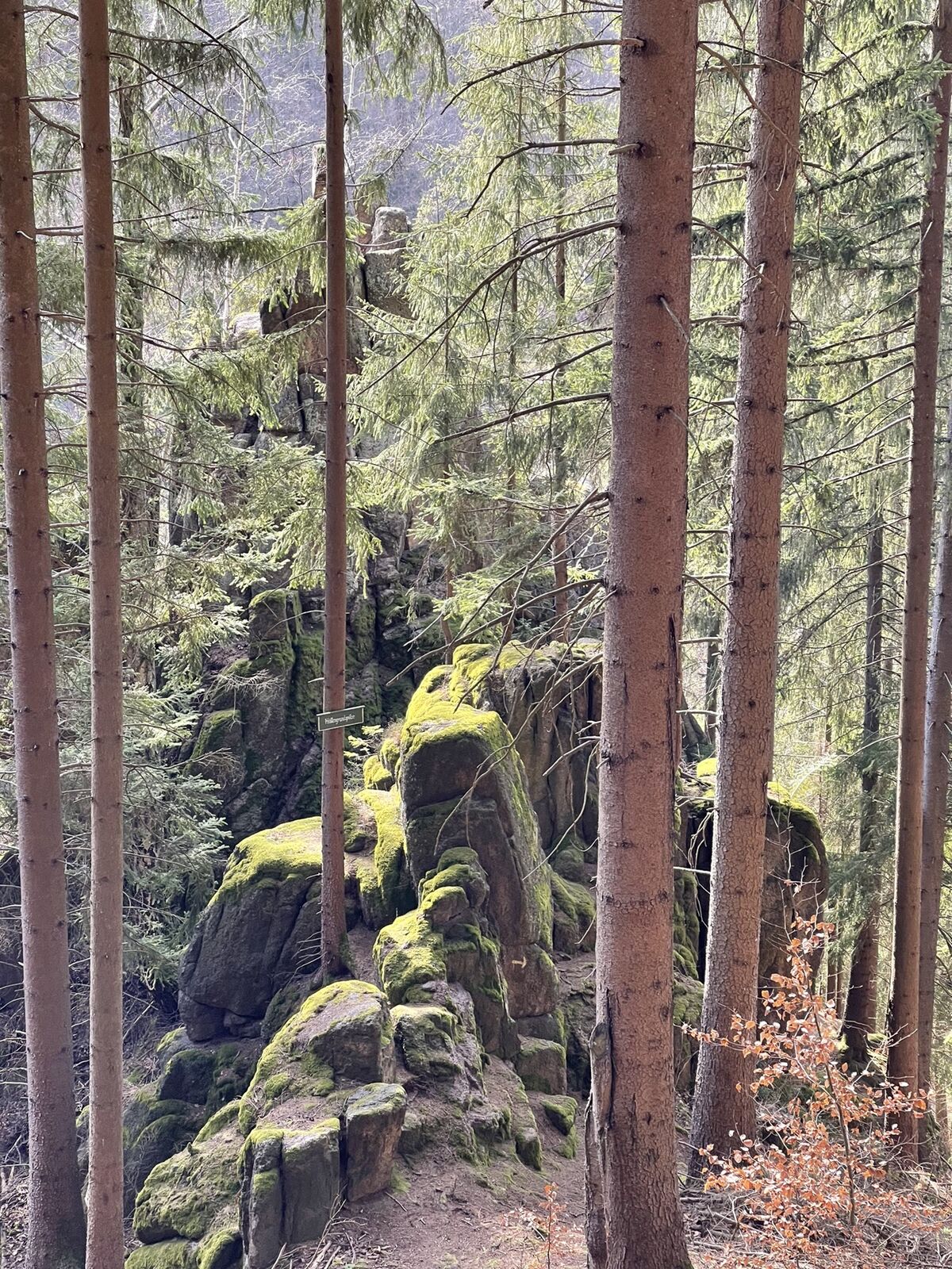
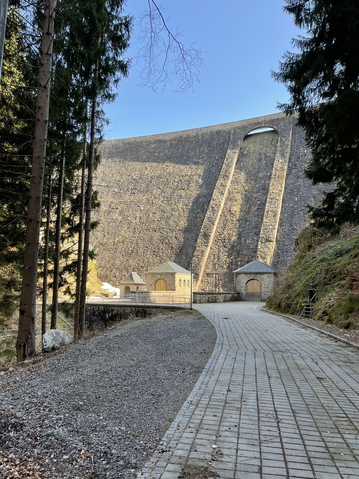
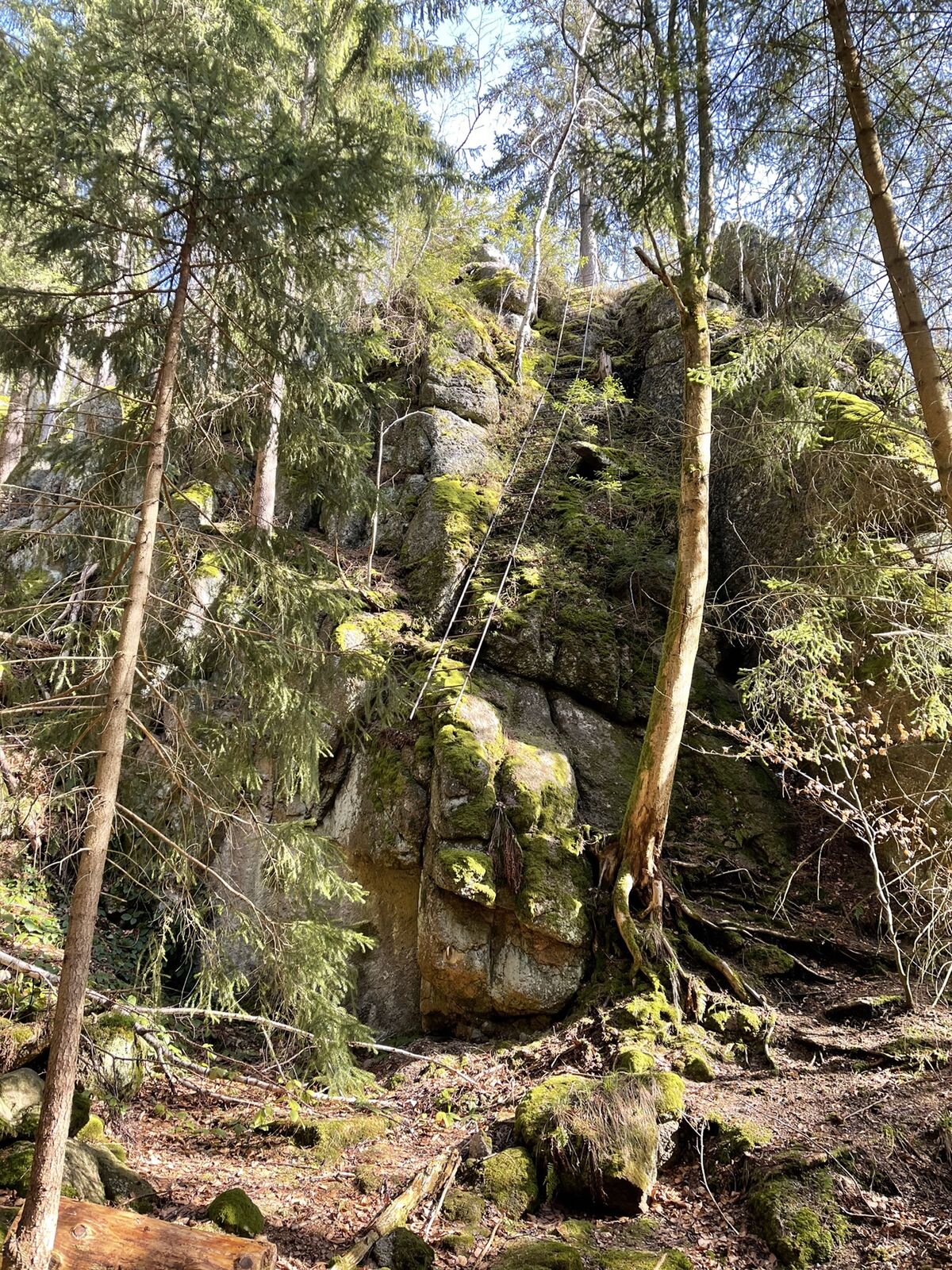
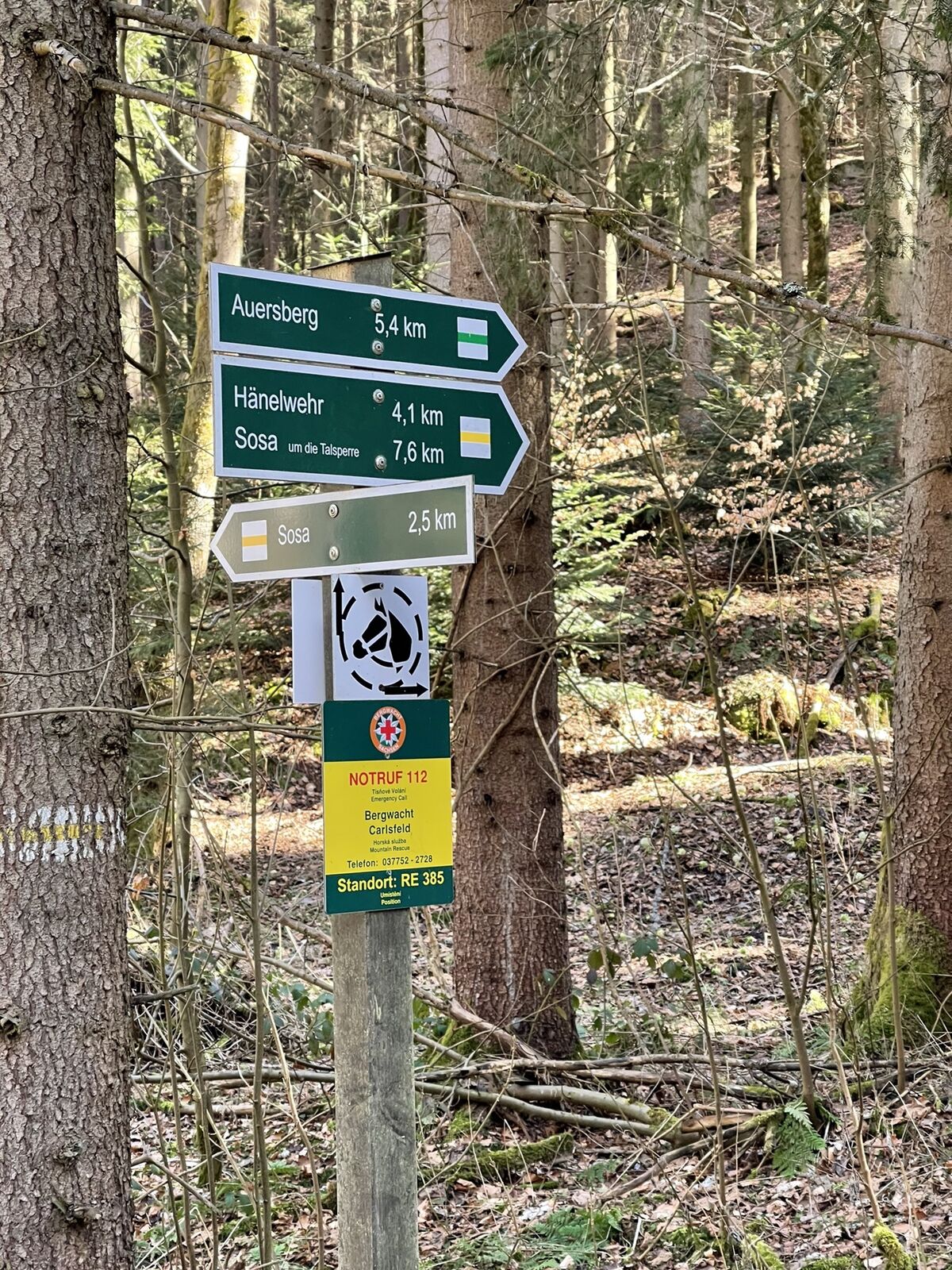
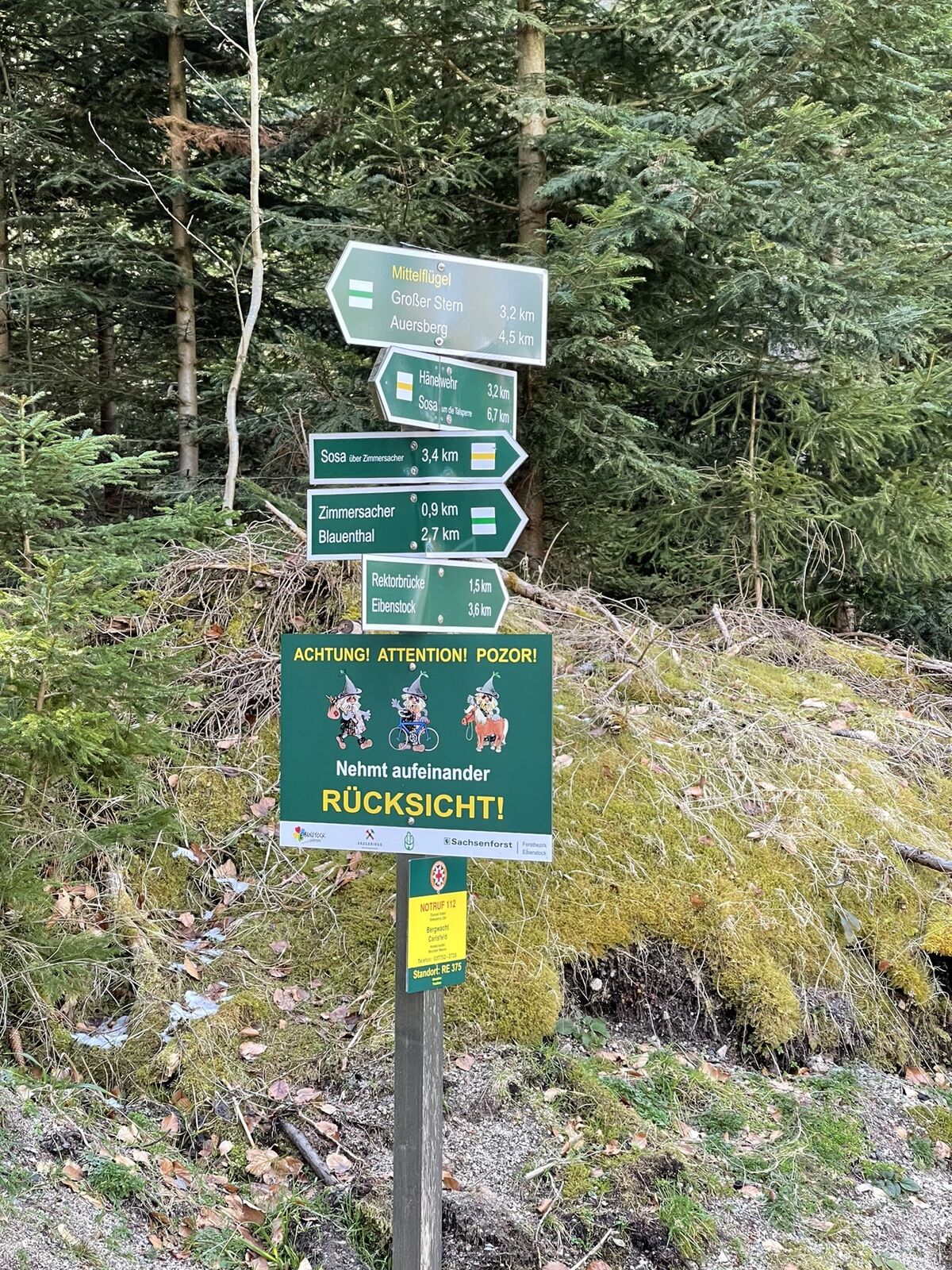
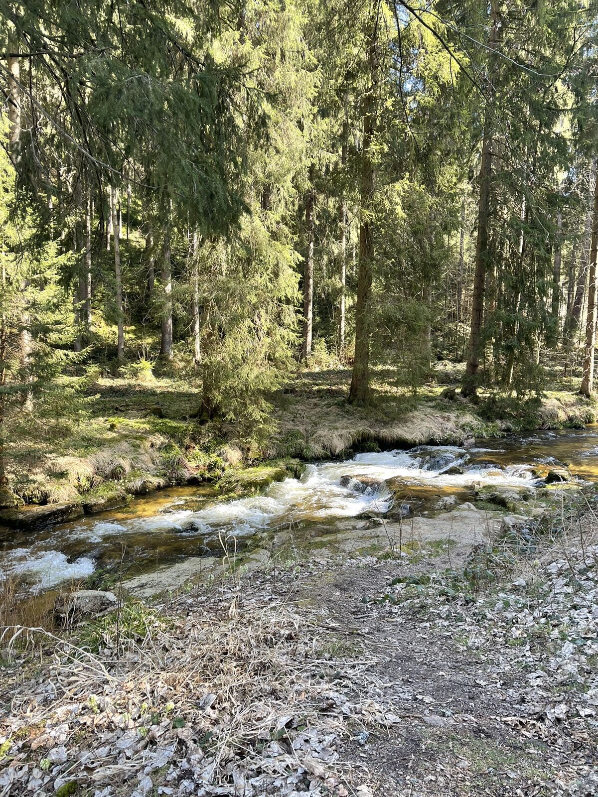
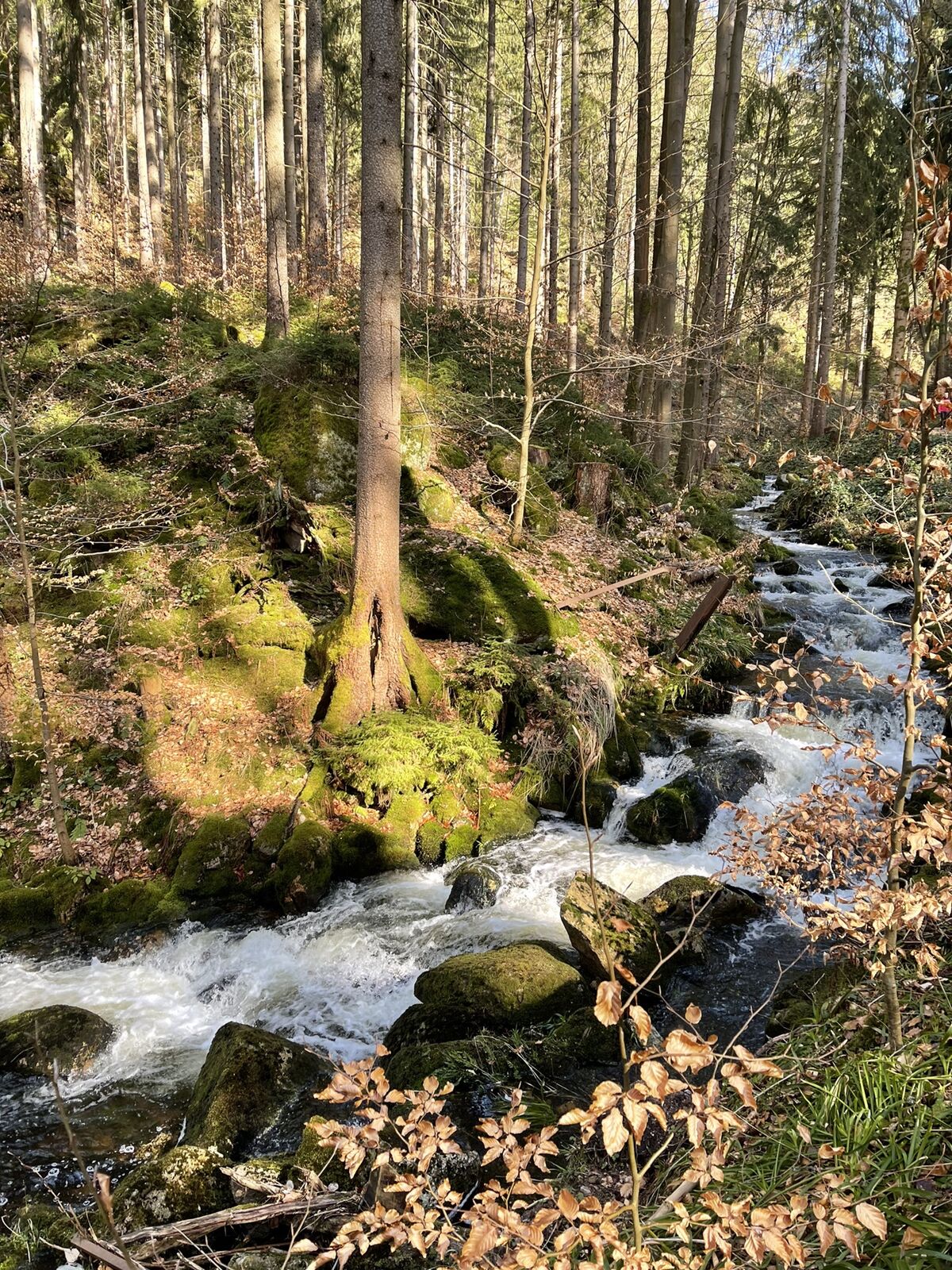
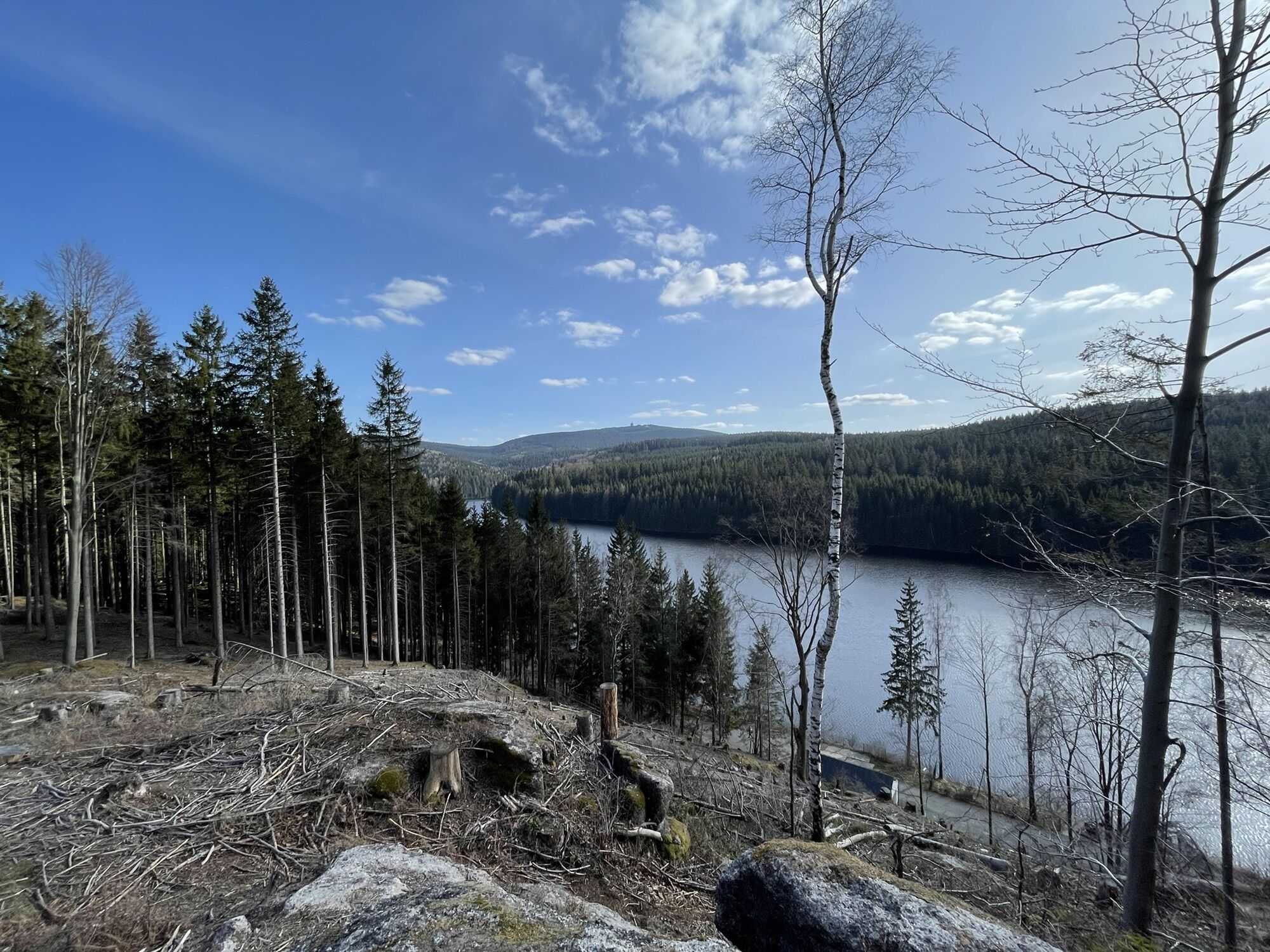
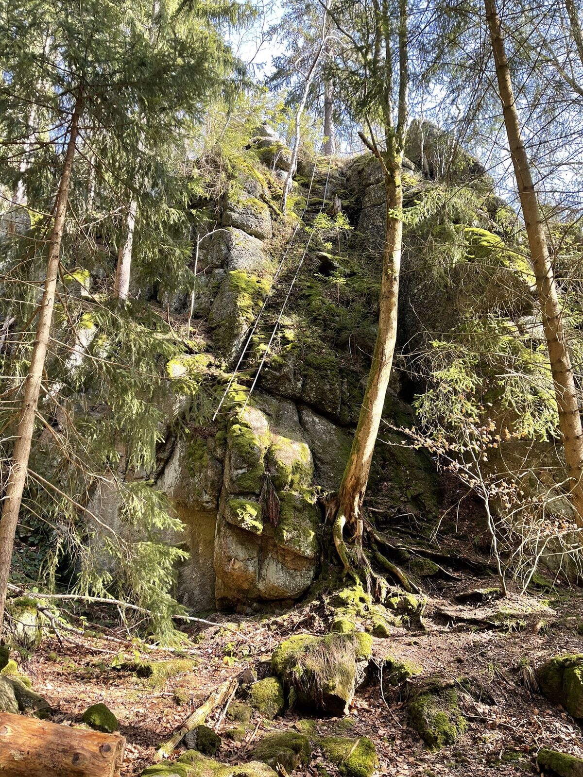
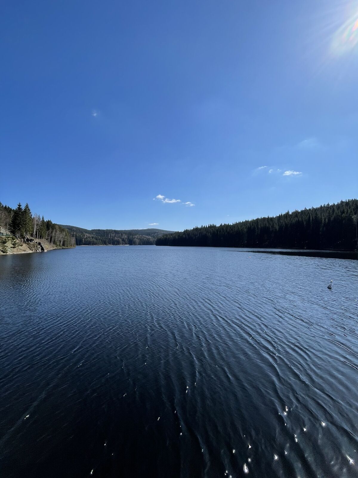
Hinweg über Staumauer
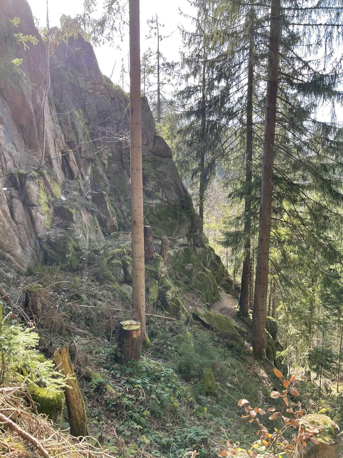
Wanderweg unten an Staumauer sehr steil und unwegsam - Moeilijkheid
-
zwaar
- Waardering
-
- Route
-
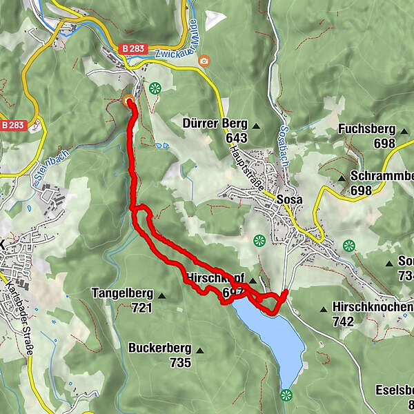
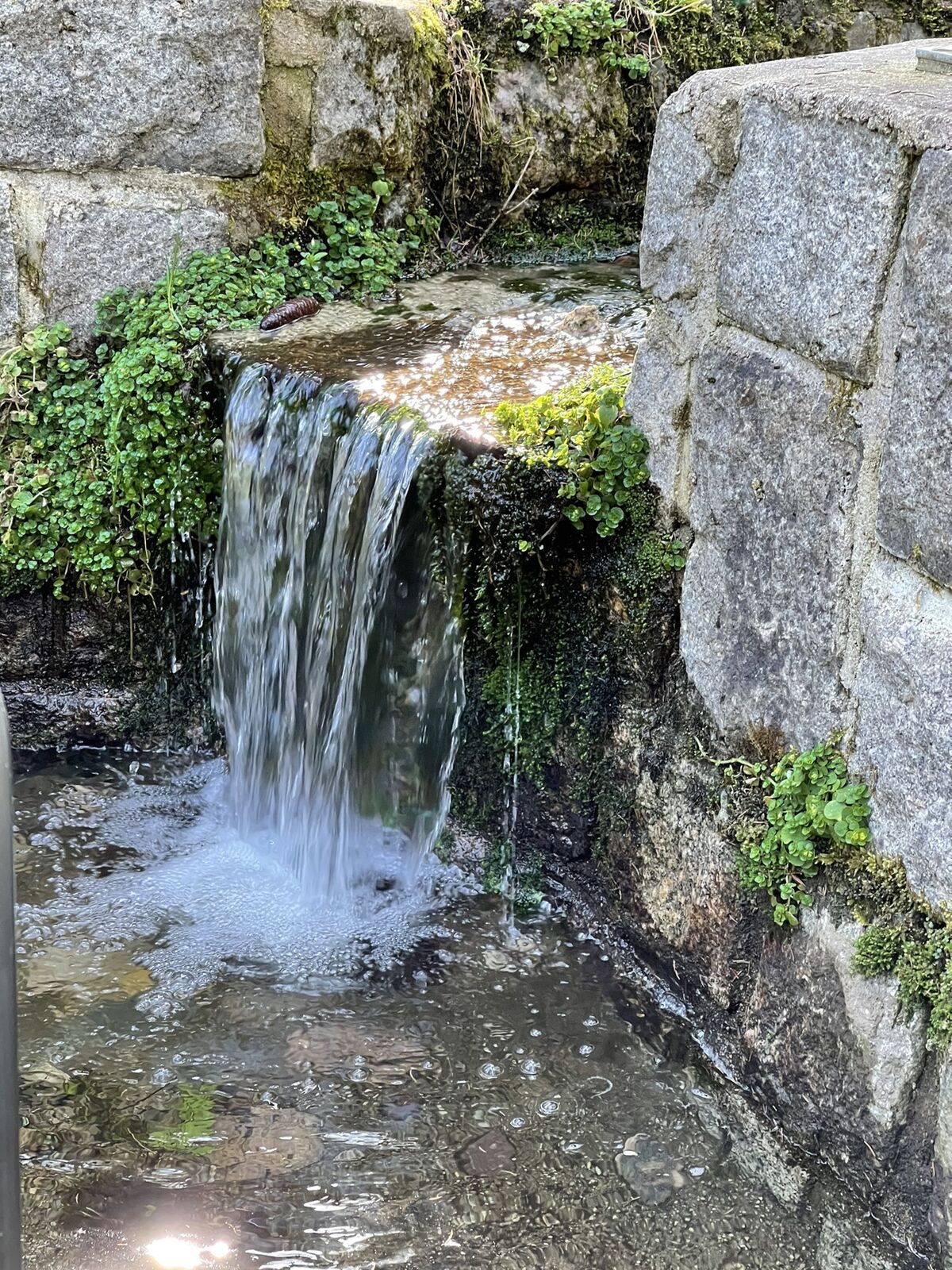
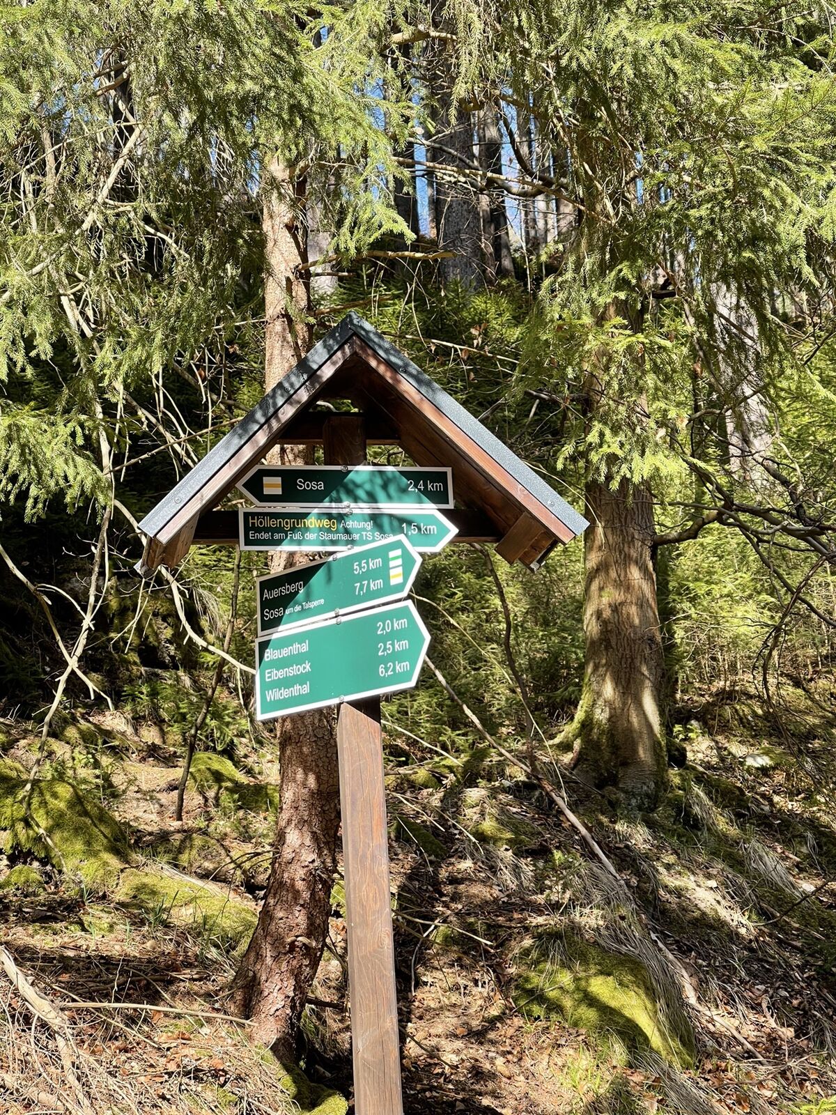
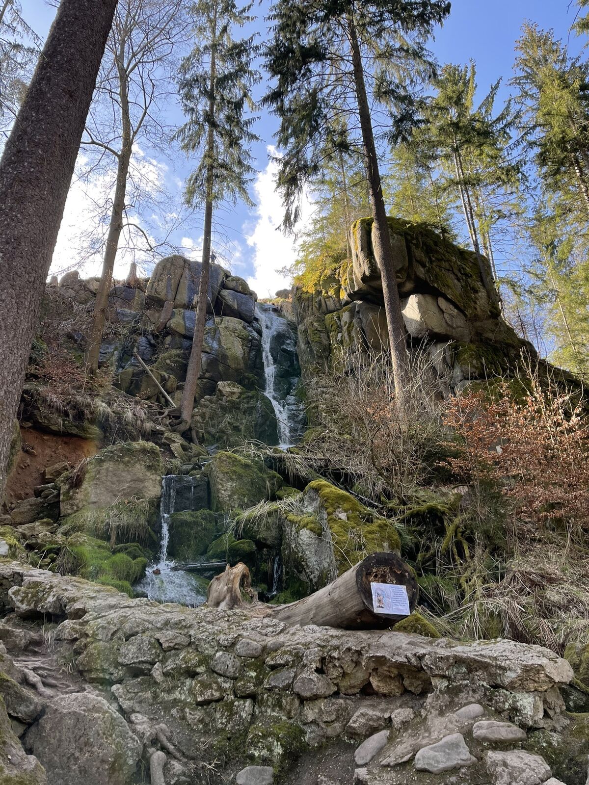
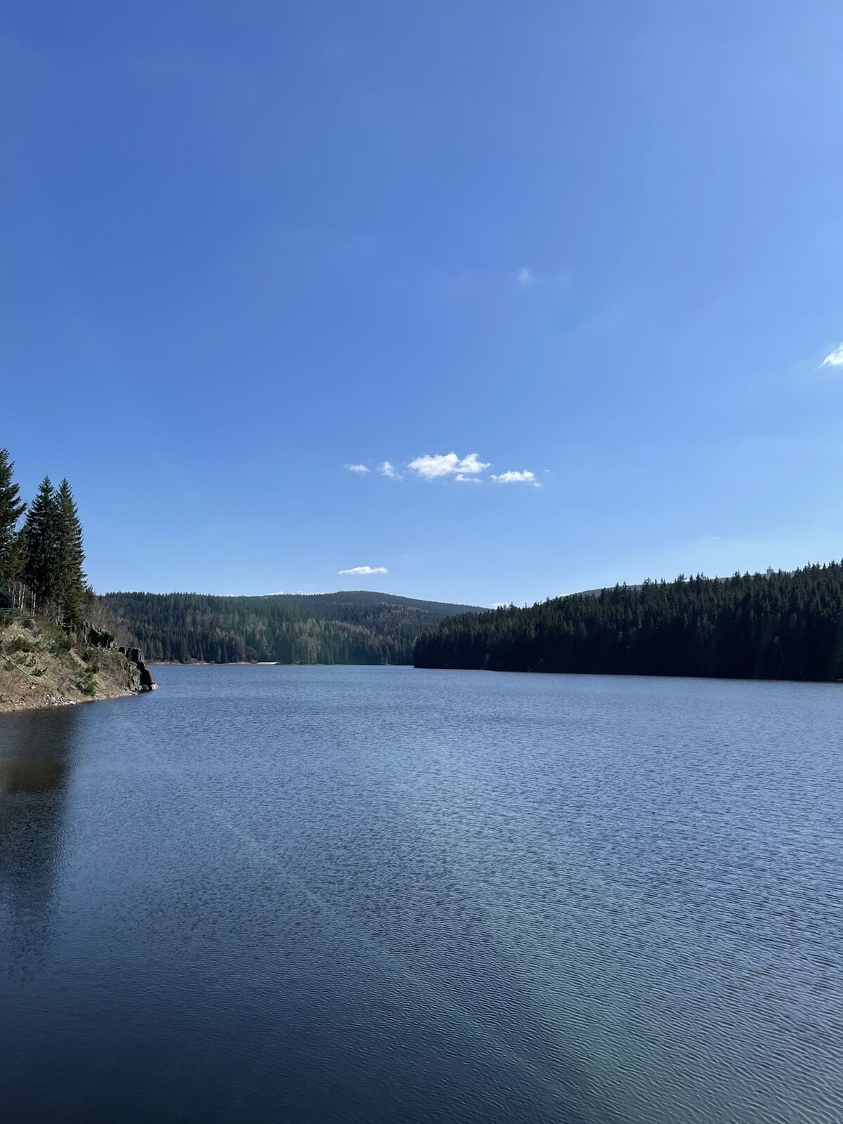
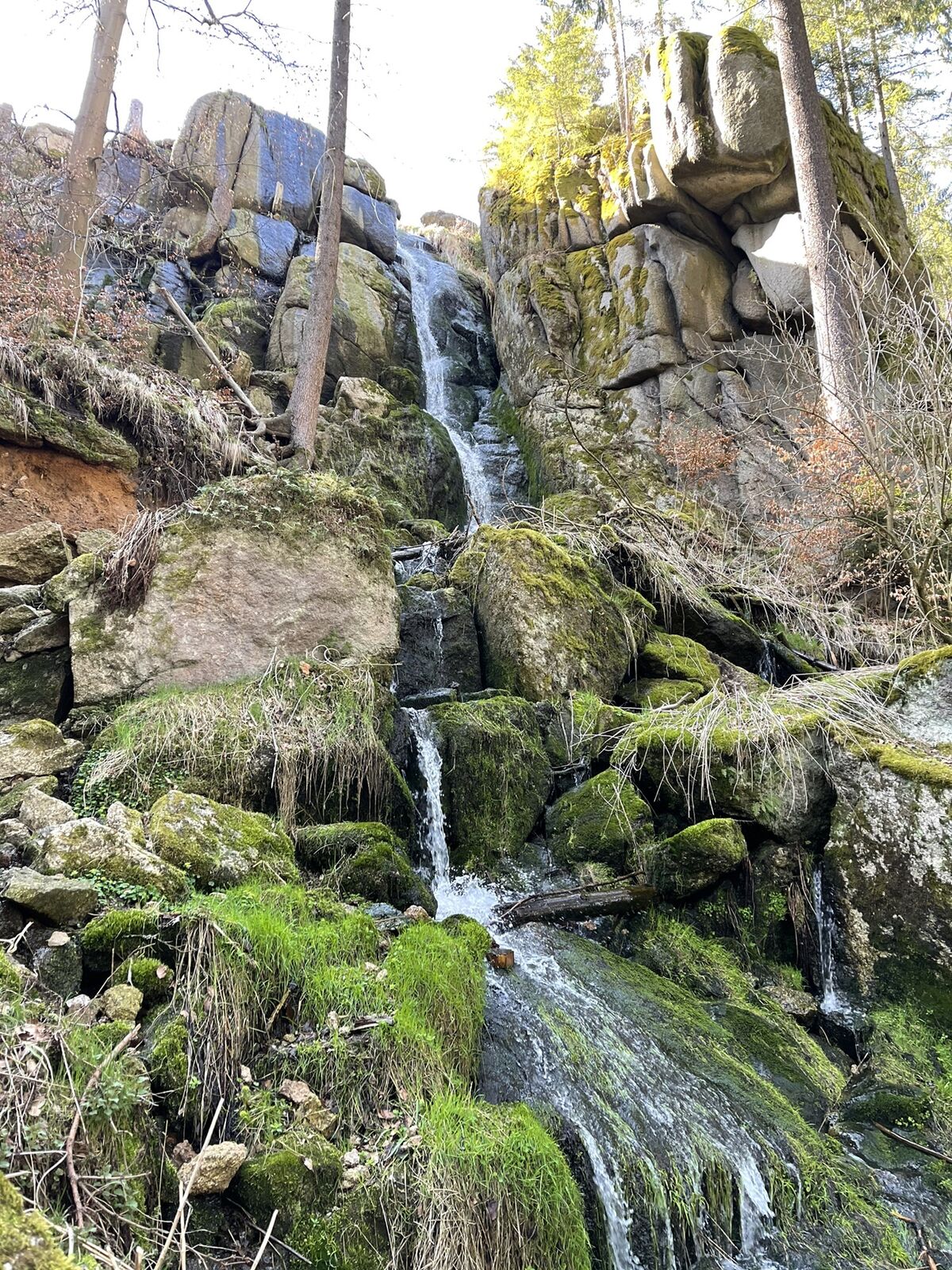
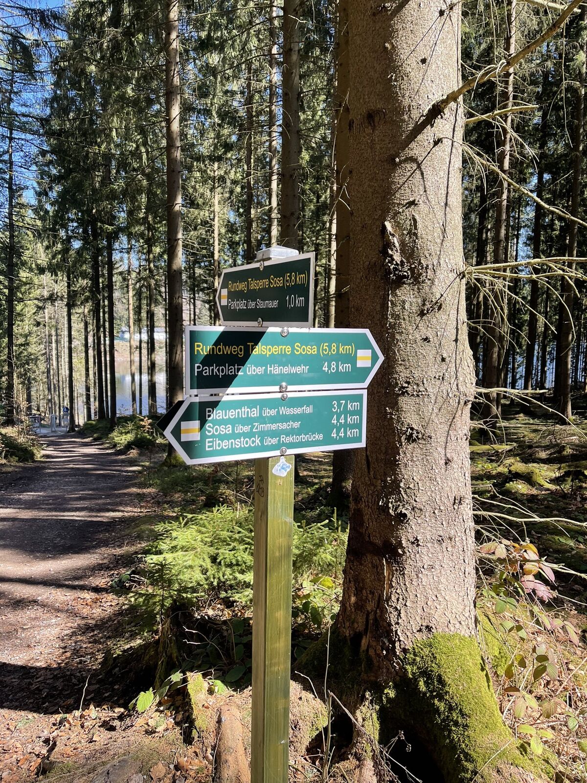
Blauenthaler Wasserfall4,6 kmSeydewitzblick8,5 km
- Maximale hoogte
- 678 m


GPS Downloads


Meer rondleidingen in de regio's
-
Erzgebirge
875
-
Erzgebirge
408
-
Eibenstock
194