© Elbsandsteingebirge Verlag - Ottmar Vetter

© Elbsandsteingebirge Verlag - Ottmar Vetter <a href="http://www.elbsandsteingebirge.de">www.elbsandsteingebirge.de</a>

© Elbsandsteingebirge Verlag - Ottmar Vetter

© Elbsandsteingebirge Verlag - Ottmar Vetter

© Elbsandsteingebirge Verlag - Ottmar Vetter

© Elbsandsteingebirge Verlag - Ottmar Vetter

© Elbsandsteingebirge Verlag - Ottmar Vetter

© Elbsandsteingebirge Verlag - Ottmar Vetter

© Elbsandsteingebirge Verlag - Ottmar Vetter

© Elbsandsteingebirge Verlag - Ottmar Vetter
- Korte beschrijving
-
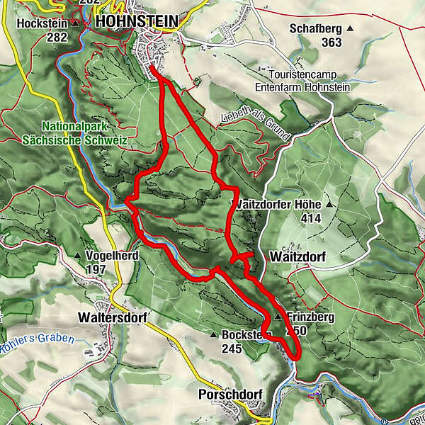
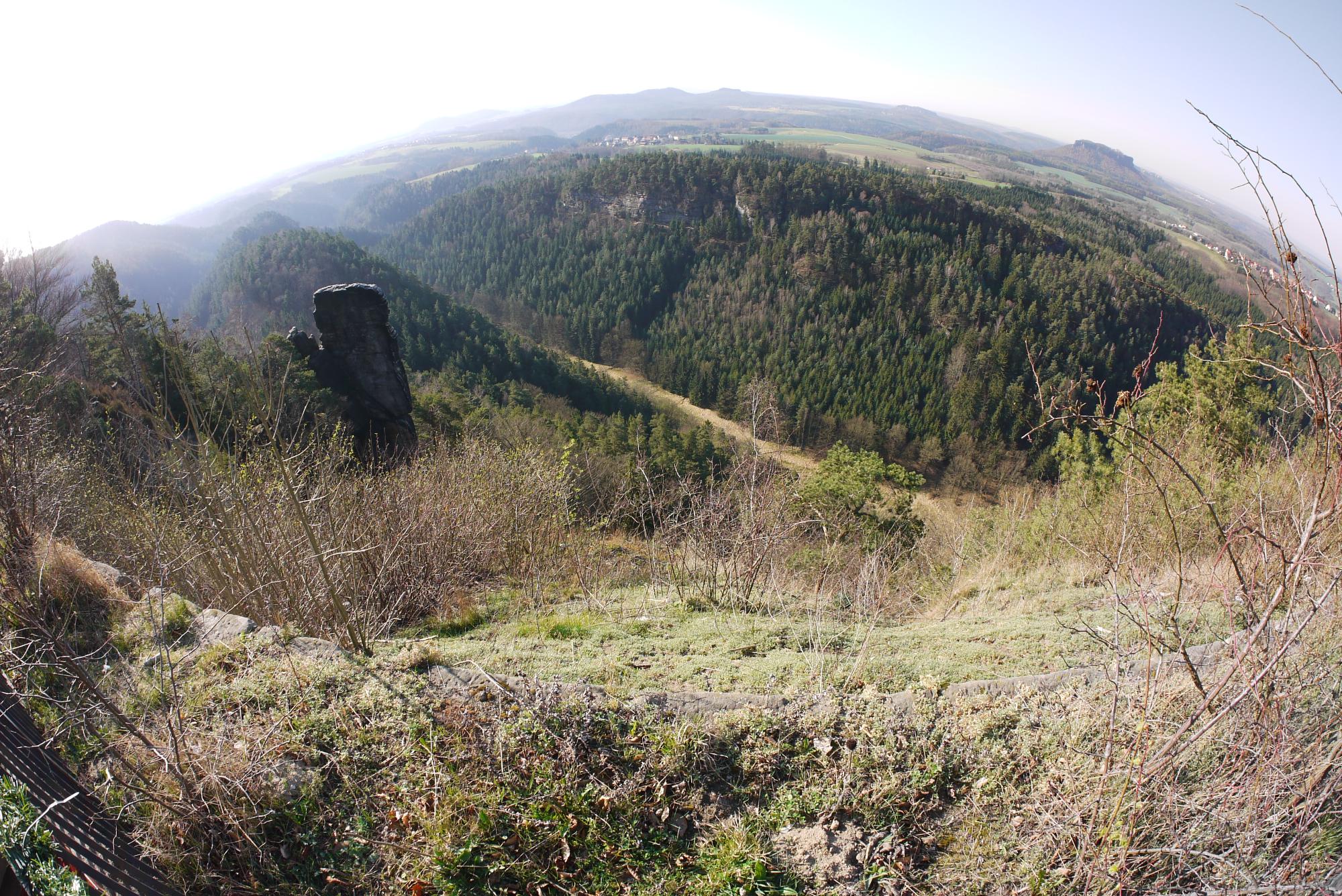
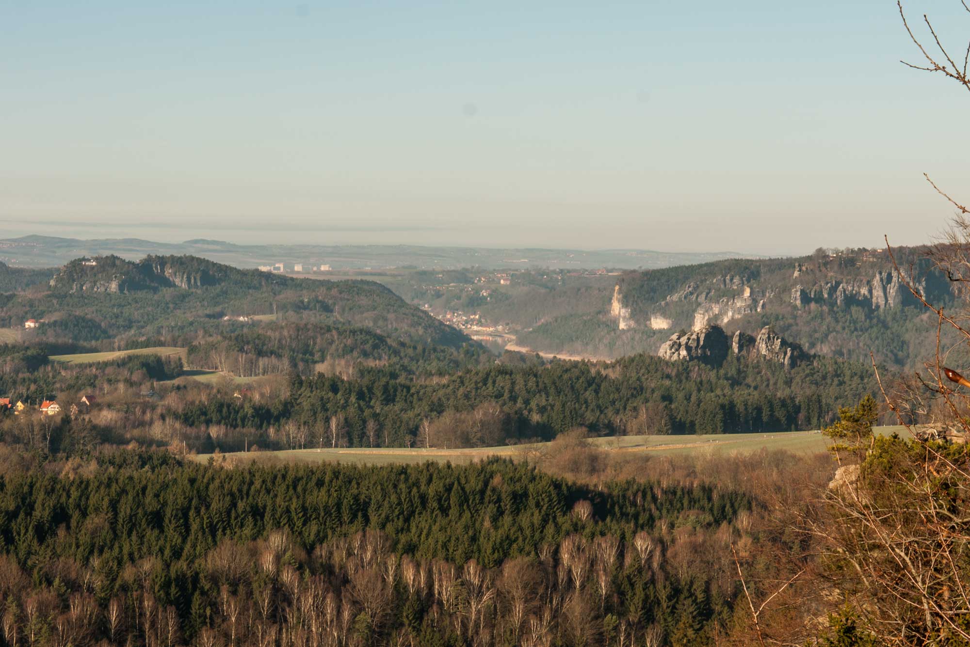
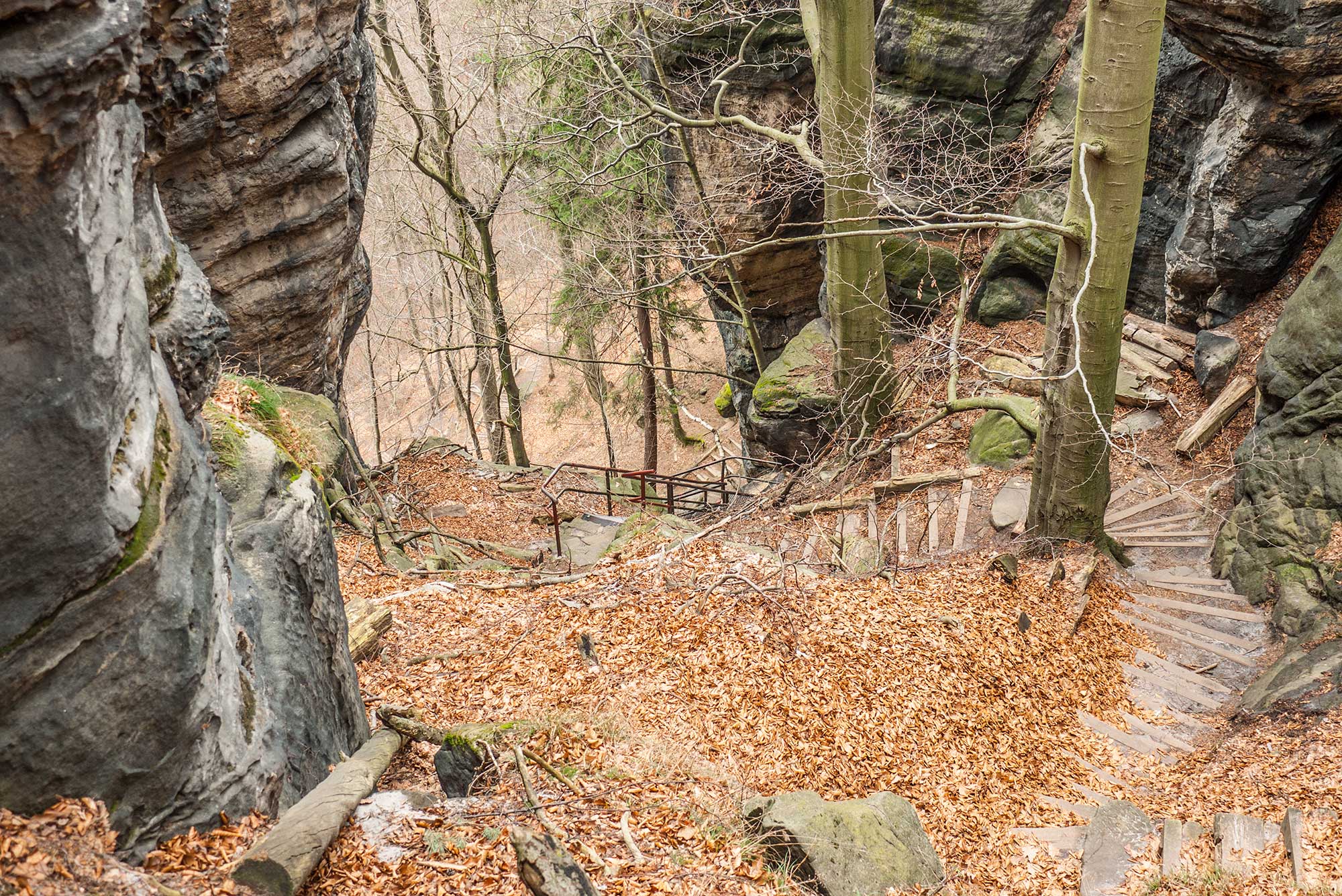
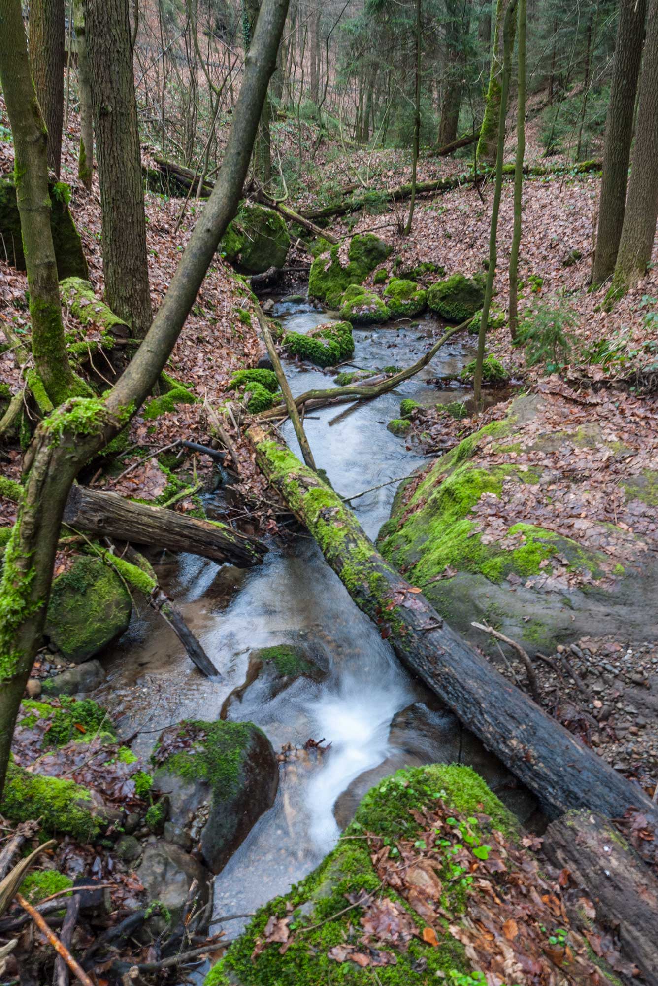
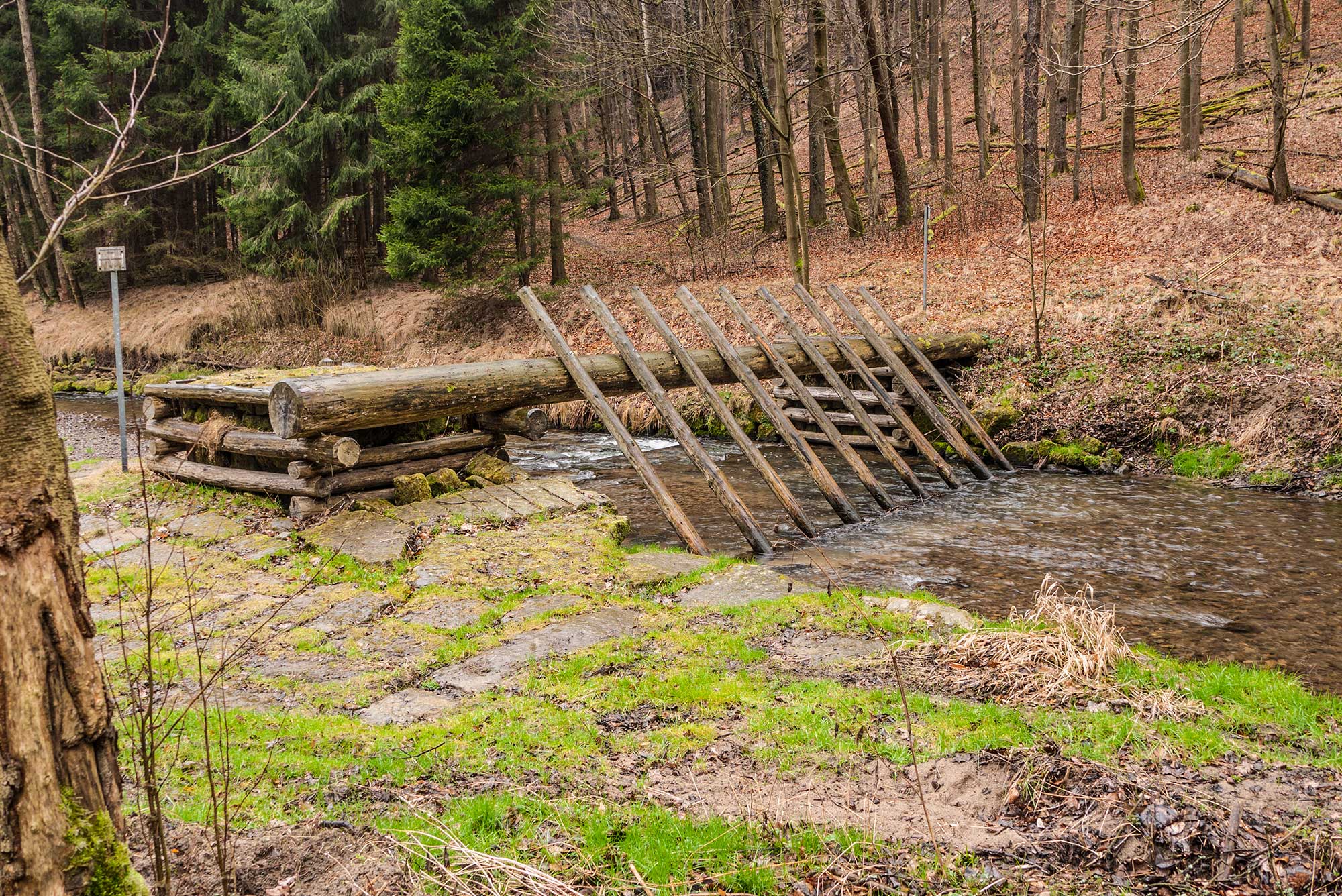
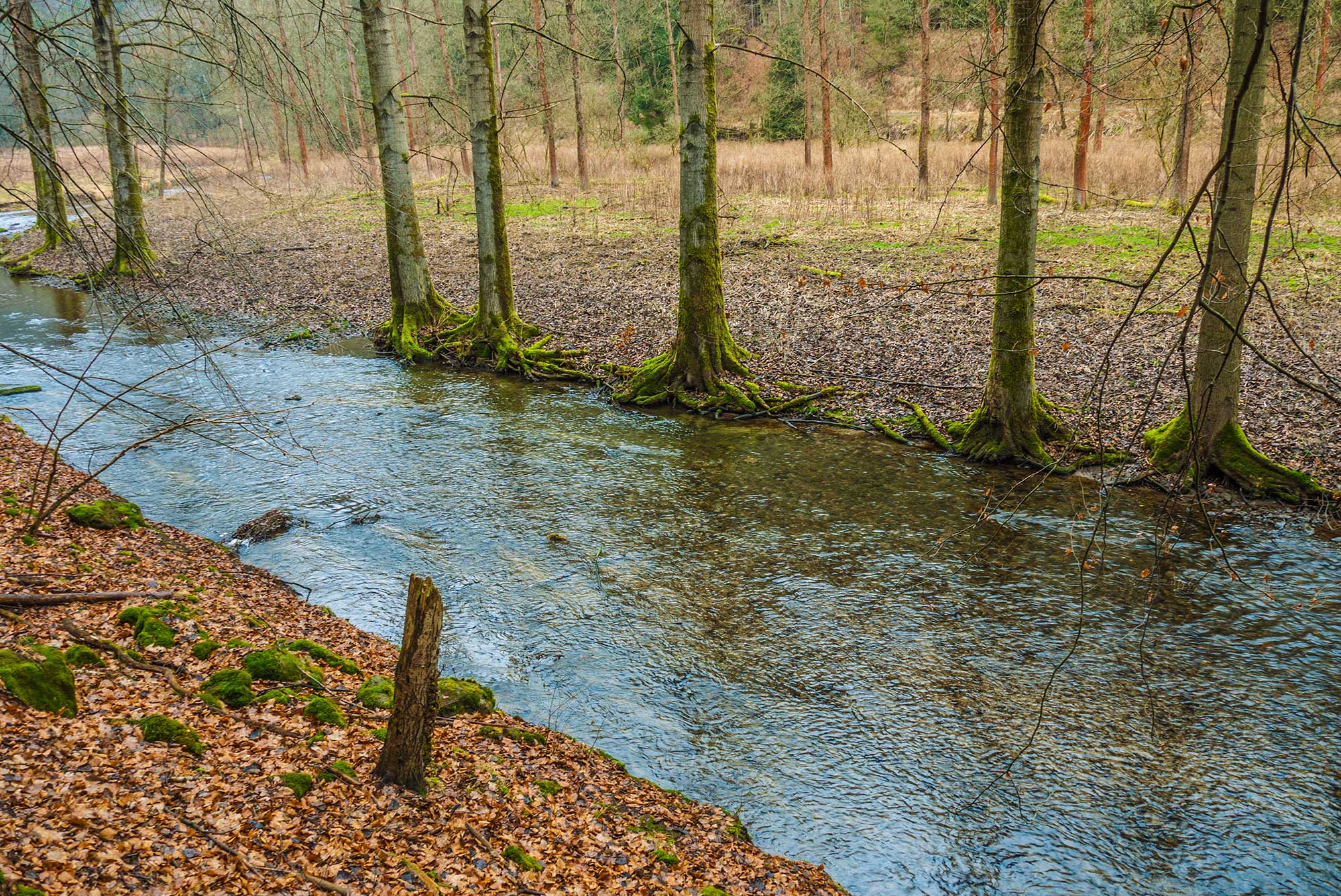
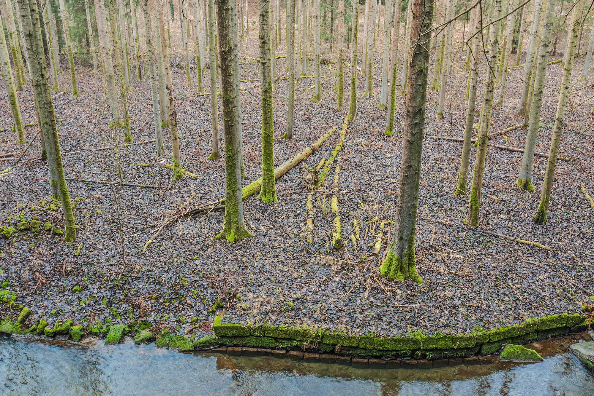
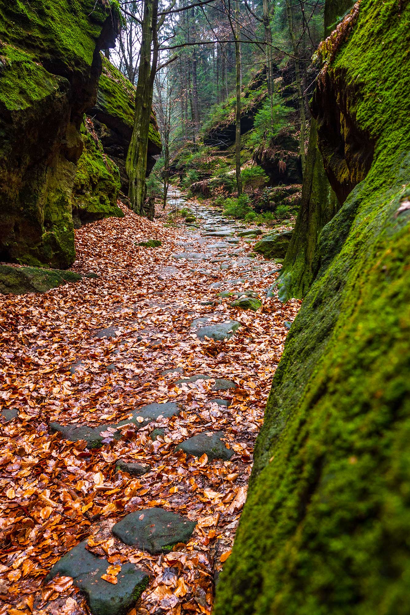
The first part of the hike is on a pedestrian-friendly forest path and leads us to the lookout point Brandaussicht and afterwards over the Brandstufen ladders into the Polenztal valley. The trail in the silent valley Polenztal continues to the mill Waltersdorfer Mühle and over the gorge along the Neuweg trail back to the village Hohnstein.
- Moeilijkheid
-
medium
- Waardering
-
- Route
-
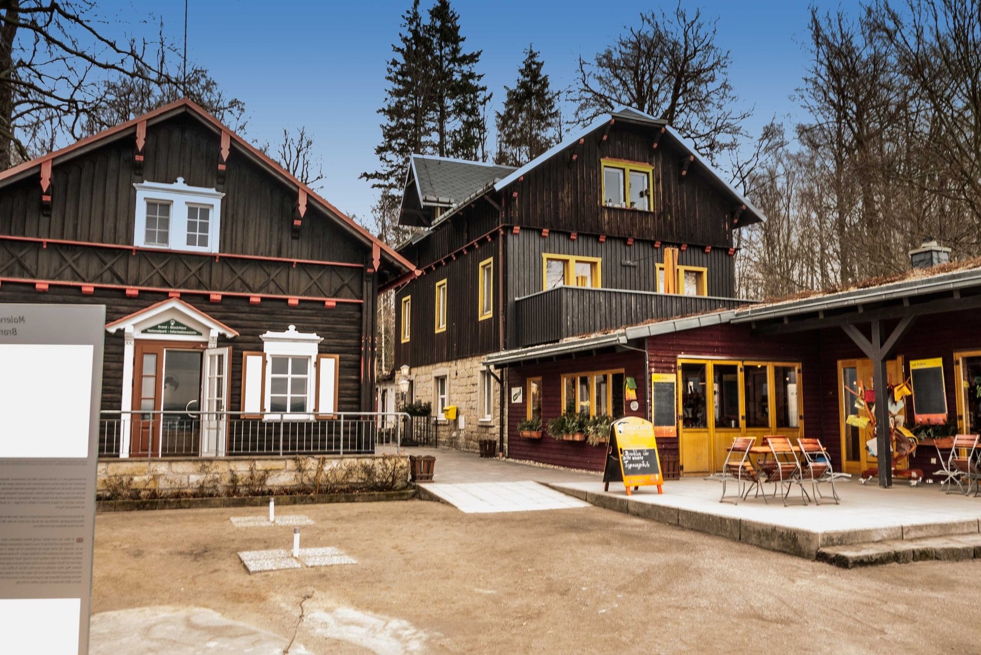
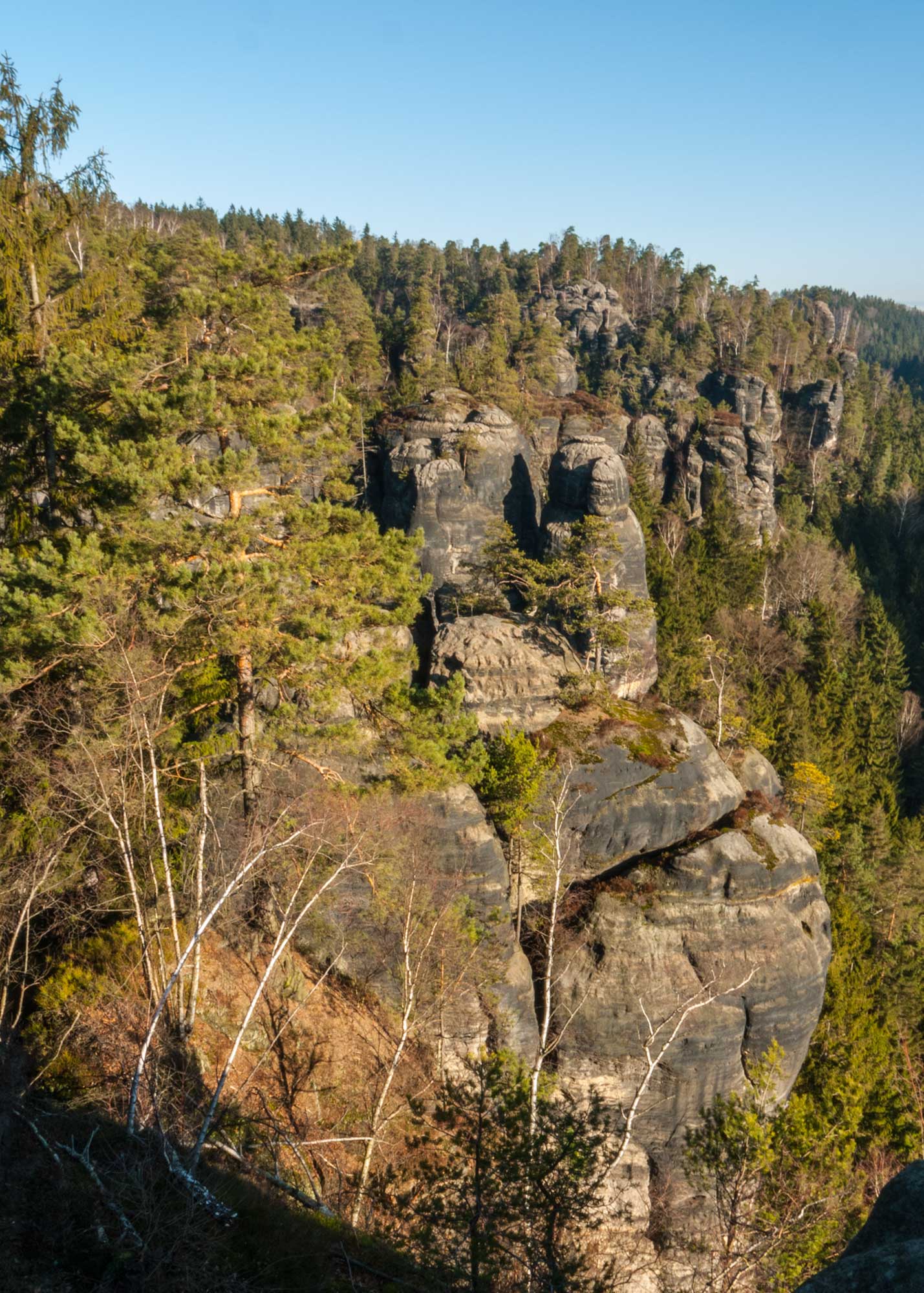
HohnsteinWaldborn0,8 kmBrandaussicht2,9 kmBrand-Baude2,9 kmThümmelgrotte2,9 kmZeigefinger3,1 kmKleine Barbarine3,1 kmAussicht Hafersäcke3,1 kmViermännerturm3,2 kmHexe3,5 kmArchipel9,1 kmKobold9,6 kmNeuwegwand9,9 kmHohnstein11,0 km
- Beste seizoen
-
janfebmrtaprmeijunjulaugsepoktnovdec
- Maximale hoogte
- 357 m
- Bestemming
-
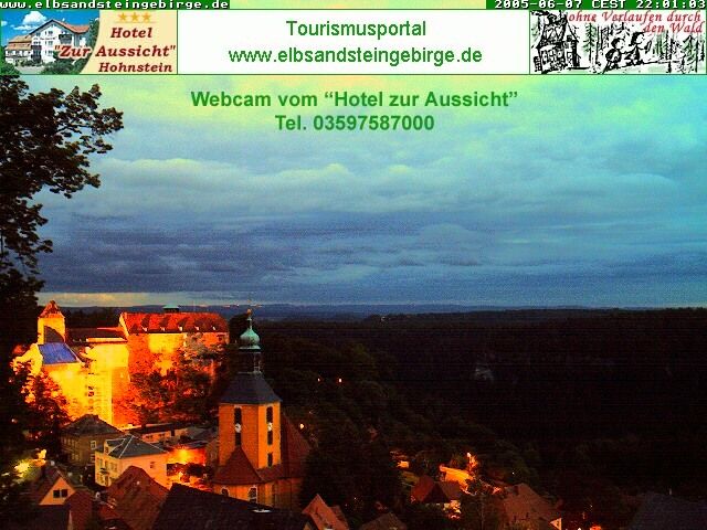
town Hohnstein
- Hoogteprofiel
-
 © outdooractive.com
-

-
AuteurDe rondleiding Brand rock lookout-point and Polenztal valley wordt gebruikt door outdooractive.com op.
GPS Downloads


Algemene info
Verfrissingsstop
Veelbelovend
Meer rondleidingen in de regio's
-
Sächsische Schweiz
1407
-
Westlausitz
452
-
Hohnstein
500