- Korte beschrijving
-
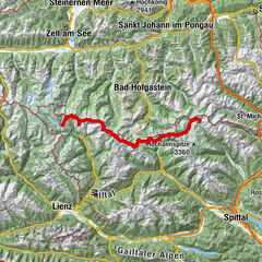
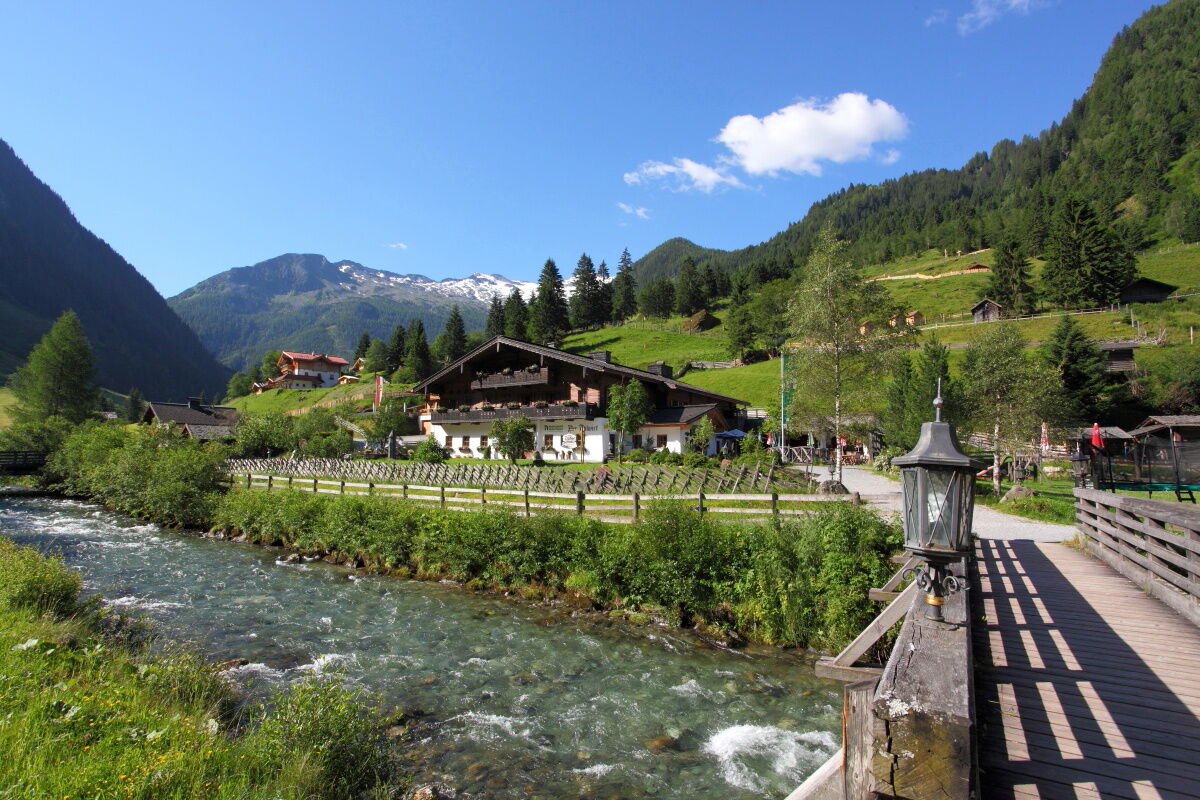
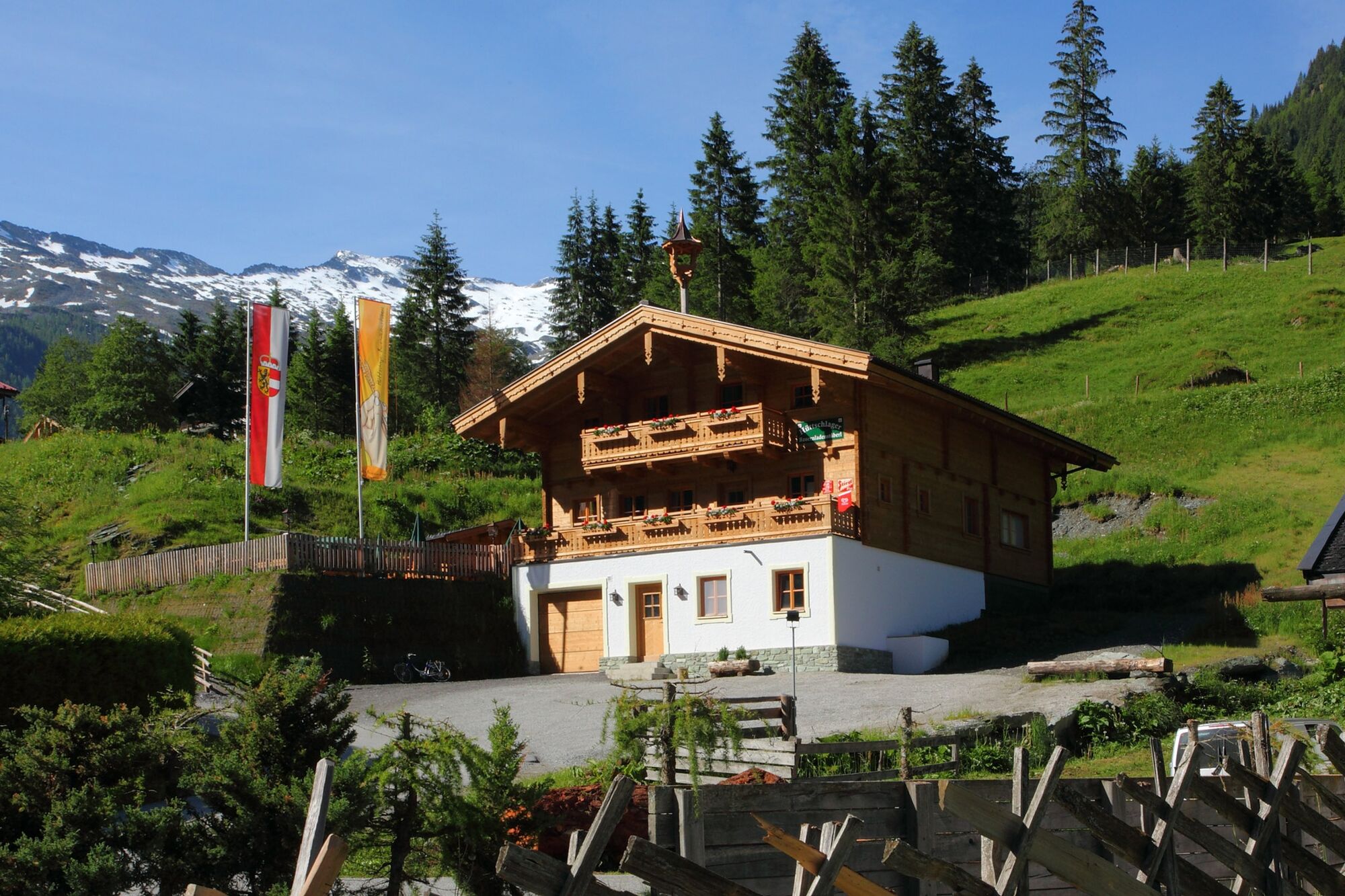
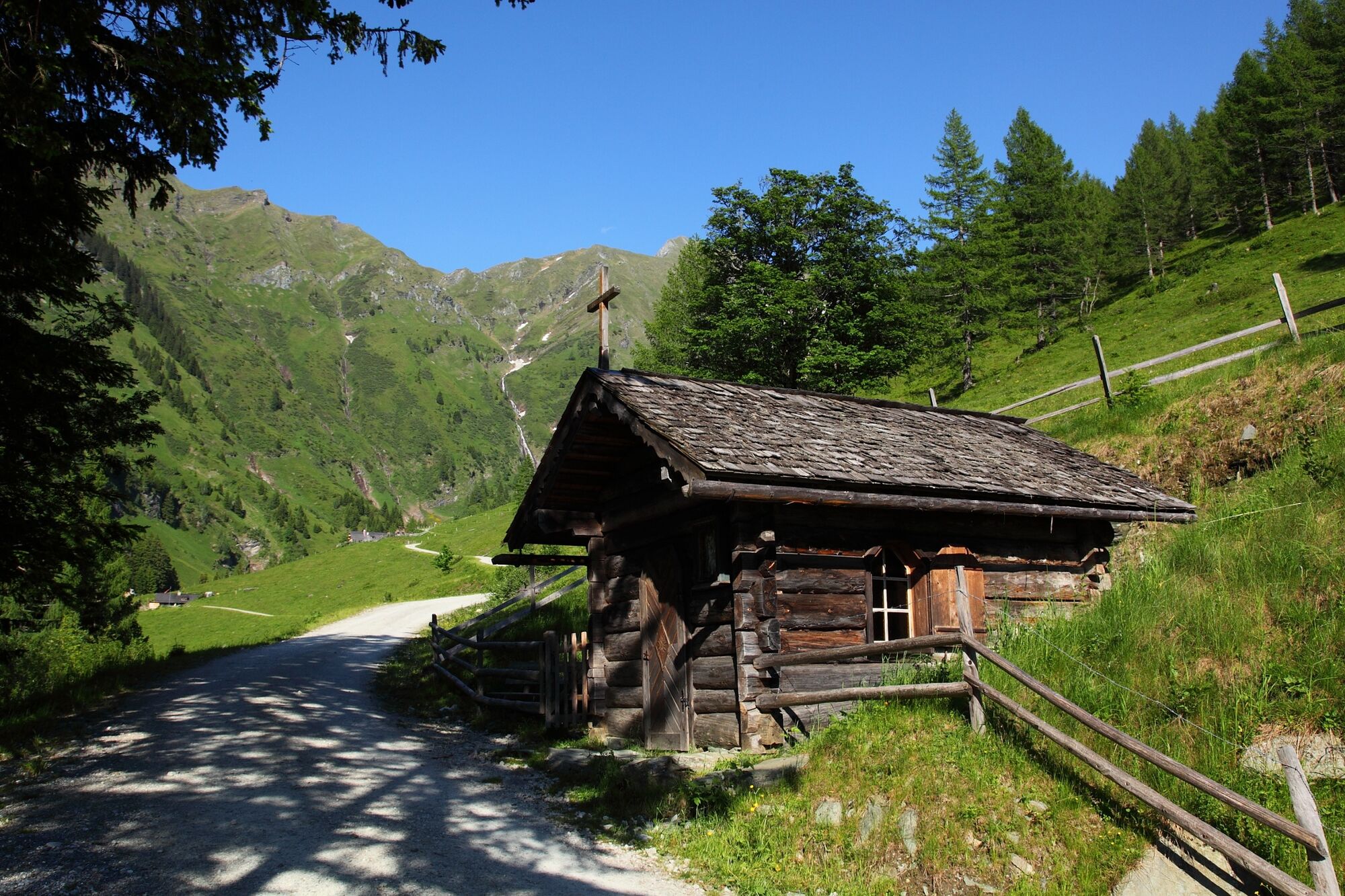
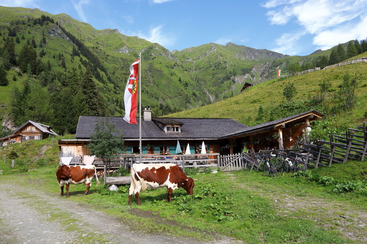
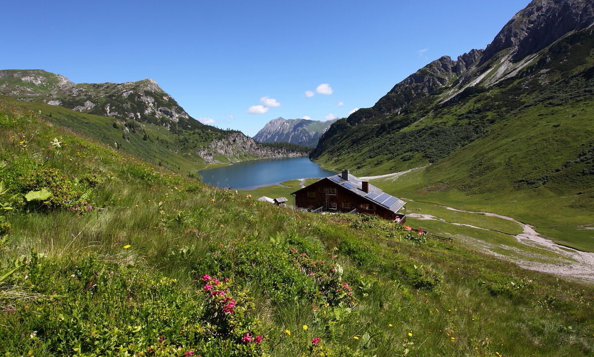
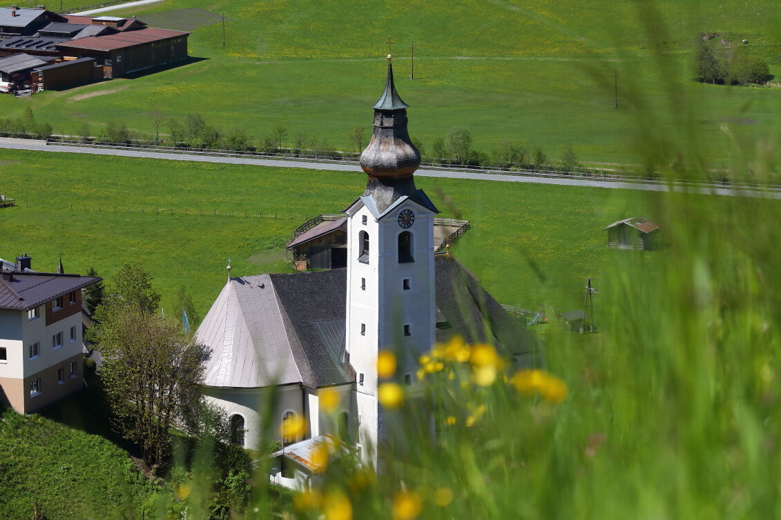
From the end of the valley in Hüttschlag, this hike takes you over the Tappenkarsee and the Bichlalm to the village center to Grossarl.
- Moeilijkheid
-
zwaar
- Waardering
-
- Route
-
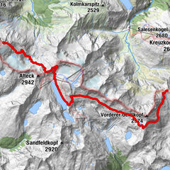
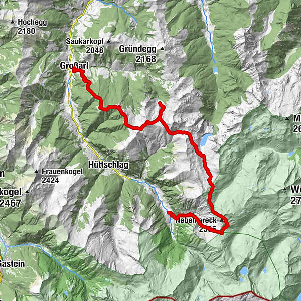
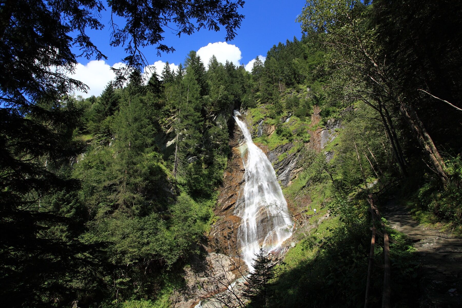
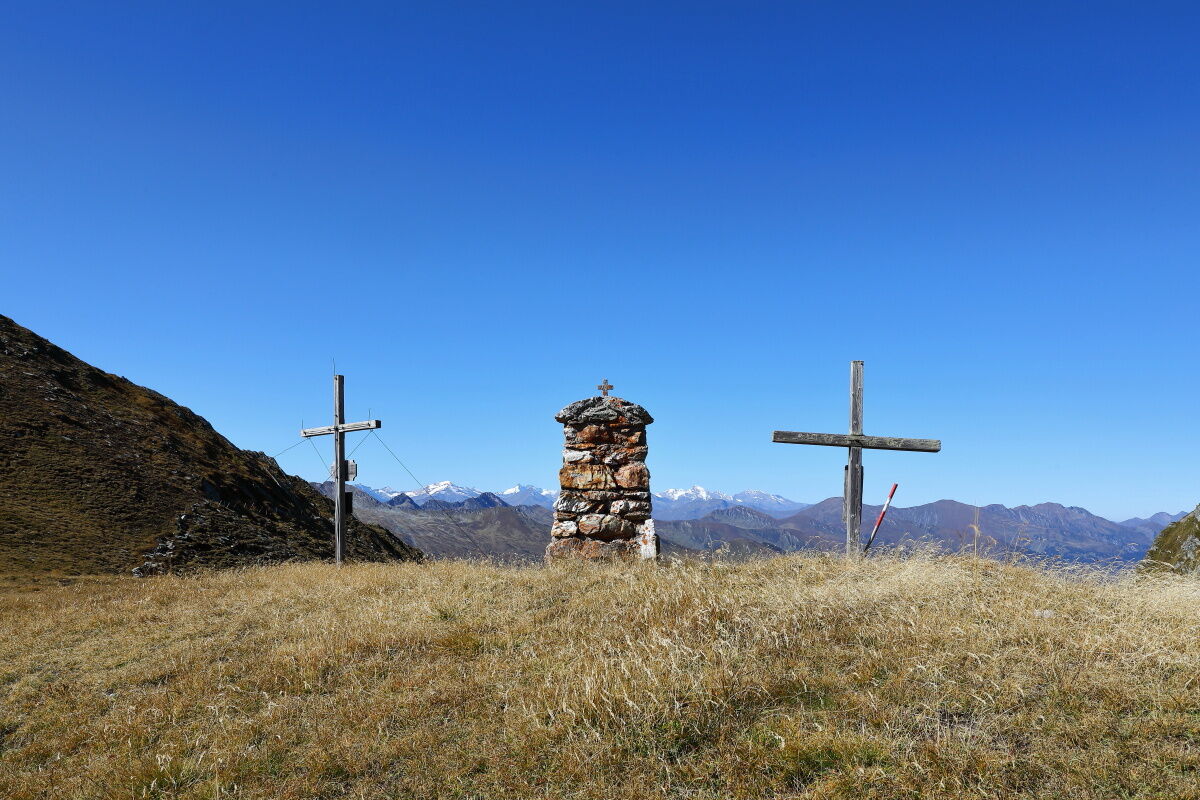
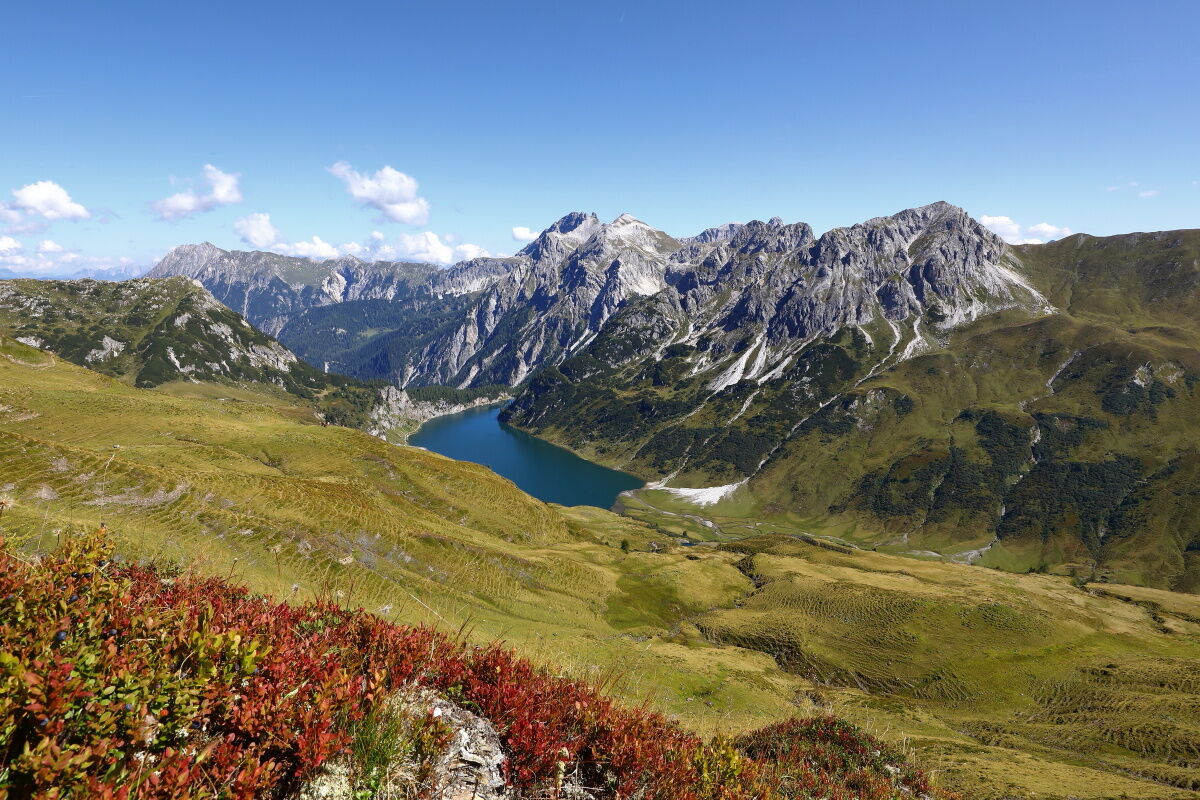
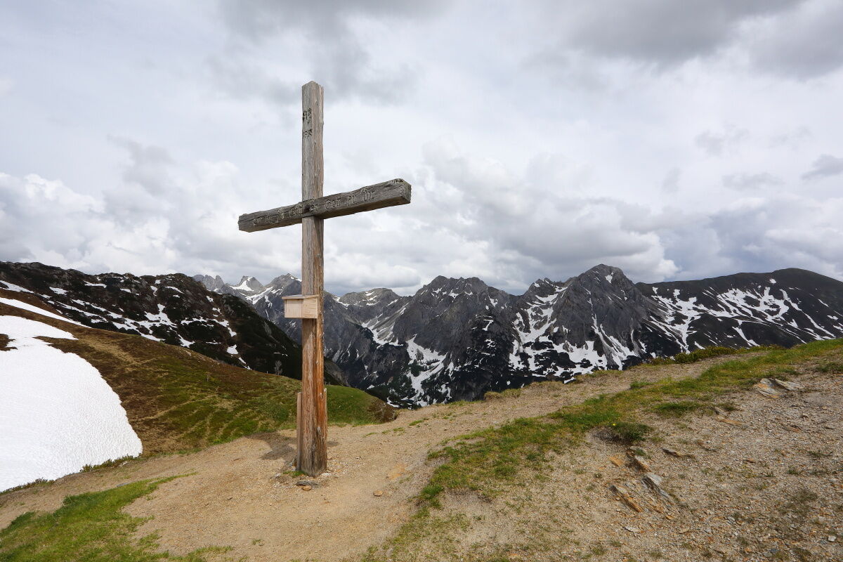
Kreealm-Wasserfall0,4 kmKreealm Kreehüte2,1 kmKreealm2,6 kmKreealm Bichlhütte2,7 kmNebelkarscharte (2.453 m)6,8 kmWasserfallscharte (2.183 m)7,6 kmTappenkarseehütte12,6 kmFilzmooshörndl (2.189 m)20,8 kmGroßer Himmel (2.133 m)21,2 kmRemsteinkopf (1.946 m)24,1 kmBichlalm25,8 kmPfarrkirche Großarl30,7 kmGroßarl30,7 km
- Beste seizoen
-
janfebmrtaprmeijunjulaugsepoktnovdec
- Maximale hoogte
- 2.432 m
- Bestemming
-
Grossarl - village center
- Hoogteprofiel
-


- Auteur
-
De rondleiding Grossarltal: 3-days-hiking-tour from Murtörl to Grossarl wordt gebruikt door outdooractive.com op.
GPS Downloads


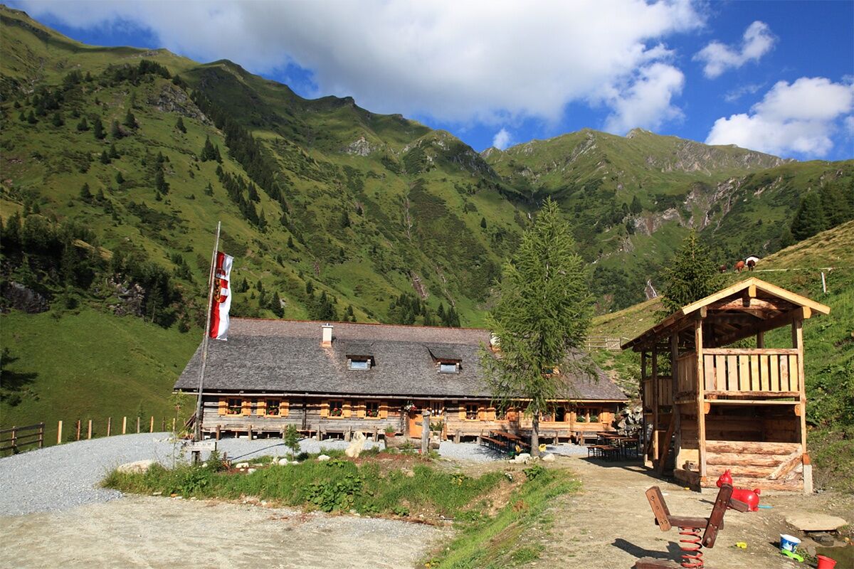
Algemene info
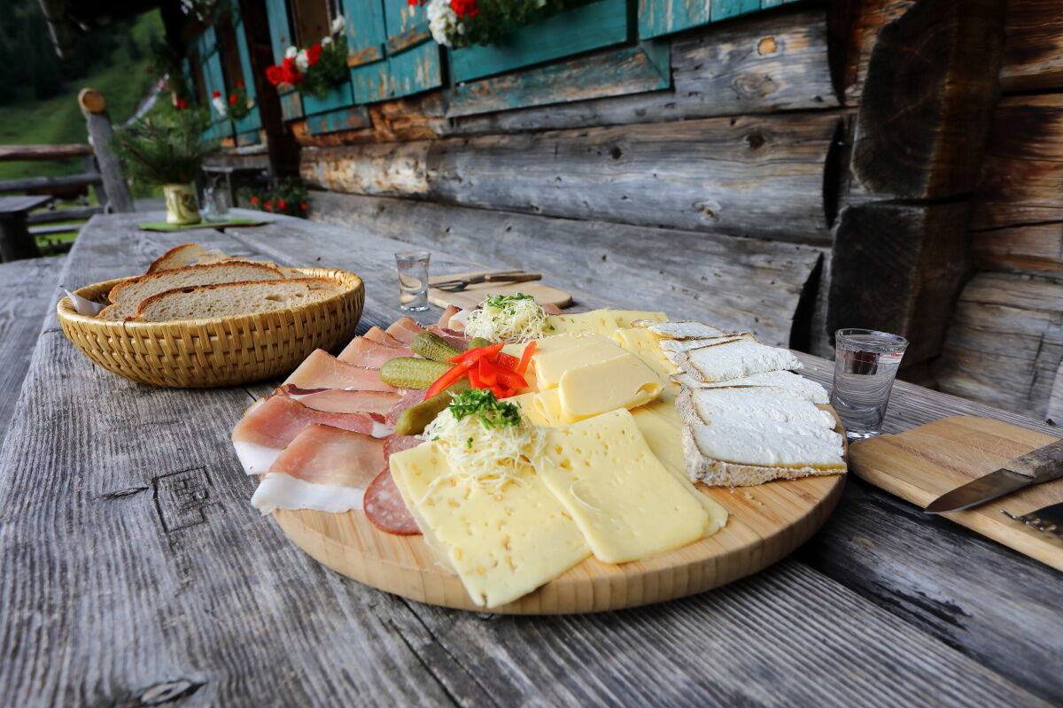
Verfrissingsstop
Tip voor insiders
Veelbelovend
Meer rondleidingen in de regio's
-
Katschberg Lieser-Maltatal
2574
-
Großarltal
2171
-
Hüttschlag
852