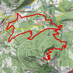
© SalzburgerLand - Erwin Haiden


© Salzburger Saalachtal Tourismus - Salzburger Saalachtal


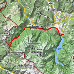
© Berchtesgadener Land
- Korte beschrijving
-
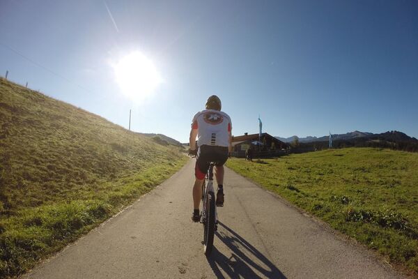
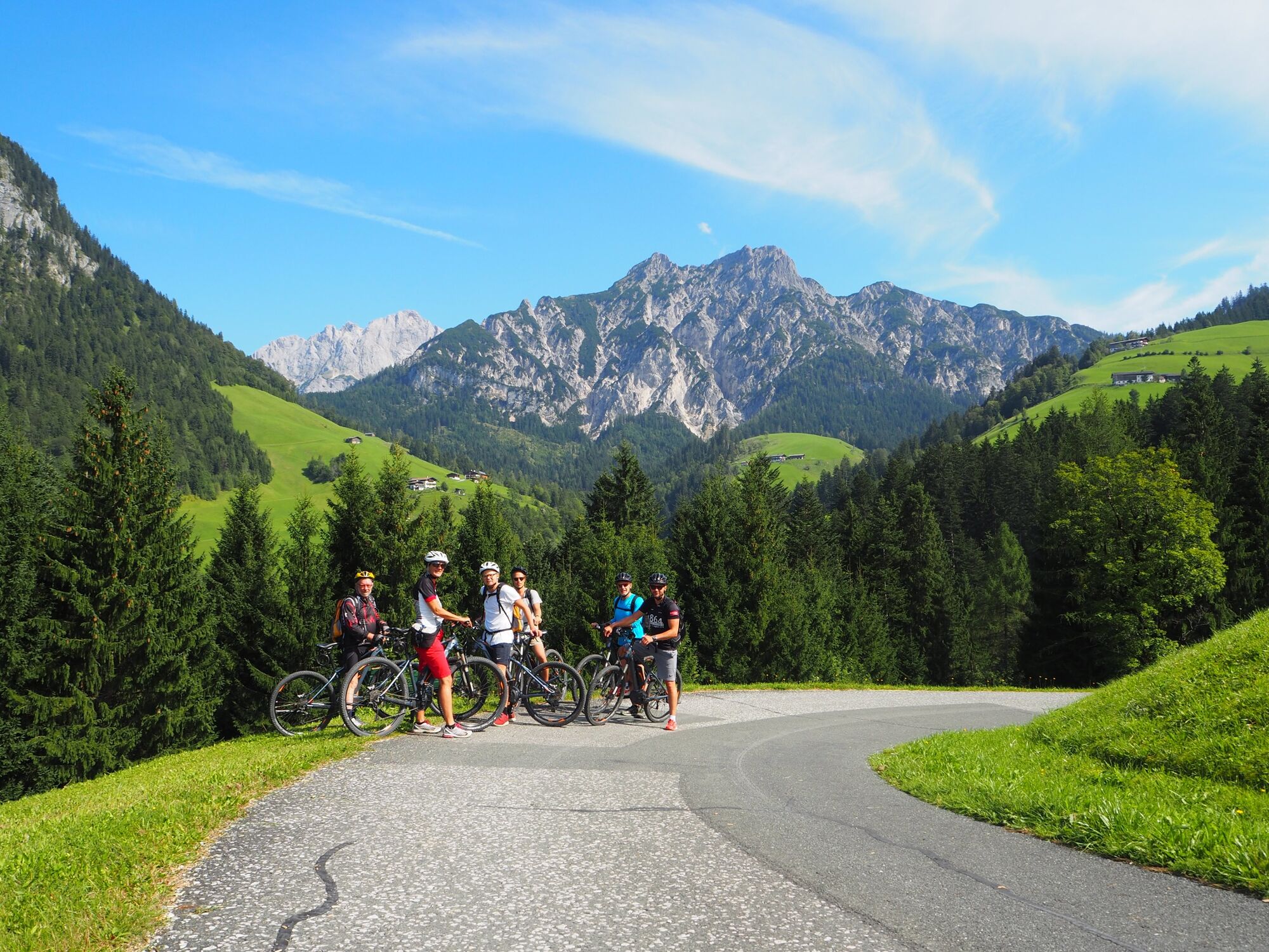
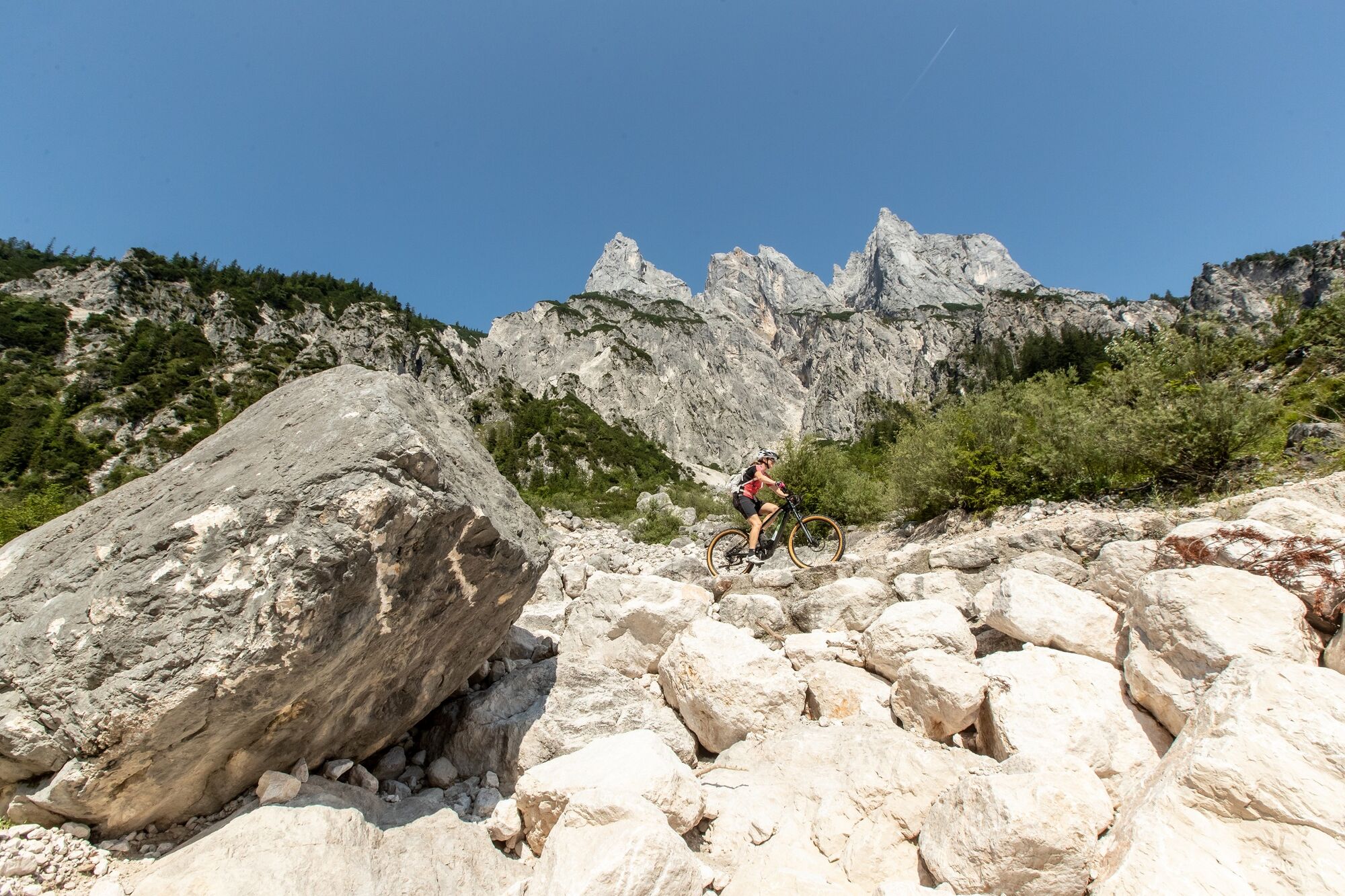
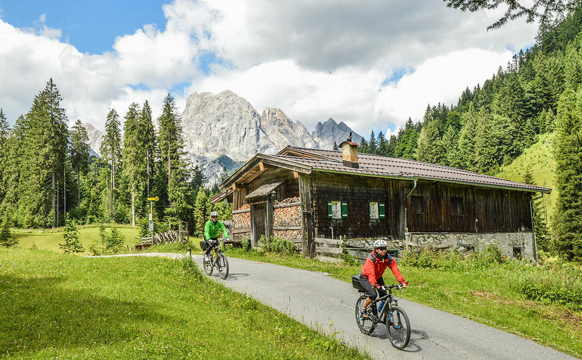
Beautiful mountain bike tour with approx. 1350 vertical metres
- Moeilijkheid
-
zwaar
- Waardering
-
- Route
-
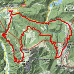
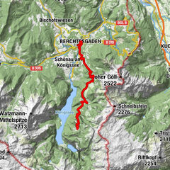
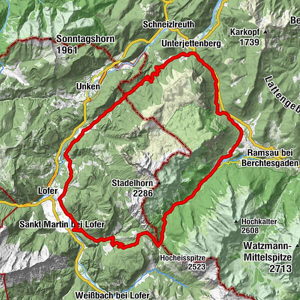
Reith0,0 kmAntoniuskapelle3,0 kmAu3,4 kmScheffsnoth5,6 kmStrohwolln8,2 kmEiblkreuzung16,3 kmHufnagei (1.267 m)17,0 kmMooswachtkapelle18,3 kmAlpengasthof Hirschbichl18,4 kmHirschbichl18,5 kmBergheim Hirschbichl18,5 kmBindalm18,9 kmHirschbichlstraße20,8 kmHängebrücken21,9 kmAuzinger25,4 kmSeeklause26,4 kmAschauer Klamm-Blick43,5 kmAschau-Blick45,3 kmAschau45,5 kmMitterhorn-Blick46,1 kmHochreith47,6 kmReith48,7 km
- Beste seizoen
-
janfebmrtaprmeijunjulaugsepoktnovdec
- Maximale hoogte
- 1.268 m
- Bestemming
-
Reith
- Hoogteprofiel
-


-

-
AuteurDe rondleiding Around the Reiter Alpe wordt gebruikt door outdooractive.com op.
GPS Downloads


Algemene info
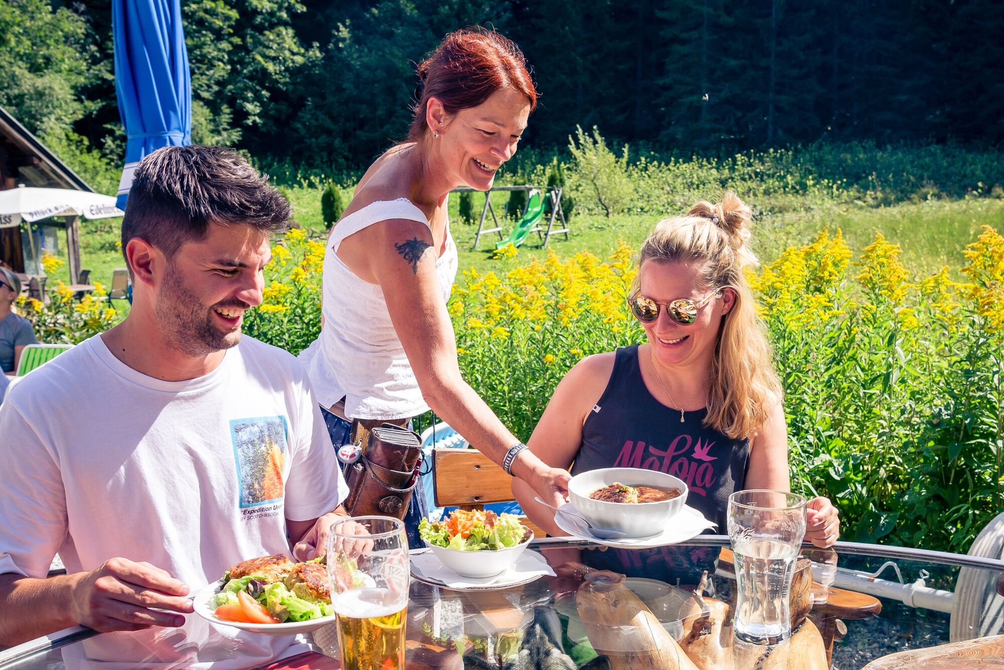
Verfrissingsstop
Cultureel/Historisch
Veelbelovend
Meer rondleidingen in de regio's