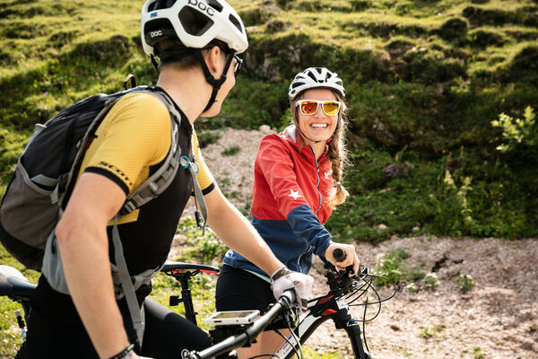
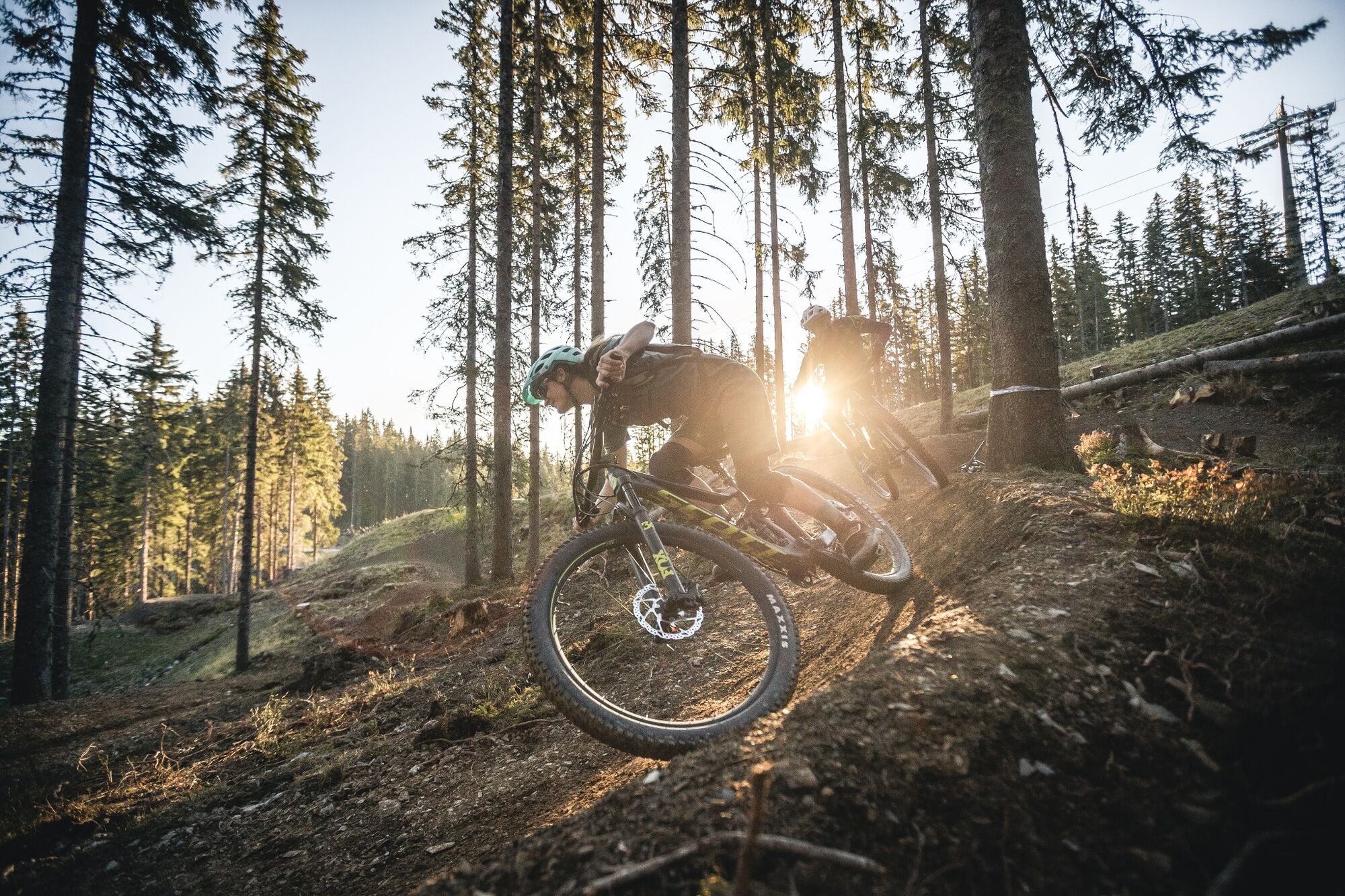
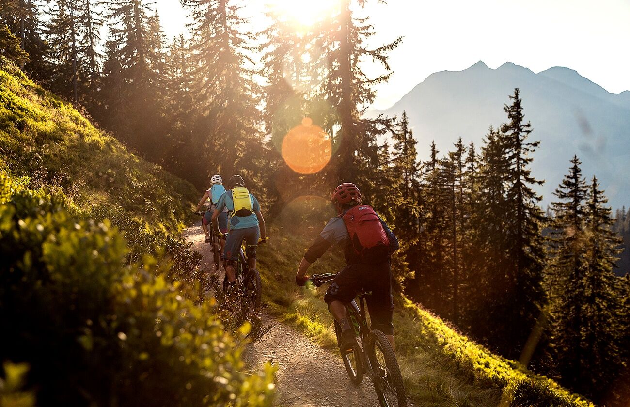
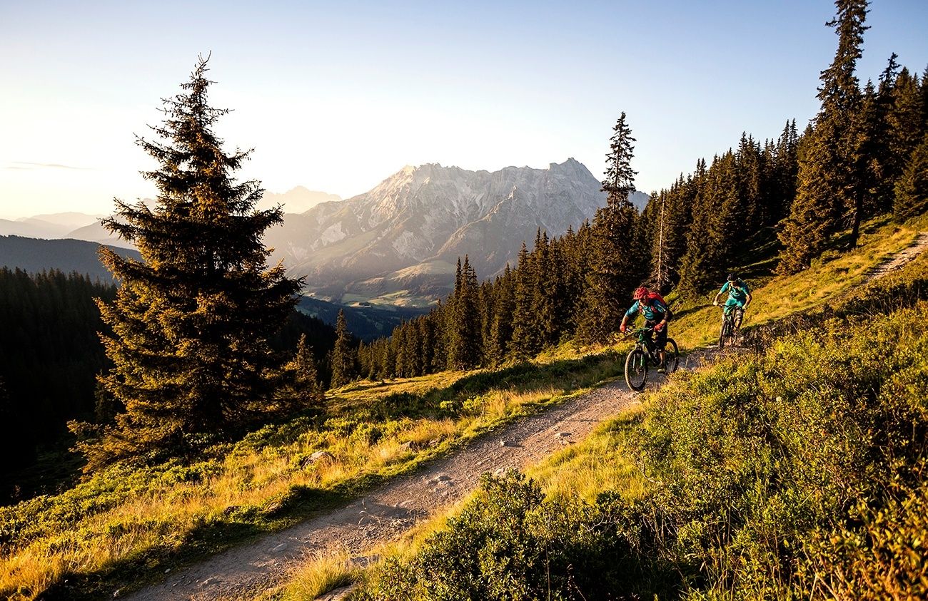
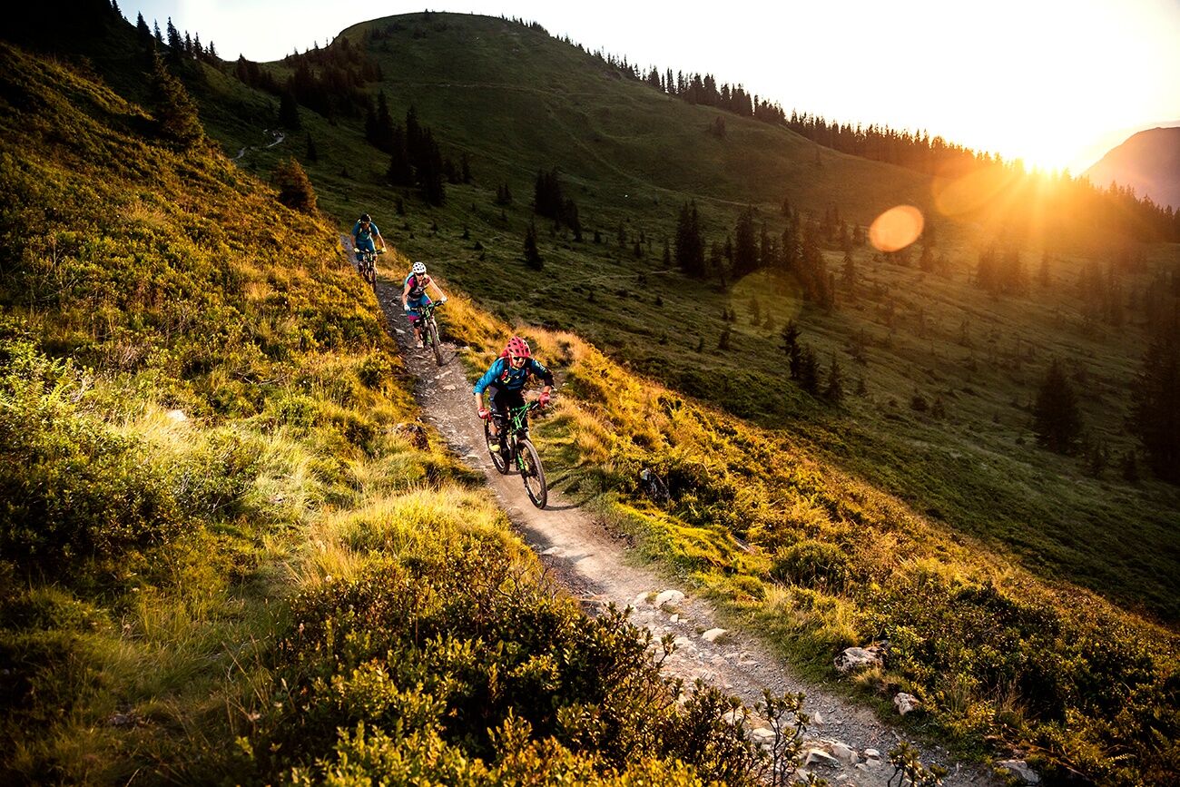
BIG-5 Bike Challenge in Saalbach Hinterglemm Leogang (2020)

Mountainbike

© Saalfelden Leogang Touristik GmbH - Saalfelden Leogang

© Saalfelden Leogang Touristik GmbH - Saalfelden Leogang

© Saalfelden Leogang Touristik GmbH - Saalfelden Leogang

© (c) Moritz Ablinger | WOM Medien - Saalfelden Leogang

© Saalfelden Leogang Touristik GmbH - Saalfelden Leogang

© Saalfelden Leogang Touristik GmbH - Saalfelden Leogang

© Saalfelden Leogang Touristik GmbH - Saalfelden Leogang

© Saalfelden Leogang Touristik GmbH - Saalfelden Leogang

© Saalfelden Leogang Touristik GmbH - Saalfelden Leogang

© (c) Moritz Ablinger | WOM Medien - Saalfelden Leogang

- Korte beschrijving
-
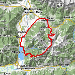
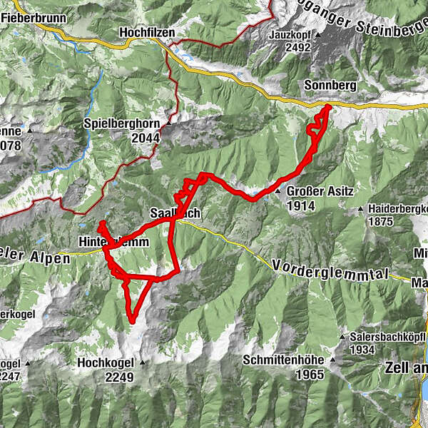
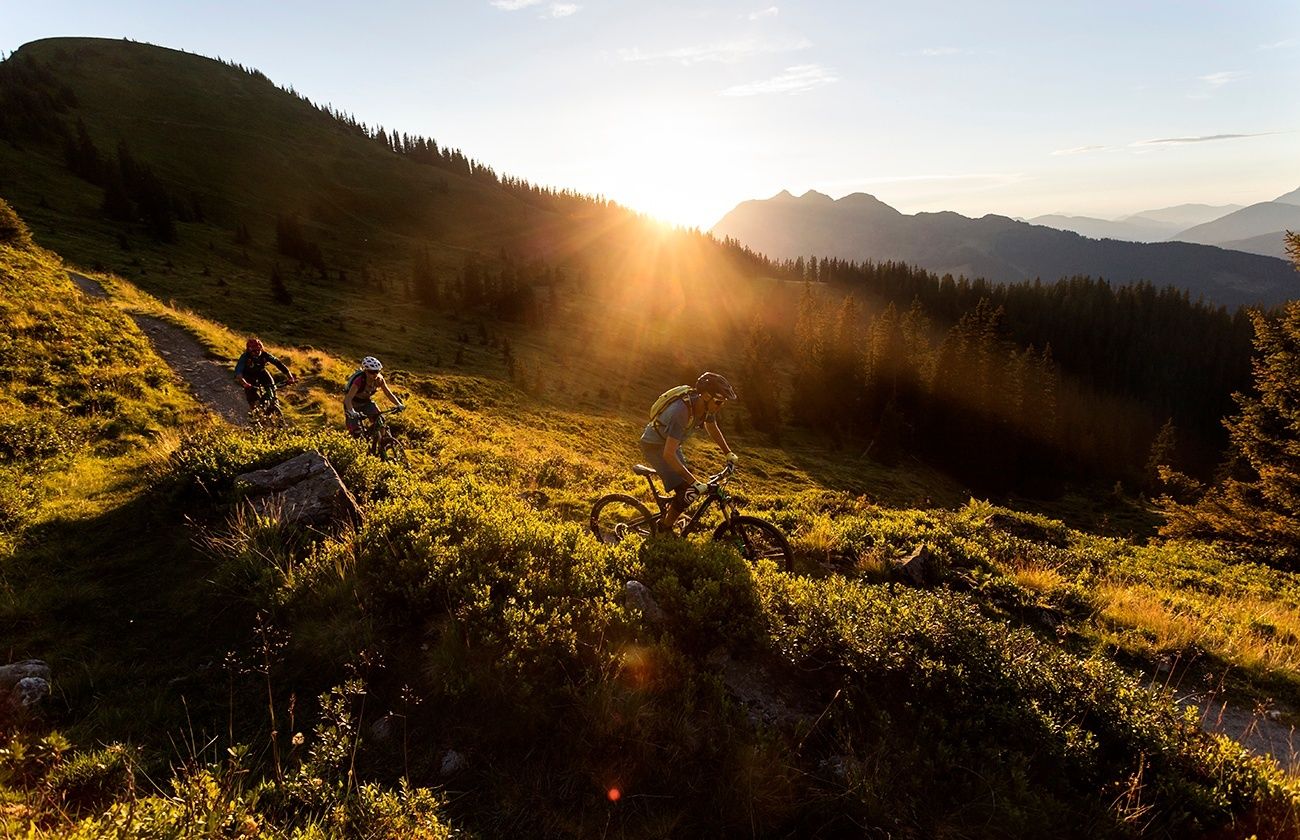
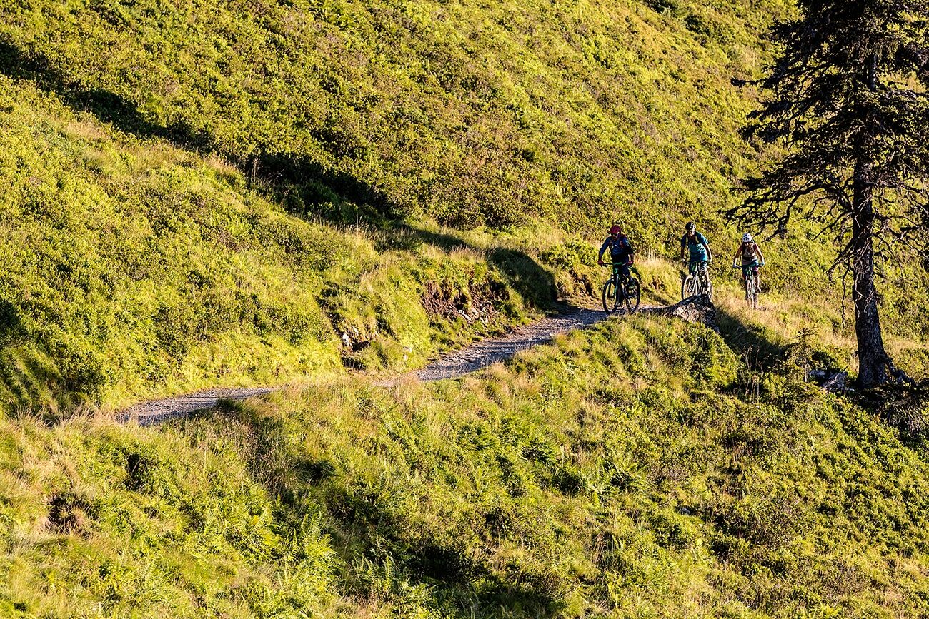
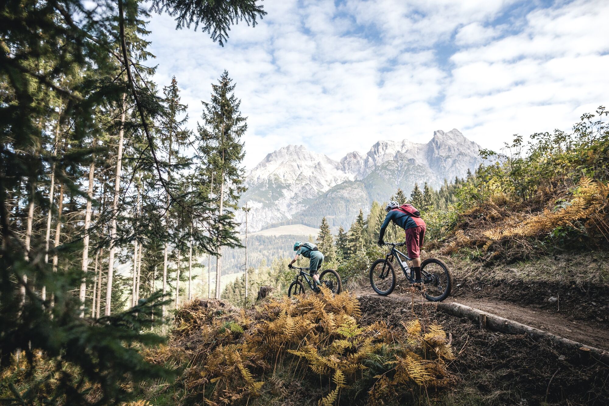
The BIG-5 Bike Challenge covers the 5 cable cars and 5 mountains around Saalbach Hinterglemm and Leogang, combining them into a XXL tour that guarantees you the absolute maximum enduro pleasure in one day.
- Moeilijkheid
-
zwaar
- Waardering
-
- Route
-
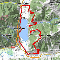
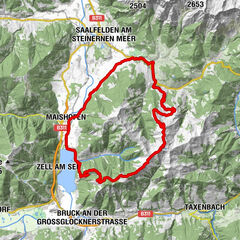
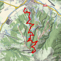
SaalbachKohlmaisbahn Talstation0,0 kmMontelino's Wildfütterung1,9 kmKohlmaiskopf (1.794 m)2,3 kmMontelino's Erlebnisweg2,3 kmKohlmaisbahn Bergstation2,3 kmAlte Schmiede8,0 kmhendl fischerei8,1 kmKraller Alm15,9 kmSteinbergbahn I16,2 kmRain16,8 kmKniestichkogel (1.570 m)17,0 kmSteinbergbahn II18,0 kmhendl fischerei18,0 kmSteinbergbahn Mittelstation18,5 kmAlte Schmiede18,6 kmPanoramaalm26,9 kmEdel Weiss27,0 kmHl. Nikolaus und Hl. Bartholomäus32,0 kmSaalbach32,1 kmSchattberg X-press Talstation32,3 kmSchattberg X-press Mittelstation33,5 kmSkyRest33,6 kmSchattberg-Ost (2.018 m)33,9 kmSchattberg X-press Bergstation33,9 kmWestgipfelhütte36,4 kmSchattberg West (2.096 m)36,5 kmWestgipfelbahn Bergstation36,6 kmHacklbergalm39,3 kmOberschwarzachlifte45,2 kmHinterglemm46,4 kmReiterkogelbahn46,5 kmReiterkogelbahn47,6 kmHasenau50,2 kmWestgipfelbahn Talstation51,4 kmWestgipfelbahn Mittelstation52,7 kmSchattberg West (2.096 m)52,8 kmWestgipfelbahn Bergstation52,8 kmHacklbergalm56,8 kmOberschwarzachlifte62,7 kmHinterglemm63,9 kmWieshoflift64,5 kmMitteregglift64,8 kmAchrain65,4 kmEibing65,9 kmSaalbach67,8 kmHl. Nikolaus und Hl. Bartholomäus67,8 km
- Beste seizoen
-
janfebmrtaprmeijunjulaugsepoktnovdec
- Maximale hoogte
- 2.086 m
- Bestemming
-
Valley station of the Leogang Bergbahn cable car
- Hoogteprofiel
-


-

-
AuteurDe rondleiding BIG-5 Bike Challenge in Saalbach Hinterglemm Leogang (2020) wordt gebruikt door outdooractive.com op.
GPS Downloads


Meer rondleidingen in de regio's
-
Saalbach Hinterglemm
434
-
Hochfilzen
141