© (c)TVB Uttendorf - Tourismusverband Piesendorf Niedernsill

© (c)TVB Uttendorf - Tourismusverband Piesendorf Niedernsill
- Korte beschrijving
-
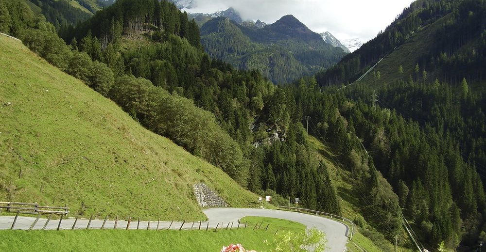
A cycling tour in one of the most beautiful Tauern valley of the Hohe Tauern National Park with a medium level of difficulty for mountain and road bikers.
- Moeilijkheid
-
medium
- Waardering
-
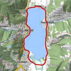
- Route
-
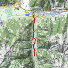
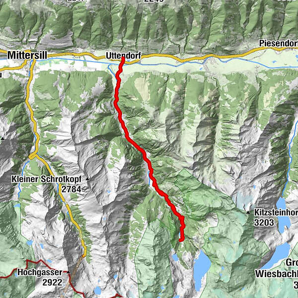
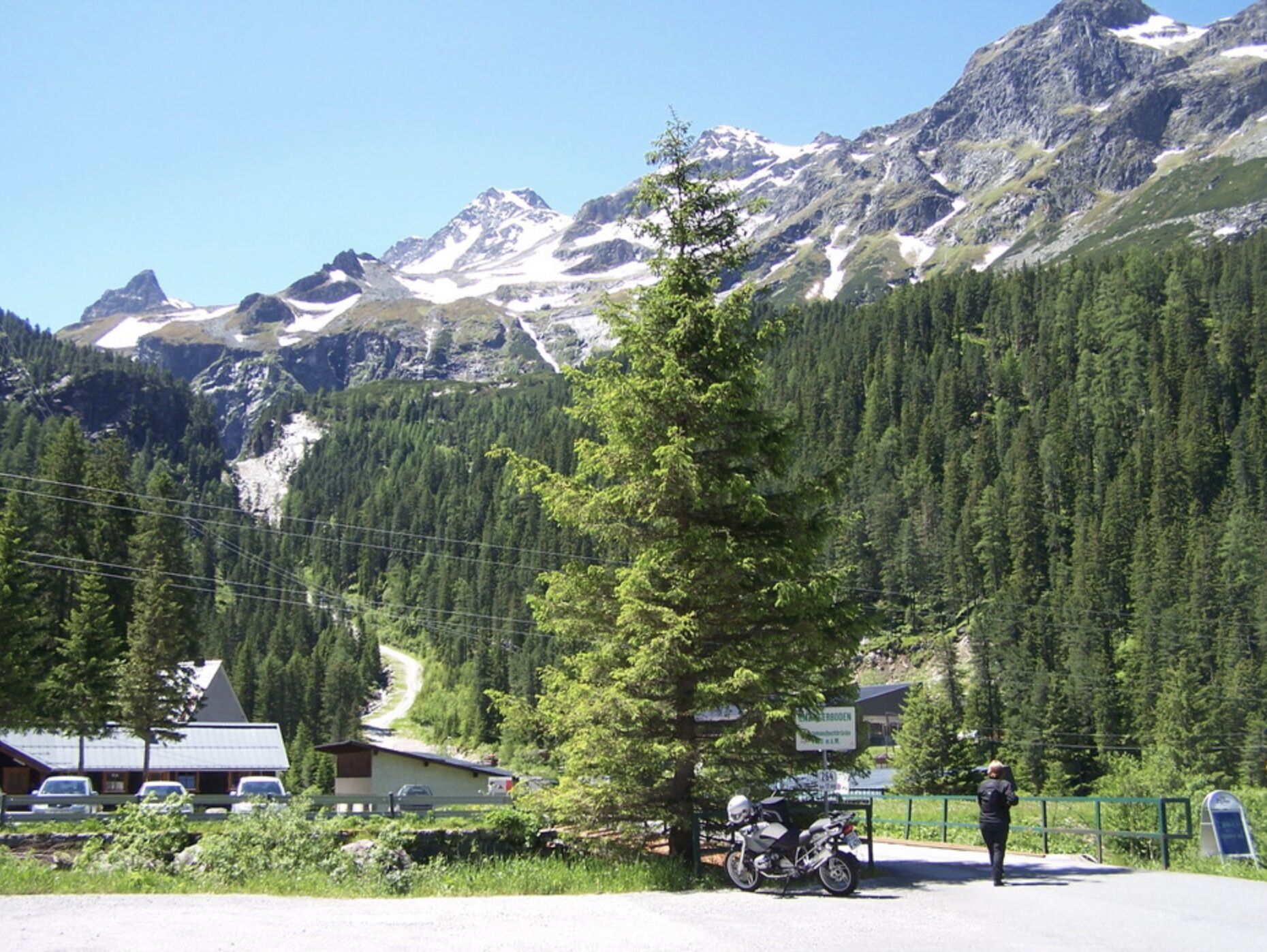
Uttendorf0,0 kmStubach2,7 kmScheitern2,8 kmWiedrechtshausen4,9 kmInnerwiesen6,4 kmSchneiderau10,0 kmVorhofalm11,4 kmSchrabachfall11,9 kmEnzingerboden17,2 kmPaletti17,3 km
- Beste seizoen
-
janfebmrtaprmeijunjulaugsepoktnovdec
- Maximale hoogte
- 1.475 m
- Bestemming
-
Enzingerboden - Valley station Weißsee Gletscherbahn
- Hoogteprofiel
-


-

-
AuteurDe rondleiding 8D Panoramastraße Stubachtal wordt gebruikt door outdooractive.com op.
GPS Downloads


Algemene info
Verfrissingsstop
Veelbelovend
Meer rondleidingen in de regio's