Schneeschuhwanderung zur Pölsneralm

Logo Schneeschuhwanderung zur Pölsneralm
Toerdatums
7,2km
1.175 - 1.702m
Afstand
527hm
520hm
Opstijging
03:45h
 
Duur
Korte beschrijving

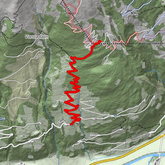
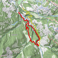
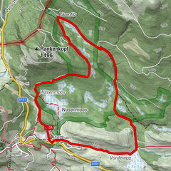
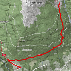
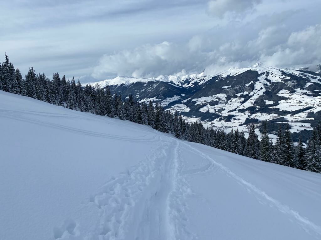
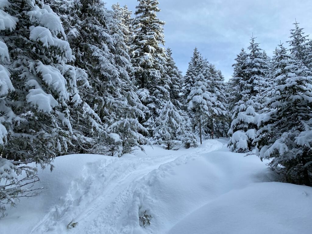
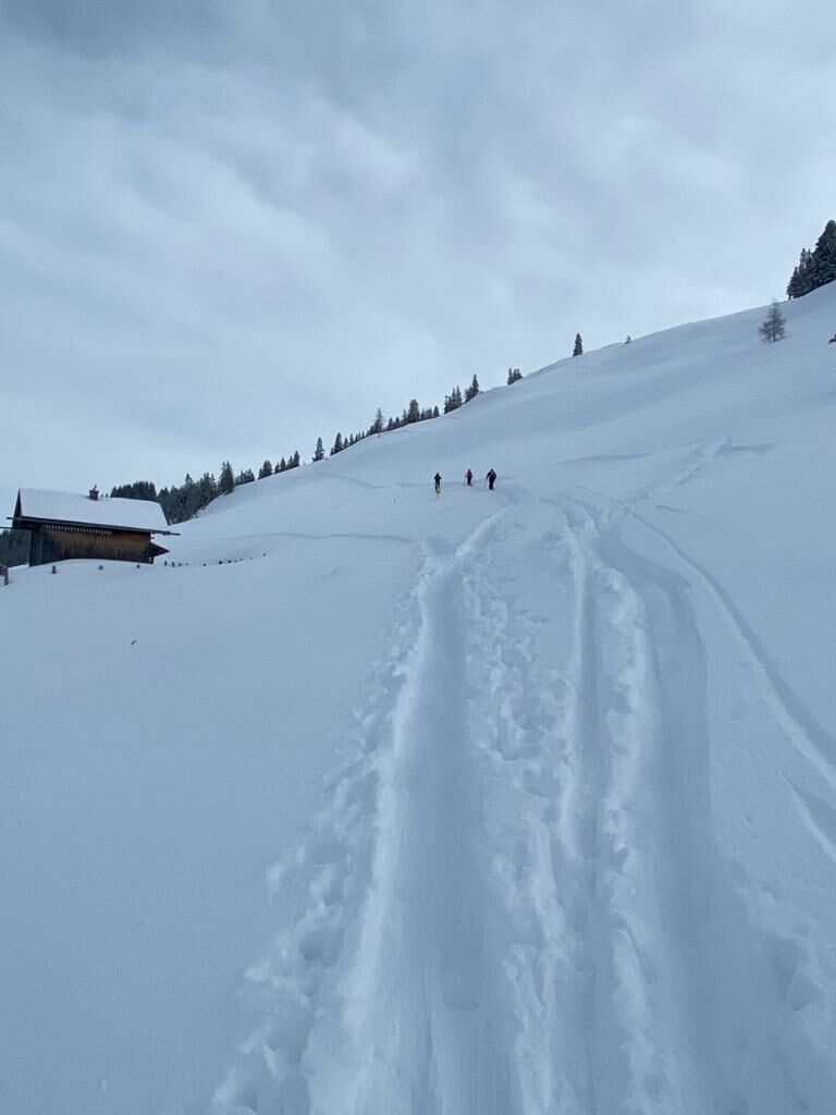
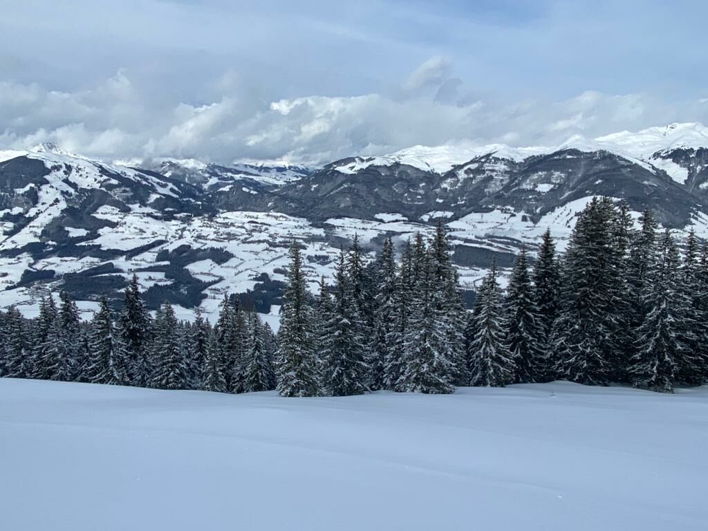
 Schneeschuhwanderung durch einen verschneiten Hochwald, hinauf zur Pölsneralm, auf 1704 m Seehöhe.


Moeilijkheid
medium
Waardering
Techniek
Conditie
Landschap
Belevenis
Route
Gasthof Berghof
Gasthof Berghof
7,1 km

Beste seizoen
aug
sep
okt
nov
dec
jan
feb
mrt
apr
mei
jun
jul
Maximale hoogte
1.702 m
Bestemming

Ausgangspunkt

Hoogteprofiel

Auteur
De rondleiding Schneeschuhwanderung zur Pölsneralm wordt gebruikt door outdooractive.com op.

Algemene beoordeling

5

0

%

4

0

%

3

0

%

2

0

%

1

0

%

Fout
Er is een fout opgetreden. Probeer het opnieuw.
Bedankt voor uw beoordeling

Waardering is verwijderd

GPS Downloads
  • GPX GPS Exchange Format (XML)
  • KML Google Earth, Google Maps
QR Downloadcodes voor mobiele telefoons

Algemene info

Veelbelovend
Meer rondleidingen in de regio's

Populaire rondleidingen in de omgeving

Schneeschuhwanderung Straubing

medium Sneeuwschoen
9,21km | 158hm | 03:00h

Schneeschuhwanderung Hochmoor Wasenmoos

medium Sneeuwschoen
6,97km | 181hm | 03:00h