Uttendorf: Butterfly nature trail

Logo Uttendorf: Butterfly nature trail
Toerdatums
2,39km
800 - 1.070m
Afstand
275hm
Opstijging
01:30h
 
Duur
Korte beschrijving

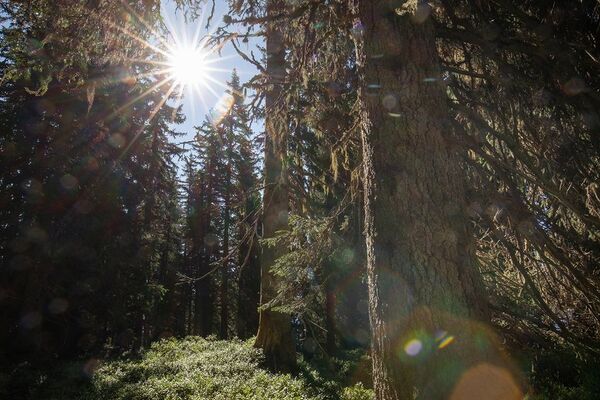
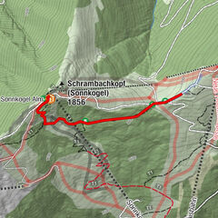
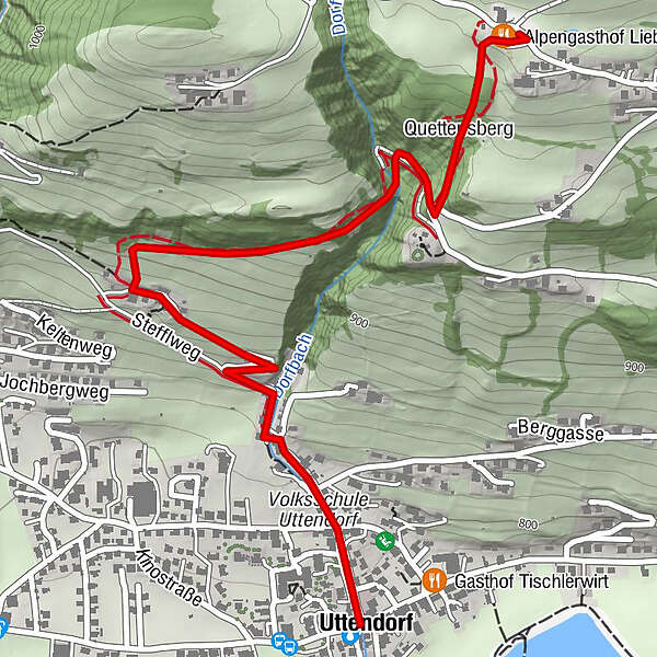
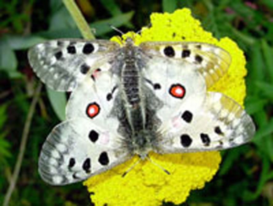
From the town center along Dorfbachstrasse and then following the information boards up the sunny slope of Uttendorf. The boards describe the growth and decay, the life and use of butterflies.

Route
Uttendorf
Quettensberg
2,0 km
Alpengasthof Liebenberg
2,3 km

Maximale hoogte
1.070 m
Bestemming

Alpengasthof Liebenberg

Hoogteprofiel

Auteur
De rondleiding Uttendorf: Butterfly nature trail wordt gebruikt door outdooractive.com op.

Algemene beoordeling

5

0

%

4

0

%

3

0

%

2

0

%

1

0

%

Fout
Er is een fout opgetreden. Probeer het opnieuw.
Bedankt voor uw beoordeling

Waardering is verwijderd

GPS Downloads
  • GPX GPS Exchange Format (XML)
  • KML Google Earth, Google Maps
QR Downloadcodes voor mobiele telefoons

Algemene info

Fauna
Meer rondleidingen in de regio's

Populaire rondleidingen in de omgeving

Mittersill: Hochmoor Wasenmoos Wegnr. 77

gemakkelijk Themapad
7,06km | 159hm | 02:30h

The mystical forest

gemakkelijk Themapad
1,15km | 17hm | 01:00h

herbal natural trail

gemakkelijk Themapad
2,02km- | 00:40h

Uttendorf/Weißsee: Schmetterlingslehrweg

gemakkelijk Themapad
2,36km | 307hm | 01:00h