© Zell am See-Kaprun Tourismus GmbH - Dominik Wartbichler

© Zell am See-Kaprun Tourismus GmbH - Dominik Wartbichler

© Zell am See-Kaprun Tourismus GmbH - Dominik Wartbichler

© Zell am See-Kaprun Tourismus GmbH - Dominik Wartbichler

© Zell am See-Kaprun Tourismus GmbH - Dominik Wartbichler

© Zell am See-Kaprun Tourismus GmbH - Dominik Wartbichler

© Zell am See-Kaprun Tourismus GmbH - Dominik Wartbichler

© Zell am See-Kaprun Tourismus GmbH - Dominik Wartbichler

© Zell am See-Kaprun Tourismus GmbH - Dominik Wartbichler

© Zell am See-Kaprun Tourismus GmbH - Birgit Arnold

- Korte beschrijving
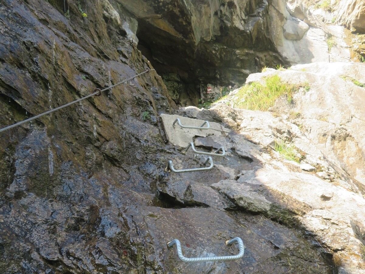
- Moeilijkheid
-
medium
- Waardering
-
- Route
-
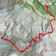
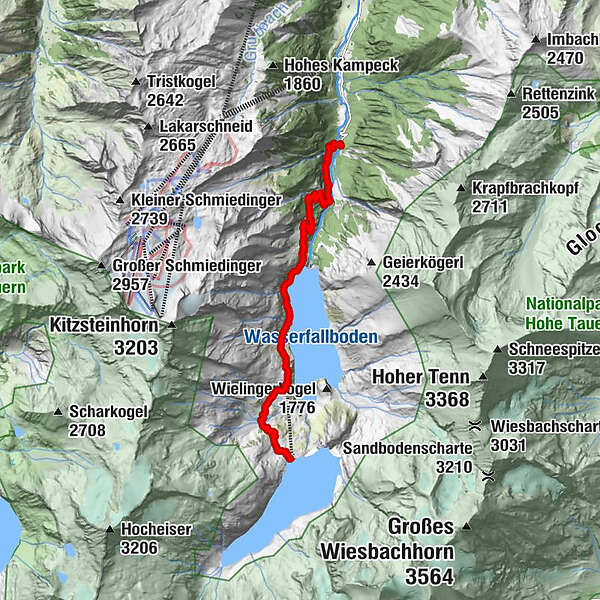
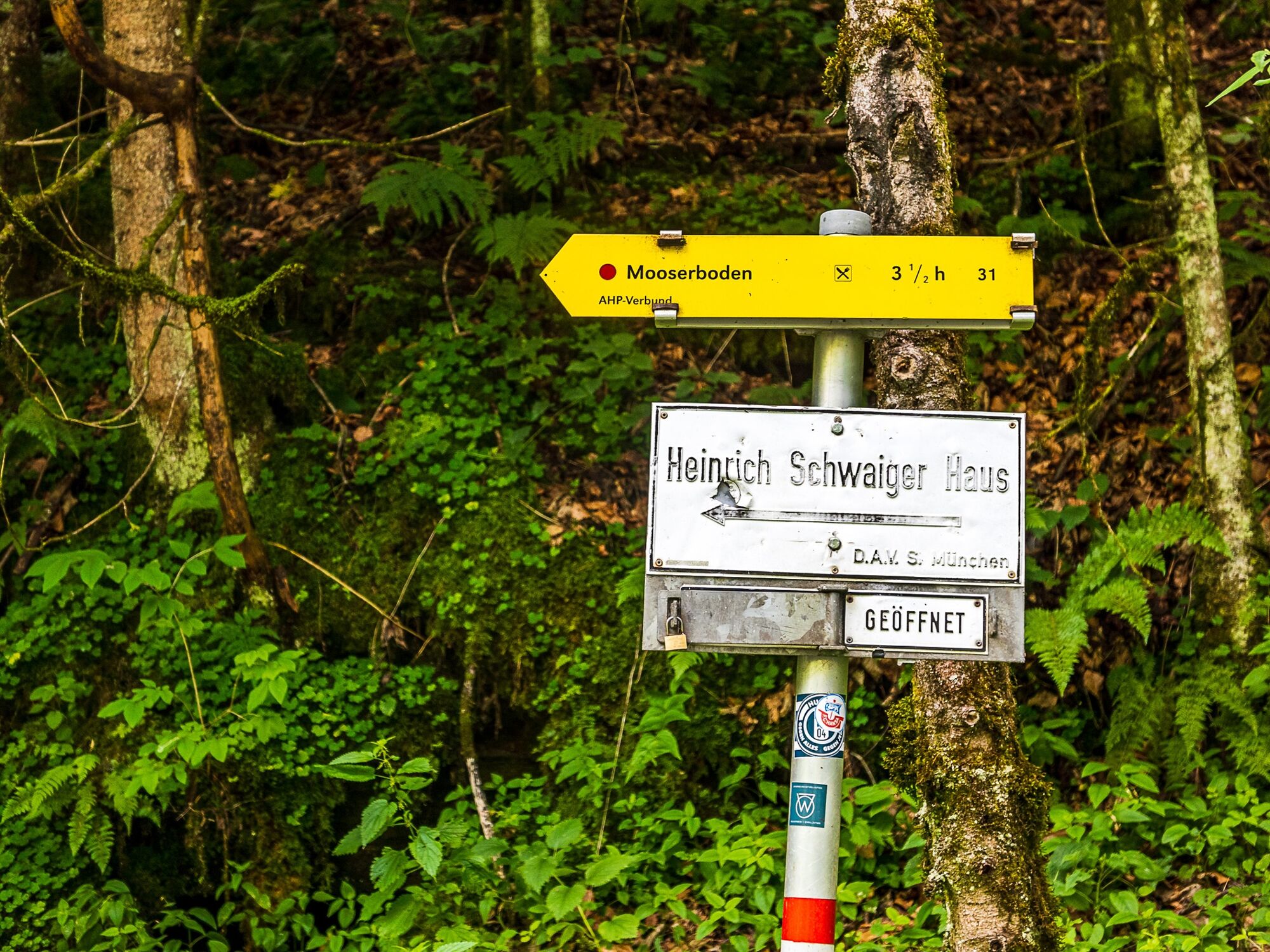
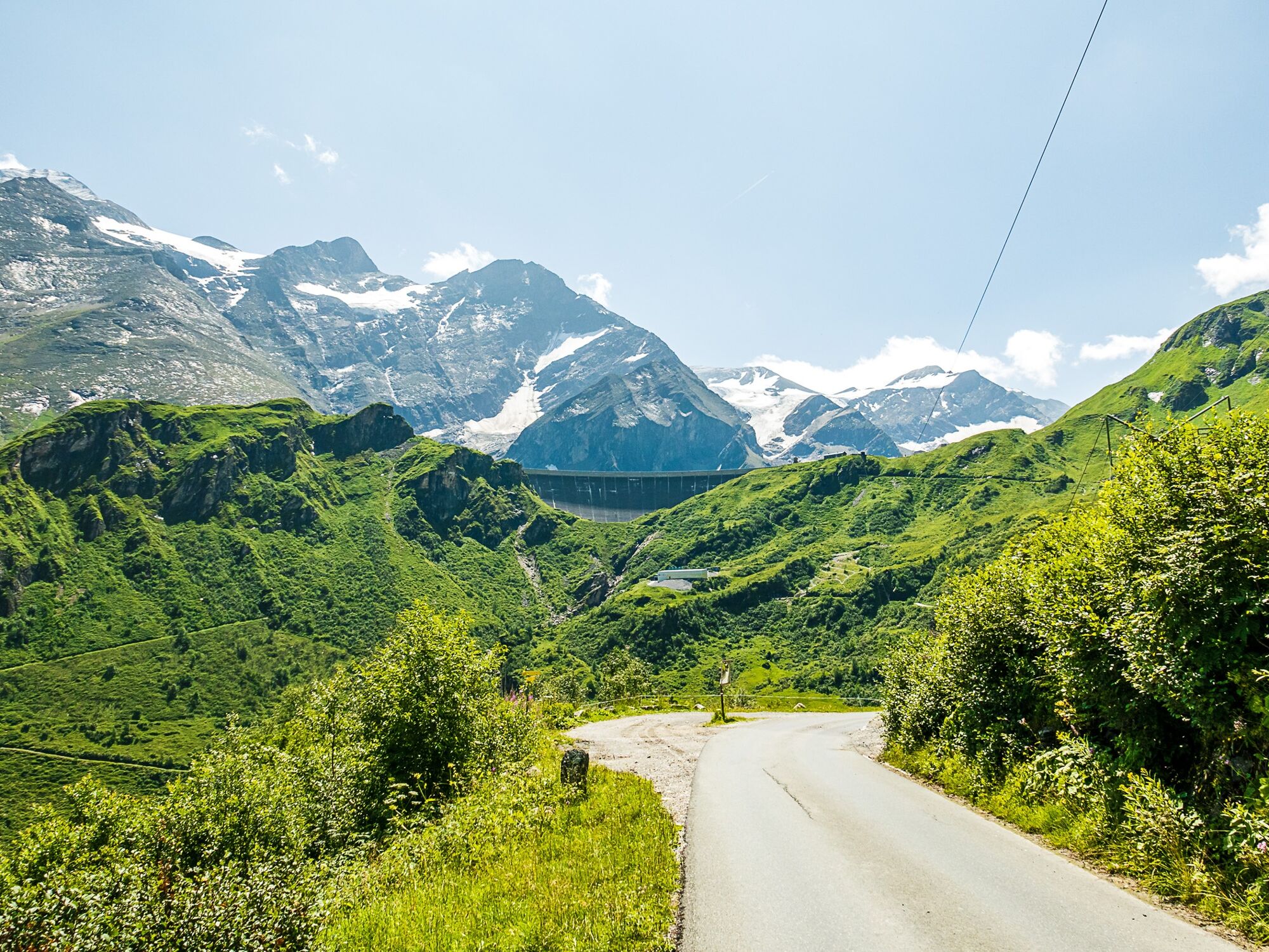
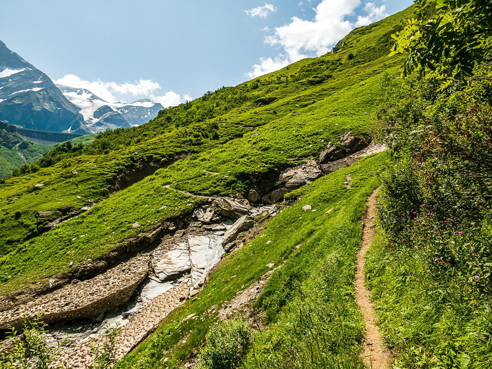
Kesselfall Alpenhaus0,0 kmFürthermoaralm6,3 kmFürthermoaralm/Ebmatten6,4 kmBergrestaurant Mooserboden8,5 km
- Beste seizoen
-
janfebmrtaprmeijunjulaugsepoktnovdec
- Maximale hoogte
- 2.034 m
- Bestemming
-
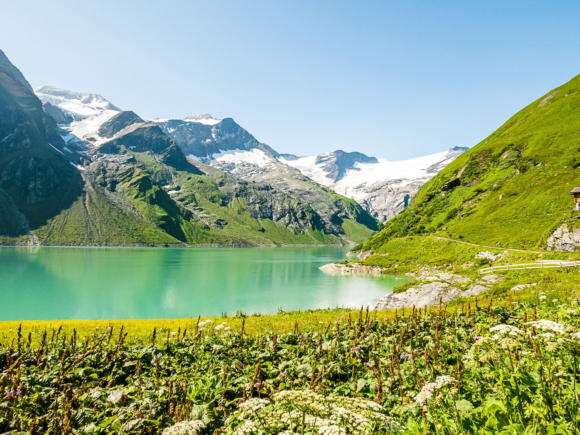
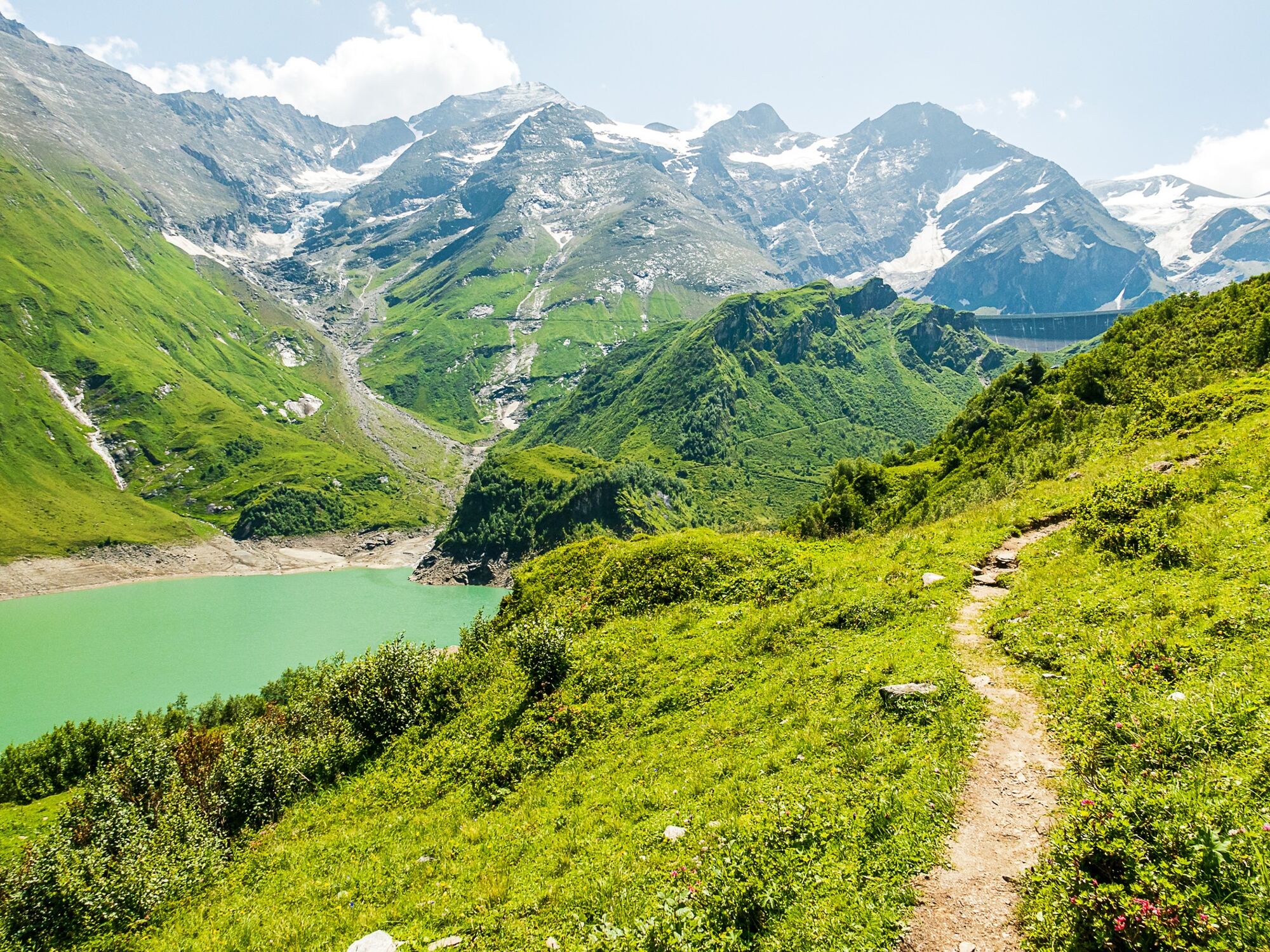
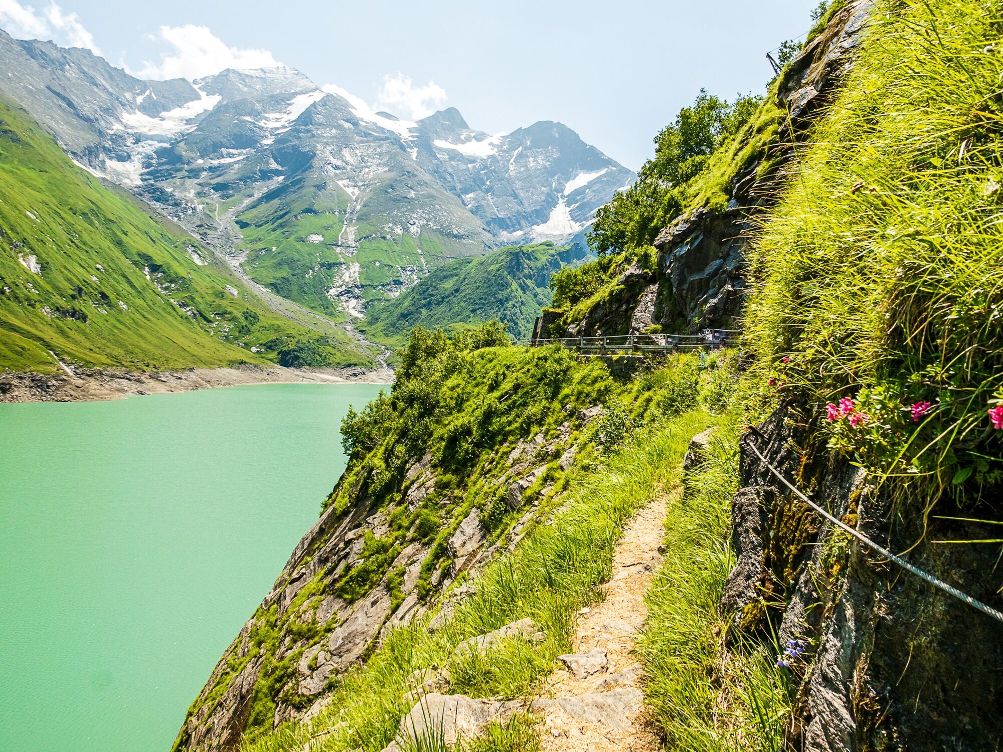
Mooserboden reservoir
- Hoogteprofiel
-


-

-
AuteurDe rondleiding Path from Kesselfall to Mooserboden wordt gebruikt door outdooractive.com op.
GPS Downloads


Algemene info
Verfrissingsstop
Flora
Veelbelovend
Meer rondleidingen in de regio's