- Korte beschrijving
-
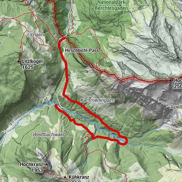
On the forest road via the Weißbachalm (401) to the Kaltwasserstube (small reservoir) and via Falleck to Hirschbichl.
- Moeilijkheid
-
medium
- Waardering
-
- Route
-
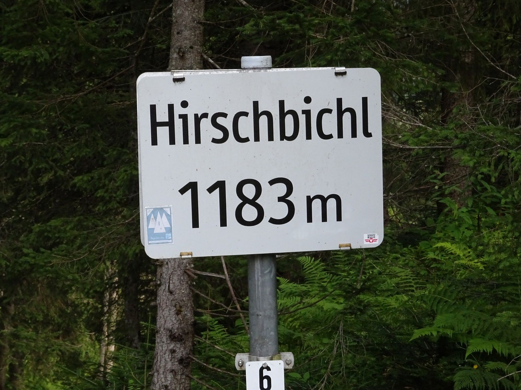
Falleck4,9 kmReubel5,8 kmPoint6,0 kmHirschbichl-Pass (1.183 m)6,2 kmMooswachtkapelle6,6 kmHirschbichl6,6 kmAlpengasthof Hirschbichl6,6 kmBergheim Hirschbichl6,7 km
- Beste seizoen
-
janfebmrtaprmeijunjulaugsepoktnovdec
- Maximale hoogte
- 1.167 m
- Bestemming
-
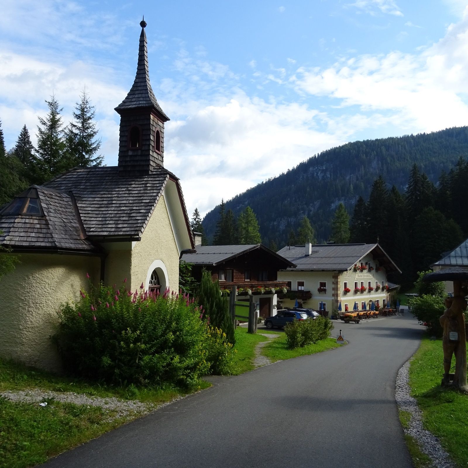
Gasthaus Hirschbichl
- Hoogteprofiel
-

-

-
AuteurDe rondleiding Via the Weißbachalm to the Hirschbichl wordt gebruikt door outdooractive.com op.
GPS Downloads


Algemene info
Verfrissingsstop
Meer rondleidingen in de regio's
-
Saalfelden - Leogang
1814
-
Weißbach bei Lofer
356