© Saalfelden Leogang Touristik GmbH - Julian Gruber

© Saalfelden Leogang Touristik GmbH - Julian Gruber

© Saalfelden Leogang Touristik GmbH - Julian Gruber

- Korte beschrijving
-
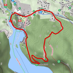
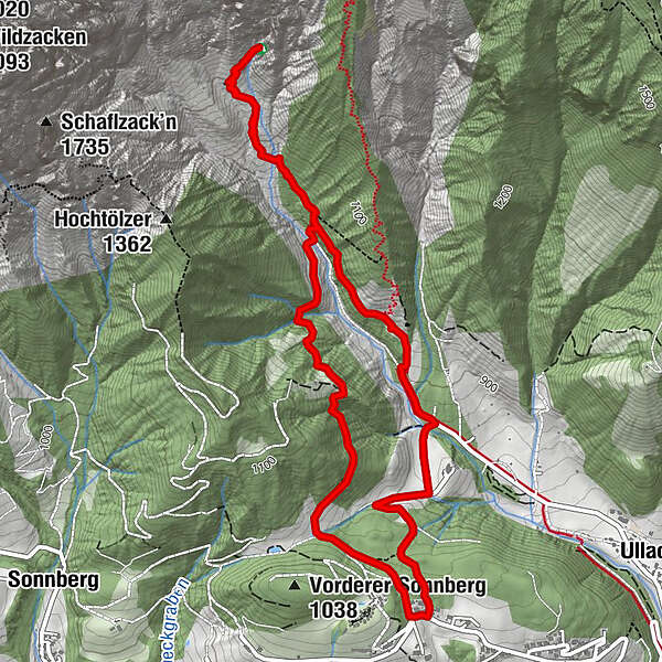
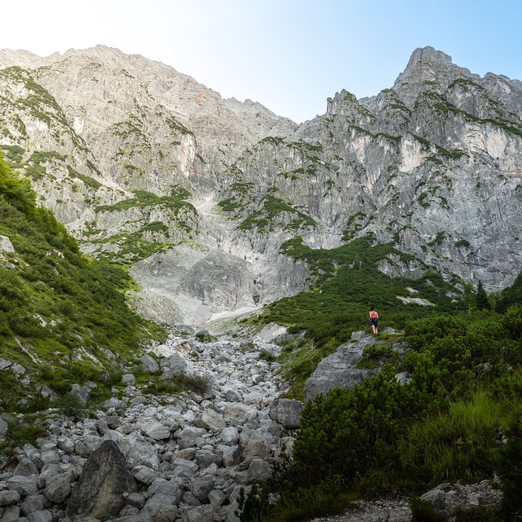
Hiking tour to the natural monument Birnbachloch and the Birnbachlochgletscher, one of the lowest glaciers in Central Europe. This tour is popular for its marvellous and nearly untouched nature at the bottom of the mountains Leoganger Steinberge.
- Moeilijkheid
-
gemakkelijk
- Waardering
-
- Route
-
Örgenkessel1,5 kmBirnbachloch (1.291 m)2,0 km
- Beste seizoen
-
janfebmrtaprmeijunjulaugsepoktnovdec
- Maximale hoogte
- 1.232 m
- Bestemming
-
Birnbachloch
- Hoogteprofiel
-


-

-
AuteurDe rondleiding Birnbachloch wordt gebruikt door outdooractive.com op.
GPS Downloads


Algemene info
Veelbelovend
Meer rondleidingen in de regio's
-
Saalfelden - Leogang
1814
-
Leogang
434