


- Korte beschrijving
-
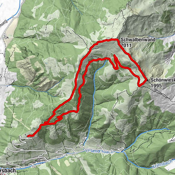
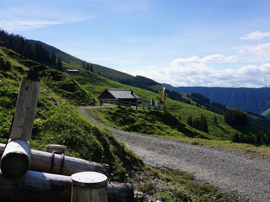
Wonderful round tour with summit experience of three peaks
- Moeilijkheid
-
medium
- Waardering
-
- Route
-
MitterberghofHerz-Jesu-Kapelle0,0 kmSchwalbenwand (2.011 m)4,6 kmSchönwieskopf (1.995 m)6,1 kmSchützingalm9,0 kmMitterberghof13,1 kmHerz-Jesu-Kapelle13,1 km
- Maximale hoogte
- 1.980 m
- Bestemming
-
Berggasthof Mitterberg
- Hoogteprofiel
-

-

-
AuteurDe rondleiding Schwalbenwand / Schönwieskopf wordt gebruikt door outdooractive.com op.
GPS Downloads


Algemene info
Verfrissingsstop
Erkend
Gevarieerd
Veelbelovend
Meer rondleidingen in de regio's
-
Zell am See - Kaprun
1504
-
Maishofen
517


