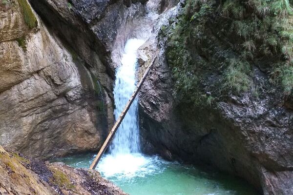
© Gästeservice Tennengau - Tourismusverband Kuchl

© Gästeservice Tennengau - Tourismusverband Kuchl

© Gästeservice Tennengau - Tourismusverband Kuchl
- Korte beschrijving
-
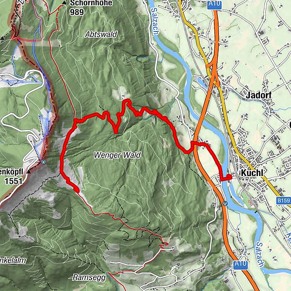
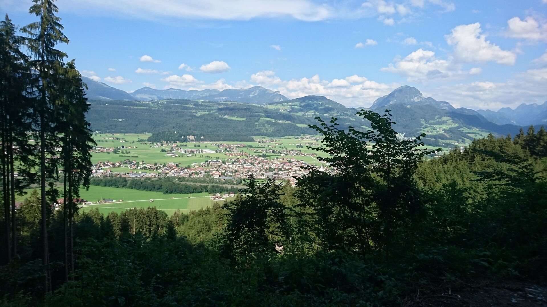
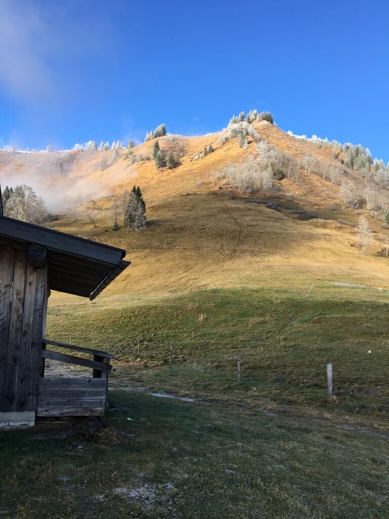
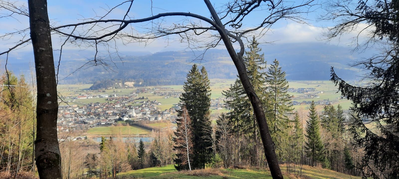
Hike along the old alpine path and a forest road to the Kuchler ski hut
- Moeilijkheid
-
medium
- Waardering
-
- Route
-
Kuchl0,1 kmNesslangeralm6,7 kmKuchler Skihütte7,0 km
- Maximale hoogte
- 1.292 m
- Bestemming
-
Kuchler Skihütte
- Hoogteprofiel
-

-

-
AuteurDe rondleiding Alter Almweg - Kuchler Skihütte (8 Points) wordt gebruikt door outdooractive.com op.
GPS Downloads


Meer rondleidingen in de regio's
-
Tennengau - Dachstein West
1999
-
Kuchl
539