circular path Plettsaukopf

Logo circular path Plettsaukopf
Toerdatums
2,19km
1.281 - 1.324m
Afstand
44hm
46hm
Opstijging
00:40h
 
Duur
Korte beschrijving

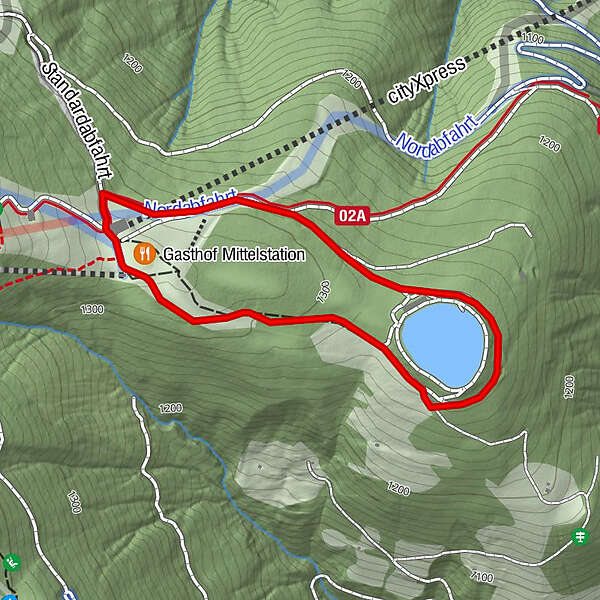
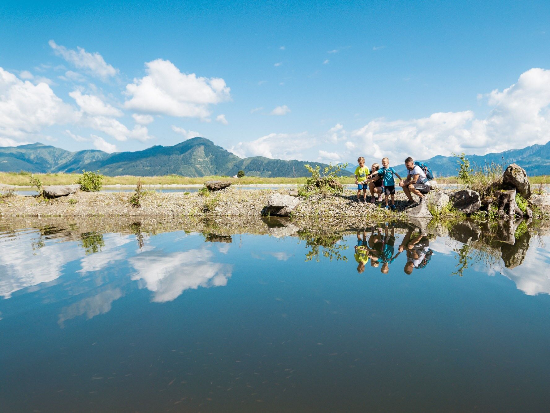
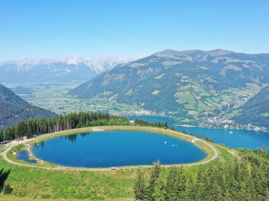
Very pleaseant walking around the reservoir with children´s playground.

Moeilijkheid
gemakkelijk
Waardering
Techniek
Conditie
Landschap
Belevenis
Route
Gasthof Mittelstation
0,1 km

Beste seizoen
jan
feb
mrt
apr
mei
jun
jul
aug
sep
okt
nov
dec
Maximale hoogte
1.324 m
Bestemming

cityXpress mountain station

Hoogteprofiel

Auteur
De rondleiding circular path Plettsaukopf wordt gebruikt door outdooractive.com op.

Algemene beoordeling

5

0

%

4

0

%

3

0

%

2

0

%

1

0

%

Fout
Er is een fout opgetreden. Probeer het opnieuw.
Bedankt voor uw beoordeling

Waardering is verwijderd

GPS Downloads
  • GPX GPS Exchange Format (XML)
  • KML Google Earth, Google Maps
QR Downloadcodes voor mobiele telefoons

Algemene info

Verfrissingsstop
Flora
Meer rondleidingen in de regio's

Populaire rondleidingen in de omgeving

Saalachtaler Höhenweg EAST (Asitz -Biberg)

medium Wandelen
13,07km | 299hm | 04:30h

Kitzsteinhorn 3.203 m - Ascent to the peak

zwaar Wandelen
0,3km | 150hm | 00:45h

Pfarrachhöhe ab Gries

medium Wandelen
11,14km | 1196hm | 05:24h

Peter Wiechenthaler Hut

medium Wandelen
4,32km | 837hm | 02:30h