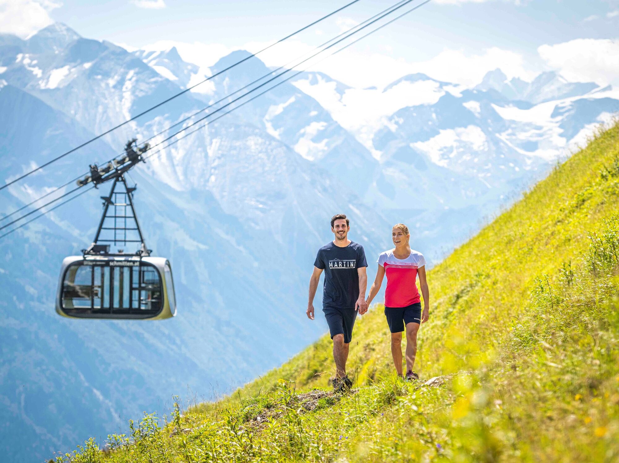
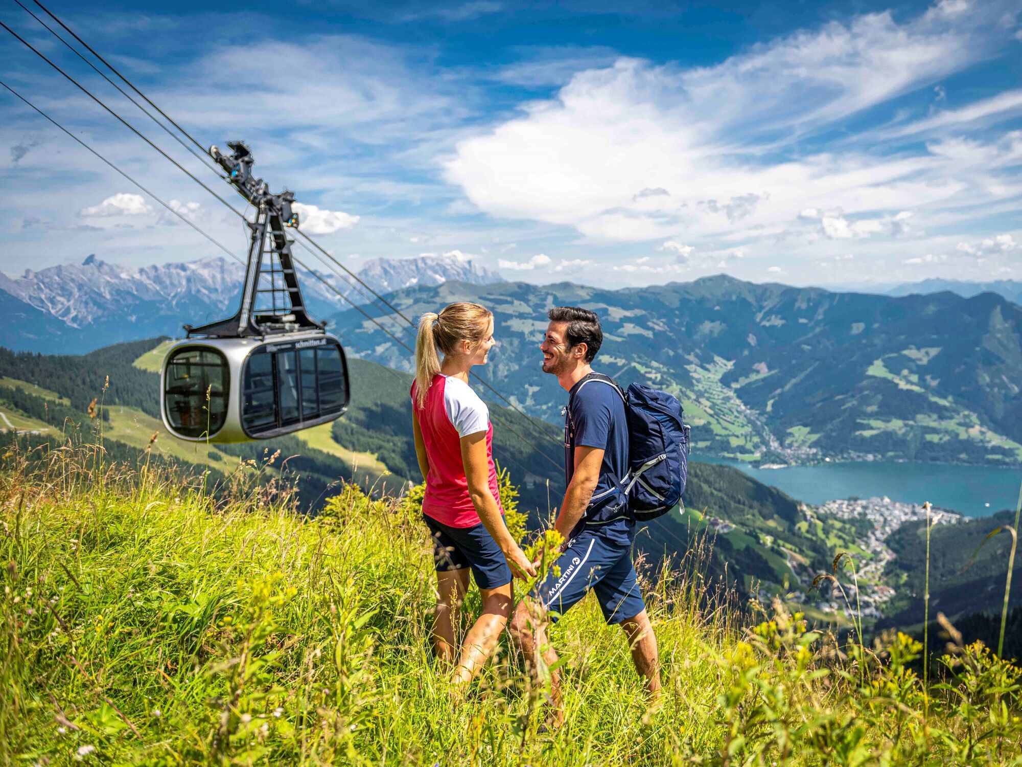
Mountain path - Variant Schmittenhöhe to Schüttdorf

Wandelen

© Schmittenhöhebahn AG - Max Steinbauer

© Schmittenhöhebahn AG - Max Steinbauer

© Schmittenhöhebahn AG - Max Steinbauer

© Schmittenhöhebahn AG - Max Steinbauer

© Schmittenhöhebahn AG - Max Steinbauer

© Schmittenhöhebahn AG - Max Steinbauer

© Schmittenhöhebahn AG - Max Steinbauer

© Schmittenhöhebahn AG - Max Steinbauer

© Schmittenhöhebahn AG

© Schmittenhöhebahn AG


- Korte beschrijving
-
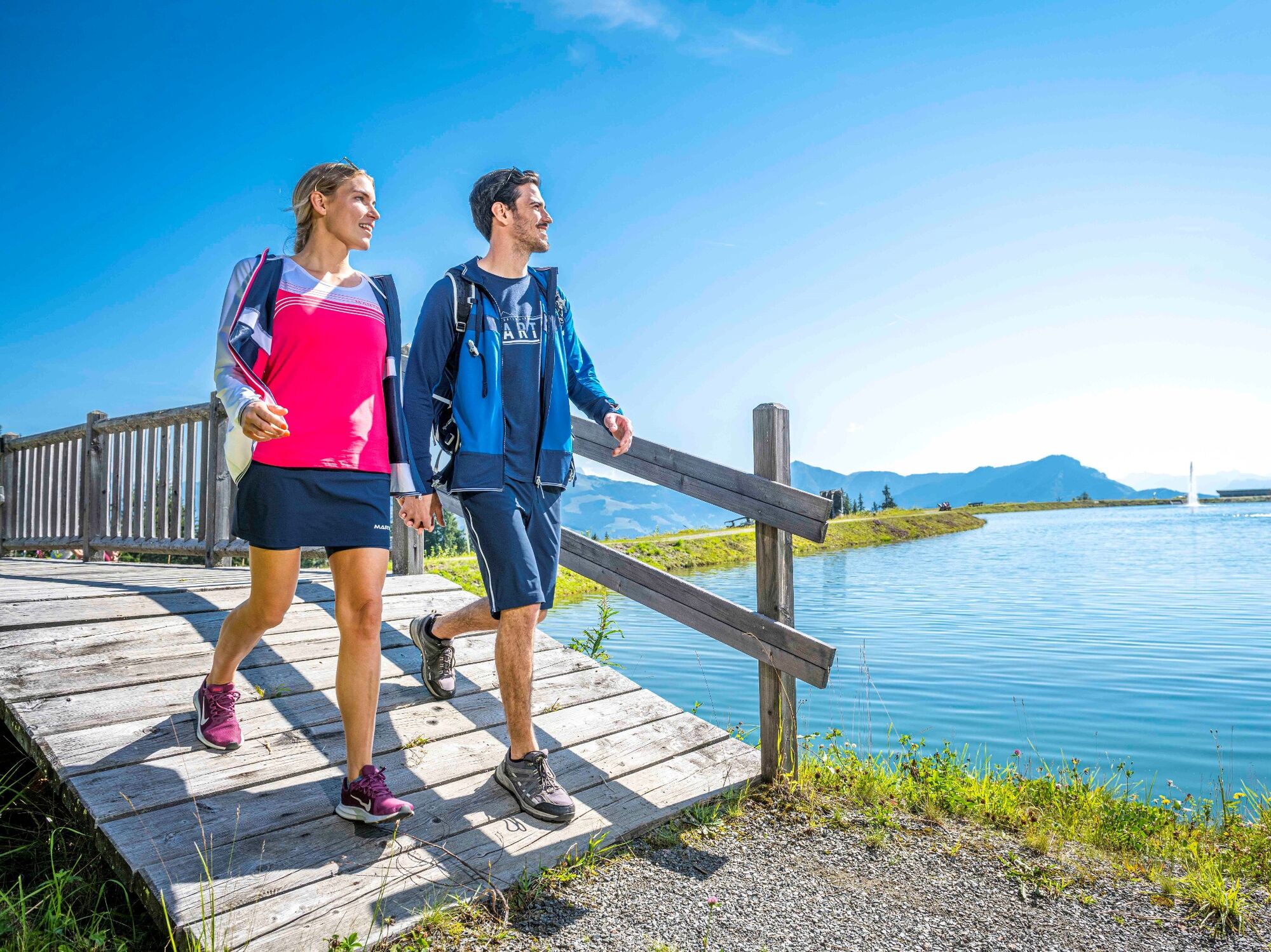
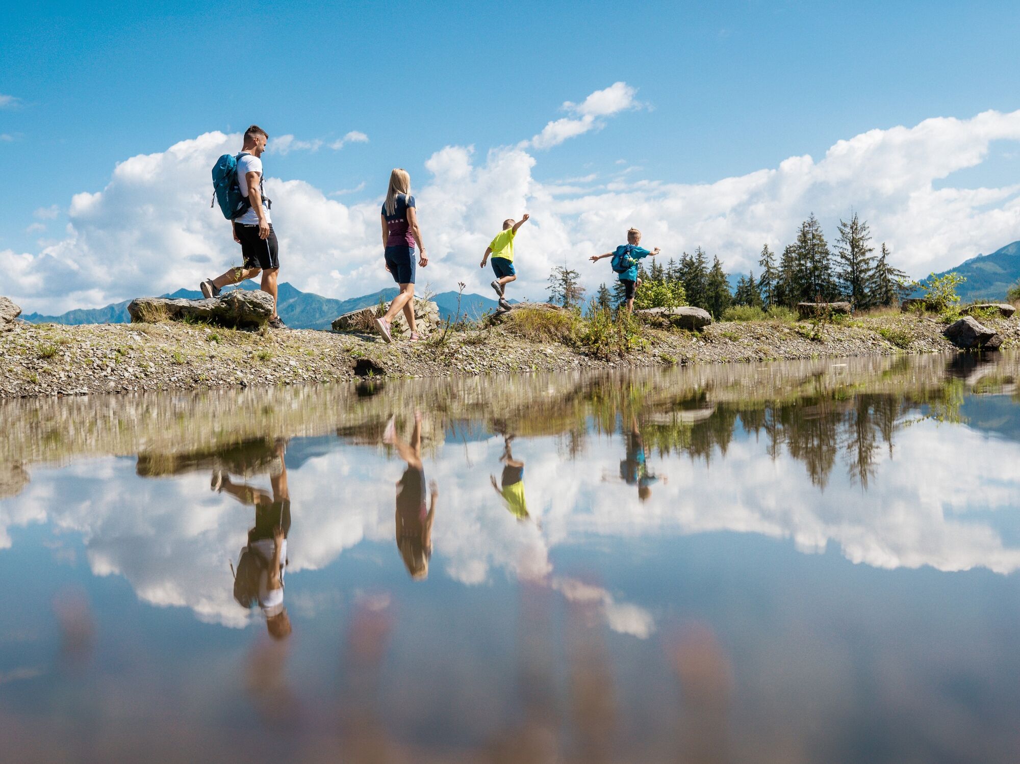
4-Lake-Hiking and further to Schüttdorf
- Moeilijkheid
-
medium
- Waardering
-
- Route
-
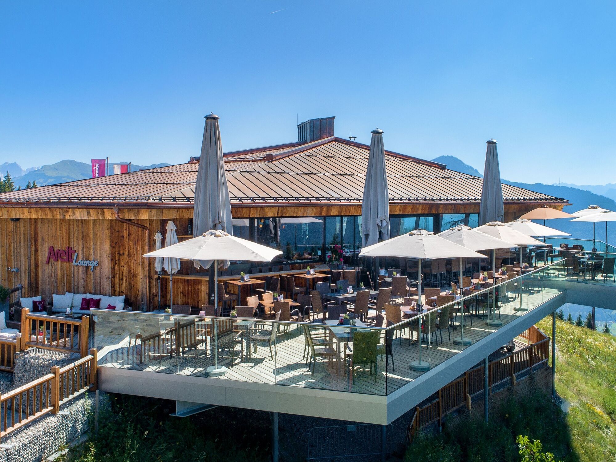
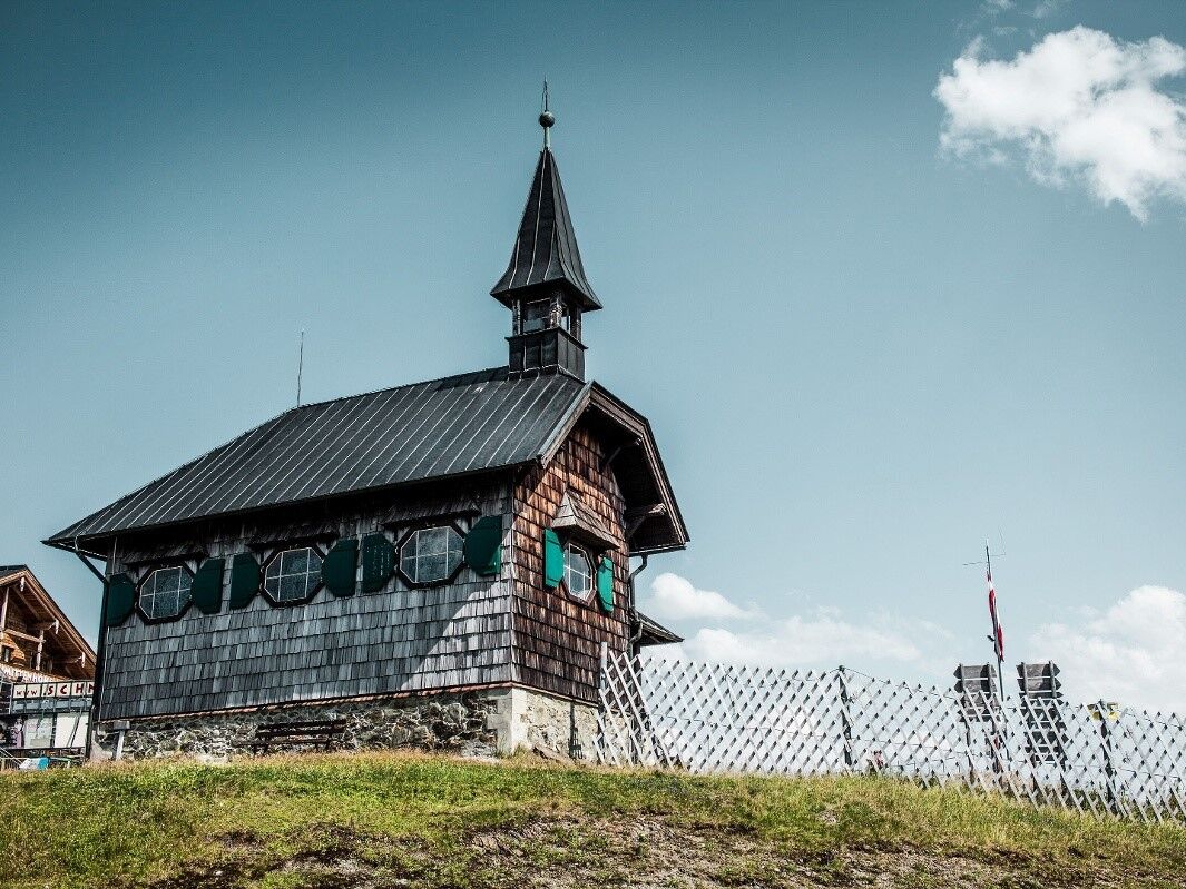
Schmittenhöhe (1.965 m)0,0 kmBerghotel Schmittenhöhe0,0 kmElisabeth-Kapelle0,1 kmGlocknerhaus3,7 kmAreit Lounge5,2 kmSchüttgut8,8 km
- Beste seizoen
-
janfebmrtaprmeijunjulaugsepoktnovdec
- Maximale hoogte
- 1.952 m
- Bestemming
-
Talstation areitXpress
- Hoogteprofiel
-


-

-
AuteurDe rondleiding Mountain path - Variant Schmittenhöhe to Schüttdorf wordt gebruikt door outdooractive.com op.
GPS Downloads
Algemene info
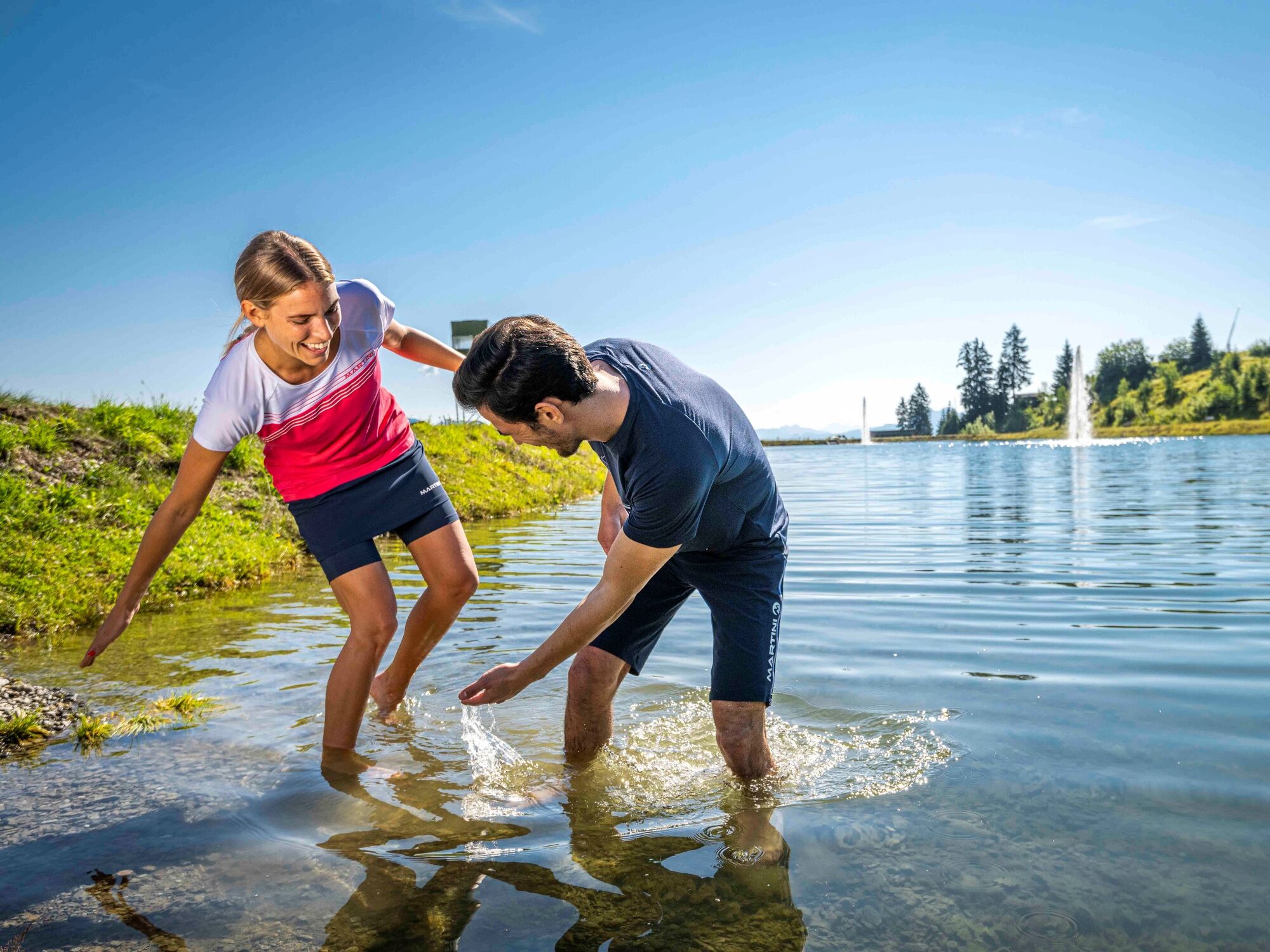
Verfrissingsstop
Flora
Veelbelovend
Meer rondleidingen in de regio's
-
Zell am See - Kaprun
1503
-
Schmittenhöhe
522


