

© Saalbach Hinterglemm - R View Productions
© Saalbach Hinterglemm - TVB Saalbach Hinterglemm

- Korte beschrijving
-
Family friendly tour
- Moeilijkheid
-
medium
- Waardering
-
- Route
-
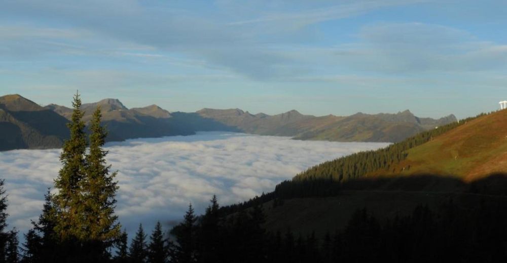
Montelino's ErlebniswegKohlmaiskopf (1.794 m)0,0 kmMardeckkopf (1.817 m)0,7 kmSchönleitenhütte3,9 kmBergeralm8,3 kmEderalm9,4 km
- Beste seizoen
-
janfebmrtaprmeijunjulaugsepoktnovdec
- Maximale hoogte
- 1.840 m
- Bestemming
-
Kohlmais lift middle station
- Hoogteprofiel
-


- Auteur
-
De rondleiding Kohlmais Rundtour (circular hike) wordt gebruikt door outdooractive.com op.
GPS Downloads


Algemene info
Verfrissingsstop
Veelbelovend
Meer rondleidingen in de regio's
-
Saalbach Hinterglemm
1594
-
Viehhofen
504


