
- Korte beschrijving
-
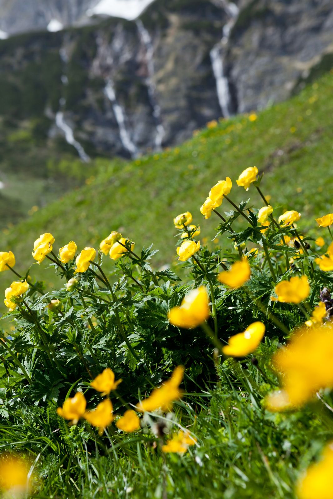
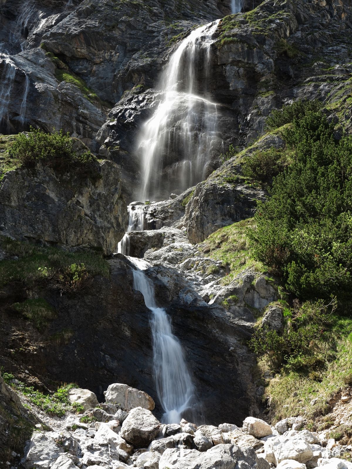
When hiking in Mühlbach, each step leads you deeper into nature. Fresh mountain air, towering rocks, idyllic hill farms, lush meadows, and legendary views of the alpine world – this is a balm for the soul. The network of hiking paths is well signposted and designated with the Austrian Hiking Seal of Quality.
- Moeilijkheid
-
gemakkelijk
- Waardering
-
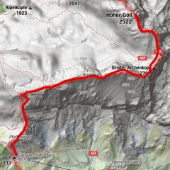
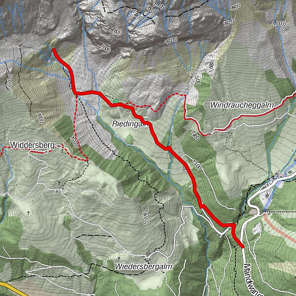
- Route
-
Riedingalm1,5 kmAuwald2,0 km
- Beste seizoen
-
janfebmrtaprmeijunjulaugsepoktnovdec
- Maximale hoogte
- 1.518 m
- Bestemming
-
Riedingtal
- Hoogteprofiel
-

- Auteur
-
De rondleiding Hike into the Riedingtal (waterfalls) wordt gebruikt door outdooractive.com op.
GPS Downloads

Algemene info
Verfrissingsstop
Cultureel/Historisch
Veelbelovend
Meer rondleidingen in de regio's
-
Hochkönig
2016
-
Mühlbach am Hochkönig
597