© Tourismusverband Flachau - Flachau Tourismus

© Tourismusverband Flachau - Flachau Tourismus

© Tourismusverband Flachau - Flachau Tourismus

© Tourismusverband Flachau - Flachau Tourismus

© Tourismusverband Flachau - Flachau Tourismus

© Tourismusverband Flachau - Flachau Tourismus

© Tourismusverband Flachau - Flachau Tourismus

© Tourismusverband Flachau - Flachau Tourismus

© Tourismusverband Flachau - Flachau Tourismus

© Tourismusverband Flachau - Flachau Tourismus

- Korte beschrijving
-
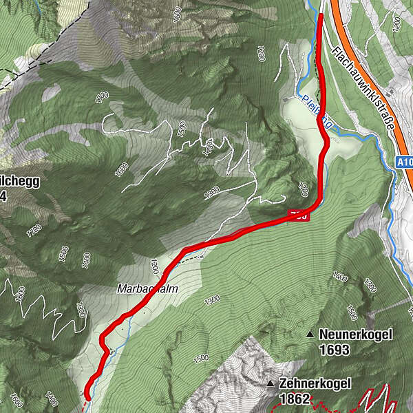
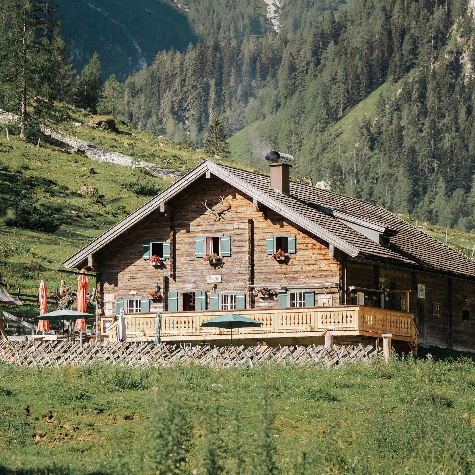
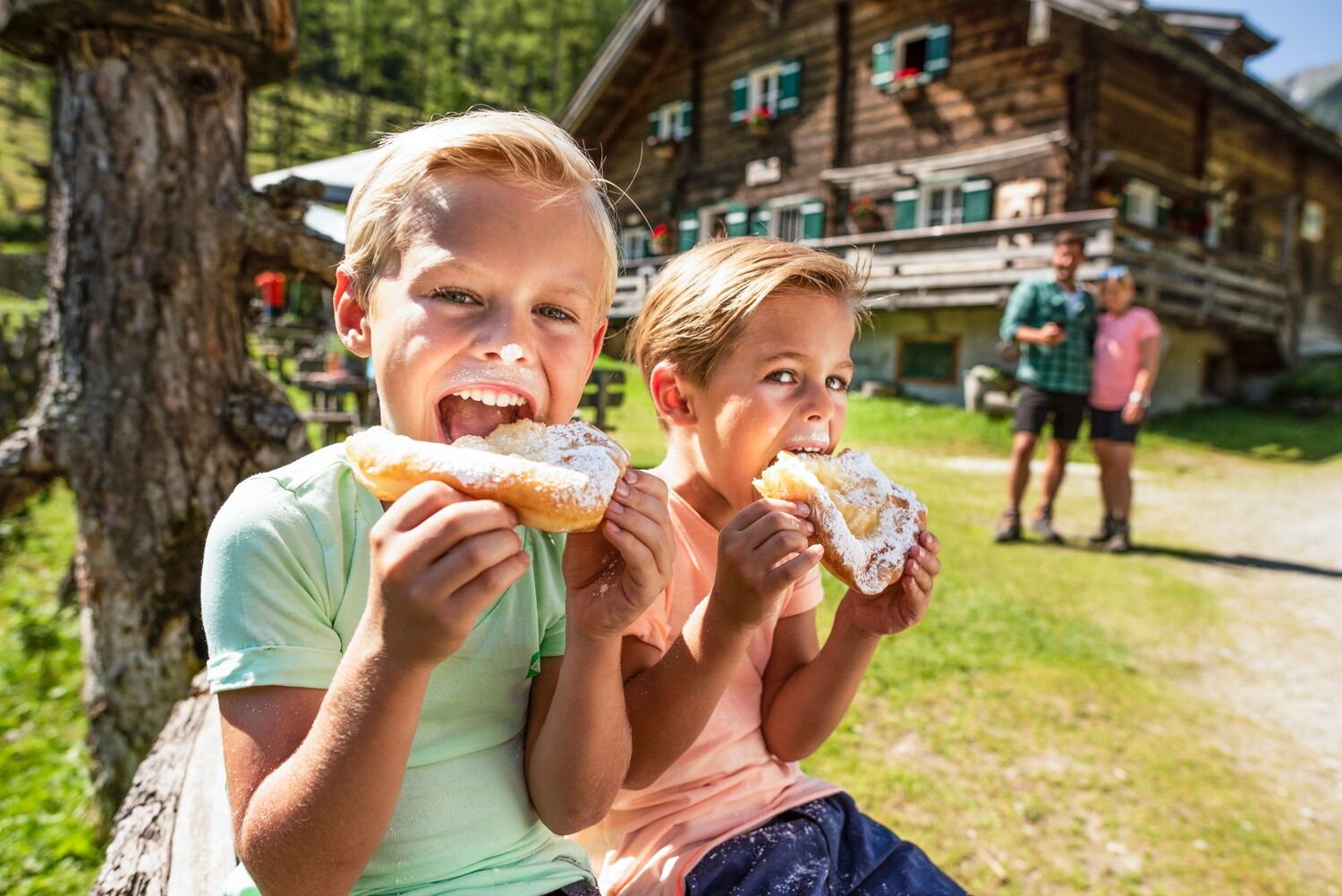
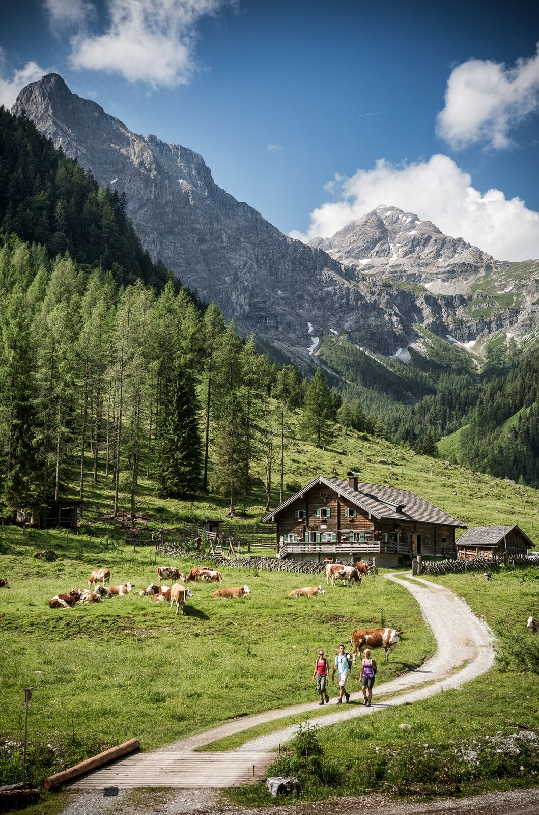
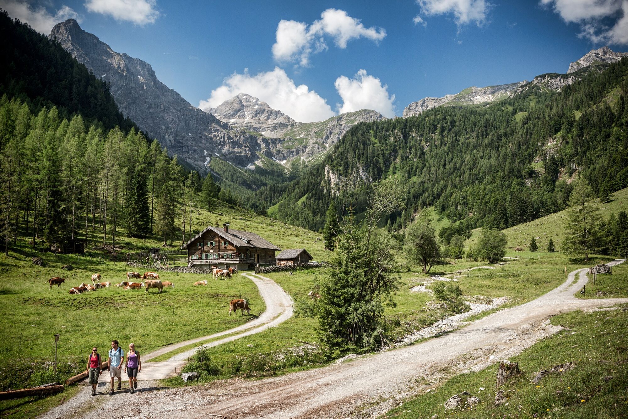
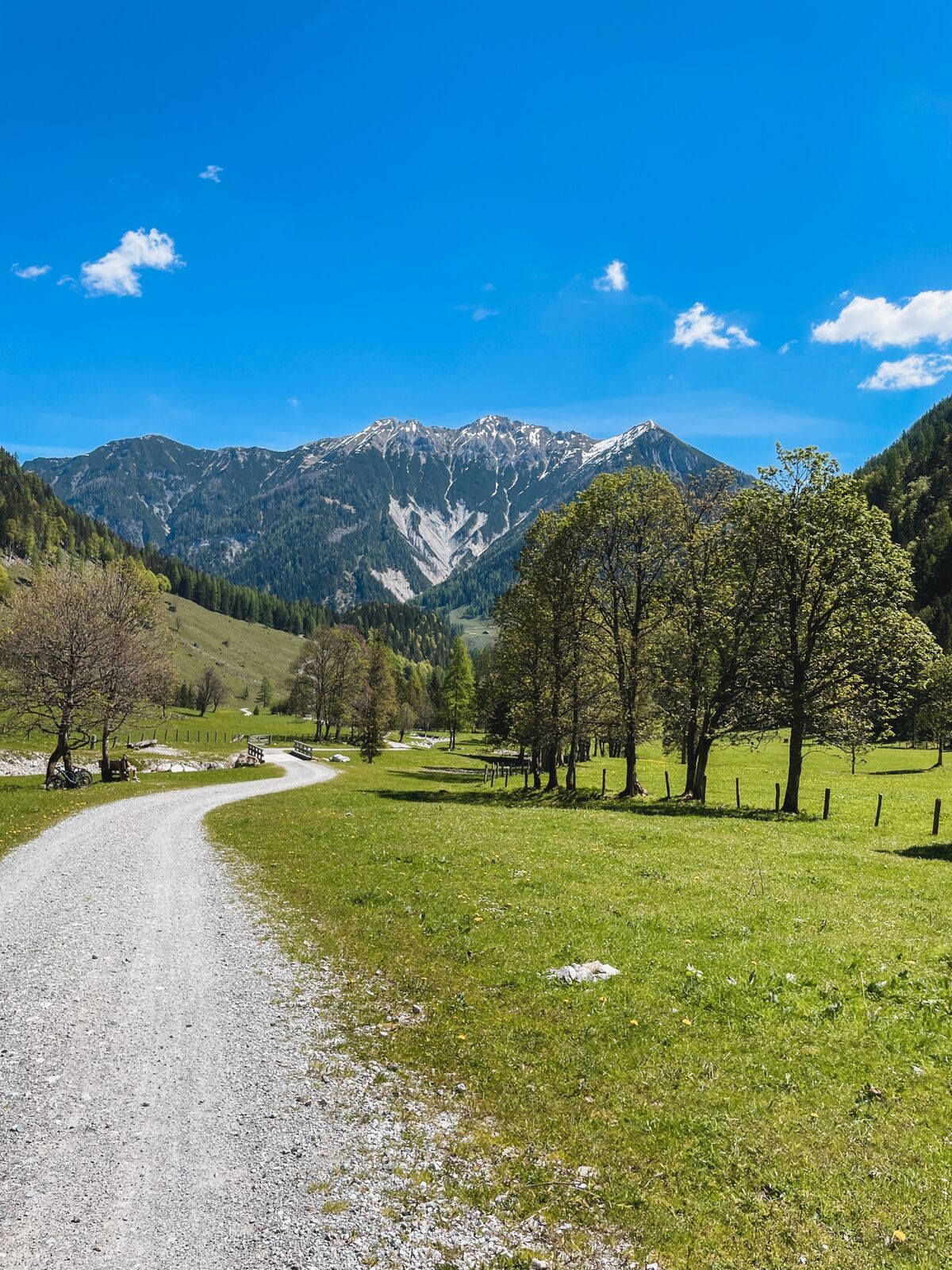
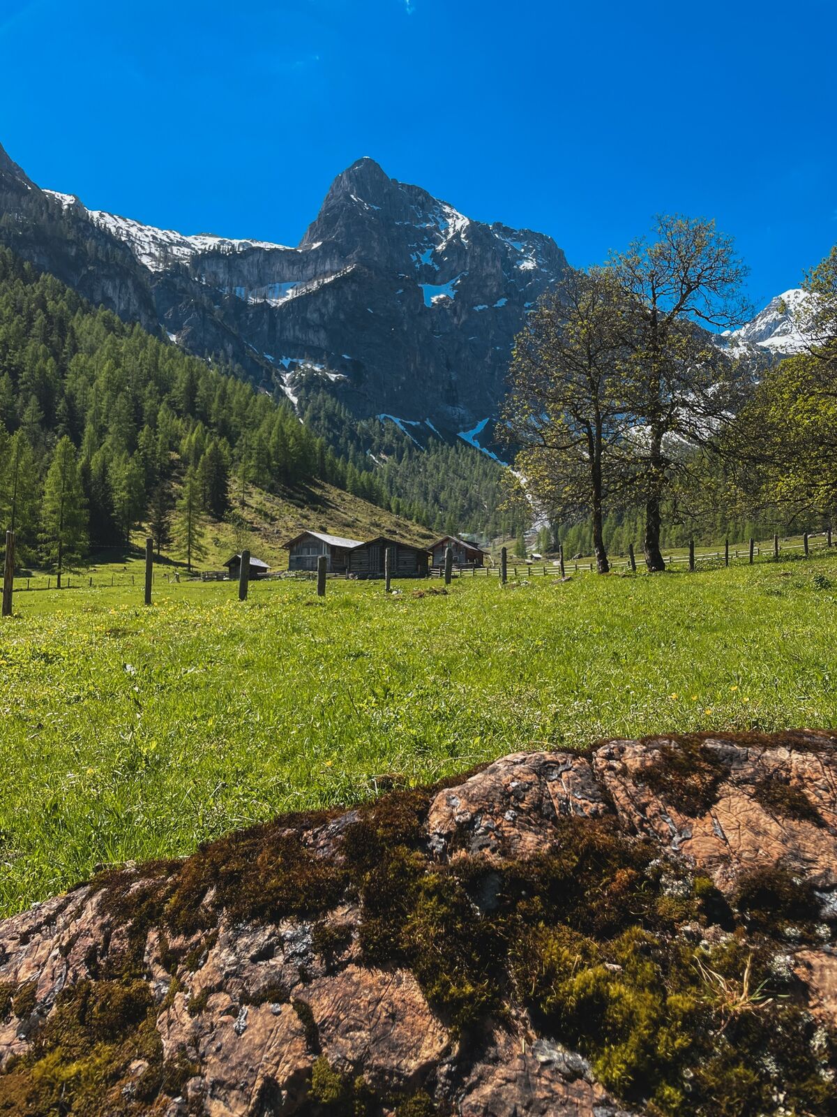
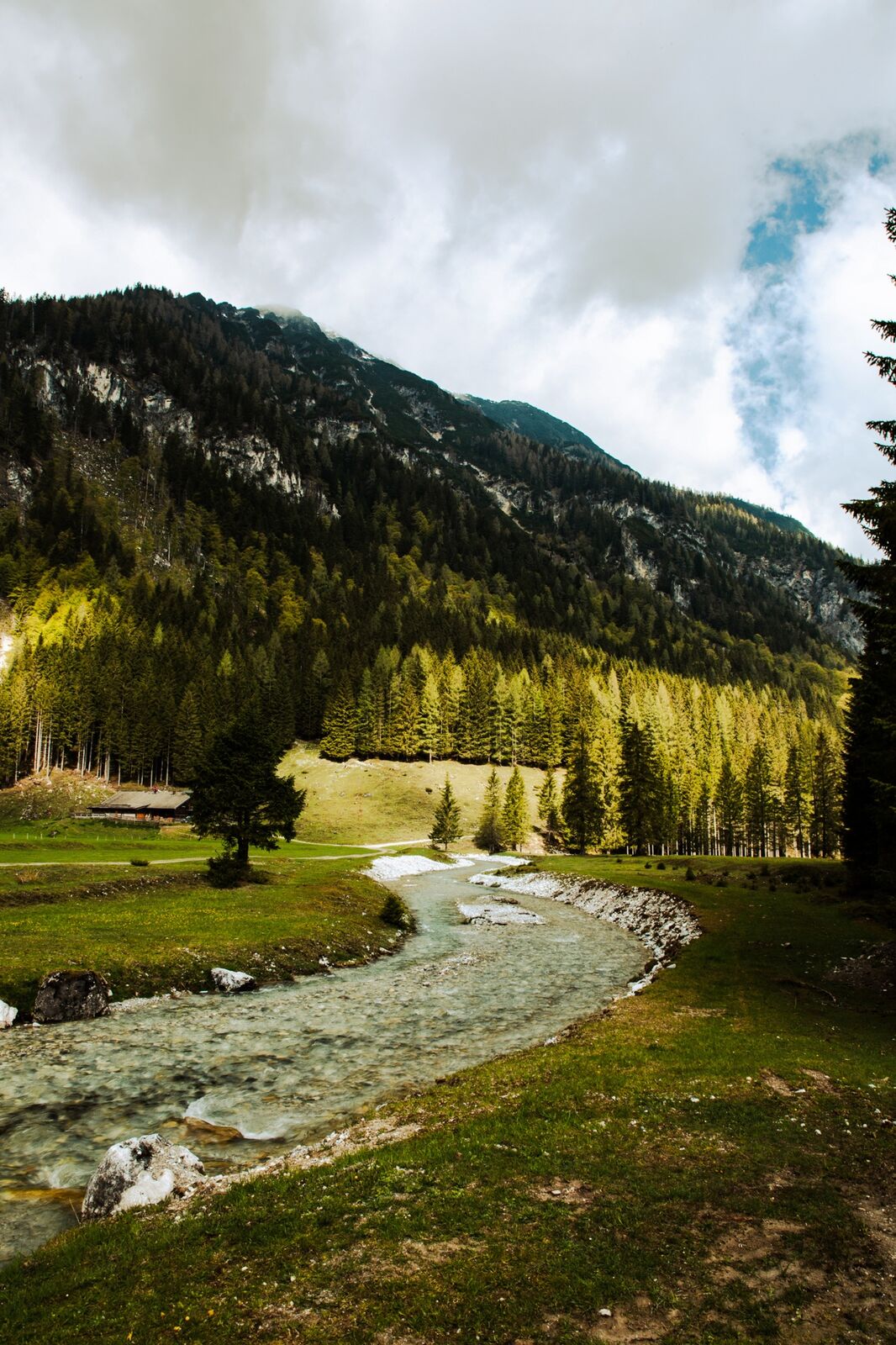
This easy and family-friendly hike leads to a beautiful alpine pasture area at the foot of the mighty mountain "Faulkogel".
- Moeilijkheid
-
gemakkelijk
- Waardering
-
- Route
-
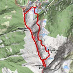
Hintere Marbachalm2,9 km
- Beste seizoen
-
janfebmrtaprmeijunjulaugsepoktnovdec
- Maximale hoogte
- 1.263 m
- Bestemming
-
Hintere Marbachalm
- Hoogteprofiel
-

-

-
AuteurDe rondleiding Flachauwinkl - Marbachtal (730) wordt gebruikt door outdooractive.com op.
GPS Downloads


Algemene info
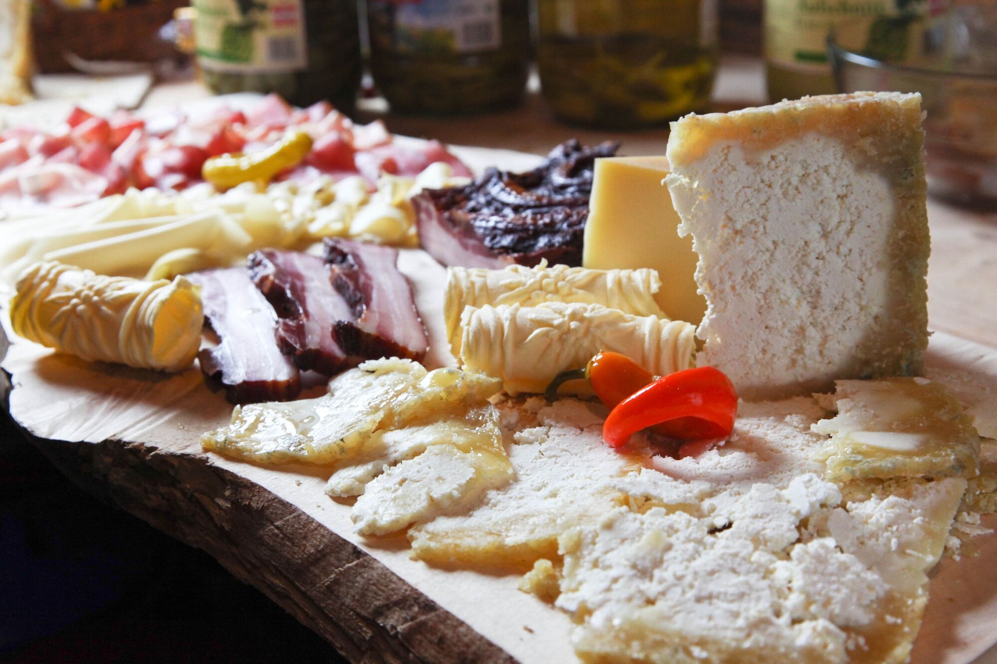
Verfrissingsstop
Veelbelovend
Meer rondleidingen in de regio's
-
Katschberg Lieser-Maltatal
2557
-
Salzburger Sportwelt
2193
-
Flachau
614