© Kitzsteinhorn

© Kitzsteinhorn

© Kitzsteinhorn

© Kitzsteinhorn

- Korte beschrijving
-
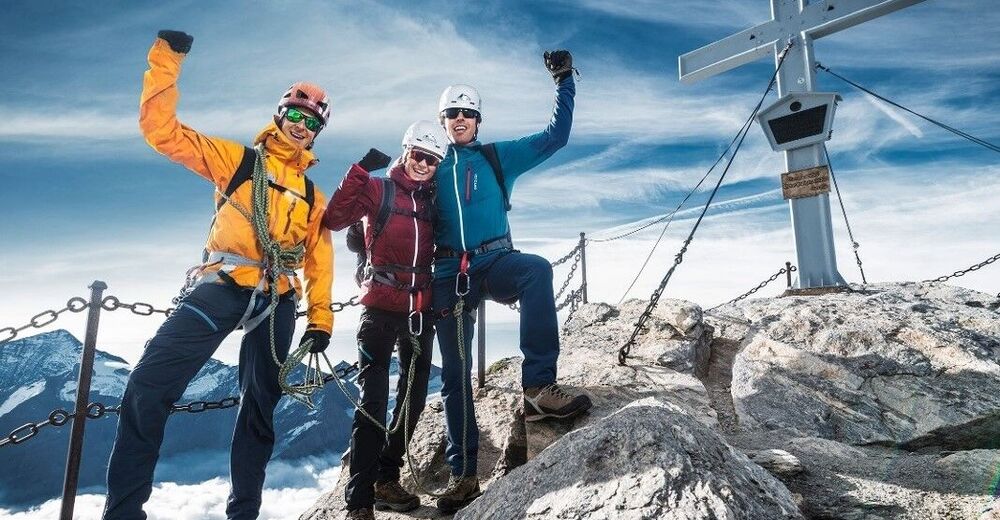
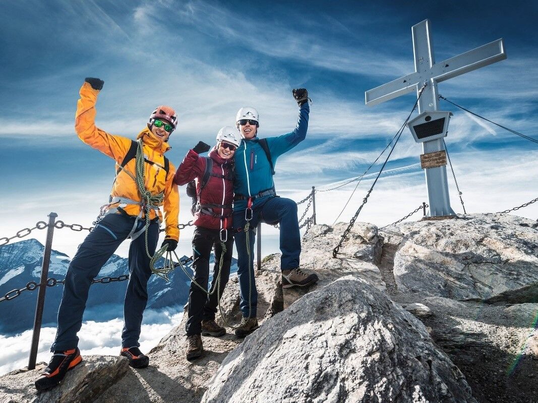
Have an amazing tour to the peak of the Kitzsteinhorn!
- Moeilijkheid
-
zwaar
- Waardering
-
- Route
-
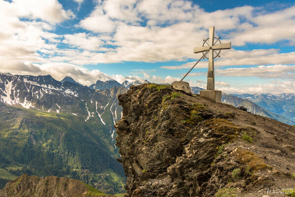
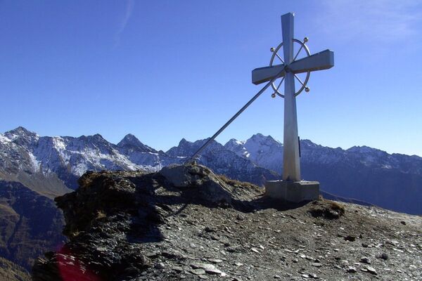
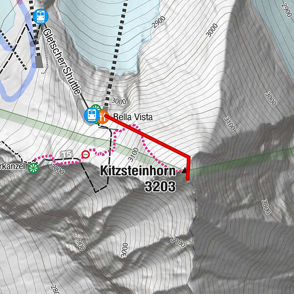
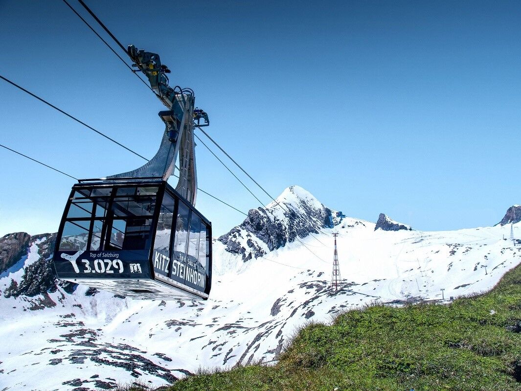
Gletscher ShuttleBella VistaKitzsteinhorn (3.203 m)0,3 km
- Beste seizoen
-
janfebmrtaprmeijunjulaugsepoktnovdec
- Maximale hoogte
- 3.165 m
- Bestemming
-
Gipfel auf 3.203 m
- Hoogteprofiel
-


-

-
AuteurDe rondleiding Kitzsteinhorn 3.203 m - Ascent to the peak wordt gebruikt door outdooractive.com op.
GPS Downloads


Algemene info
Veelbelovend
Meer rondleidingen in de regio's