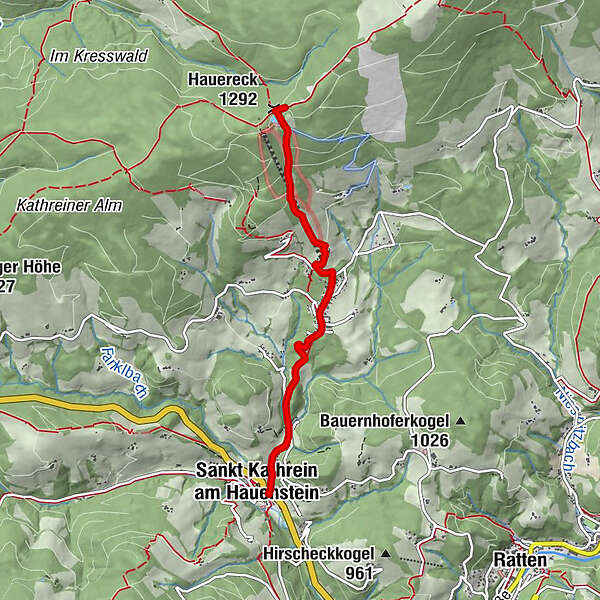
"alpannonia" - feeder road: St. Kathrein am Hauenstein - Hauereck


© Oststeiermark Tourismus - Birgit Kandlbauer

© Familie Lehofer - TV Joglland-Waldheimat

© Oststeiermark Tourismus - Gemeinde St. Kathrein am Hauenstein

© Gemeinde St. Kathrein am Hauenstein - Tourismusverband Oststeiermark
- Korte beschrijving
-
From the UNESCO World Heritage Site Semmering or from the high altitude health resort Fischbach to the edge of the Pannonian plain near Köszeg, a path full of variety and attractions of nature leads: alpannonia®.
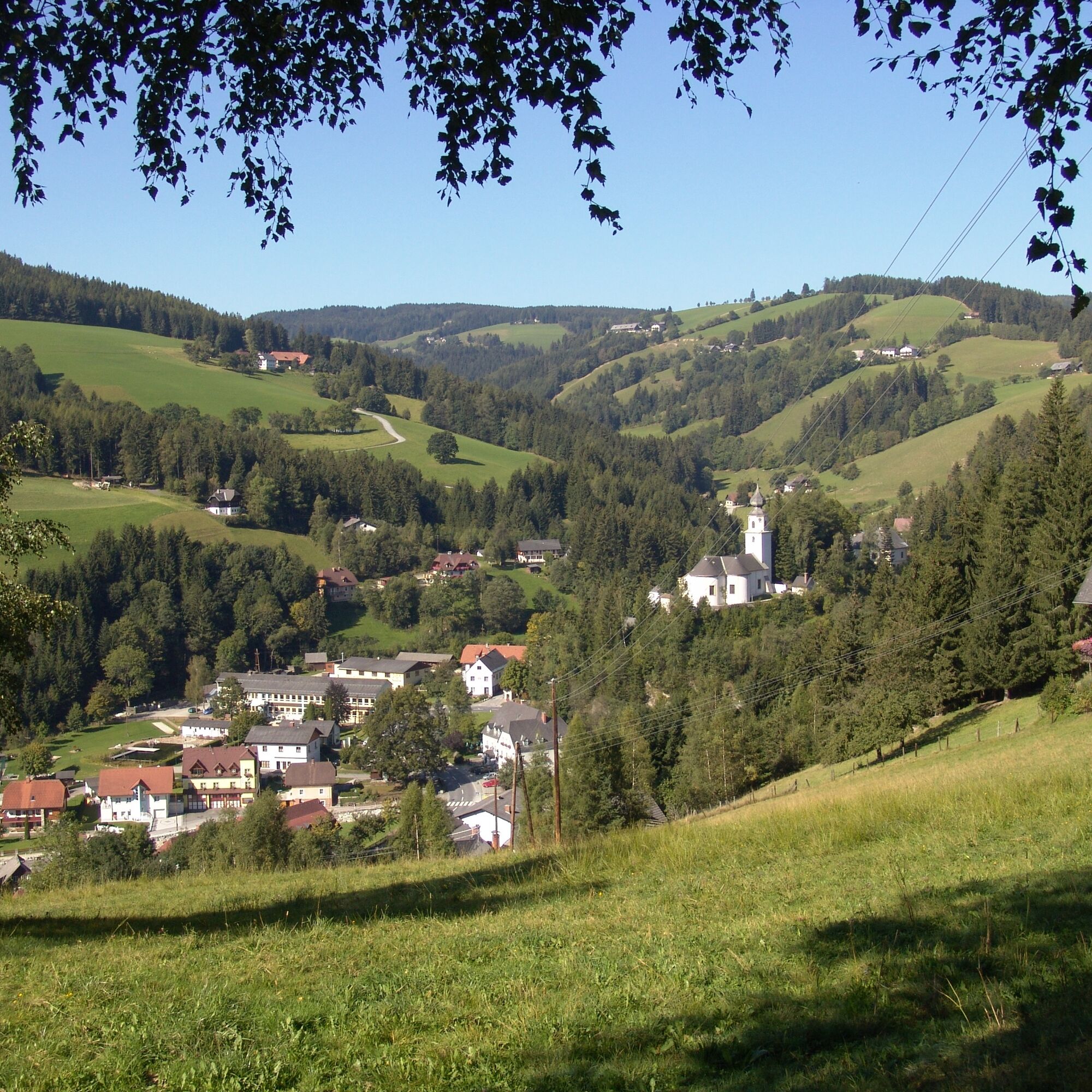
But it is also no problem if you want to start the trekking tour in the village of St. Kathrein am Hauenstein. From there the tour leads up to the Hauereck, where you can join the alpannonia trail. Also then you can call yourself an "alpannonier".
- Moeilijkheid
-
medium
- Waardering
-
- Route
-
Sankt Kathrein am HauensteinBergbausiedlung1,9 kmHauereckschutzhütte4,0 kmHauereck (1.292 m)4,0 km
- Beste seizoen
-
janfebmrtaprmeijunjulaugsepoktnovdec
- Maximale hoogte
- 1.301 m
- Bestemming
-
Hauereck hut on the Hauereck mountain
- Hoogteprofiel
-


- Auteur
-
De rondleiding "alpannonia" - feeder road: St. Kathrein am Hauenstein - Hauereck wordt gebruikt door outdooractive.com op.
GPS Downloads


Algemene info
Verfrissingsstop
Veelbelovend
Meer rondleidingen in de regio's