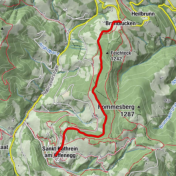
Weizer Almenland bike tour, section, St. Kathrein/Offenegg – Brandlucken

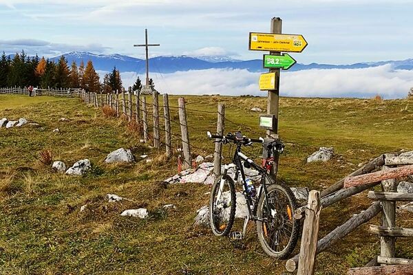
Mountainbike

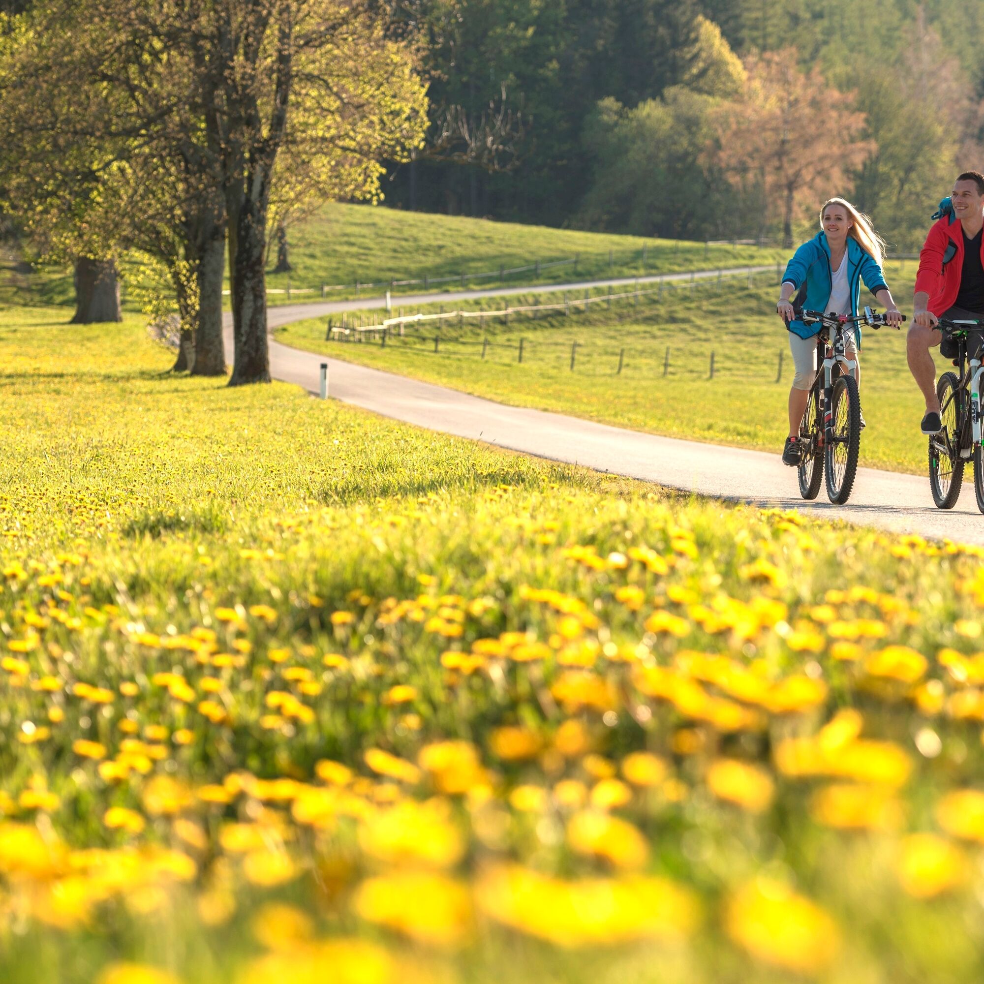
© Oststeiermark Tourismus - Bernhard Bergmann

© Oststeiermark Tourismus - Therese Raser
- Korte beschrijving
-
This section of the route is the connection route from St. Kathrein/Offenegg to Brandlucken.
- Moeilijkheid
-
medium
- Waardering
-
- Route
-
Dorf0,1 kmSankt Kathrein am Offenegg0,1 kmOberdorf0,4 kmGasthof Jagawirt5,9 kmBrandlucken6,0 km
- Beste seizoen
-
janfebmrtaprmeijunjulaugsepoktnovdec
- Maximale hoogte
- 1.171 m
- Bestemming
-
Brandlucken
- Hoogteprofiel
-


-

-
AuteurDe rondleiding Weizer Almenland bike tour, section, St. Kathrein/Offenegg – Brandlucken wordt gebruikt door outdooractive.com op.
GPS Downloads


Algemene info
Verfrissingsstop
Veelbelovend
Meer rondleidingen in de regio's