© Steiermark Tourismus - Harry Schiffer
© Steiermark Tourismus - Harry Schiffer
© Steiermark Tourismus - Harry Schiffer
© Steiermark Tourismus/Harry Schiffer

- Korte beschrijving
-
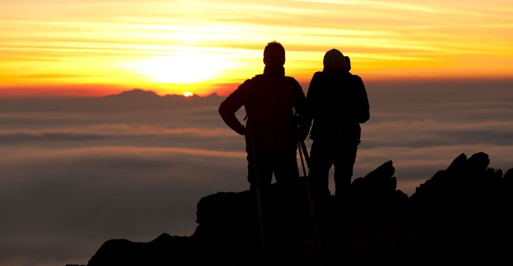
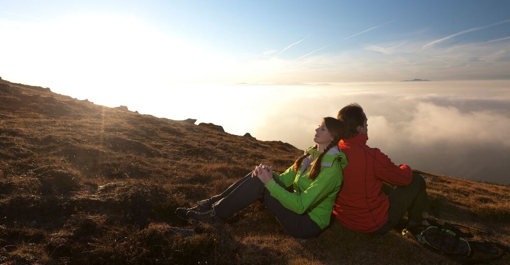
The Way of St. James in Western Styria was opened on 25 July 2010 and is divided into eight stages. These were chosen so that they are manageable for average hikers. Overnight accommodation is available at the end of each stage. Particularly athletic pilgrims will probably manage a larger daily workload; in the event of bad weather or sightseeing, the mileage will be less.
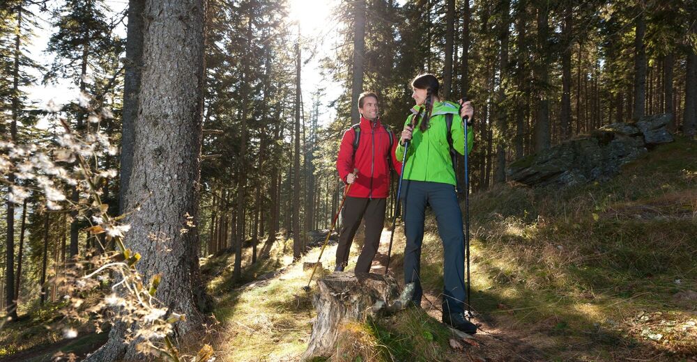
For the most part, the trail leads along existing hiking and pilgrimage routes and partly along asphalted municipal and provincial roads.
- Moeilijkheid
-
zwaar
- Waardering
-
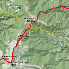
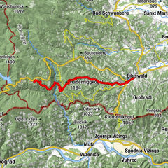
- Route
-
Pfarrkirche hl. Jakobus d. Ä.0,0 kmSoboth0,0 kmJankitz-Trögli9,7 kmLorenzenberg12,1 kmGH Hüttenwirt18,7 kmPfarrdorf18,9 kmGH Krone20,0 kmLavamünd20,0 kmGasthof Adlerwirt20,1 kmGasthof Torwirt20,1 kmMarktkirche Lavamünd20,2 km
- Beste seizoen
-
janfebmrtaprmeijunjulaugsepoktnovdec
- Maximale hoogte
- 1.427 m
- Bestemming
-
Lavamünd
- Hoogteprofiel
-


-

-
AuteurDe rondleiding Stage 8: Way of St. James Western Styria wordt gebruikt door outdooractive.com op.
GPS Downloads


Algemene info
Cultureel/Historisch
Veelbelovend
Meer rondleidingen in de regio's
-
Klopeiner See - Südkärnten
1161
-
Koroška
159
-
Lavamünd
61