Skitour to the Karlspitz & Schreinl

Logo Skitour to the Karlspitz & Schreinl
Toerdatums
8,54km
1.593 - 2.151m
Afstand
703hm
691hm
Opstijging
04:00h
 
Duur
Korte beschrijving

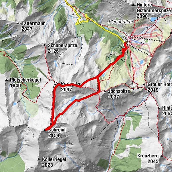
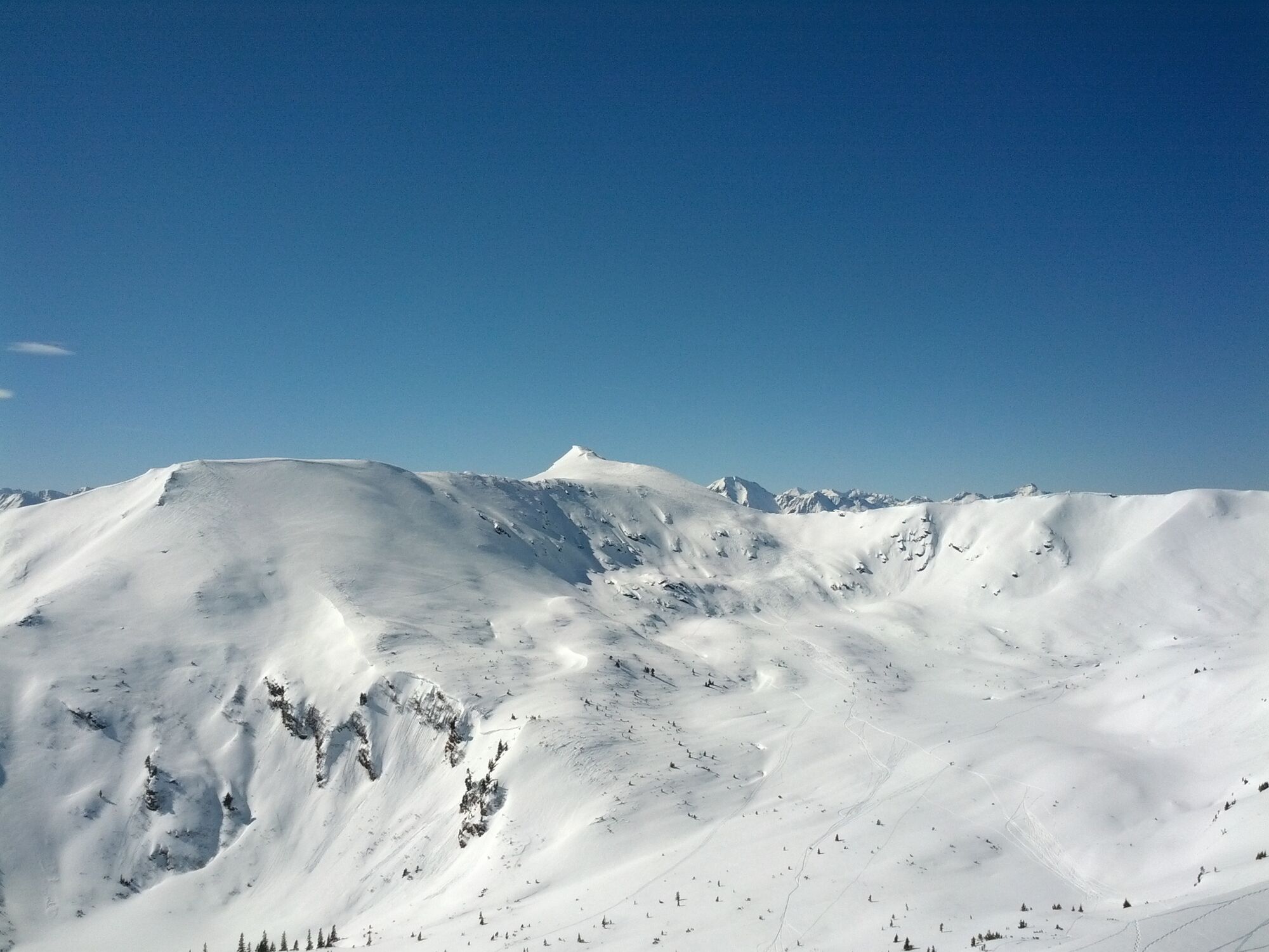
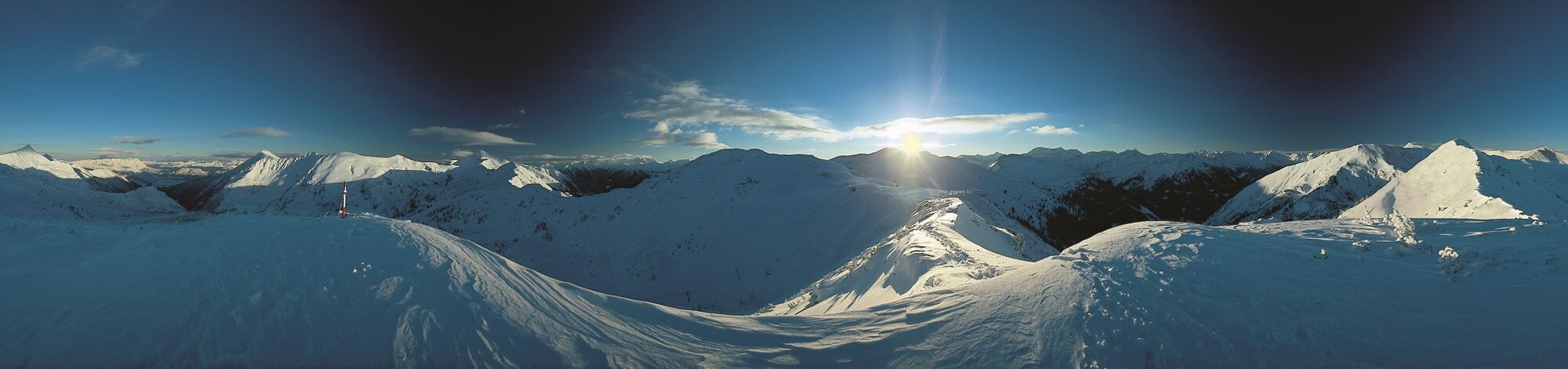
Medium-difficulty ski tour with double summit happiness! Wide slopes and wonderful descents, which are still possible in spring.

Moeilijkheid
medium
Waardering
Techniek
Conditie
Landschap
Belevenis
Route
Schreinl (2.154 m)
4,4 km
Goldbachscharte (1.960 m)
6,3 km

Beste seizoen
aug
sep
okt
nov
dec
jan
feb
mrt
apr
mei
jun
jul
Maximale hoogte
2.151 m
Bestemming

At the starting point

Exposition
Hoogteprofiel

Auteur
De rondleiding Skitour to the Karlspitz & Schreinl wordt gebruikt door outdooractive.com op.

4,0
Algemene beoordeling

5

40

%

4

40

%

3

0

%

2

20

%

1

0

%

GPS Downloads
  • GPX GPS Exchange Format (XML)
  • KML Google Earth, Google Maps
QR Downloadcodes voor mobiele telefoons

Algemene info

Verfrissingsstop
Veelbelovend
Meer rondleidingen in de regio's

Populaire rondleidingen in de omgeving

Hochweberspitze

zwaar Toerskitocht
20,93km | 1205hm | 06:00h

Night Ski tour Riesneralm

medium Toerskitocht
6,91km | 812hm | 02:30h

Hintergullingspitz

medium Toerskitocht
6,69km | 604hm | 03:30h

Hochschwung

medium Toerskitocht
6,21km | 958hm | 02:30h