© Erlebnisregion Thermen- & Vulkanland - TV Gnas-St. Peter am Ottersbach

© Erlebnisregion Thermen- & Vulkanland - TV Gnas-St. Peter am Ottersbach
© Erlebnisregion Thermen- & Vulkanland - TV Gnas-St. Peter am Ottersbach

© Erlebnisregion Thermen- & Vulkanland - TV Gnas-St. Peter am Ottersbach

© Erlebnisregion Thermen- & Vulkanland - TV Gnas-St. Peter am Ottersbach

© Erlebnisregion Thermen- & Vulkanland - Daniela Neubauer

© Erlebnisregion Thermen- & Vulkanland - Daniela Neubauer

© Erlebnisregion Thermen- & Vulkanland - Daniela Neubauer
- Korte beschrijving
-
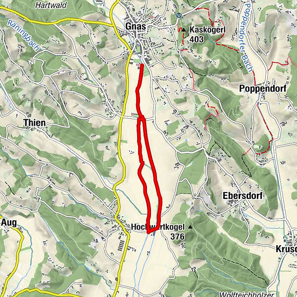
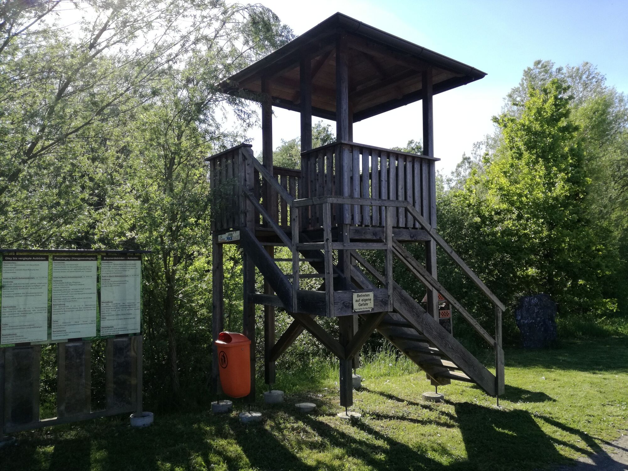
Let's experience the fascination of nature and learn interesting facts about the southeast Styrian landscape and agriculture! Beautiful path along the Gnasbach stream.
- Moeilijkheid
-
gemakkelijk
- Waardering
-
- Route
-
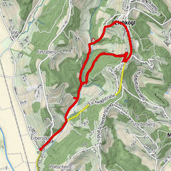
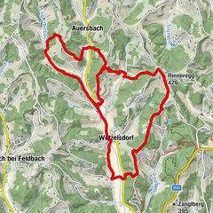
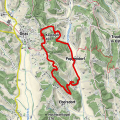
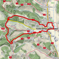
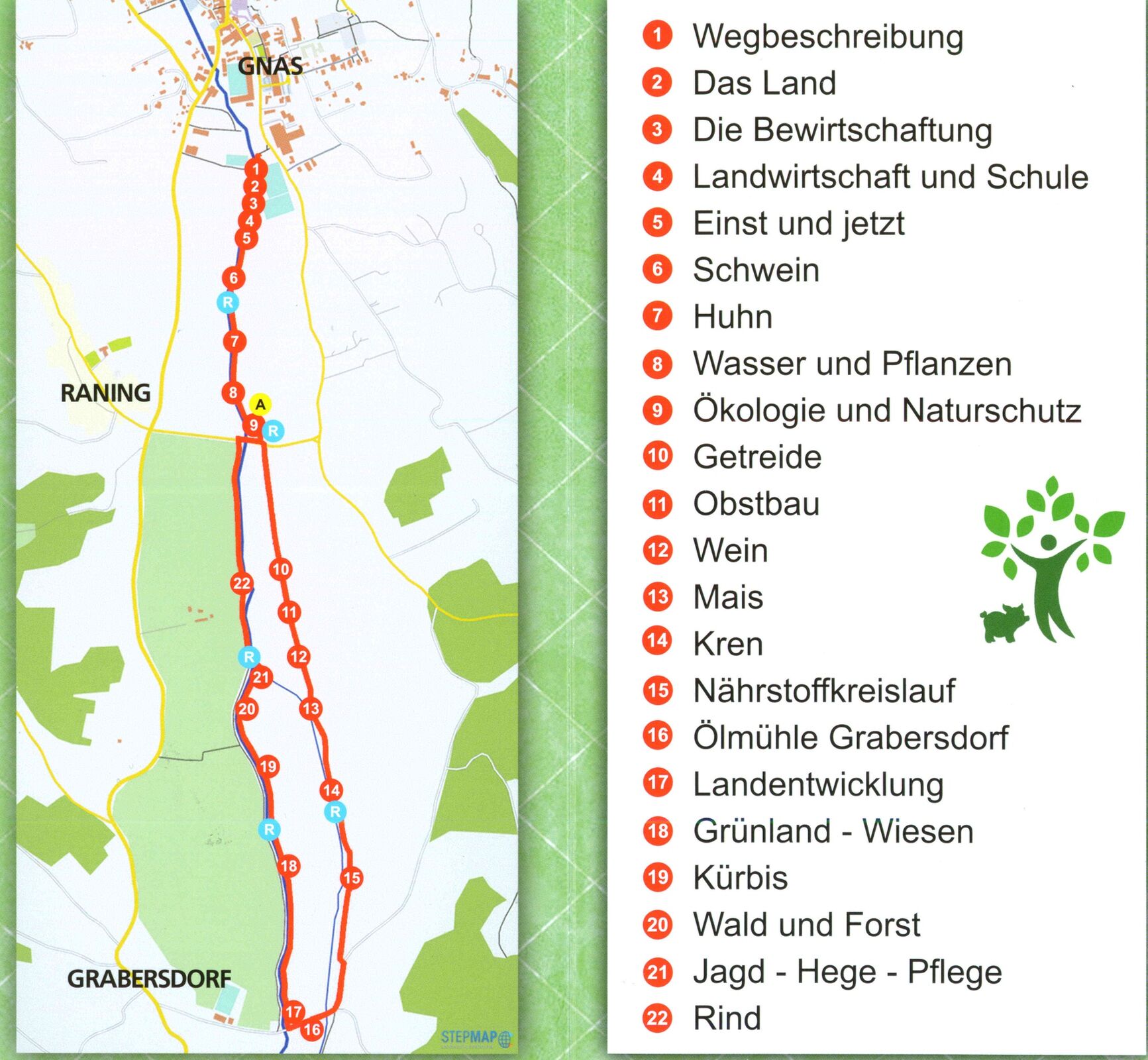
Raning0,7 kmGrabersdorf3,3 kmRaning5,5 km
- Beste seizoen
-
janfebmrtaprmeijunjulaugsepoktnovdec
- Maximale hoogte
- 272 m
- Bestemming
-
Sportplatz Gnas
- Hoogteprofiel
-


- Auteur
-
De rondleiding Tier-Wald-Feld - Landwirtschaftlicher Themenweg wordt gebruikt door outdooractive.com op.
GPS Downloads


Meer rondleidingen in de regio's
-
Oststeiermark
2126
-
Bad Gleichenberg
372
-
Gnas
141