© TV Gesäuse - Tourismusverband Gesäuse

© TV Gesäuse - Tourismusverband Gesäuse

© TV Gesäuse - Tourismusverband Gesäuse

© TV Gesäuse - Tourismusverband Gesäuse

© TV Gesäuse - Tourismusverband Gesäuse

© TV Gesäuse - Tourismusverband Gesäuse

© TV Gesäuse - Tourismusverband Gesäuse

© TV Gesäuse - Tourismusverband Gesäuse

© TV Gesäuse - Tourismusverband Gesäuse

© TV Gesäuse - Tourismusverband Gesäuse

- Korte beschrijving
-
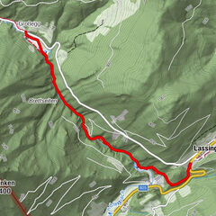
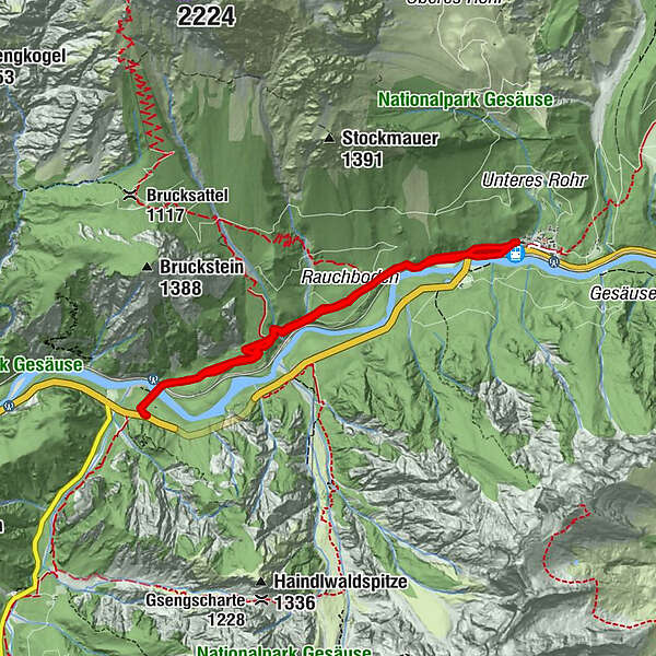
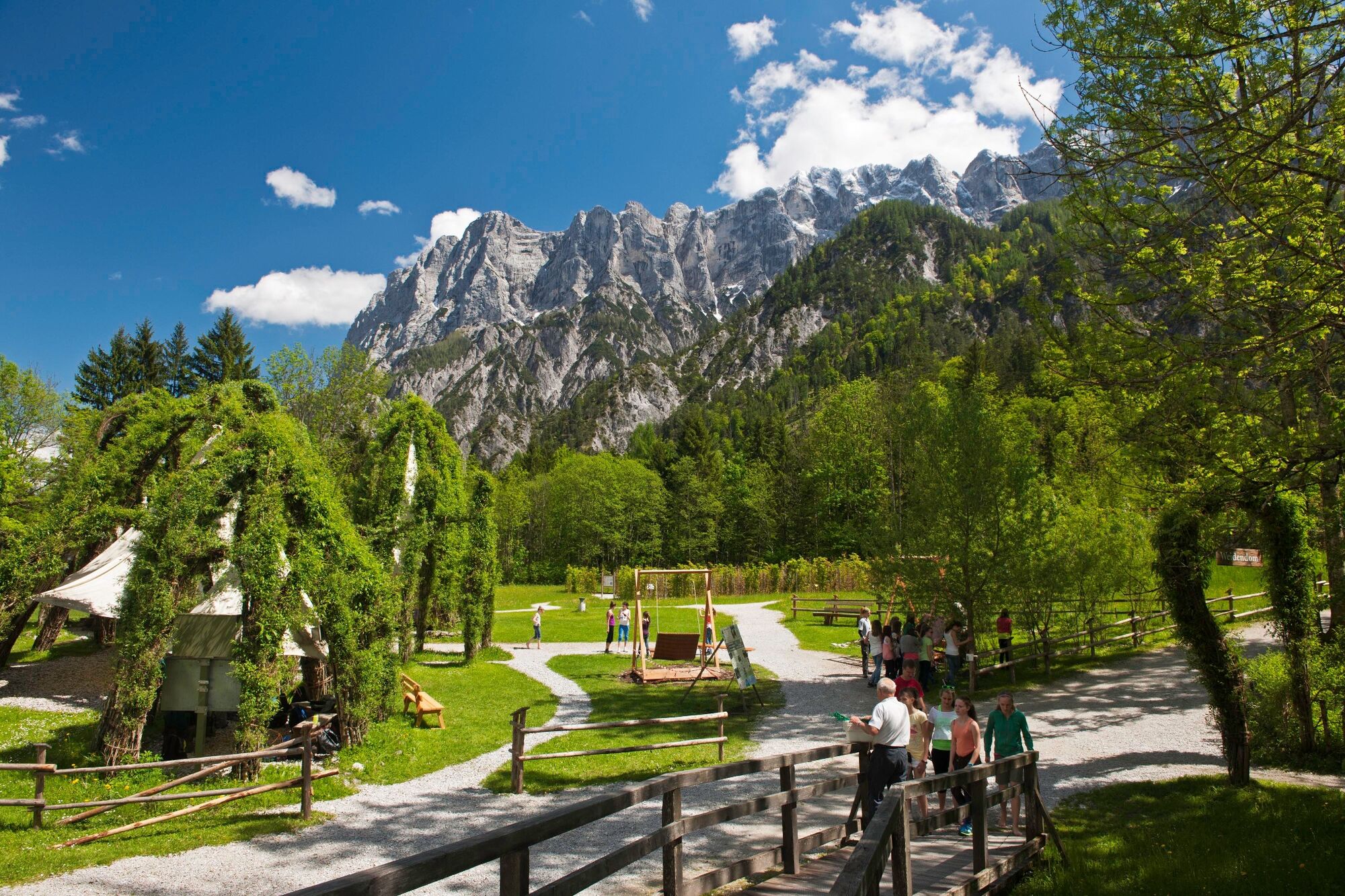
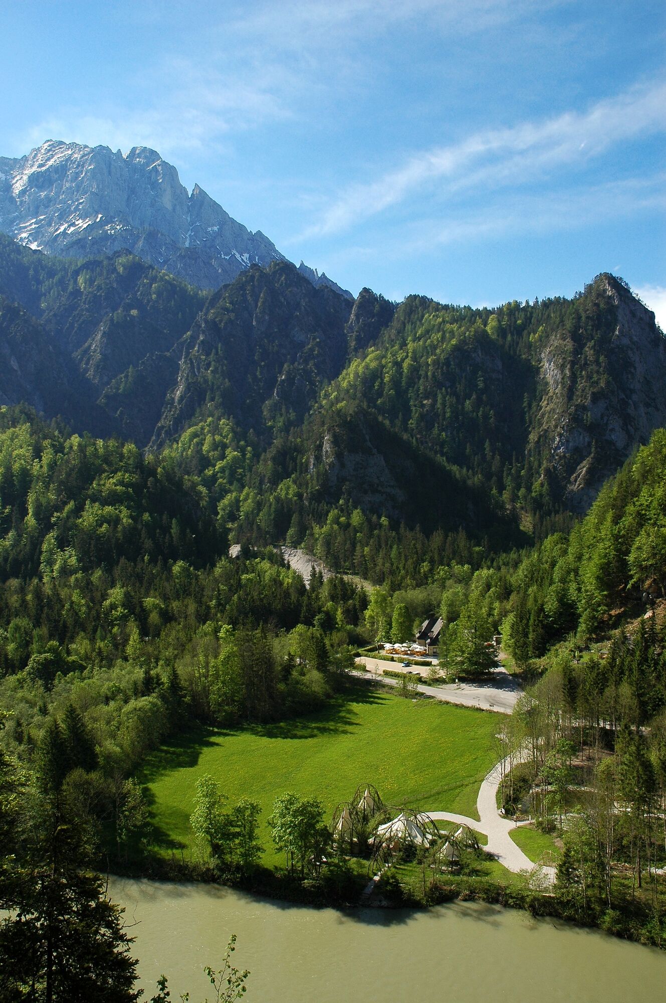
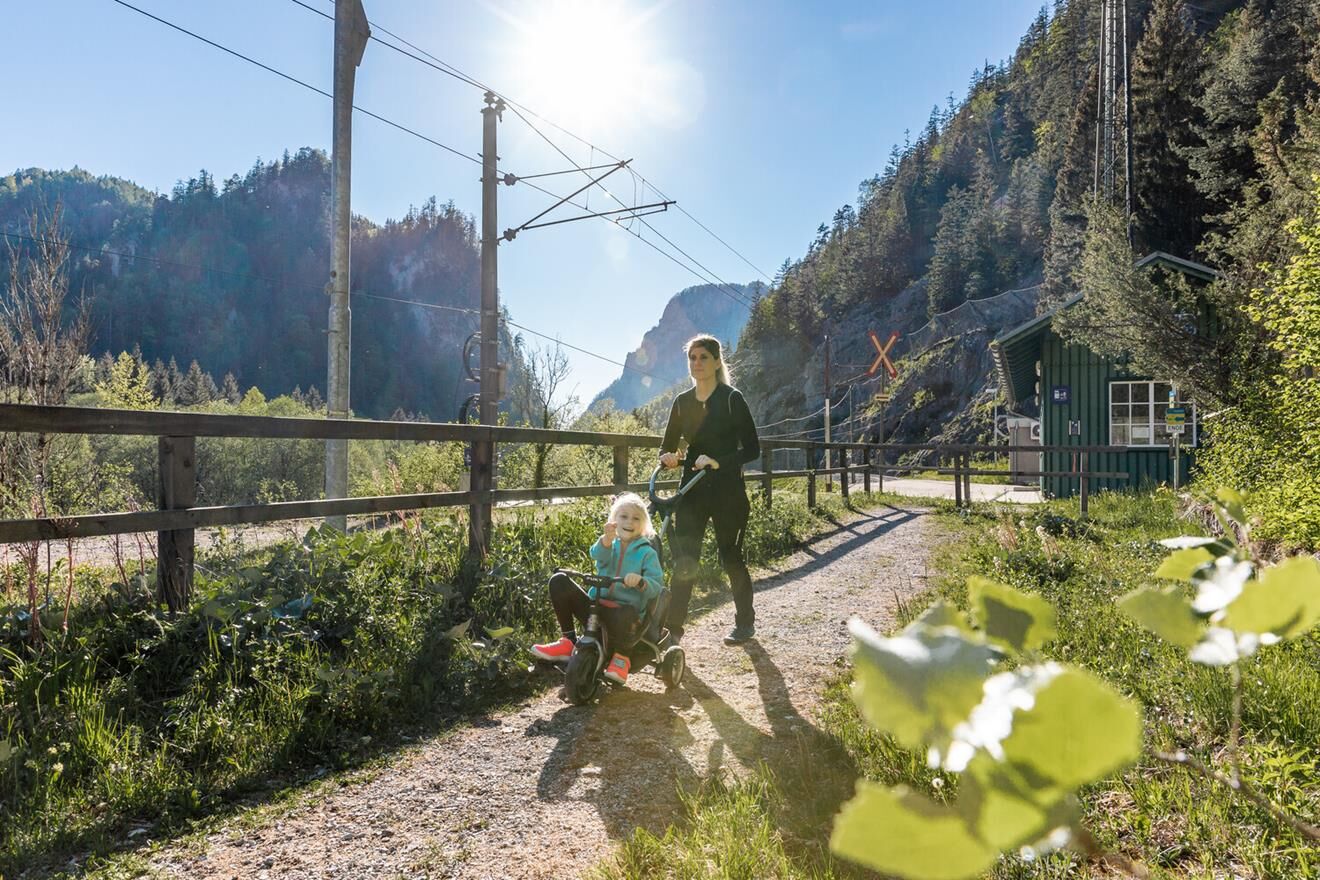
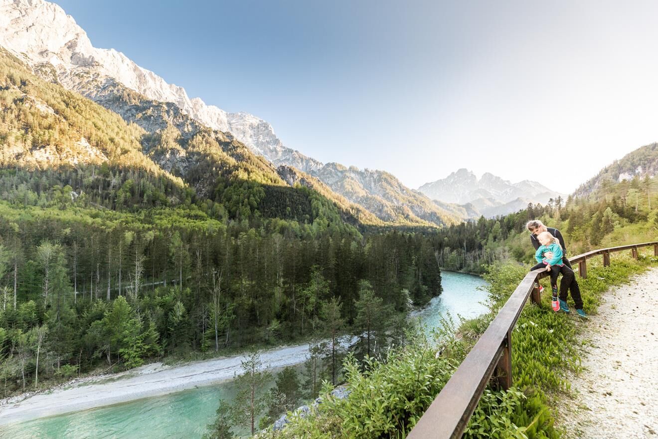
The special thing about the Rauchbodenweg is that, despite the easy terrain, you can still look deep down. On the one hand, you can see down to the Enns, which roars tirelessly along. On the other hand, you can look up into the legendary rock world of the Gesäuse. There is an unforgettable view into the Haindlkar with the Peternpfad and there the striking Hochtorgruppe greets you. And all this in just an hour's walk.
- Moeilijkheid
-
gemakkelijk
- Waardering
-
- Beste seizoen
-
janfebmrtaprmeijunjulaugsepoktnovdec
- Maximale hoogte
- 649 m
- Bestemming
-
Bahnhof Gstatterboden
- Hoogteprofiel
-


-

-
AuteurDe rondleiding Nature trail Rauchboden wordt gebruikt door outdooractive.com op.
GPS Downloads


Algemene info
Verfrissingsstop
Flora
Veelbelovend
Meer rondleidingen in de regio's
-
Gesäuse
2225
-
Steyr und die Nationalpark Region
1371
-
St. Gallen
174