HWW-Hiking route: Dechantskirchen - Heiligenbrunn - Kroisbach (circular trail)

Themapad

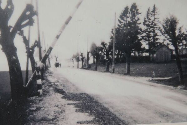
© Oststeiermark Tourismus - XKarin Hofer
- Korte beschrijving
-
This HWW hiking route is part of the Wechselland Historical Long-Distance Hiking Trail (HWW), which tells the story of Wechselland along more than 100 HWW stations. More information can be found at www.wechsel-wandern.at.
- Moeilijkheid
-
gemakkelijk
- Waardering
-
- Route
-
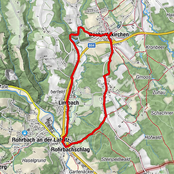
Dechantskirchen0,1 kmLimbach3,8 kmRohrbachschlag5,2 kmHeiligenbrunn5,7 kmKroisbach7,5 kmOrtskapelle7,5 kmGasthof - Cafe "Waldhaus"8,1 kmPfarrkirche hl. Stefan9,2 kmDechantskirchen9,3 km
- Beste seizoen
-
janfebmrtaprmeijunjulaugsepoktnovdec
- Maximale hoogte
- 563 m
- Bestemming
-
Dechantskirchen
- Hoogteprofiel
-


-

-
AuteurDe rondleiding HWW-Hiking route: Dechantskirchen - Heiligenbrunn - Kroisbach (circular trail) wordt gebruikt door outdooractive.com op.
GPS Downloads


Algemene info
Cultureel/Historisch
Meer rondleidingen in de regio's
-
Wiener Alpen
3035
-
Kräuterregion Wechselland
1080
-
Dechantskirchen
230