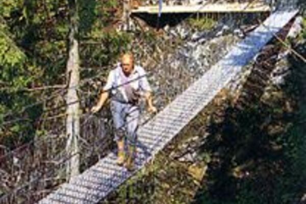
© Oststeiermark Tourismus - ©Walter Schneider

© Oststeiermark Tourismus - Tourismusverband Oststeiermark

© Oststeiermark Tourismus - Bernhard Bergmann

© Oststeiermark Tourismus - Rene Strasser

© Oststeiermark Tourismus - Rene Strasser

© Outdooractive – 3D Videos
- Korte beschrijving
-
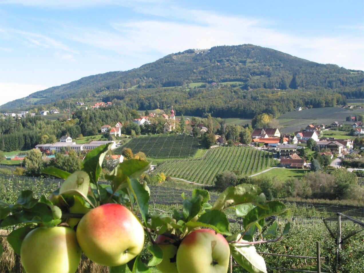
The apple village of Puch is the starting point for a true "journey into paradise".
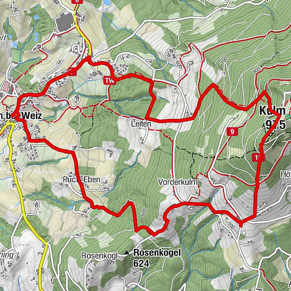
The circular hiking trail leads up to the Kulm at 975 m, which was already inhabited in Celtic times and offers a magnificent panoramic view.
- Moeilijkheid
-
medium
- Waardering
-
- Route
-
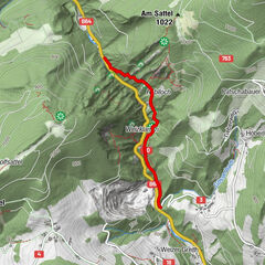
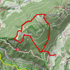
Puch bei WeizEiteljörg0,0 kmPuch-Eben1,1 kmVorderkulm2,7 kmI4,3 kmKulm (975 m)4,3 kmIV4,4 kmV4,4 kmIII4,4 kmII4,4 kmLeiten6,1 kmSt. Pauls Kapelle7,1 kmPfarrkirche Puch8,0 kmPuch bei Weiz8,1 kmEiteljörg8,1 km
- Beste seizoen
-
janfebmrtaprmeijunjulaugsepoktnovdec
- Maximale hoogte
- 940 m
- Bestemming
-
Municipal office Puch bei Weiz
- Hoogteprofiel
-


-

-
AuteurDe rondleiding Rosenkogel- Kulmweg, Puch bei Weiz wordt gebruikt door outdooractive.com op.
GPS Downloads


Meer rondleidingen in de regio's
-
Oststeiermark
2126
-
ApfelLand - Stubenbergsee
1140
-
Puch bei Weiz
335