Schwarzensee - Putzentalalm

Logo Schwarzensee - Putzentalalm
Toerdatums
12,06km
1.079 - 1.360m
Afstand
335hm
345hm
Opstijging
03:30h
 
Duur
Korte beschrijving

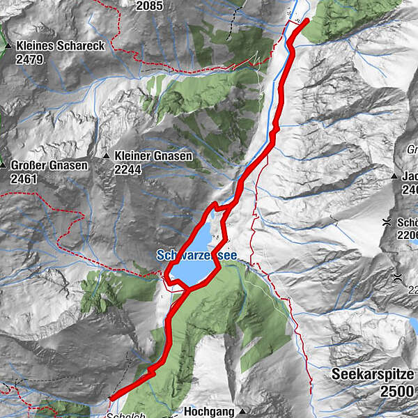
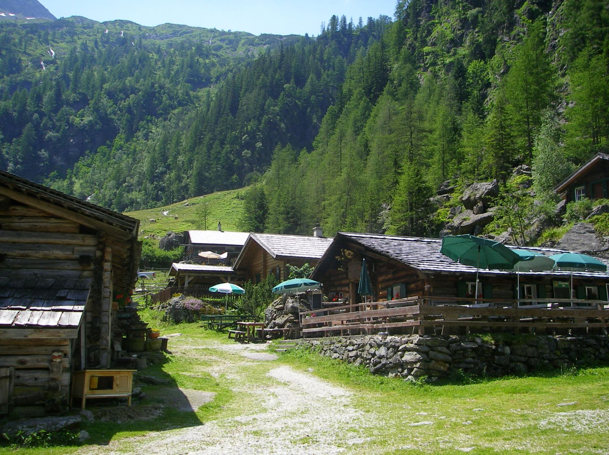
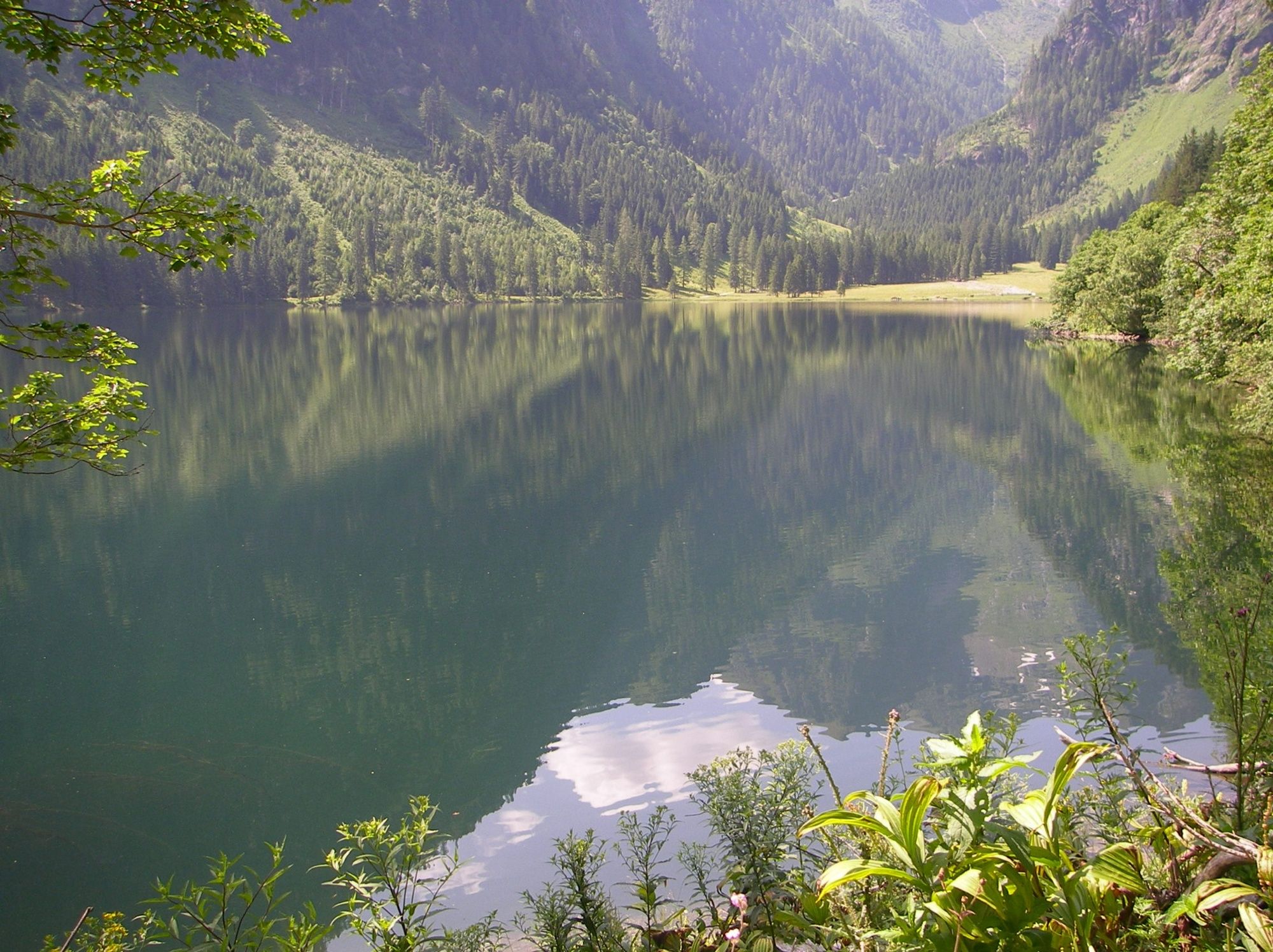
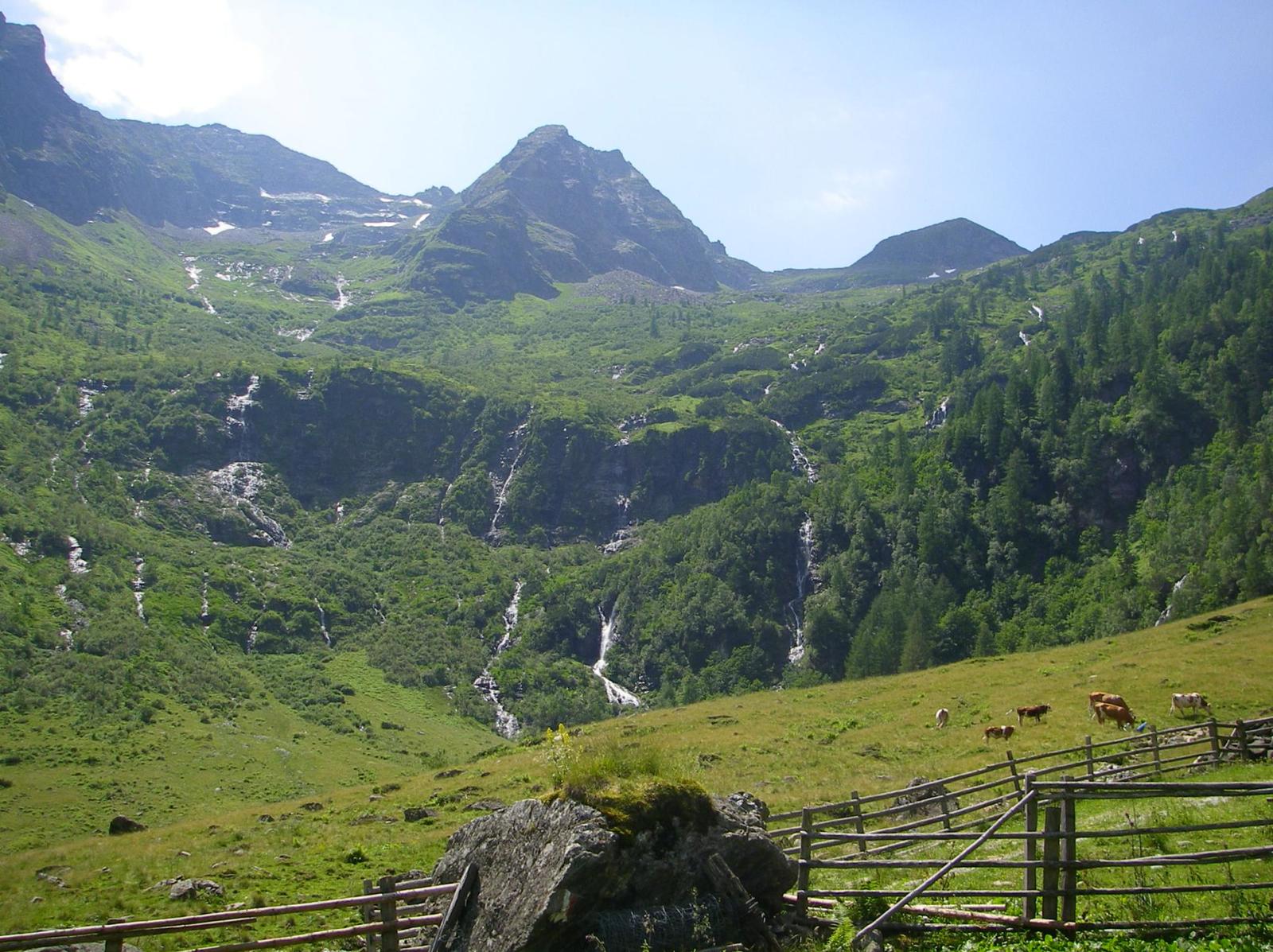
Gemütlich flache Talwanderung im Gebiet Naturpark Sölktäler zum Schwarzensee, bei welcher der Weg zum Schluss bis zur Putzentalalm leicht ansteigt.

Route
Harmer Alm
2,7 km
Putzentalalm
6,0 km
Jägeralm
8,8 km

Maximale hoogte
1.360 m
Hoogteprofiel

Auteur
De rondleiding Schwarzensee - Putzentalalm wordt gebruikt door outdooractive.com op.

5,0
Algemene beoordeling

5

100

%

4

0

%

3

0

%

2

0

%

1

0

%

GPS Downloads
  • GPX GPS Exchange Format (XML)
  • KML Google Earth, Google Maps
QR Downloadcodes voor mobiele telefoons
Meer rondleidingen in de regio's

Populaire rondleidingen in de omgeving

Riesach Wasserfälle

Wandelen
4,73km | 292hm | 03:00h

Steirische and Lungauer Kalkspitze summits via Kranzl

zwaar Wandelen
10,91km | 926hm | 05:10h

Summit Tour to the Knallstein

medium Wandelen
15,51km | 1430hm | 08:00h

Schladming - Hochgolling

zwaar Wandelen
20,64km | 1731hm | 10:30h