© Erlebnisregion Schladming-Dachstein - Christoph Lukas

© Erlebnisregion Schladming-Dachstein - Christoph Lukas

© Erlebnisregion Schladming-Dachstein - Christoph Lukas

© Erlebnisregion Schladming-Dachstein - Christoph Lukas

© Erlebnisregion Schladming-Dachstein - Christoph Lukas
- Korte beschrijving
-
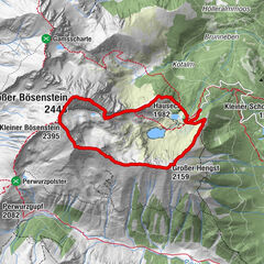
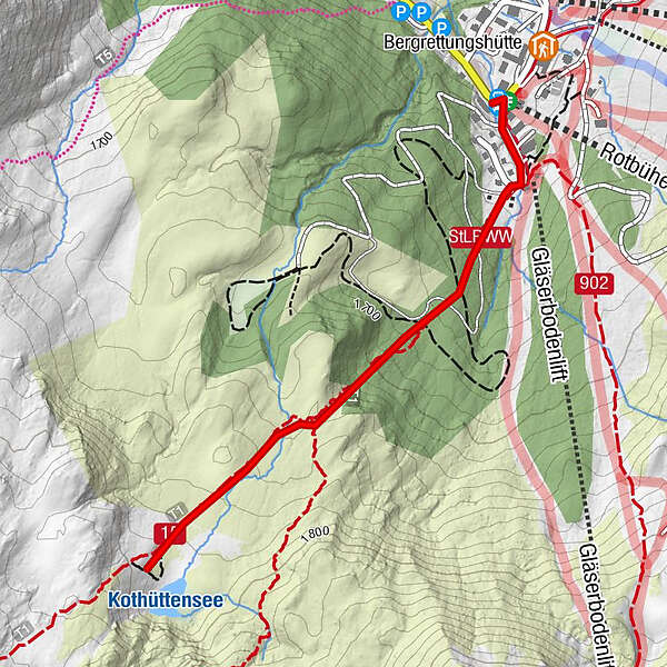
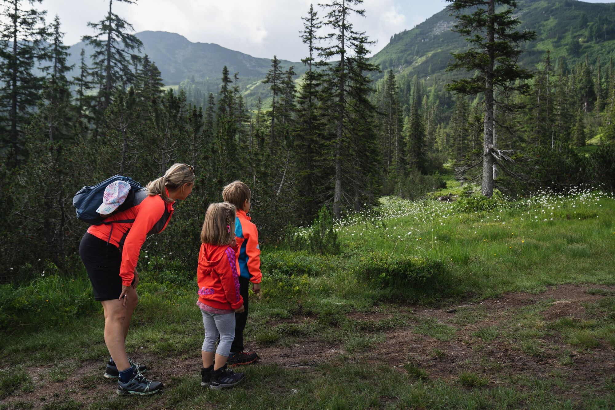
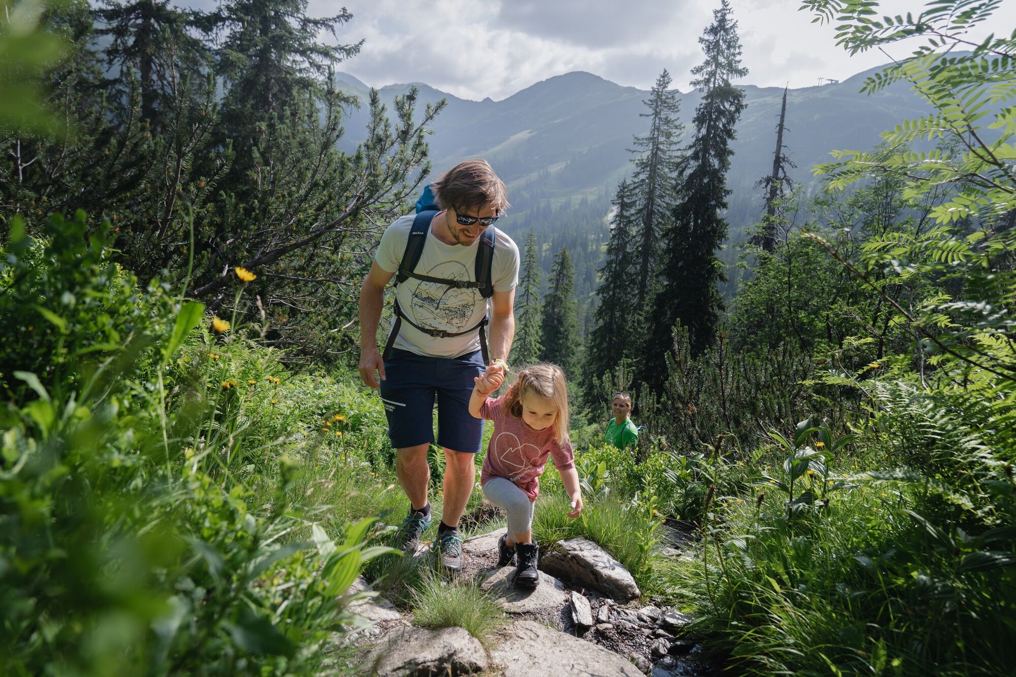
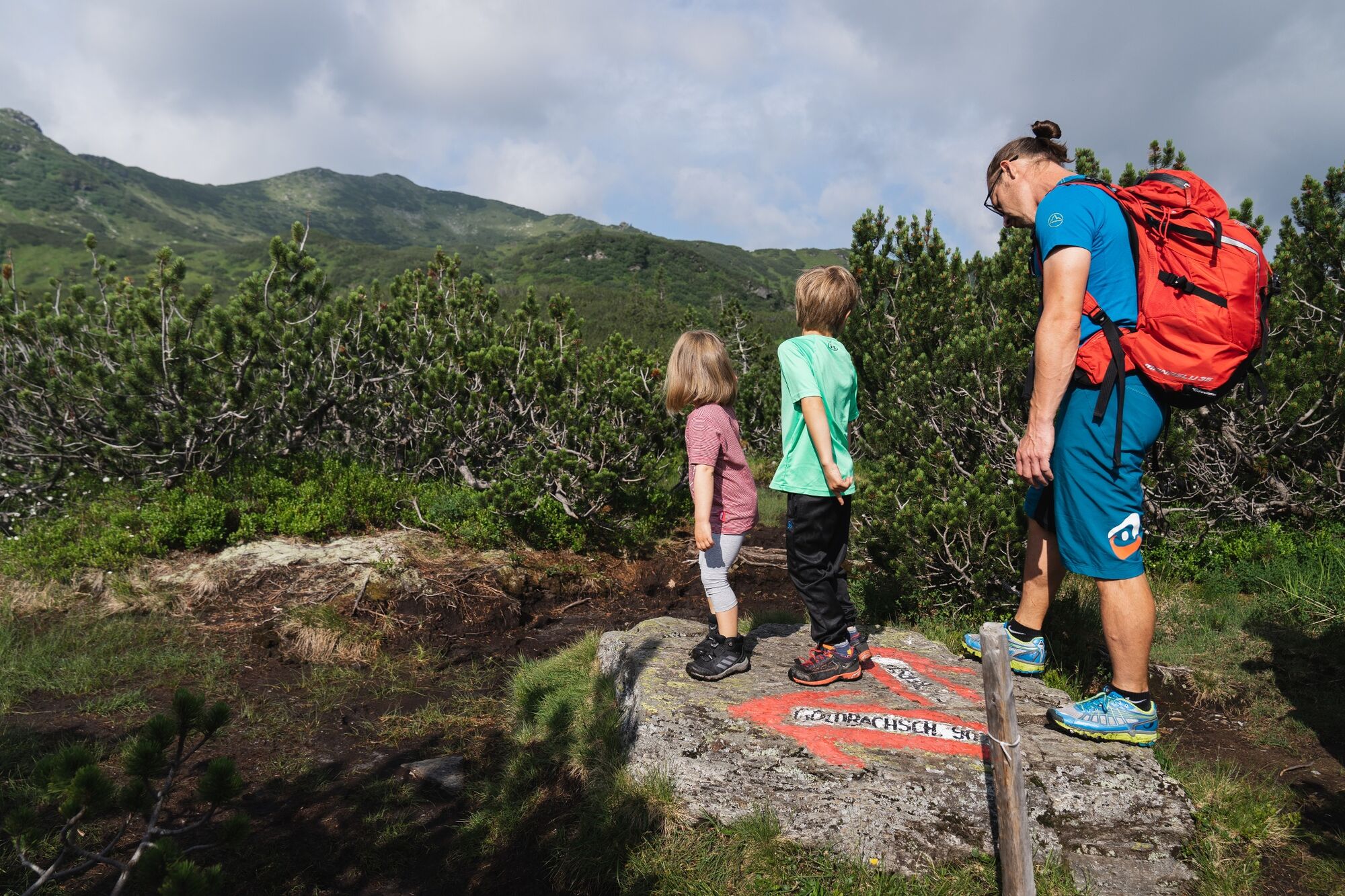
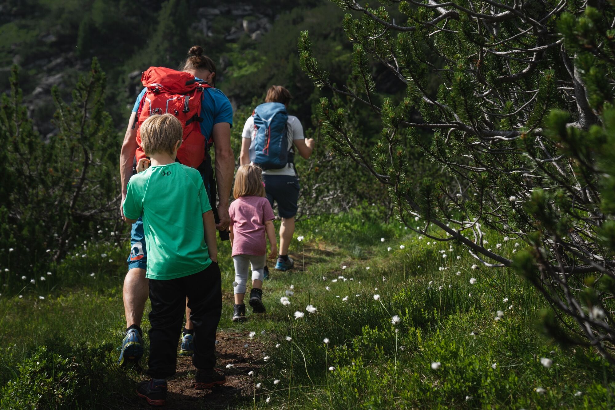
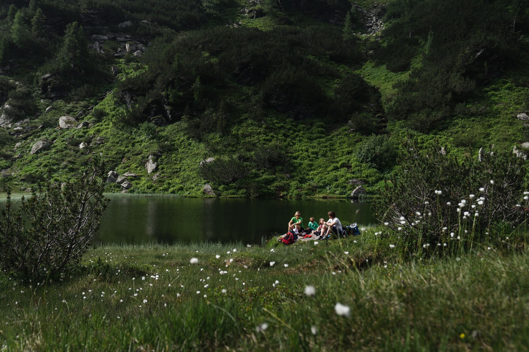
From the Alpengasthof Grimmingblick via the path to the high plateau and the path further to the Kothüttensee. Same way back.
- Moeilijkheid
-
gemakkelijk
- Waardering
-
- Beste seizoen
-
janfebmrtaprmeijunjulaugsepoktnovdec
- Maximale hoogte
- 1.792 m
- Bestemming
-
Parking Planneralm
- Hoogteprofiel
-

- Auteur
-
De rondleiding Kothüttenseeweg wordt gebruikt door outdooractive.com op.
GPS Downloads


Algemene info
Verfrissingsstop
Meer rondleidingen in de regio's